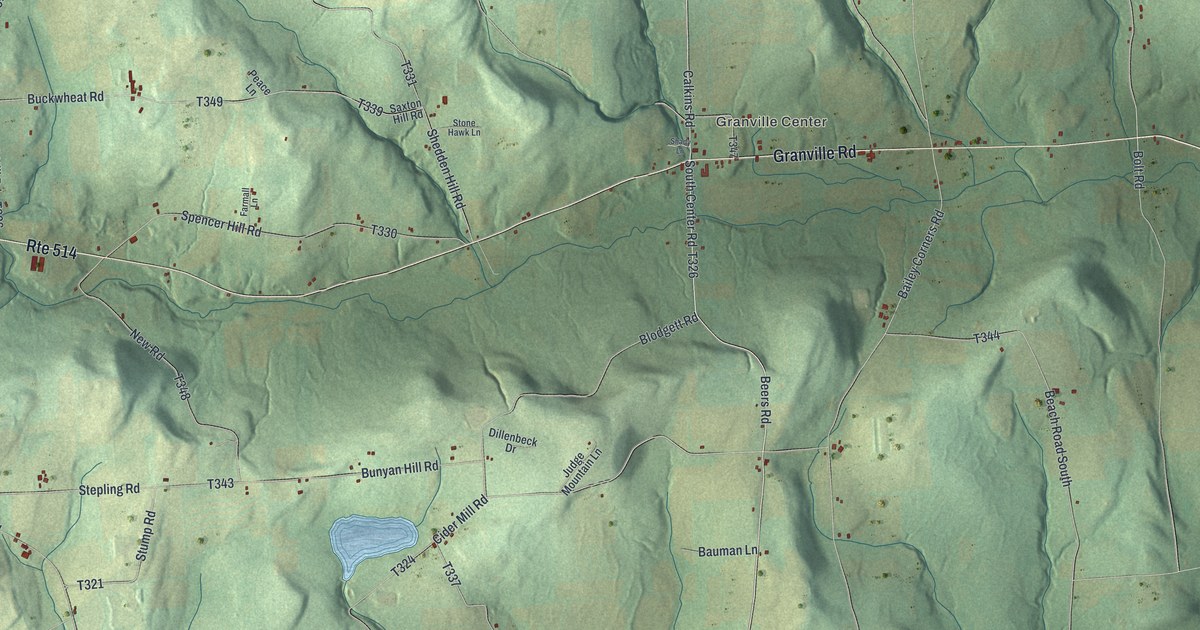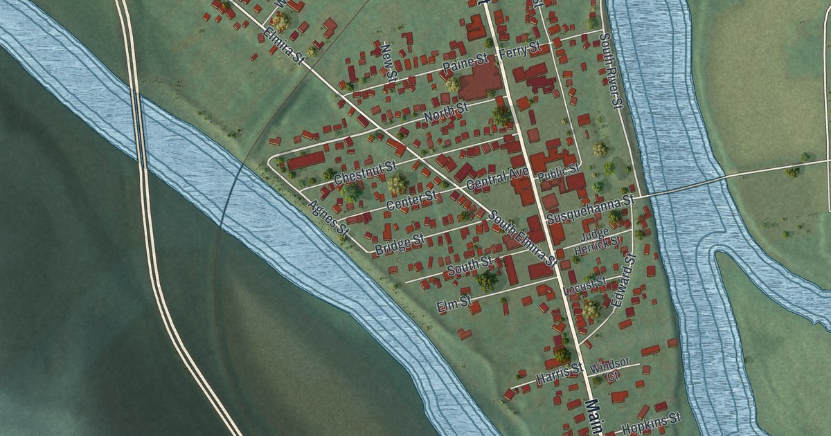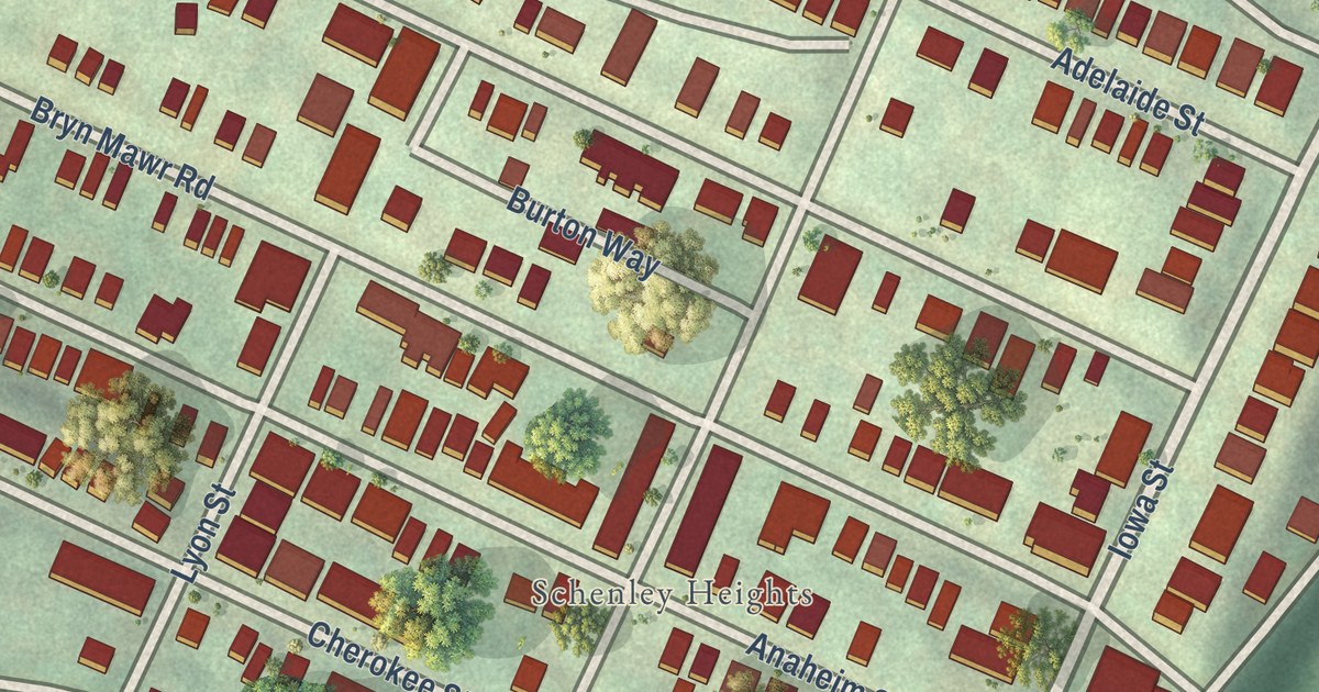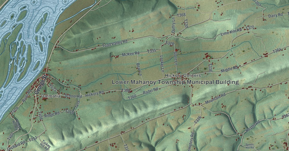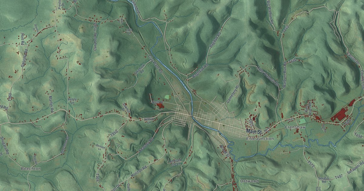
This beautifully detailed map of Snyder, Jefferson County, Pennsylvania was created in 2026 using aerial imagery combined with modern topographical, census, street and landmark data. It’s a one-of-a-kind view of Snyder that combines accurate data with a vintage aesthetic. The map shows every building in its true location, many of the roads carry their names, and the shaded topographic relief shows the shape of the land.
Explore an aerial view of Snyder, Jefferson County, Pennsylvania
On the map you’ll find State Game Lands Number 54, Beechton, Crenshaw, Detwood, Erie Junction, Lanes Mills, and Sugar Hill, along with Main Street, Kearney Road, Bundy Settlement Road, and more. If you look closely you can even find your house accurately drawn in its correct location. Zoom in on the preview to look for yours.
Did you know this piece of Snyder, Jefferson County, Pennsylvania history?
From the 1888 History of Jefferson County, Pennsylvania: "Wild game was abundant, and with elk, bear, deer and wild turkey, to furnish the meat, the bees the honey, and the magnificent groves of sugar maple the molasses and sugar, while the luxurious vegetation furnished their cattle with abundant food, there was no lack of good wholesome food."
Take a closer look at the Snyder, Jefferson County map
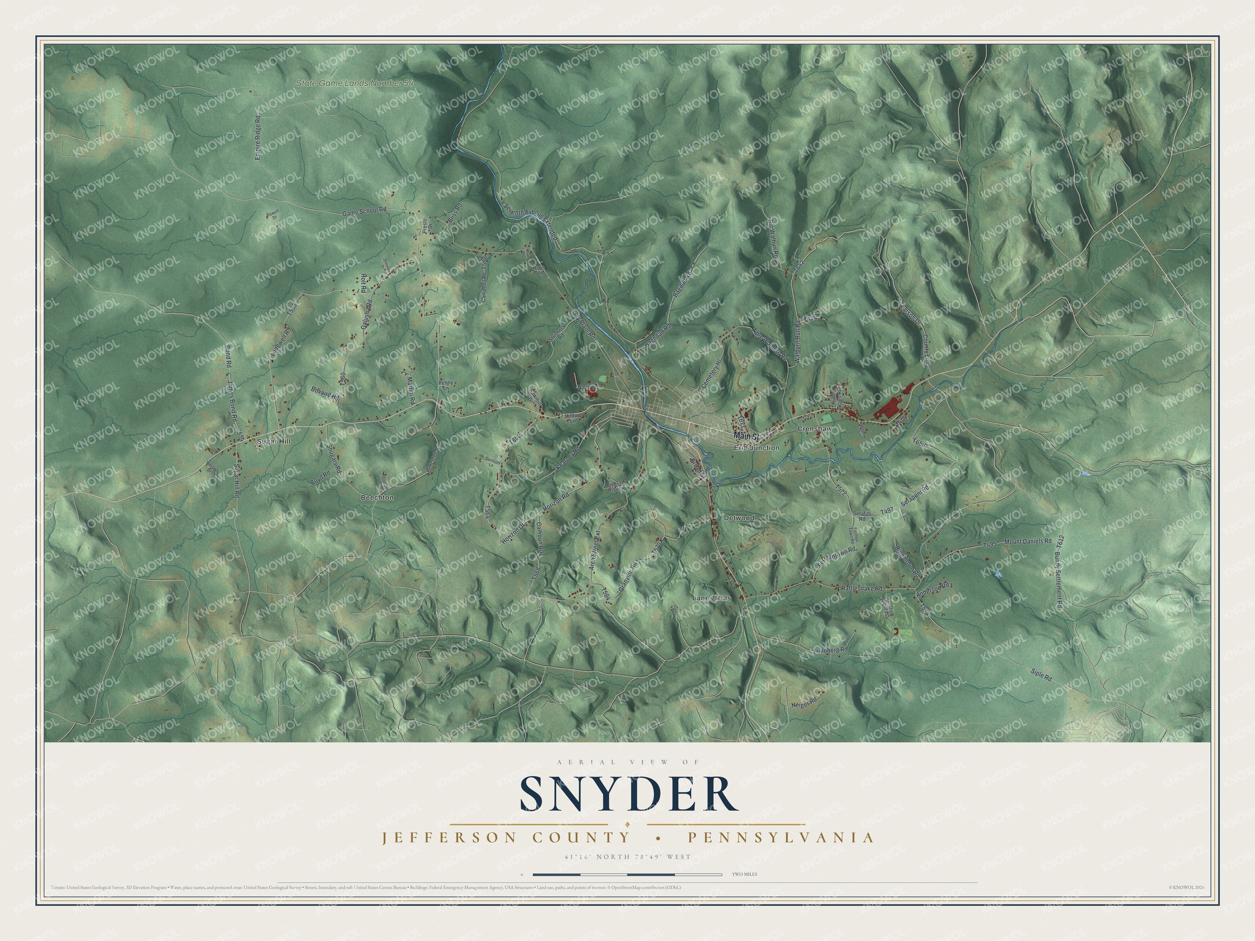
Street and place names on the Snyder, Jefferson County, Pennsylvania map
These names are printed on the map of Snyder, Jefferson County, Pennsylvania.
Places: State Game Lands Number 54, Beechton, Crenshaw, Detwood, Erie Junction, Lanes Mills and Sugar Hill.
Streets and roads: Main Street, Kearney Road, Bundy Settlement Road, Serapeni Road, Horizon Road, Big Walbun Road, Arch Street Extension, Seventh Avenue Extended, Granville Road, Walburn Run Road, Game School Road, Horizon Drive.
More street names, A to Z
Anderson Road, Bagdad Road, Baghdad Road, Beechton Road, Bliss Road, Bond Road, Bond Street, Bovaird Road, Boyd Road, Broad Street, Calhoun Road, Campbell Road, Cemetery Hl, Clay Plant Road, County Line, Denoon Lane, Emerald Isle Lane, Empire Ridge Road, Fermantown Road, Fermon Town Road, Galusha Road, Hilltop Lane, Holt Road, James Bond Road, Larson Drive, Little Walburn Road, Lois Lane, Longwell Road, Lundberg Road, Margaret Drive, Martini Road, Mooney Drive, Mount Daniels Road, Neiger Road, North Street, Olivio Drive, Penny Lane, Pine Acres Road, Powell Drive, Presto Drive, Rattlesnake Road, Ringbloom Road, Sawmill Drive, Scottish Heights Drive, Serafini Road, Shannon Drive, Shugars Road, Siple Road, Strishock Road, Sugar Hill Road, Weisner Drive.
See the Snyder, Jefferson County, Pennsylvania map on a wall
The Snyder, Jefferson County map as an 18 x 24 inch print in a black frame.

This beautifully detailed map of Snyder, Jefferson County makes an attractive addition to your office, library, or den, and it can even be used to teach children the geography and history of the area. It also makes a great gift for anyone who grew up in Snyder or moved away. When you’re done exploring, click here to get your copy of the Snyder, Jefferson County map.