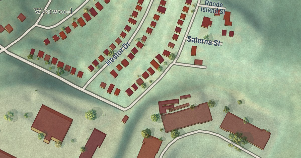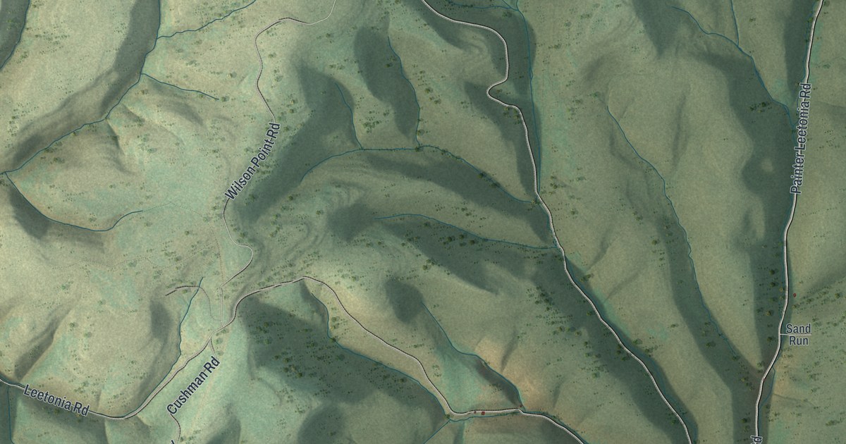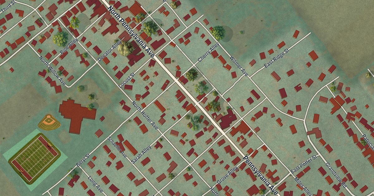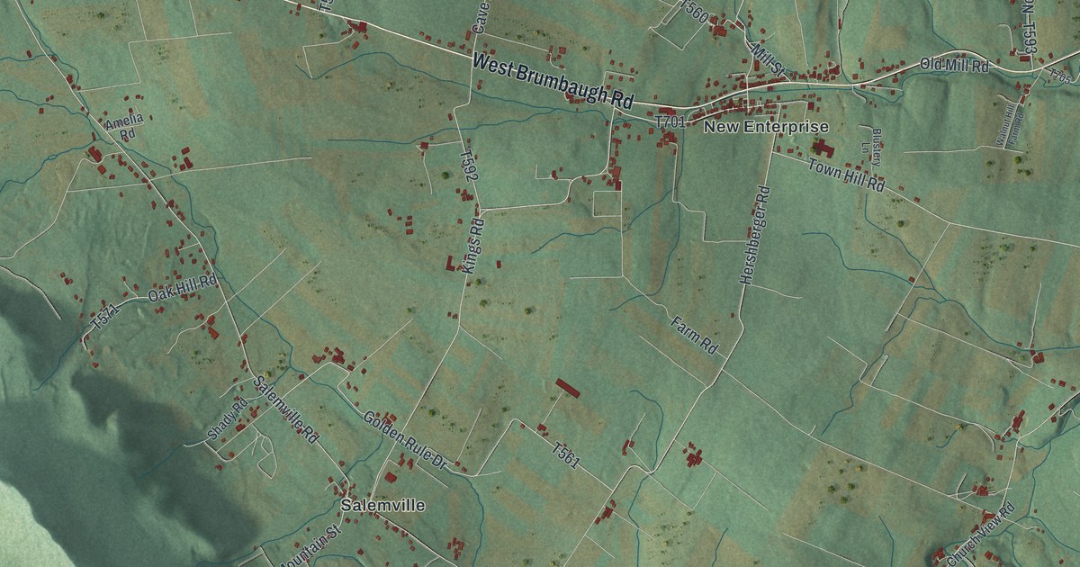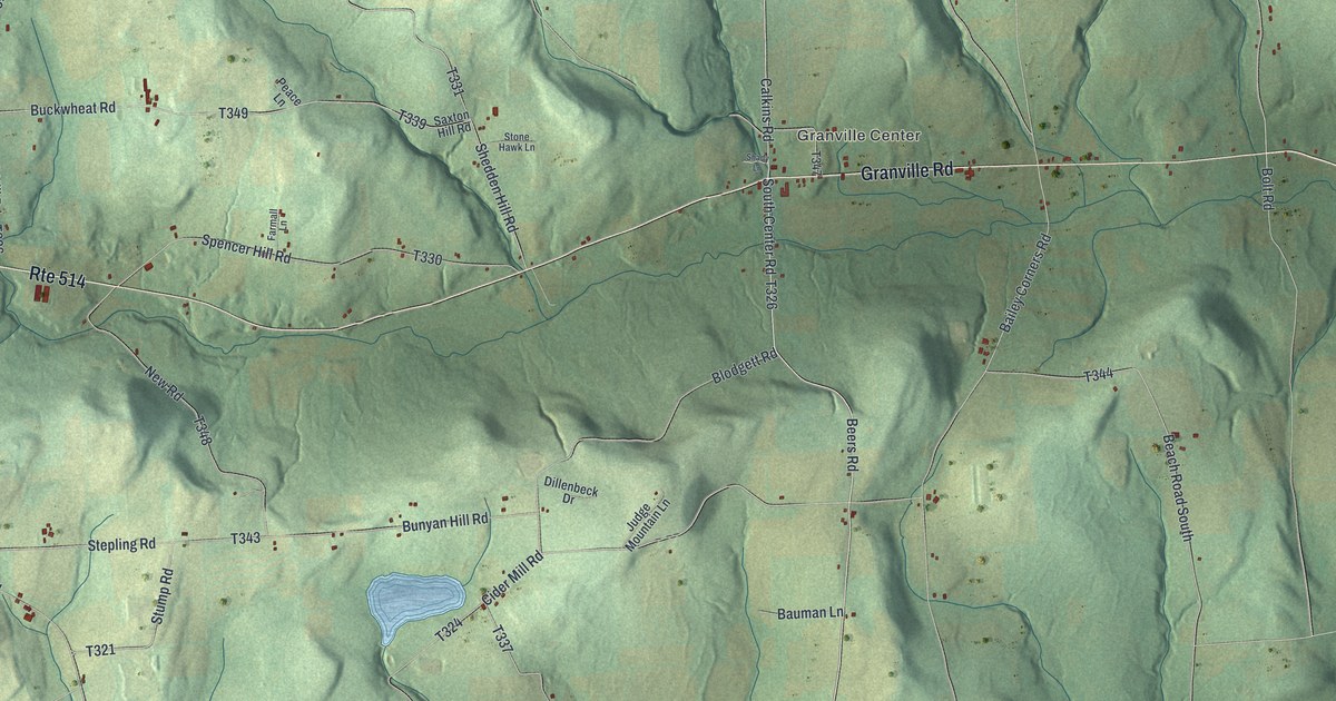
This beautifully detailed map of Granville, Bradford County, Pennsylvania was created in 2026 using aerial imagery combined with modern topographical, census, street and landmark data. It’s a one-of-a-kind view of Granville that combines accurate data with a vintage aesthetic. The map shows every building in its true location, many of the roads carry their names, and the shaded topographic relief shows the shape of the land.
Explore an aerial view of Granville, Bradford County, Pennsylvania
On the map you’ll find Granville Summit, Windfall, and Granville Center, along with Granville Road, South Center Road, Calkins Road, Beers Road, Seeley Road, North Center Road, East Canton – Windfall Road, and more. If you look closely you can even find your house accurately drawn in its correct location. Zoom in on the preview to look for yours.
Did you know this piece of Granville, Bradford County, Pennsylvania history?
From the 1891 History of Bradford County, Pennsylvania: "In 1816 there was the severe frost, in August, that in all parts of the county destroyed corn, and a famine among the people was threatened."
Take a closer look at the Granville, Bradford County map
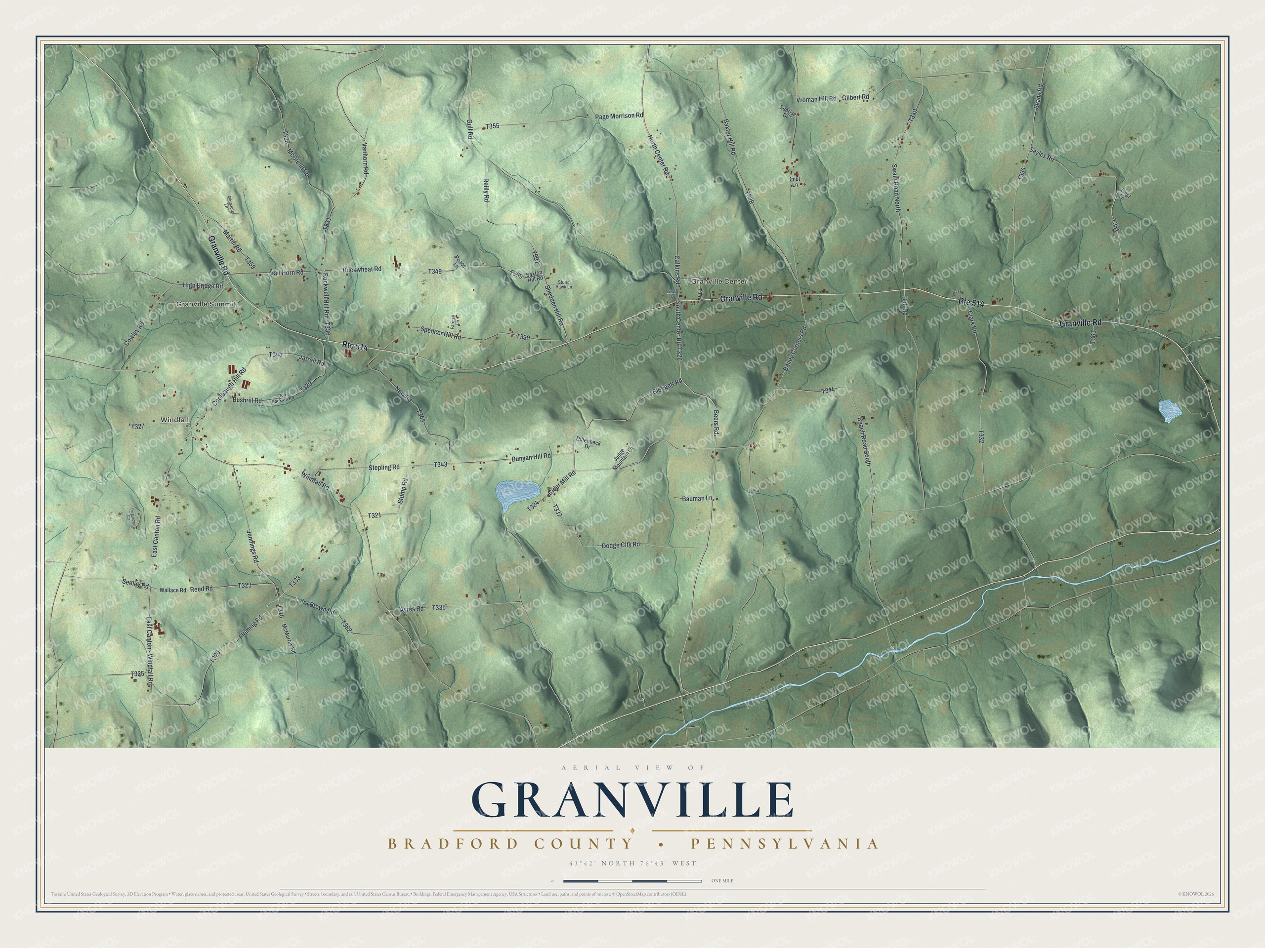
Street and place names on the Granville, Bradford County, Pennsylvania map
These names are printed on the map of Granville, Bradford County, Pennsylvania.
Places: Granville Summit, Windfall and Granville Center.
Streets and roads: Route 514, Granville Road, South Center Road, Calkins Road, Beers Road, Seeley Road, North Center Road, East Canton - Windfall Road, Evans Road, Bolt Road, Van Horn Road, Rockwell Hill Road.
More street names, A to Z
Ayres Road, Bailey Corners Road, Bauman Lane, Baxter Hill Road, Beach Road South, Blodgett Road, Buckwheat Road, Bunyan Hill Road, Bushrill Road, Cider Mill Road, Clark Road, Coolbaugh Hill Road, Cowley Road, Dillenbeck Drive, Dodge City Road, Don Packard Road, East Canton Road, Farmall Lane, Fergusons Circle, Fleming Road, Gilbert Road, Grist Lane, Gulf Road, High Bridge Road, Hurley Lane, Imbt Lane, Ira Brown Road, Jarrell Road, Jennings Road, Judge Mountain Lane, Martin Road, McGlenn Road, McMurray Road, New Road, Page Morrison Road, Peace Lane, Pinnacle Lane, Reed Road, Reilly Road, Saxton Hill Road, Sayles Road, Shady Lane, Shedden Hill Road, Spencer Hill Road, Stepling Road, Stone Hawk Lane, Stump Road, Sunrise Drive, Swain Road North, Vanhorn Road, Vroman Hill Road, Wallace Road, Windfall Road.
See the Granville, Bradford County, Pennsylvania map on a wall
The Granville, Bradford County map as an 18 x 24 inch print in a black frame.

This beautifully detailed map of Granville, Bradford County makes an attractive addition to your office, library, or den, and it can even be used to teach children the geography and history of the area. It also makes a great gift for someone who left Granville and still calls it home. When you’re done exploring, click here to get your copy of the Granville, Bradford County map.