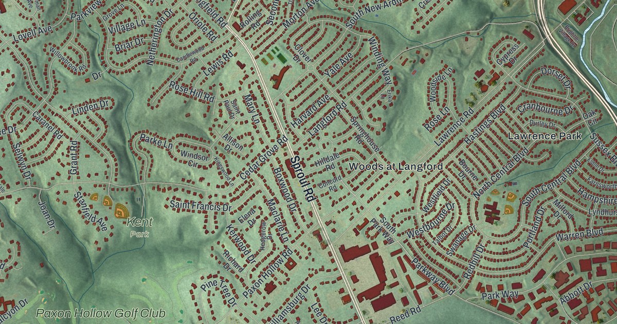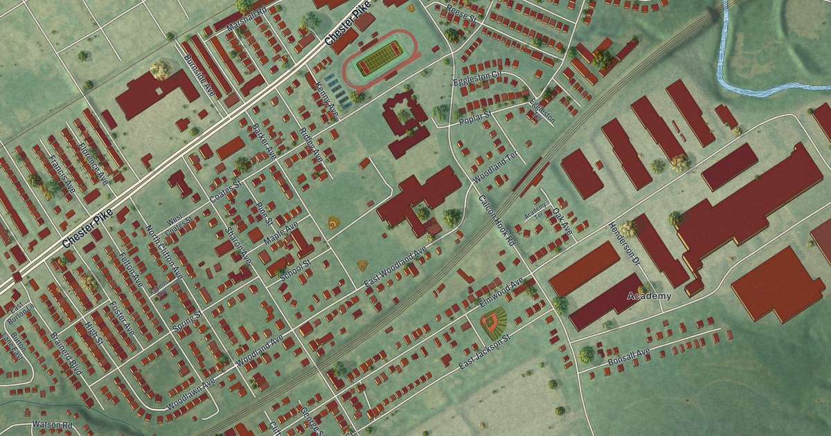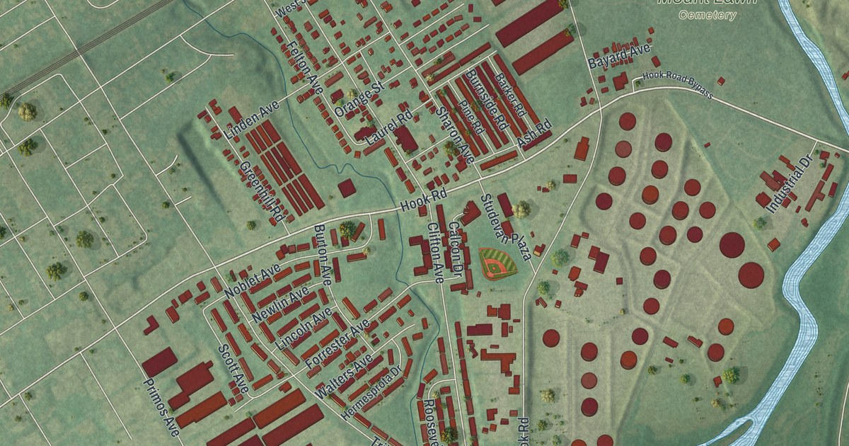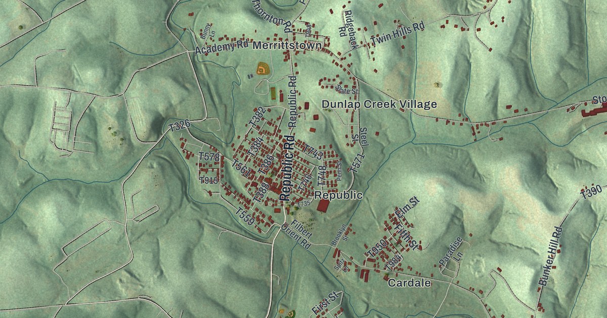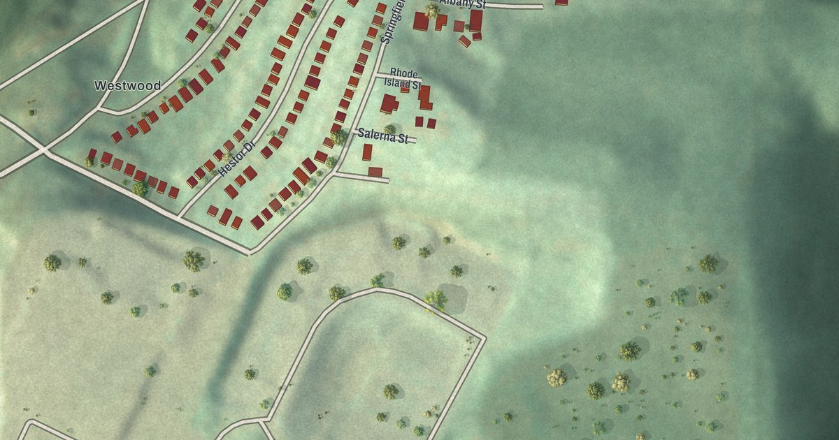
If you grew up near Ridgemont Drive, this map gives you familiar streets to find. It's a modern aerial view of Ridgemont in Allegheny County, Pennsylvania, made with modern data and a vintage feel. Curved rows of red buildings stand out against soft green hills. Broad roads sweep around the lower edge of the view.
Ridgemont Drive, Greentree Road and Westwood
On this map you'll find Ridgemont Drive, Greentree Road, Westwood, Springfield Street, New York Street, Albany Street, Rhode Island Street, Salerna Street, Junius Street, Adolph Street, McKinney Lane, and more. Each red shape is a building, so zoom in on the preview and look for yours.
The hills give this view its shape. Close rows of small buildings curve across the high ground. Green slopes fall into a dark hollow beside them. A few large red building shapes stand amid more open land. You can take in both the small blocks and the land around them at once.
The homes around Ridgemont Drive are one part of Pittsburgh's landscape. A state historical marker tells another part of the city's story. At Smithfield Street and 5th Avenue, it recalls the McClurg Iron Foundry. The foundry supplied cannons and ammunition during the War of 1812. In 1835, the first locomotive steam engine made west of the Alleghenies was built at that downtown site.
A Ridgemont Map for Home
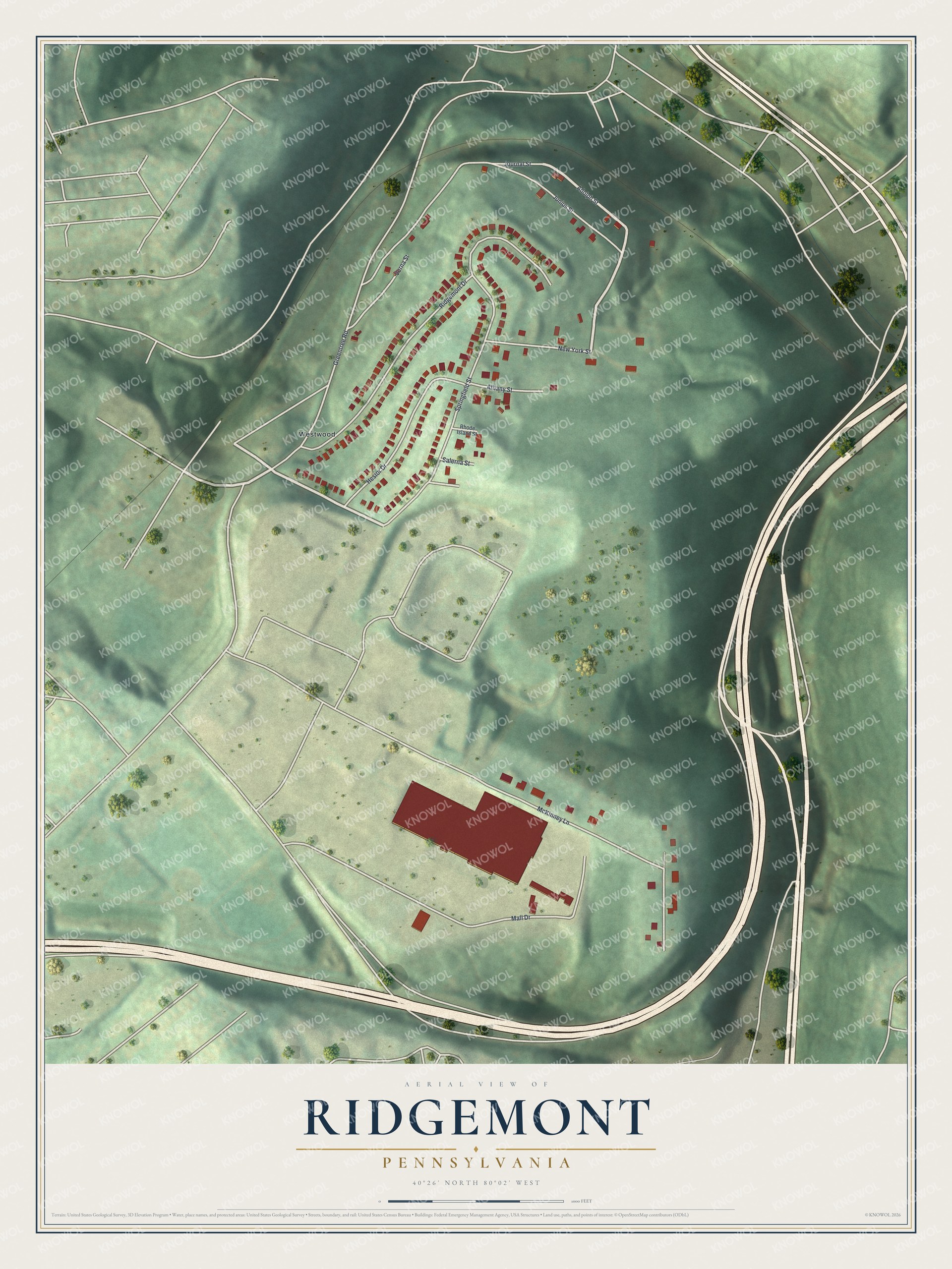
Created by KNOWOL in 2026, the print pairs green shaded hills with red buildings and pale roads. A cream border surrounds the view. The title panel reads AERIAL VIEW OF RIDGEMONT, PENNSYLVANIA, with 40°26' NORTH 80°02' WEST below.
Hang it in a living room, hallway or home office. It's a thoughtful gift for someone who grew up near Greentree Road and moved away. Open the preview and look for the block you'd like to keep close. See sizes and frames for the Ridgemont map.