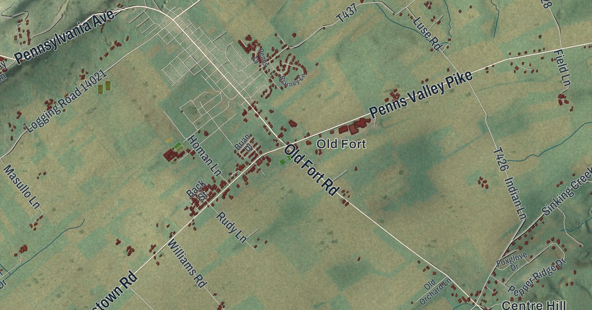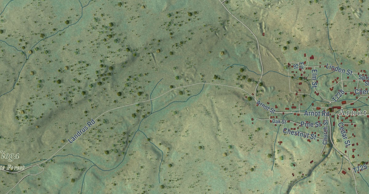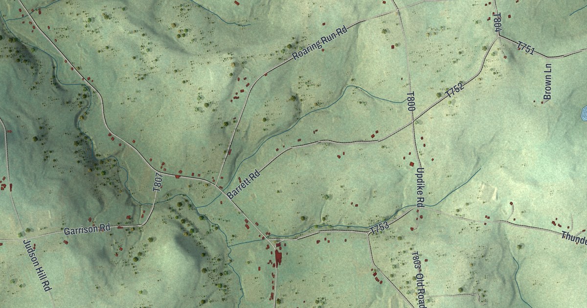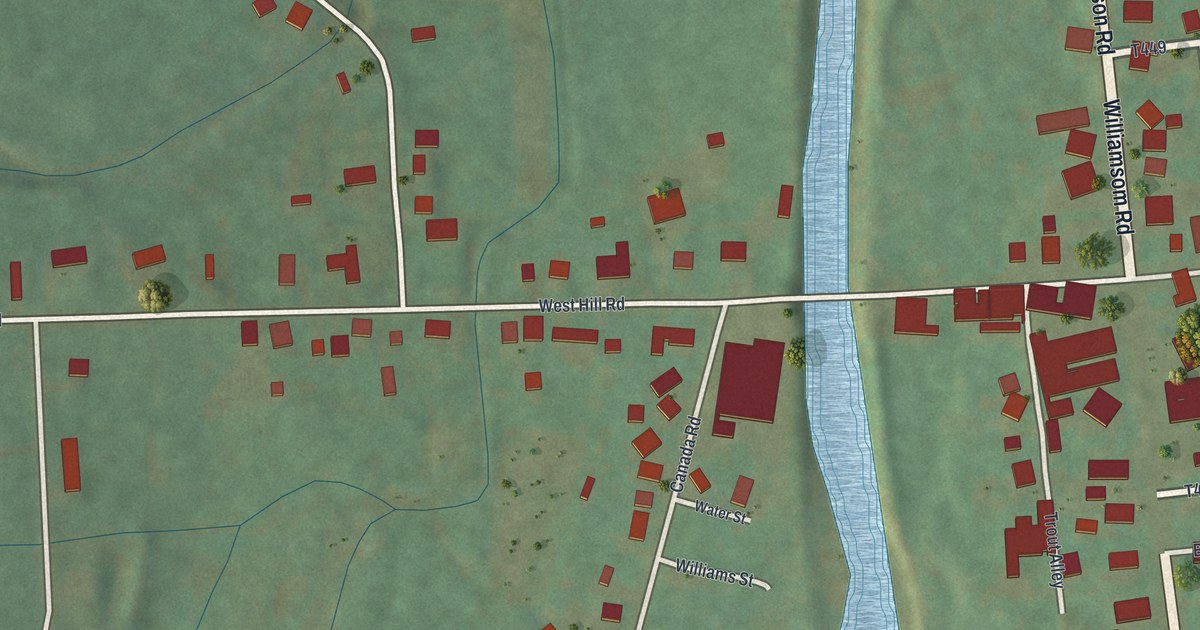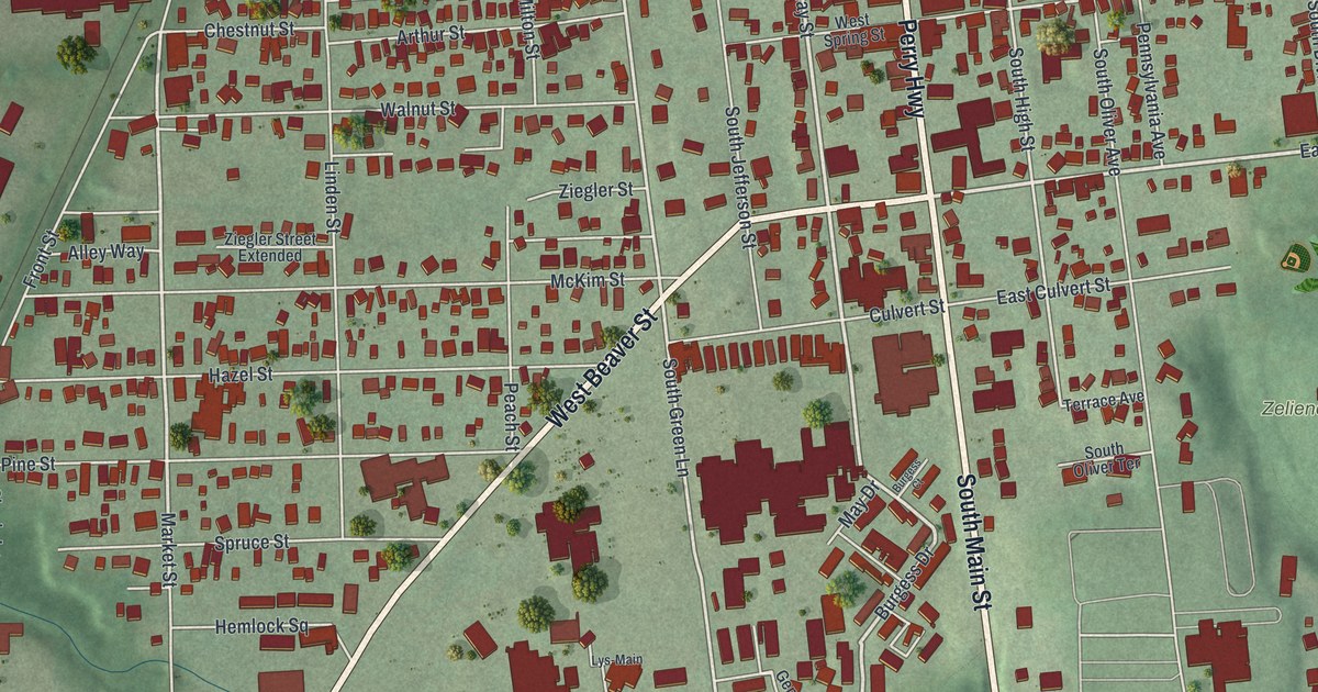
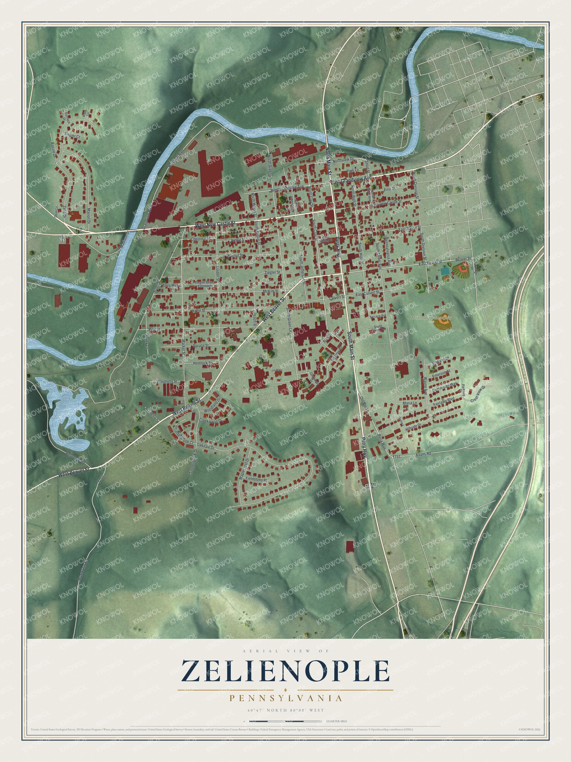
This beautifully detailed map of Zelienople, Pennsylvania was created in 2026 using aerial imagery combined with modern topographical, census, street and landmark data. It’s a one-of-a-kind view of Zelienople that combines accurate data with a vintage aesthetic. The map shows every building in its true location, many of the roads carry their names, and the shaded topographic relief shows the shape of the land.
Explore an aerial view of Zelienople, Pennsylvania
On the map you’ll find Zelienople Community Park, along with West New Castle Street, South Main Street, West Beaver Street, Perry Highway, East Grandview Avenue, North Main Street, East Beaver Street, North Clay Street, Burgess Drive, South Clay Street, Northview Drive, and more. If you look closely you can even find your house accurately drawn in its correct location. Zoom in on the preview to look for yours.
Did you know this piece of Zelienople, Pennsylvania history?
From Day's Historical Collections of Pennsylvania: "Zelienople is on the Conoquenessing, about one mile S. W. of Harmony, and 15 miles from Butler. The town was laid out by Dr. Miller about the year 1806."
Take a closer look at the Zelienople map
Street and place names on the Zelienople, Pennsylvania map
These names are printed on the map of Zelienople, Pennsylvania.
Places: Zelienople Community Park.
Streets and roads: West New Castle Street, South Main Street, West Beaver Street, Perry Highway, East Grandview Avenue, North Main Street, East Beaver Street, North Clay Street, Burgess Drive, South Clay Street, Northview Drive, Short Street.
More street names, A to Z
Allegheny Street, Alley Way, Arthur Street, Badger Drive, Bassie Drive, Beaver Street, Benvenue Road, Burgess Court, Chestnut Street, Creekwood Drive, Crest View Drive, Culvert Street, Dean Lane, Dominican Way, East Culvert Street, East New Castle Street, East Spring Street, Emerson Street, Endress Drive, Evans Road, Fairlawn Boulevard, Fieldstone Place, First Street, Front Street, Furnace Drive, Genkinger Drive, Grandview Boulevard, Halstead Boulevard, Hazel Street, Hemlock Square, Hillside Drive, Linden Street, Lys-Main, Madison Drive, Maiden Lane, Maplecrest Drive, Maria Lane, Marion Drive, Market Street, May Drive, McKim Street, Muntz Run Road, North Division Street, North Green Lane, North High Street, North Jefferson Street, North Milton Street, North Oliver Avenue, Oakdale Drive, Old Route 19, Orchard, Parkedge Drive, Park Lane, Parkway Drive, Peach Street, Pennsylvania Avenue, Perry Way, Pine Street, Rapp Circle, Route 19, Shady Lane, South Division Street, South Green Lane, South High Street, South Jefferson Street, South Milton Street, South Oliver Avenue, South Oliver Terrace, Spruce Street, Terrace Avenue, Timberbrook Court, Timberbrook Drive, Walnut Street, Wayne Avenue, West Grandview Avenue, West Spring Street, Woodland Drive, Zelie Drive, Ziegler Court, Ziegler Street, Ziegler Street Extended.
See the Zelienople, Pennsylvania map on a wall
The Zelienople map as an 18 x 24 inch print in a black frame.

This beautifully detailed map of Zelienople makes an attractive addition to your office, library, or den, and it can even be used to teach children the geography and history of the area. It also makes a great gift for anyone who grew up in Zelienople or moved away. When you’re done exploring, click here to get your copy of the Zelienople map.