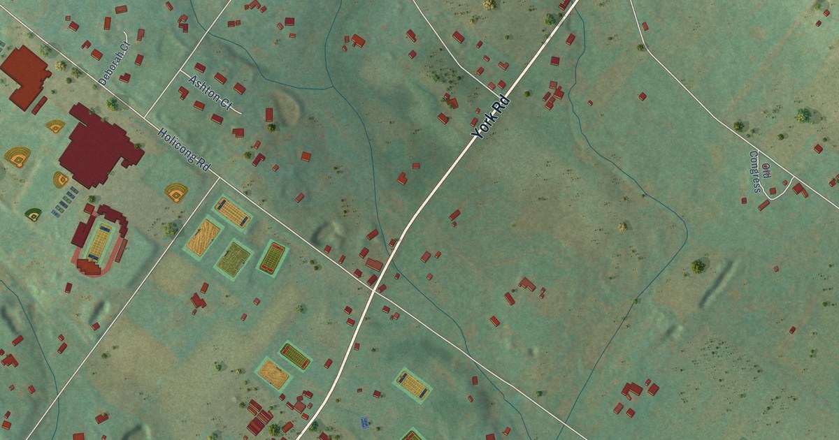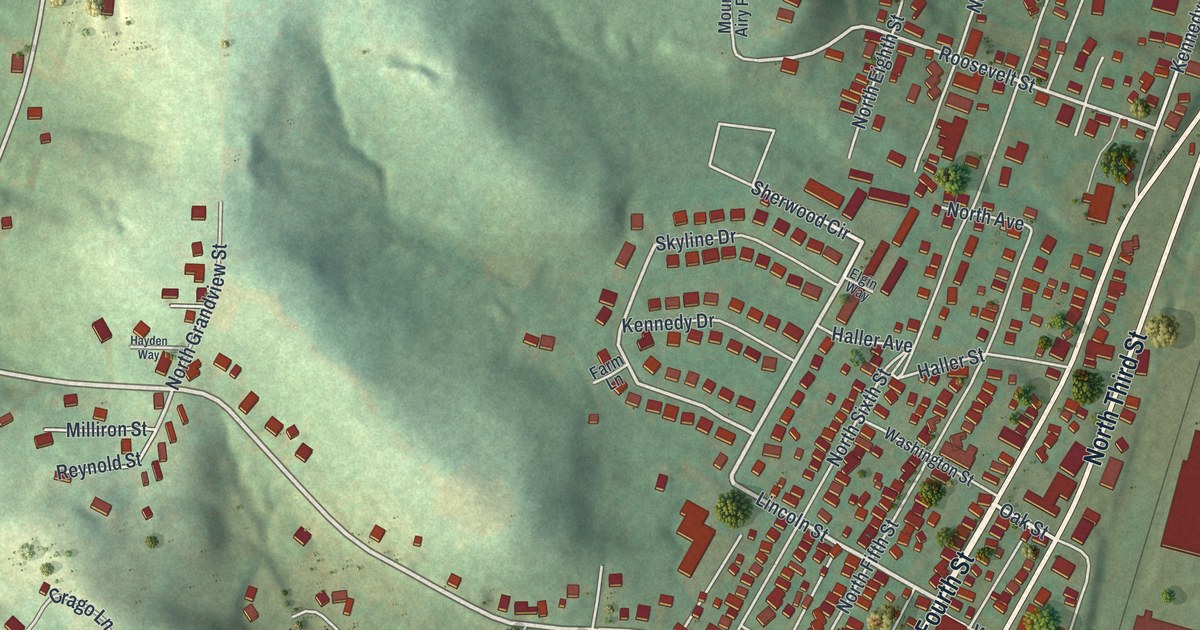
This beautifully detailed map of Youngwood, Pennsylvania was created in 2026 using aerial imagery combined with modern topographical, census, street and landmark data. It’s a one-of-a-kind view of Youngwood that combines accurate data with a vintage aesthetic. The map shows every building in its true location, many of the roads carry their names, and the shaded topographic relief shows the shape of the land.
Explore an aerial view of Youngwood, Pennsylvania
On the map you’ll find Youngwood Park and Pool, along with South Third Street, South Fourth Street, North Fourth Street, North Third Street, Depot Street, Sherwood Circle, Lincoln Street, Depot Road, Burton Avenue, Academy Street, Silvis Farm Road, and more. If you look closely you can even find your house accurately drawn in its correct location. Zoom in on the preview to look for yours.
Did you know this about Youngwood, Pennsylvania?
From the History of Westmoreland County: "The Sewickley Branch of the Pennsylvania Railroad leaves the South-West Branch at Youngwood, running southwest through Hempfield and Mt. Pleasant townships to Unity and Tranger."
Take a closer look at the Youngwood map
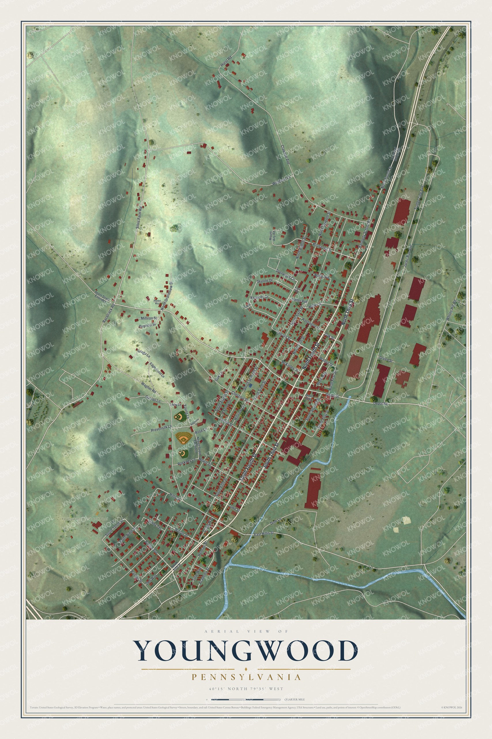
Street and place names on the Youngwood, Pennsylvania map
These names are printed on the map of Youngwood, Pennsylvania.
Places: Youngwood Park and Pool.
Streets and roads: South Third Street, South Fourth Street, North Fourth Street, North Third Street, Depot Street, Sherwood Circle, Lincoln Street, Depot Road, Burton Avenue, Academy Street, Silvis Farm Road, Racetrack Road.
More street names, A to Z
Chestnut Street, Clawson Avenue, Crago Lane, Craig Way, Dell Way, Depot Street Extended, Dme Lane, Eagle Crest Lane, East Hillis Street, Elgin Way, Farm Lane, Garvas Lane, Green Street, Haller Avenue, Haller Street, Hayden Way, Helman Street, Hillis Street, Hillview Lane, Hotel Way, Hurst Road, Jacks Run Avenue, Kennedy Drive, Kennedy School Road, Libby Lane, Locust Street, Lowe Street, McKinley Street, Milliron Street, Mount Airy Road, Newell Street Extended, Newill Street, North Avenue, North Eighth Street, North Fifth Street, North First Street, North Grandview Street, North Seventh Street, North Sixth Street, Oak Lane, Oak Street, Overhead Bridge Road, Painter Street, Prevensilk Lane, Reed Way, Reynold Street, Ridgeview Street, Rockney Lane, Roosevelt Street, Rose Lane, Skyline Drive, South Eighth Street, South Fifth Street, South First Street, South Ninth Street, South Second Street, South Seventh Street, South Sixth Street, South Tenth Street, Sunny Terrace, Tillie Way, Trolley Line Avenue, Un Named Aley, Wagner Road, Walnut Street, Washington Street, Whites Hill Road, Wilson Street, Wineman Lane, Young Lane.
See the Youngwood, Pennsylvania map on a wall
The Youngwood map as an 18 x 24 inch print in a black frame.

This beautifully detailed map of Youngwood makes an attractive addition to your office, library, or den, and it can even be used to teach children the geography and history of the area. It also makes a great gift for someone who left Youngwood and still calls it home. When you’re done exploring, click here to get your copy of the Youngwood map.