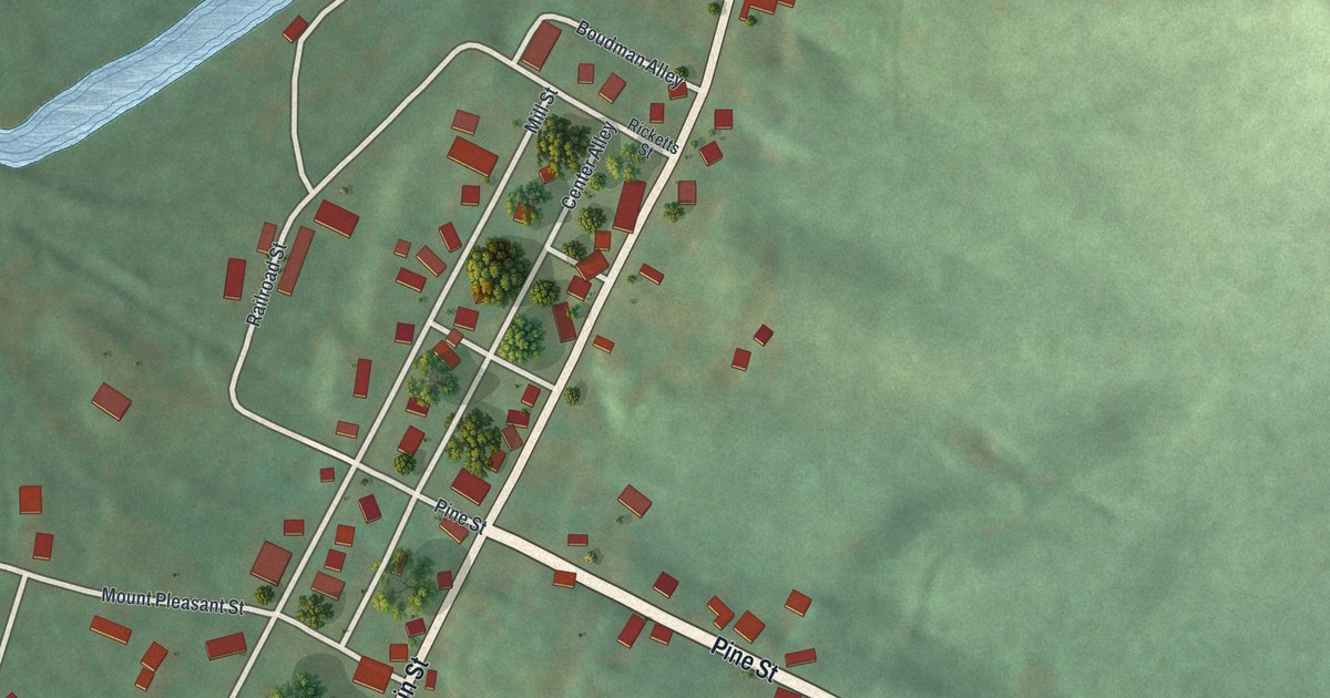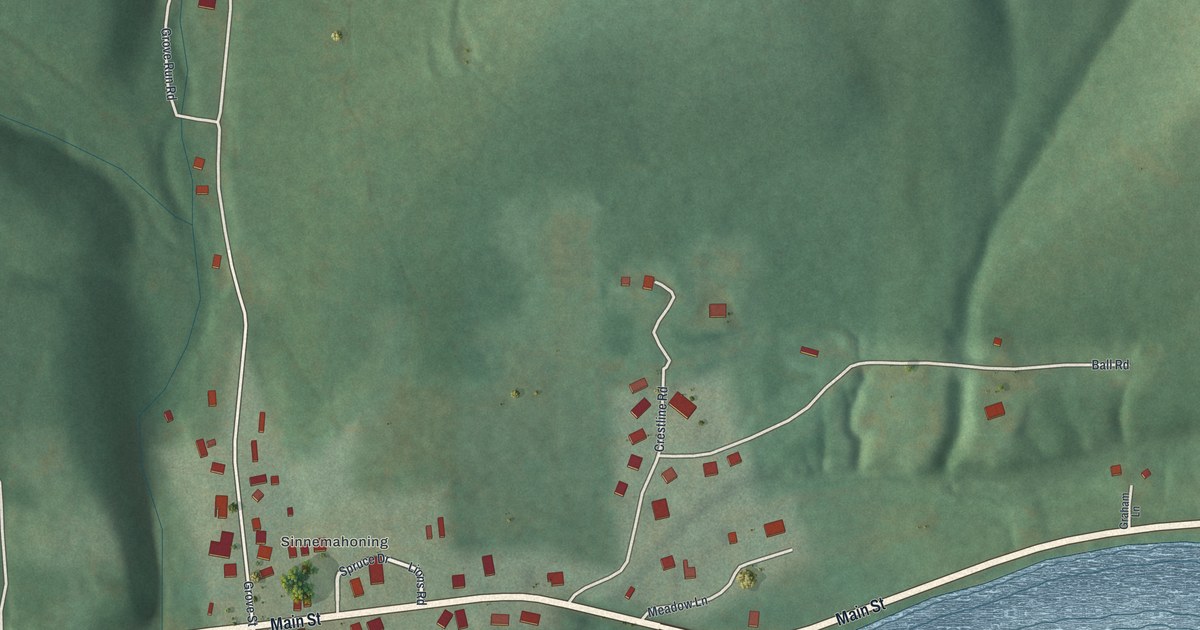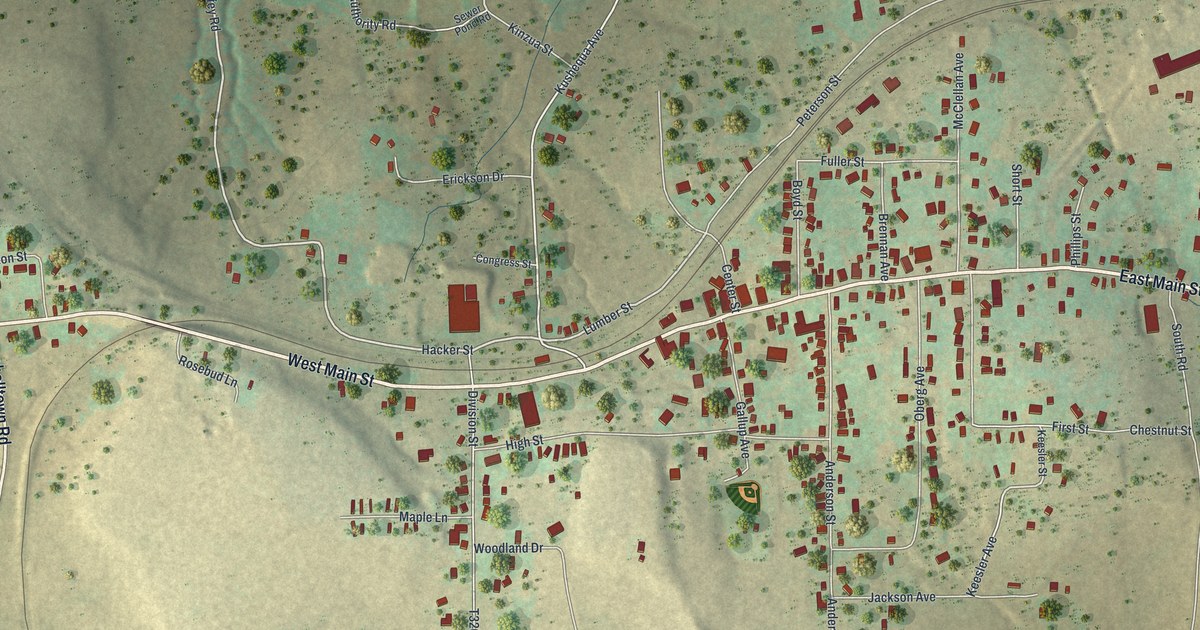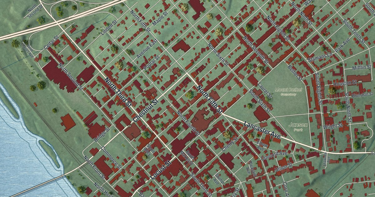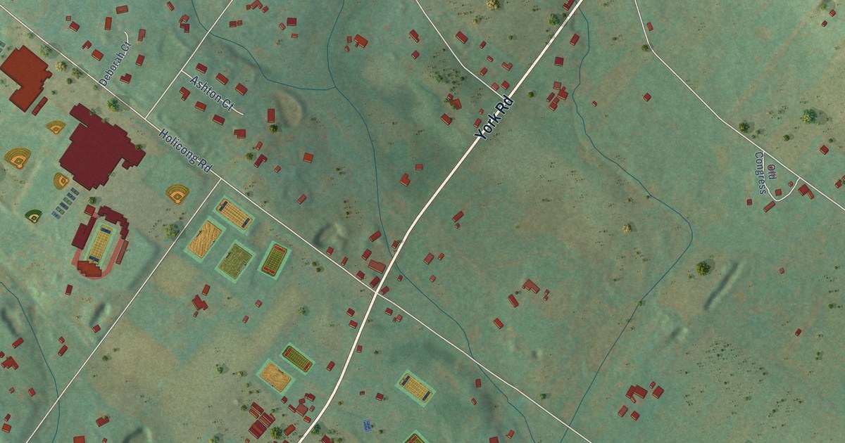
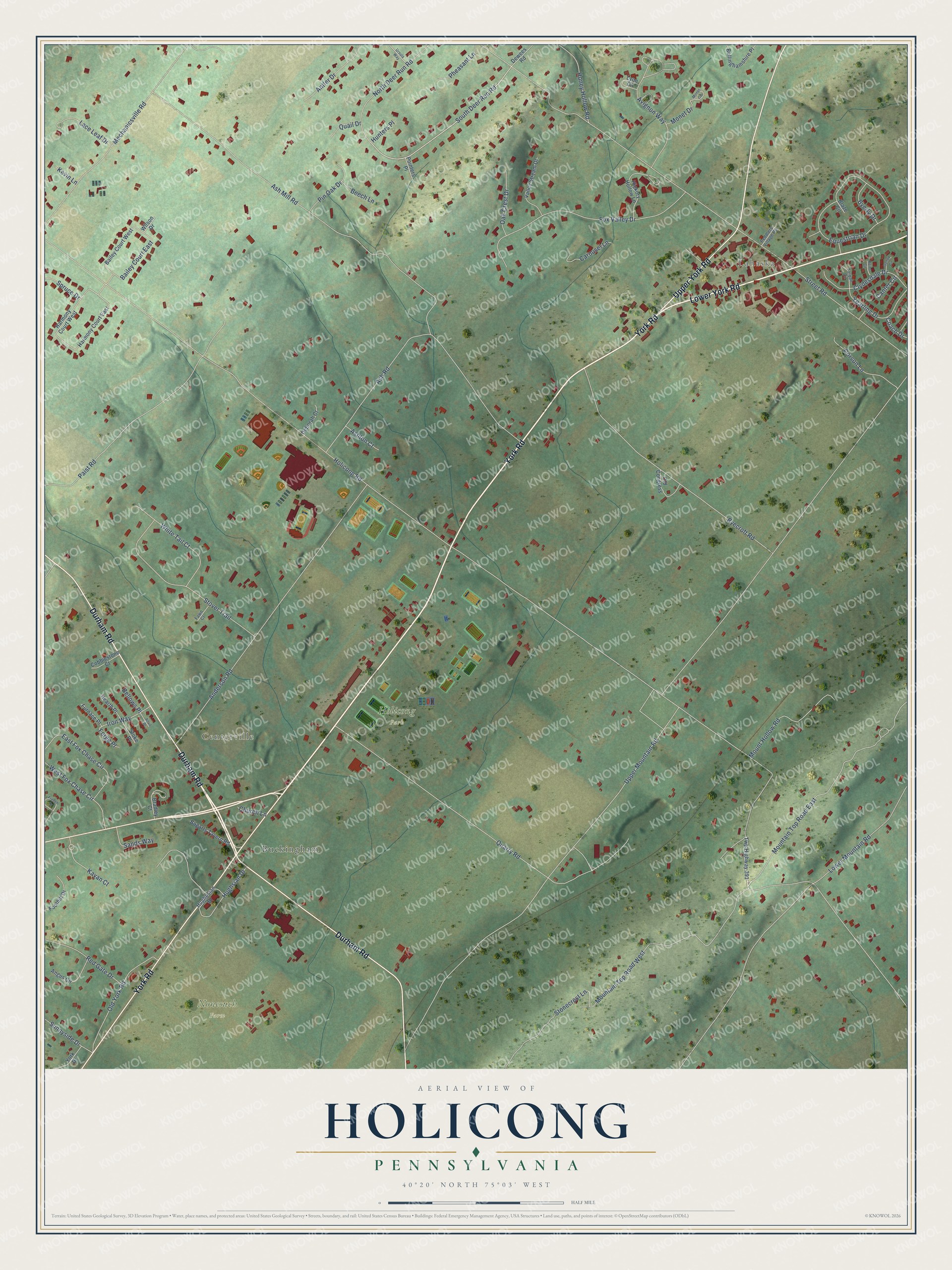
This beautifully detailed map of Holicong, Pennsylvania was created in 2026 using aerial imagery combined with modern topographical, census, street and landmark data. It’s a one-of-a-kind view of Holicong that combines accurate data with a vintage aesthetic. The map shows every building in its true location, many of the roads carry their names, and the shaded topographic relief shows the shape of the land.
Explore an aerial view of Holicong, Pennsylvania
On the map you’ll find Lahaska, Centerville, Holicong Park, Nonesuch Farm, and Buckingham, along with York Road, Durham Road, Upper York Road, Lower York Road, Mountain Top Road East, South Deer Run Road, Bailey Court East, and more. If you look closely you can even find your house accurately drawn in its correct location. Zoom in on the preview to look for yours.
Did You Know?
From Internet Archive: "A noted school in Buckingham in the past was the boarding school for ^rls at Greenville, now Holicong, established 1830, by Martha Hampton and Hannah Lloyd, sisters."
Holicong is a community in Bucks County.
Take a closer look at the Holicong map
Names on this map
These names are printed on this map.
Places: Lahaska, Centerville, Holicong Park, Nonesuch Farm and Buckingham.
Streets and roads: York Road, Durham Road, Upper York Road, Lower York Road, Mountain Top Road East, South Deer Run Road, Bailey Court East, Holicong Road, Upper Mountain Road, Ash Mill Road, Street Road, Lower Mountain Road.
More street names, A to Z
Anderson Road, Angus Circle, Antler Drive, Anvil Place, Ash Road, Ashton Court, Avignon Way, Bailey Court West, Beech Lane, Bellinghamshire Place, Bellows Place, Blaze Circle, Bogarts Tavern Road, Bradley Court, Byecroft Road, Byerly Drive, Canter Circle, Carousel Lane, Church Lane, Clydesdale Drive, Coach Drive, Cobblestone Court, Corson Lane, Deborah Court, Dewees Road, East Fox Chase Circle, Equestrian Drive, Fawn Court, Foothill Drive, Forge Place, Fox Valley Drive, French Drive, Furnace Place, Gallop Circle, Harmony Court East, Harmony Court West, Hearth Place, Hickory Hollow Lane, Honey Hollow Road, Hughesian Drive, Hughsian Drive, Hunters Place, Iron Way, Kavan Court, Kevin Lane, Lace Leaf Drive, Lyon Circle, Mechanicsville Road, Monet Circle, Monet Drive, Mountain Top Road West, Mount Hollow Road, North Deer Run Road, Oak Crest Drive, Old Congress, Old York Road, Paist Road, Peddlers Village Road, Pheasant Lane, Pin Oak Drive, Pointers Place, Quail Drive, Quarry Road, Red Gate Drive, Reins Circle, Sands Way, Spruce Drive, Stoke Place, Stonecrest Lane, Stover Trail, Sunnyside Drive, Tarpan Circle, Twp Highway 391, Ursula Way, Valley Stream Drive, West Fox Chase Circle, White Tail Court, Wilson Drive, Yearling Drive, York Drive.
See it on a wall
The Holicong map as a framed print. Swipe for more.


This beautifully detailed map of Holicong makes an attractive addition to your office, library, or den, and it can even be used to teach children the geography and history of the area. It also makes a great gift for someone who left Holicong and still calls it home. When you’re done exploring, click here to get your copy of the Holicong map.