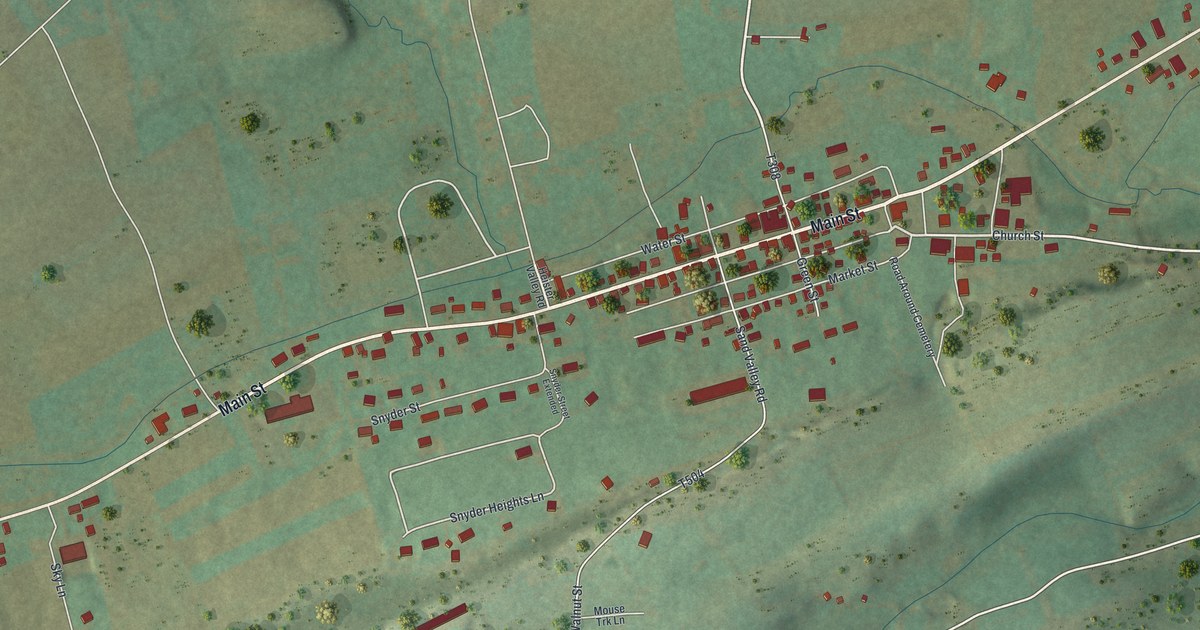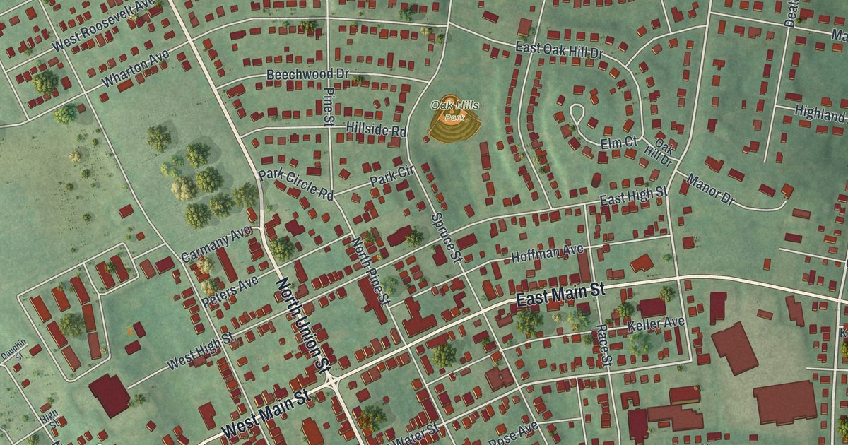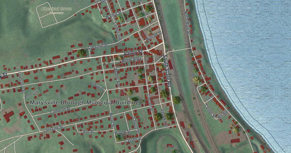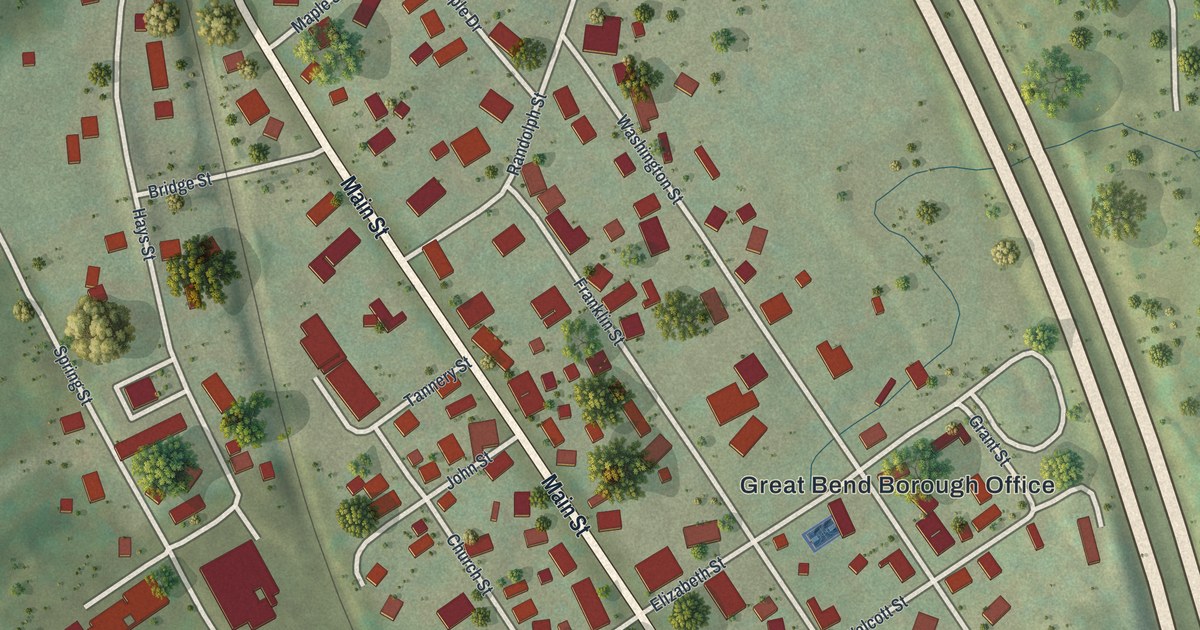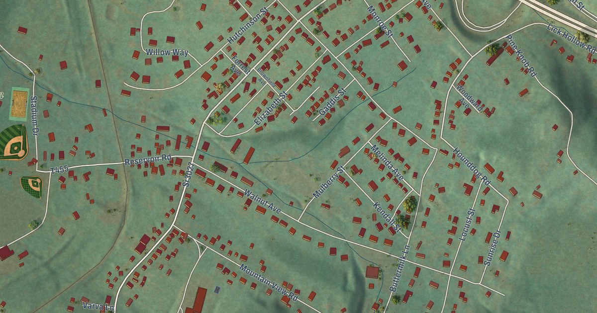
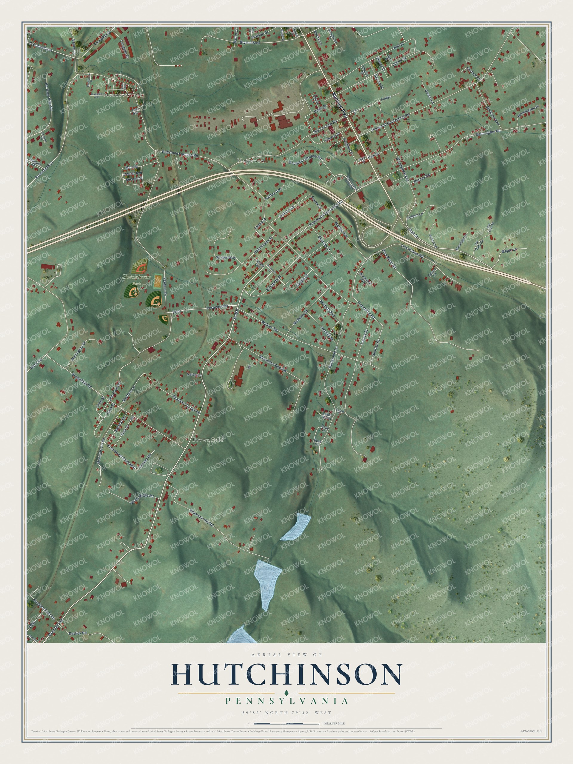
This beautifully detailed map of Hutchinson, Pennsylvania was created in 2026 using aerial imagery combined with modern topographical, census, street and landmark data. It’s a one-of-a-kind view of Hutchinson that combines accurate data with a vintage aesthetic. The map shows every building in its true location, many of the roads carry their names, and the shaded topographic relief shows the shape of the land.
Explore an aerial view of Hutchinson, Pennsylvania
On the map you’ll find Meadowbrook, Hopwood, Brownfield, and Hutchinson Park, along with National Pike, Hopwood Fairchance Road, Mountain Road, Maple Lane, Buttermilk Lane, O’Connell Avenue, High Street, and more. If you look closely you can even find your house accurately drawn in its correct location. Zoom in on the preview to look for yours.
Did You Know?
From Internet Archive: "The name of James Hutchinson, Bachelor of Medicine, 1774, which had heretofore been omitted from the official rolls of graduates of the University, was ordered placed on the rolls of the Medical School."
Hutchinson is a community in Fayette County.
Take a closer look at the Hutchinson map
Names on this map
These names are printed on this map.
Places: Meadowbrook, Hopwood, Brownfield and Hutchinson Park.
Streets and roads: National Pike, Hopwood Fairchance Road, Mountain Road, Sr3027, Maple Lane, Buttermilk Lane, O'Connell Avenue, High Street, Hounddog Road, Melinda Avenue, Second Street, Redstone Furnace Road.
More street names, A to Z
Acorn Lane, Artis Avenue, Bailey Lane, Barnes Road, Baron Court, Bennington Place, Bennington Road, Blackstone Drive, Brownfield Alley, Brownfield Avenue, Brownfield Lane, Brownfield Road, Bryson Boulevard, Buck Lane, Burgess Field Road, Center Avenue, Charles Street, Chatham Circle, Cherry Lane, Church Street, Colbon Lane, Darr Street, Devon Lane, Doyle Street, Duall Drive, Eastgate Road, Elizabeth Street, Fairfax Avenue, Fifth Street, Finley, Finley Street, First Street, First Street Extended, Forrest Avenue, Frazee Street, Gaddis Street, Gallo Lane, Gorleys Lane, Gun Club Road, Harvey Street, Hayden Lane, Heritage Hills Road, Hopwood Coolspring Road, Hutchinson Street, Junior Street, Kendall Street, Krizner Road, Leona Street, Lick Hollow Road, Lieber Manor, Locust Drive, Locust Street, Longsite Drive, Madison Avenue, Main Street, Marie Alley, Martha Avenue, McKnights Hill Road, Monday Lane, Monroe Street, Moonlight Drive, Mountain Shadow Road, Mountain View Road, Mulberry Street, Nell Street, Old Furnace Road, Old Oaks Road, Olld Oaks Road, Paul Street, Pavlick Road, Pike Street, Pine Knob Road, Reservoir Hill Road, Reservoir Road, Rex Drive, Rock Road, Rosedale Lane, Shaffers Corner Road, Shaffers Lane, Sherry Street, Spears Lane, Stadium Drive, Sunrise Drive, Sutton Avenue, Sutton Avenue Extended, Third Street, Township Drive, Varva Lane, Walnut Avenue, Warren Circle, Watson Drive, Wellington Drive, Willow Way, Windy Ridge Road, Woodstock Avenue, Woodstock Street, Woodward Avenue.
See it on a wall
The Hutchinson map as a framed print. Swipe for more.


This beautifully detailed map of Hutchinson makes an attractive addition to your office, library, or den, and it can even be used to teach children the geography and history of the area. It also makes a great gift for anyone who grew up in Hutchinson or moved away. When you’re done exploring, click here to get your copy of the Hutchinson map.