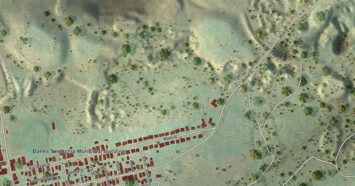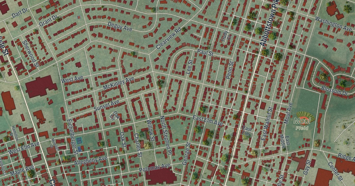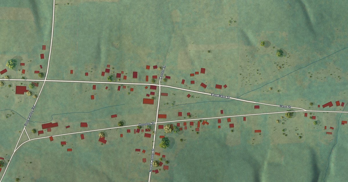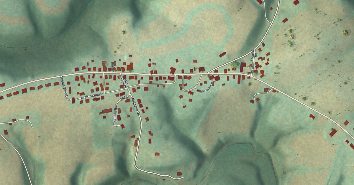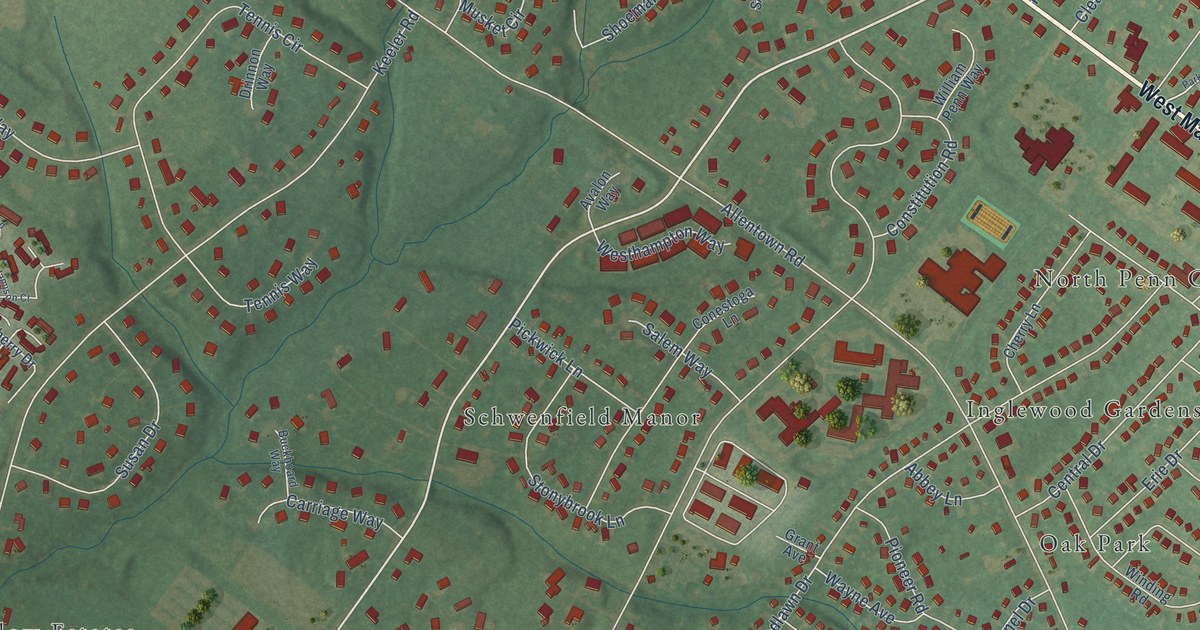
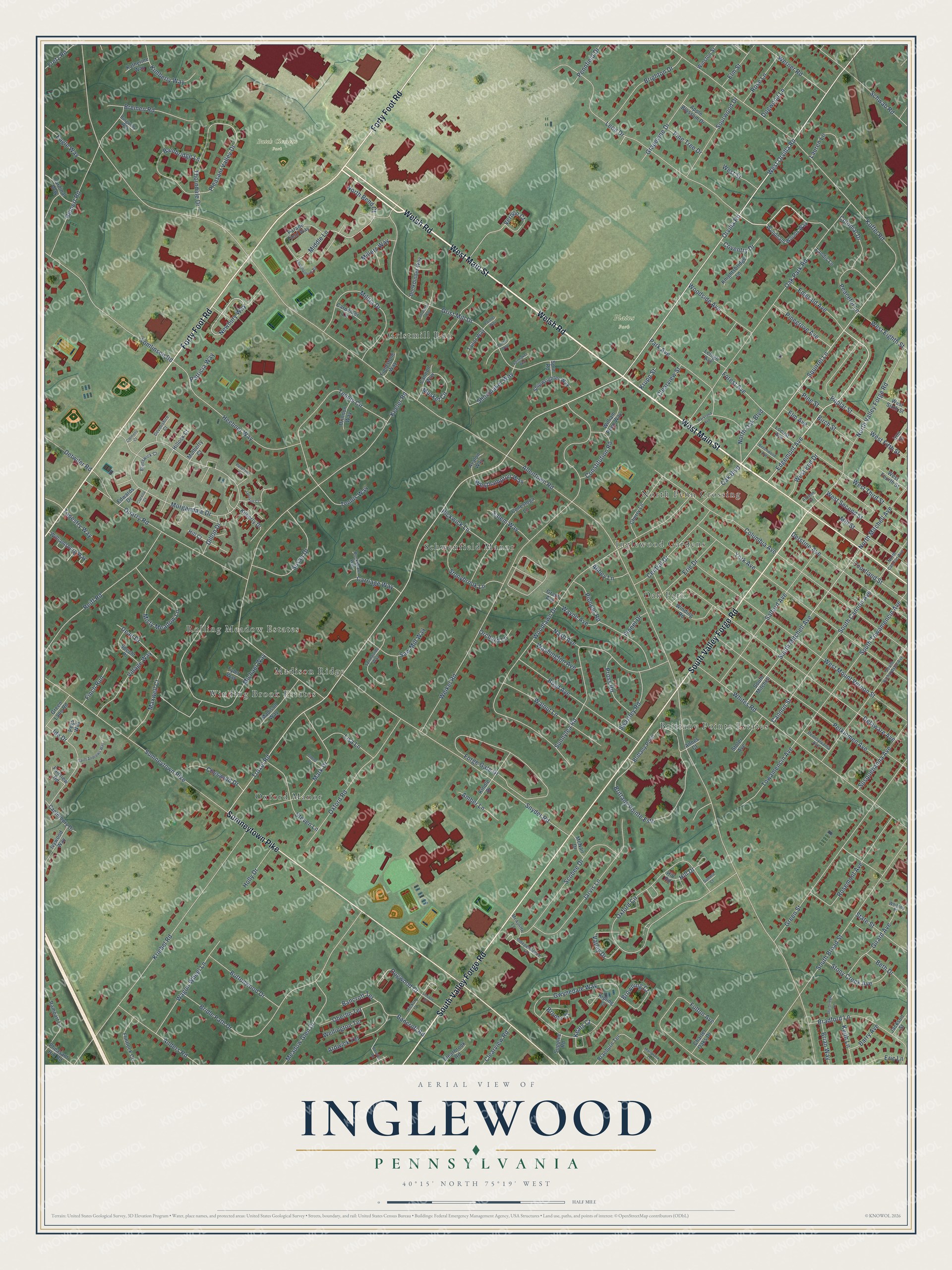
This beautifully detailed map of Inglewood, Pennsylvania was created in 2026 using aerial imagery combined with modern topographical, census, street and landmark data. It’s a one-of-a-kind view of Inglewood that combines accurate data with a vintage aesthetic. The map shows every building in its true location, many of the roads carry their names, and the shaded topographic relief shows the shape of the land.
Explore an aerial view of Inglewood, Pennsylvania
On the map you’ll find Butch Clemens Park, Plains Park, Madison Ridge, Oak Park, Gristmill Run, Oxford Manor, Schwenfield Manor, North Penn Crossing, Brittany Pointe Estates, Winding Brook Estates, Inglewood Gardens, Rolling Meadow Estates, and more. If you look closely you can even find your house accurately drawn in its correct location. Zoom in on the preview to look for yours.
Take a closer look at the Inglewood map
Names on this map
These names are printed on this map.
Places: Butch Clemens Park, Plains Park, Madison Ridge, Oak Park, Gristmill Run, Oxford Manor, Schwenfield Manor, North Penn Crossing, Brittany Pointe Estates, Winding Brook Estates, Inglewood Gardens and Rolling Meadow Estates.
Streets and roads: Welsh Road, West Main Street, South Valley Forge Road, Forty Foot Road, Sumneytown Pike, Orvilla Road, West Orvilla Road, Edgemont Avenue, Squirrel Lane, Troxel Road, Newbury Way, Hill Drive.
More street names, A to Z
Abbey Lane, Allentown Road, Allison Court, Amber Lane, Anders Road, Annes Court, Apple Blossom Drive, Ardwick Terrace, Avalon Way, Bainbridge Lane, Bancroft Road, Bancroft Terrace, Barry Avenue, Beechwood Avenue, Berwick Road, Beth Drive, Birch Street, Bookbinder Way, Boyd Avenue, Bradford Lane, Braeburn Terrace, Bremen Road, Brian Way, Bridle Path Drive, Brighton Drive, Brittany Point, Brittany Pointe Ests, Bronte Court, Browning Court, Brunswick Court, Buckboard Way, Burgundy Way, Buttonwood Drive, Cannon Street, Cannon Way, Canterbury Drive, Cardinal Way, Carpenter Lane, Carriage Way, Central Drive, Charter Oaks Drive, Cherry Lane, Cheswold Drive, Clarella Court, Clearbrook Road, Clearview Road, Clearview Street, Clemens Court, Colonial Drive, Columbia Avenue, Conestoga Lane, Constitution Road, Courtland Street, Coventry Drive, Dean Drive, Delaware Avenue, Derstine Avenue, Detwiler Road, Devonshire Court, Dillon Drive, Dogwood Court, Dogwood Lane, Donna Place, Drinnon Way, Eagle Way, Edwards Drive, Elm Avenue, Elm Street, Emerald Avenue, Encampment Road, Eric Lane, Erie Drive, Fairview Road, Fieldstone Way, Finch Run, Finnel Drive, Flintlock Circle, Forest Avenue, Forge Gate Drive, Fretz Road, Fulton Avenue, Girard Avenue, Grant Avenue, Grapevine Drive, Green Lane Road, Green Street, Grist Mill Drive, Gwynedale Way, Heebner Way, Hickory Court, Hill Court, Hillock Court, Hill Road, Holly Drive, Ide Drive, Independence Lane, Iron Street, Ivywood Way, Jackson Street, Jamison Court, Jarvis Lane, Katherine Way, Keats Court, Keeler Road, Keith Lane, Kilberry Drive, Kimberly Way, Kindle Drive, Kipling Court, Knightsbridge Lane, Koffel Road, Kriebel Road, Krupp Street, Landis Lane, Lauren Lane, Lehigh Avenue, Leon Drive, Lincoln Drive, Lisa Lane, Locust Avenue, Madison Way, Mark Drive, Marlbrook Lane, Maxwell Court, McAuliffe Lane, McNair Drive, Meadow Glen Drive, Michael Way, Middle Lane, Militia Drive, Millers Way, Mill Street, Misty Meadow Lane, Morgandale Drive, Mulberry Court, Musket Circle, Nash Avenue, North Bend Court, North Cannon Avenue, North Mitchell Avenue, North Oak Boulevard, North Valley Forge Road, Oak Boulevard, Oak Park Road, Oberlin Terrace, Orchard Lane, Oxford Circle, Oxford Road, Painter Way, Parade Field Way, Park Avenue, Parkland Avenue, Patricia Way, Peaceful Lane, Pegs Way, Pennfield Drive, Pennland Court, Pennsylvania Avenue, Perkiomen Avenue, Pheasant Hill Road, Pickwick Lane, Pinegrove Avenue, Pine Street, Pine Tree Drive, Pioneer Road, Pleasant Valley Drive, Poplar Street, Printer Way, Pross Road, Quarry Road, Rampart Lane, Reiff Road, Reinert Road, Rose Lane, Rosemont Avenue, Sailmaker Way, Saint Andrews Way, Salem Way, Salford Avenue, Saw Mill Way, Schwab Road, Scobee Drive, Shipwrighter Way, Shoemaker Way, Snyder Road, Sourwood Drive, South Broad Street, South Cannon Avenue, South Mitchell, South Mitchell Avenue, South Richardson Avenue, South Towamencin Avenue, Specht Place, Springside Way, Spur Road, State Street, Steven Lane, Stoler Avenue, Stonybrook Lane, Stony Creek Avenue, Sturbridge Lane, Summit Court, Sunnylea Road, Supplee Road, Susan Drive, Susquehanna Avenue, Swartley Road, Tailor Way, Tapestry Way, Tennis Circle, Tennis Way, Thorndale Drive, Thresher Way, Tomlinson Road, Towamencin Avenue, Tyler Way, Valley Drive, Vernon Court, Village Way, Wagon Wheel Lane, Walnut Lane, Washington Avenue, Wayne Avenue, Weikel Road, Wellington Terrace, Werner Road, West Eighth Street, West End Drive, West Fifth Street, West Fourth Street, Westhampton Way, West Mount Vernon Street, West Second Street, West Sixth Street, West Street, West Third Street, Whites Road, Whitney Place, William Penn Way, Williamsburg Way, Winding Road, Winston Street, Woodlawn Drive, Woodside Avenue, Wyndham Woods Way, York Avenue.
See it on a wall
The Inglewood map as a framed print. Swipe for more.


This beautifully detailed map of Inglewood makes an attractive addition to your office, library, or den, and it can even be used to teach children the geography and history of the area. It also makes a great gift for anyone who grew up in Inglewood or moved away. When you’re done exploring, click here to get your copy of the Inglewood map.