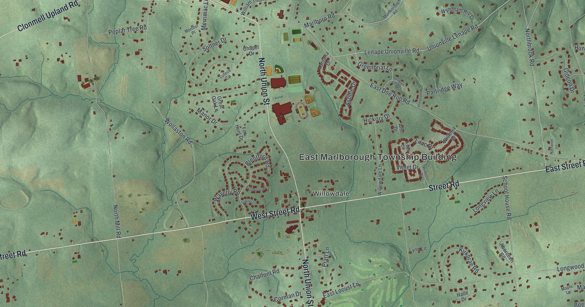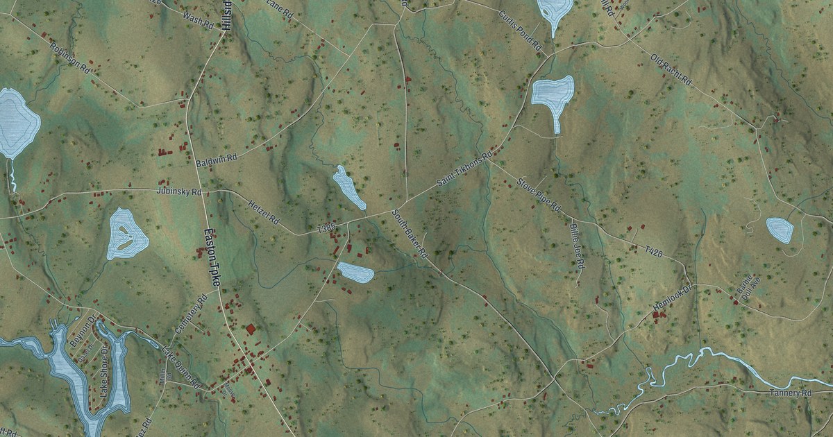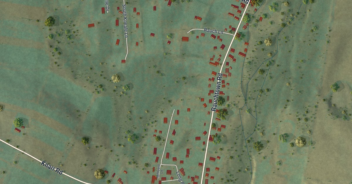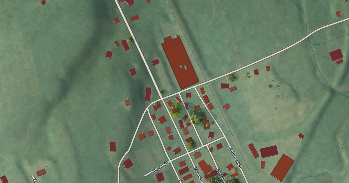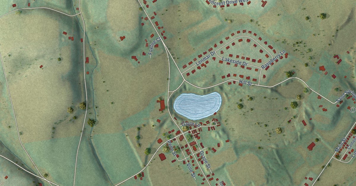
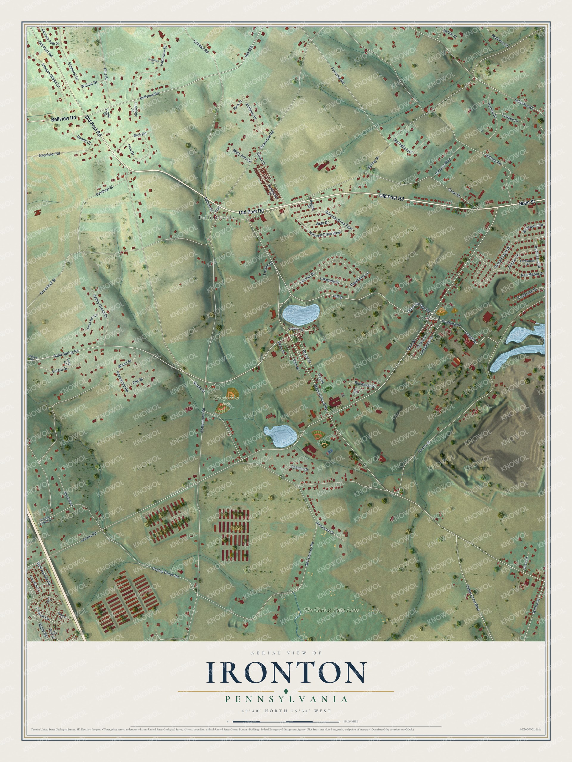
This beautifully detailed map of Ironton, Pennsylvania was created in 2026 using aerial imagery combined with modern topographical, census, street and landmark data. It’s a one-of-a-kind view of Ironton that combines accurate data with a vintage aesthetic. The map shows every building in its true location, many of the roads carry their names, and the shaded topographic relief shows the shape of the land.
Explore an aerial view of Ironton, Pennsylvania
On the map you’ll find Kolapechka Park, Ormrod, Balliettsville, and The Club at Twin Lakes, along with Old Post Road, Main Street, Bellview Road, Hill Street, Sand Spring Road, Levans Road, Mauch Chunk Road, Maple Street, and more. If you look closely you can even find your house accurately drawn in its correct location. Zoom in on the preview to look for yours.
Did You Know?
From Internet Archive: "Tinsley Jeter and his associates, built the Ironton Railroad from Hokendauqua and Coplay to Ironton and to certain limestone quarries and ore beds along the base of the Kittatinny Mountains."
Ironton is a community in Lehigh County.
Take a closer look at the Ironton map
Names on this map
These names are printed on this map.
Places: Kolapechka Park, Ormrod, Balliettsville and The Club at Twin Lakes.
Streets and roads: Old Post Road, Main Street, Bellview Road, Hill Street, Sand Spring Road, Levans Road, Mauch Chunk Road, Maple Street, Coffeetown Road, Spring Street, Coplay Creek Road, Quarry Street.
More street names, A to Z
Anthony Drive, Apache Court, Apple Road, Appleseed Drive, Balliet Street, Beech Court, Black Forest Drive, Briarwood Drive, Buchanan Street, Buck Run, Cardinal Street, Carriage Path Drive, Cedar Crest Boulevard, Cement Street, Clearview Road, Cobbler Road, Coplay Creek Court, Court Street, Creekside Drive, Crest Street, Daniel Street, Elmhurst Drive, Estate Drive, Excelsior Road, Fairview Road, Farmview Drive, Fernwood Drive, Foxfire Court, Gayle Lane, Golf Course Road, Grape Street, Green Hill Circle, Greenleaf Street, Greentrail Drive, Grey Wolf Lane, Heights Drive, Highridge Circle, Hillcrest Drive East, Hillcrest Drive West, Hillside Road, Homestead Drive, Jaguar Court, Jean Court, Juniper Drive, Lakeside Drive, Land Lane, Lehigh Street, Lenape Drive, Lenmar Drive, Lil Wolf Circle, Lil Wolf Drive, Limestone Street, Lincoln Street, Lisa Drive, Mallard Road, Mark Court, Mary Ann Circle, Mulberry Street, Oak Street, Oswald Lane, Panther Court, Patoka Drive, Penn Street, Pheasant Court, Pine Street, Poplar Circle, Portland Street, Raspberry Lane, Red Maple Drive, Rick Road, Rosewood Road, Route 329, Sand Springs Road, Scheidys Road, Springfield Drive, Steeple Chase Lane, Valley Green Drive, Victoria Way, Vine Street, Vista Drive, Walnut Drive, Willow Street, Wolf Hollow Road, Wood Street.
See it on a wall
The Ironton map as a framed print. Swipe for more.


This beautifully detailed map of Ironton makes an attractive addition to your office, library, or den, and it can even be used to teach children the geography and history of the area. It also makes a great gift for someone who left Ironton and still calls it home. When you’re done exploring, click here to get your copy of the Ironton map.