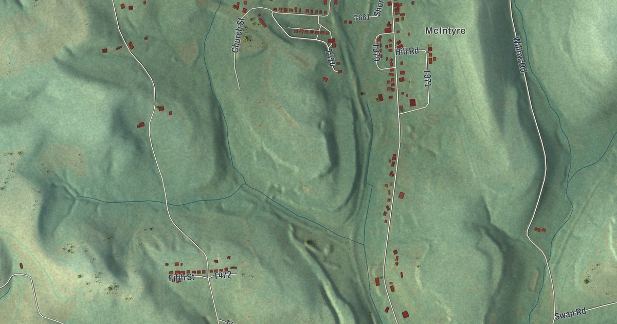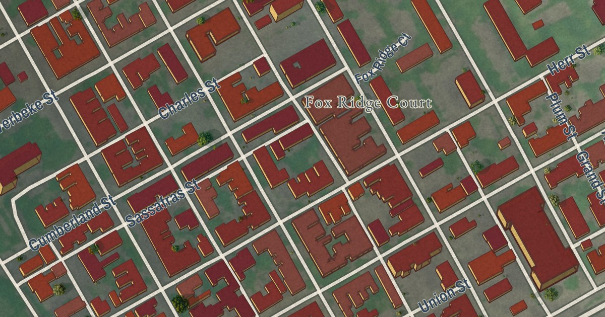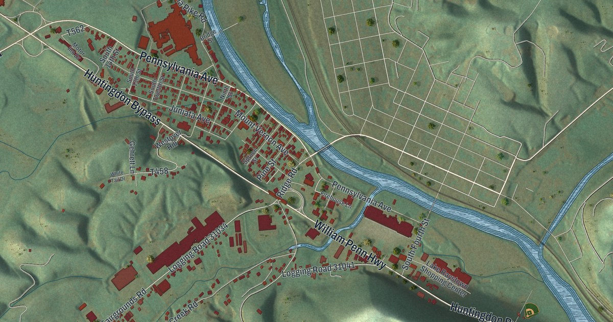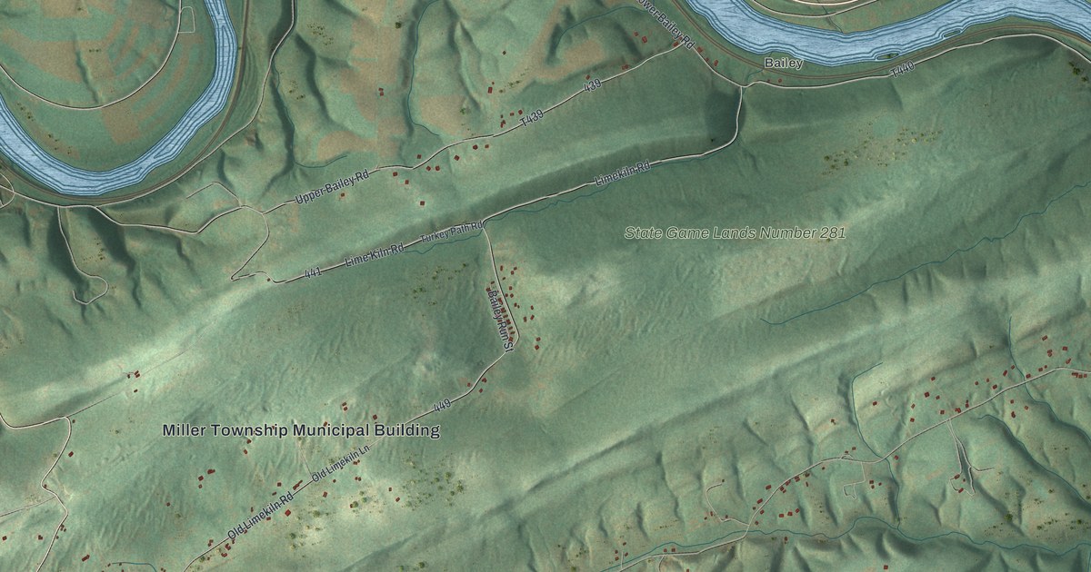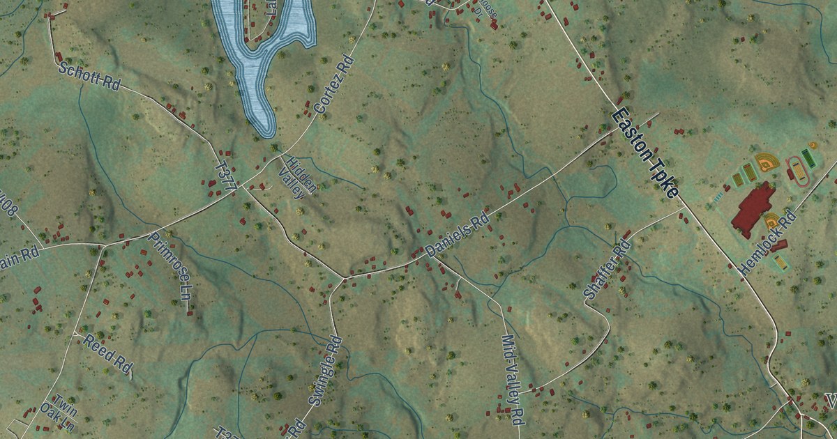
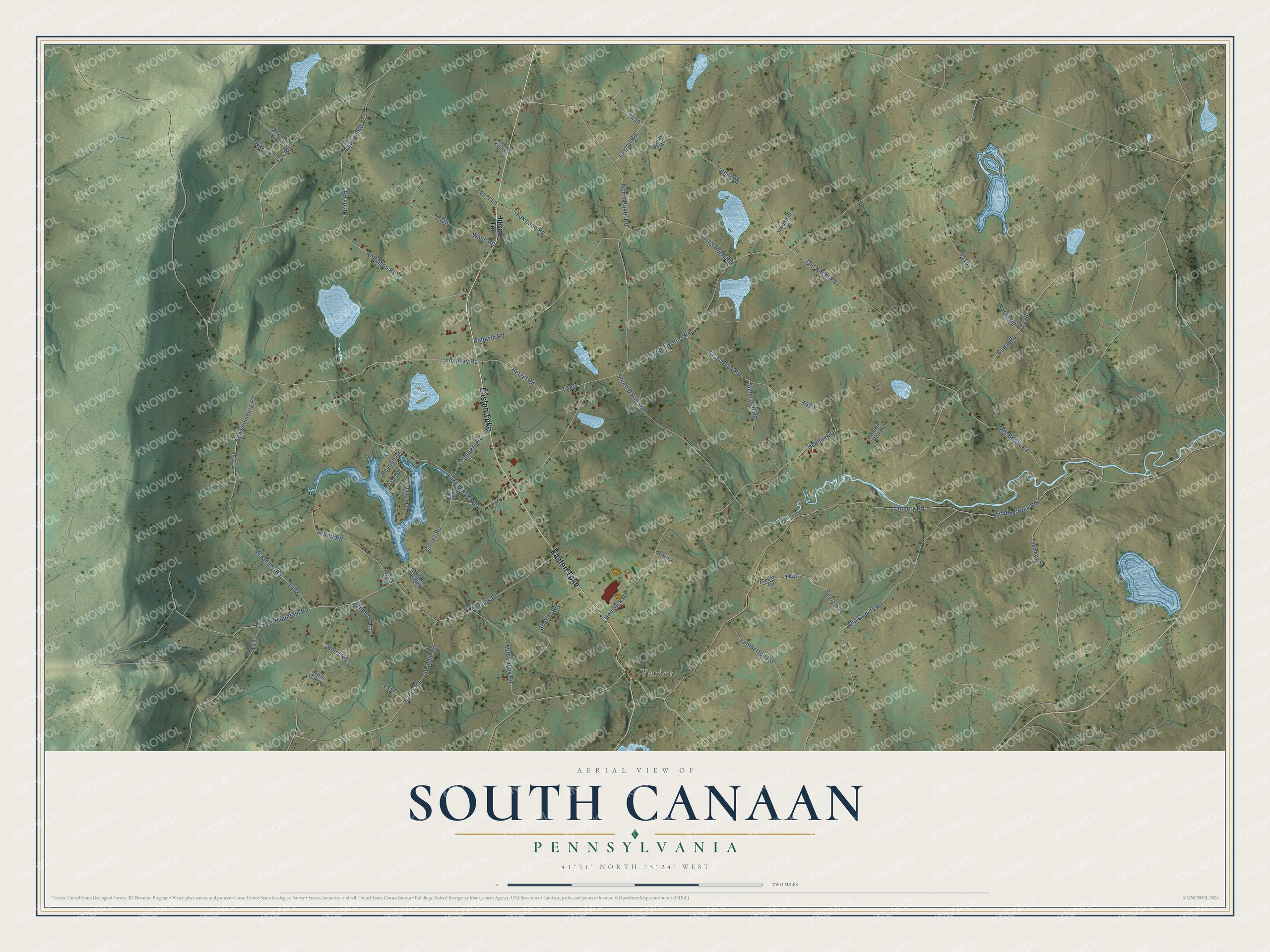
This beautifully detailed map of South Canaan, Pennsylvania was created in 2026 using aerial imagery combined with modern topographical, census, street and landmark data. It’s a one-of-a-kind view of South Canaan that combines accurate data with a vintage aesthetic. The map shows every building in its true location, many of the roads carry their names, and the shaded topographic relief shows the shape of the land.
Explore an aerial view of South Canaan, Pennsylvania
On the map you’ll find Varden and T-428, along with Hillside Terrace, Easton Turnpike, Middle Creek Road, Tannery Road, Robinson Road, Saint Tikhons Road, Jubinsky Road, Schweinsburg Road, and more. If you look closely you can even find your house accurately drawn in its correct location. Zoom in on the preview to look for yours.
Did you know this piece of South Canaan, Pennsylvania history?
From the 1886 History of Wayne, Pike, and Monroe counties, Pennsylvania: "A large slice of the northern section was then set off as Clinton, in 1834, Waymart was constituted a borough in 1851, and the next year, the Court of Quarter Sessions divided the remaining territory into two townships, the new one being called South Canaan."
Take a closer look at the South Canaan map
Street and place names on the South Canaan, Pennsylvania map
These names are printed on the map of South Canaan, Pennsylvania.
Places: Varden.
Streets and roads: Easton Turnpike, Middle Creek Road, Tannery Road, Robinson Road, Saint Tikhons Road, Jubinsky Road, Schweinsburg Road, T-428, Old Racht Road, Layton Road, Hemlock Road, Cortez Road.
More street names, A to Z
Baldwin Road, Barbie Doll Avenue, Beynon Drive, Billie Joe Road, Camp Road, Canaan Road, Cemetery Road, Curtis Pond Road, Daniels Road, Dazel Drive, Faller Road, Fox Lane Road, Fox Road, Gillette Road, Halawasa Lane, Hemlock Drive, Hetzel Road, Hidden Valley, Hillside Terrace, Hinds Road, Knobby Knoll Lane, Lake Quinn Road, Lake Shore Drive, Lamberton Road, Lever Lane, McKinney Road, Mid-Valley Road, Mill Brook Road, Miller Road, Moose Drive, Mountain Road, North Baker Road, Oak Lane, Old Gravity Road, Primrose Lane, Racht Road, Reed Road, Salem View Drive, Schott Road, Seeley Road, Seely Road, Shaffer Road, South Baker Road, Stove Pipe Road, Swingle Road, Theobold Road, Tuthill Road, Twin Oak Lane, Wash Road, Woodbine Drive.
See the South Canaan, Pennsylvania map on a wall
The South Canaan map as an 18 x 24 inch print in a black frame.

This beautifully detailed map of South Canaan makes an attractive addition to your office, library, or den, and it can even be used to teach children the geography and history of the area. It also makes a great gift for anyone with South Canaan roots. When you’re done exploring, click here to get your copy of the South Canaan map.