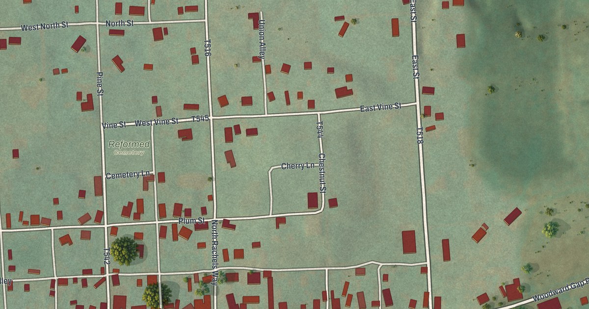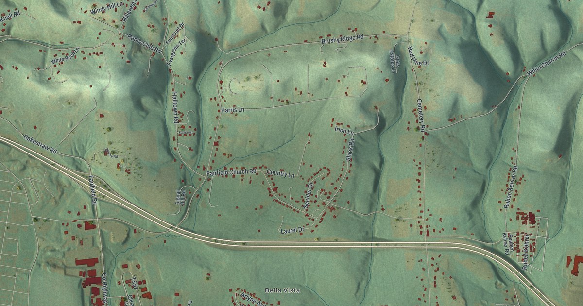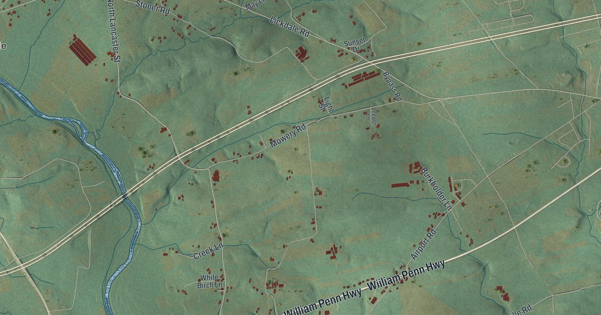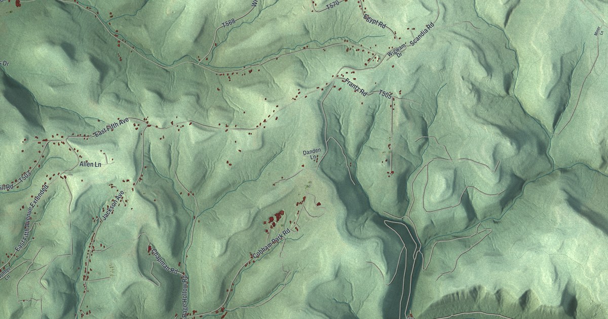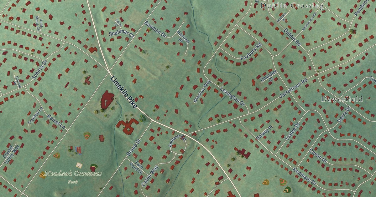
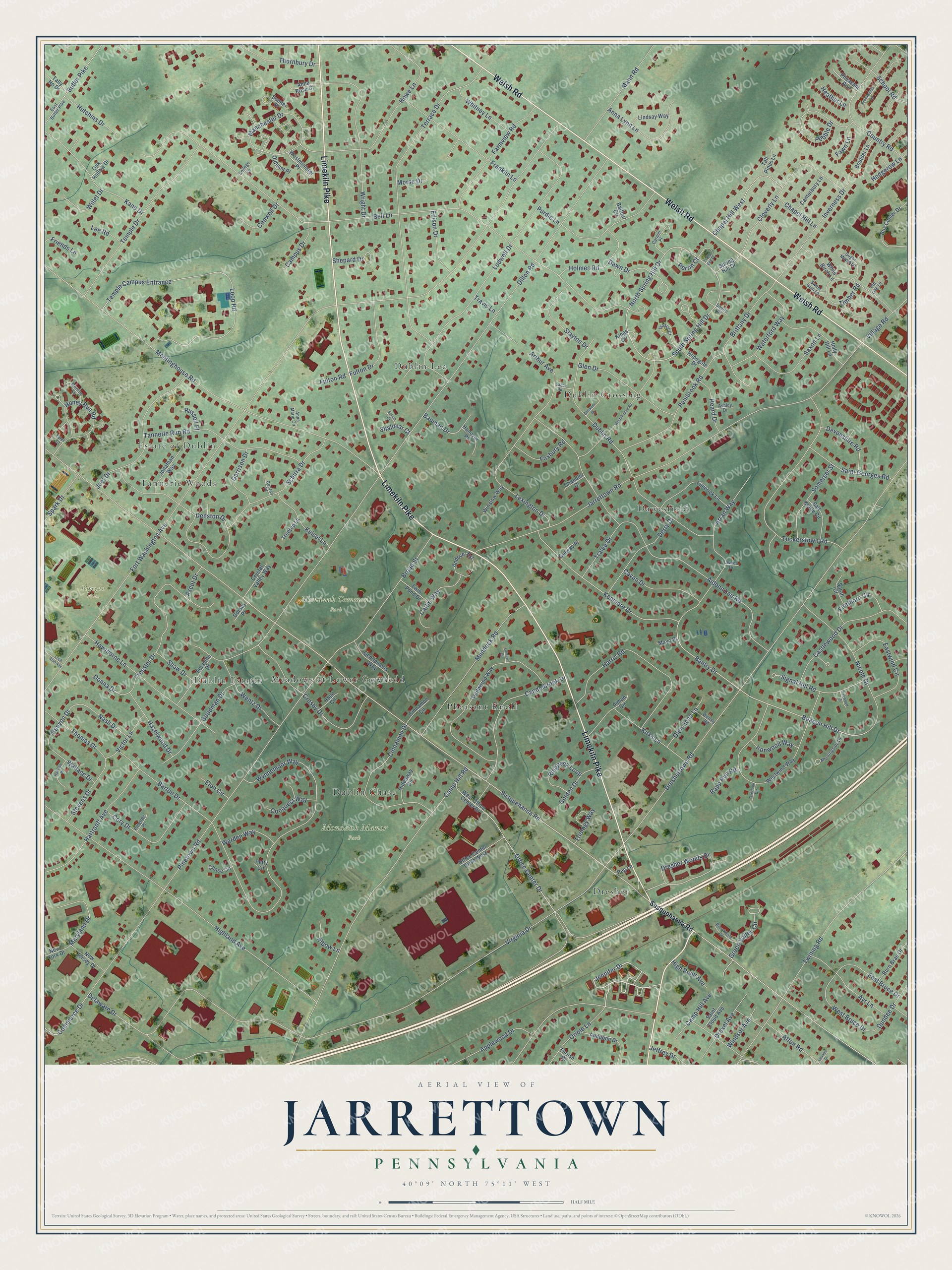
This beautifully detailed map of Jarrettown, Pennsylvania was created in 2026 using aerial imagery combined with modern topographical, census, street and landmark data. It’s a one-of-a-kind view of Jarrettown that combines accurate data with a vintage aesthetic. The map shows every building in its true location, many of the roads carry their names, and the shaded topographic relief shows the shape of the land.
Explore an aerial view of Jarrettown, Pennsylvania
On the map you’ll find Mondauk Commons Park, Mondauk Manor Park, Bopegan Farm, Dublin Crossing, Estate of Dublin, Dublin Lea, Dawesfield, Pheasant Knoll, Dublin Estates, Meadows at Lower Gwynedd, Dublin Chase, Tannerie Woods, and more. If you look closely you can even find your house accurately drawn in its correct location. Zoom in on the preview to look for yours.
Did You Know?
From Internet Archive: "A post-office was established here in 1832, and the township elections held here from 1840 until after 1856; both have since been removed to the more flourishing village of Jarrettown."
Jarrettown is a community in Montgomery County.
Take a closer look at the Jarrettown map
Names on this map
These names are printed on this map.
Places: Mondauk Commons Park, Mondauk Manor Park, Bopegan Farm, Dublin Crossing, Estate of Dublin, Dublin Lea, Dawesfield, Pheasant Knoll, Dublin Estates, Meadows at Lower Gwynedd, Dublin Chase, Tannerie Woods and Dresher.
Streets and roads: Limekiln Pike, Welsh Road, Jennifer Drive, Susquehanna Road, Beacon Hill Drive, Bantry Drive, North Spring Hill Drive, South Spring Hill Drive, Loop Road, Dresher Woods Drive, Kenmare Drive, Kenyon Drive.
More street names, A to Z
Afton Road, Aidenn Lair Road, Aiman Circle, Andover Est, Anna Lynn Lane, Anna Marie Circle, Anna Rose Court, Applewood Drive, Arran Way, Arthur Avenue, Ascot Drive, Ashley Drive, Audubon Drive, Avoca Drive, Ayr Lane, Balfour Circle, Barton Drive, Bauman Drive, Bell Lane, Boulder Lane, Brittany Drive, Broad Street, Brookdale Court, Brownstone Lane, Burn Brae Drive, Bus Center Drive, Butler Pike, Cabot Road, Camp Hill Avenue, Camp Hill Road, Campus Drive, Candlebrook Drive, Canterbury Lane, Carmel Place, Castlewood Drive, Catlin Way, Cavan Drive, Chandler Court, Chapel Hill Lane, Chapel Hill West, Chase Circle, Cinnamon Circle, Cinnamon Drive, Cloverly Lane, College Lane, Commerce Drive, Conquest Way, Conrad Place, Conwell Drive, Cory Drive, Country Road, Crosby Drive, Crystal Valley Way, Dawn Drive, Delaware Drive, Denston Drive, Derry Drive, Devonshire Road, Dillon Road, Donna Drive, Dorsey Place, Dreshertown Road, Drexel Avenue, Dublin Road, Dundee Drive, East Bruce Drive, East Butler Pike, Eastwind Circle, Edison Drive, Elbow Lane, Elon Circle, Farmview Road, Fawn Lane, Firethorn Circle, Forsythe Drive, Fort Washington Avenue, Foxbury Road, Franklin Lane, Friends Lane, Fulton Drive, Fulton Road, Galway Place, Garrison Drive, Gentlemens Way, Glen Drive, Glen Echo Lane, Golden Drive, Goodman Drive, Green Valley Circle, Grissom Place, Haddon Place, Hanover Place, Harris Road, Hartranft Avenue, Hawthorne Lane, Hazelwood Drive, Heard Drive, Heather Lane, Hedgerow Lane, Hideaway Circle, Highland Avenue, High Point Avenue, Holly Hill Lane, Holmes Road, Honey Run Road, Hope Circle, Hopegate Drive, Howe Lane, Hutchins Drive, Inverness Drive, Ironwood Way, Isaacs Court, Jarrettown Road, Jeffrey Drive, Joel Drive, Jonathan Way, Kane Drive, Keisel Lane, Kings Circle, Kirks Lane, Lantern Circle, Lee Road, Lenape Drive, Lexington Drive, Limerick Lane, Lindsay Way, Loch Alsh Avenue, Ludwell Drive, Manchester Drive, Mann Road, Maryland Drive, Mayo Place, Meetinghouse Road, Monroe Lane, Morningside Drive, Morse Drive, Mundock Road, Nash Drive, New Jersey Drive, New York Drive, Nicole Drive, Oak Hollow Drive, Oakwood Drive, Office Center Drive, Office Center Drive West, Oldham Place, Oriole Lane, Overlook Circle, Pebble Drive, Peg Lane, Pembrook Road, Perrin Court, Petty Circle, Pheasant Run, Pinetown Road, Pinetree Place, Pin Oak Lane, Purdie Lane, Rapp Run Road, Ringneck Loop, Russell Place, Saint Cloud Avenue, Saint Georges Road, Saljon Court, Salt Kettle Circle, Sarah Court, Saxon Lane, Schirra Drive, School Road, Shalimar Court, Shaw Drive, Shepard Drive, Signal Hill Road, Slayton Drive, Somerset Street, Southwind Way, Spark Drive, Spring Hill Drive, Squire Drive, Stevens Drive, Sugar Maple Lane, Sumter Place, Sweet Gum Lane, Tall Pines Lane, Tally Ho Drive, Tannerie Run Road, Temple Campus Entrance, Temple Drive, Terrace Drive, Thomas Drive, Thornbury Drive, Thrush Drive, Timber Road, Trails End Place, Tralee Drive, Travis Lane, Treetop Lane, Tressler Drive, Triology Way, Tuckerstown Road, Twining Road, Twin Pond Drive, Tyler Court, Victor Lane, Village Road, Virginia Drive, Wallace Drive, Warden Way, Waterford Way, Wellsly Road, Wentz Drive, West Bruce Drive, Westminister Place, West Office Center Drive, Westwind Way, White Birch Lane, Whitehouse Road, Whitney Lane, Willet Drive, Windsor Avenue, Winslow Way, Wright Drive, Wynnemoor Way.
See it on a wall
The Jarrettown map as a framed print. Swipe for more.


This beautifully detailed map of Jarrettown makes an attractive addition to your office, library, or den, and it can even be used to teach children the geography and history of the area. It also makes a great gift for someone who left Jarrettown and still calls it home. When you’re done exploring, click here to get your copy of the Jarrettown map.