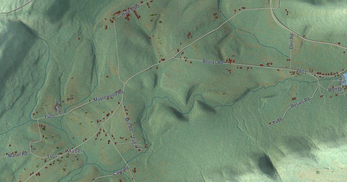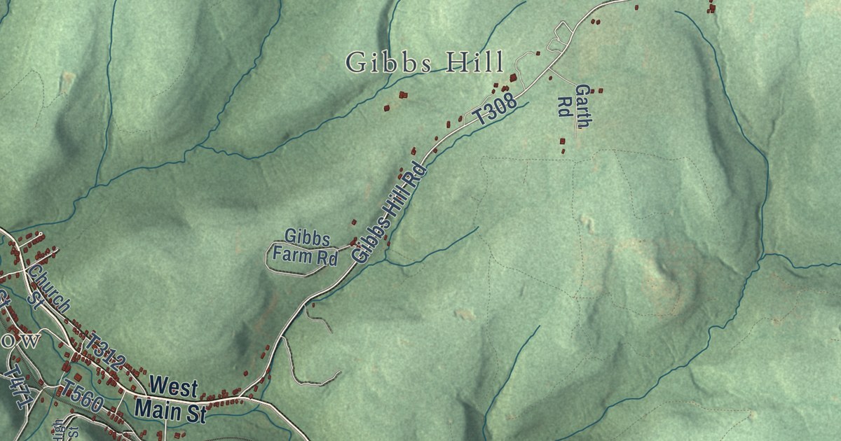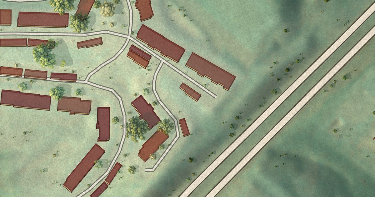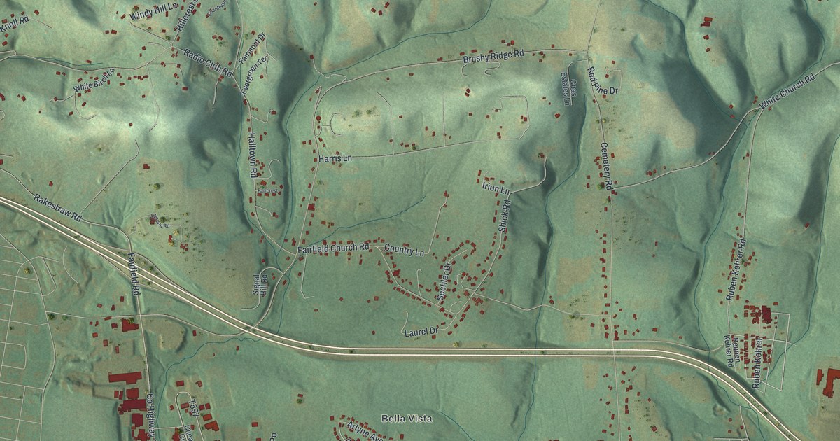
This beautifully detailed map of Fairfield, Lycoming County, Pennsylvania was created in 2026 using aerial imagery combined with modern topographical, census, street and landmark data. It’s a one-of-a-kind view of Fairfield that combines accurate data with a vintage aesthetic. The map shows every building in its true location, many of the roads carry their names, and the shaded topographic relief shows the shape of the land.
Explore an aerial view of Fairfield, Lycoming County, Pennsylvania
On the map you’ll find Bella Vista and Twin Hills Memorial Park, along with Ruben Kehrer Road, Mall Road, Radio Club Road, Confair Parkway, Rakestraw Road, Lycoming Mall Road, Quaker State Road, Lycoming Mall Drive, Brushy Ridge Road, and more. If you look closely you can even find your house accurately drawn in its correct location. Zoom in on the preview to look for yours.
Did you know this piece of Fairfield, Lycoming County, Pennsylvania history?
From the History of Lycoming County: "Strong opposition was made to the proposed division by the upper part of the township, but the court over-ruled the exceptions that had been filed and directed the township to be organized and called Pollock, in honor of Hon. James Pollock, who was then president judge, whilst the lower part was to remain as Fairfield township."
Take a closer look at the Fairfield, Lycoming County map
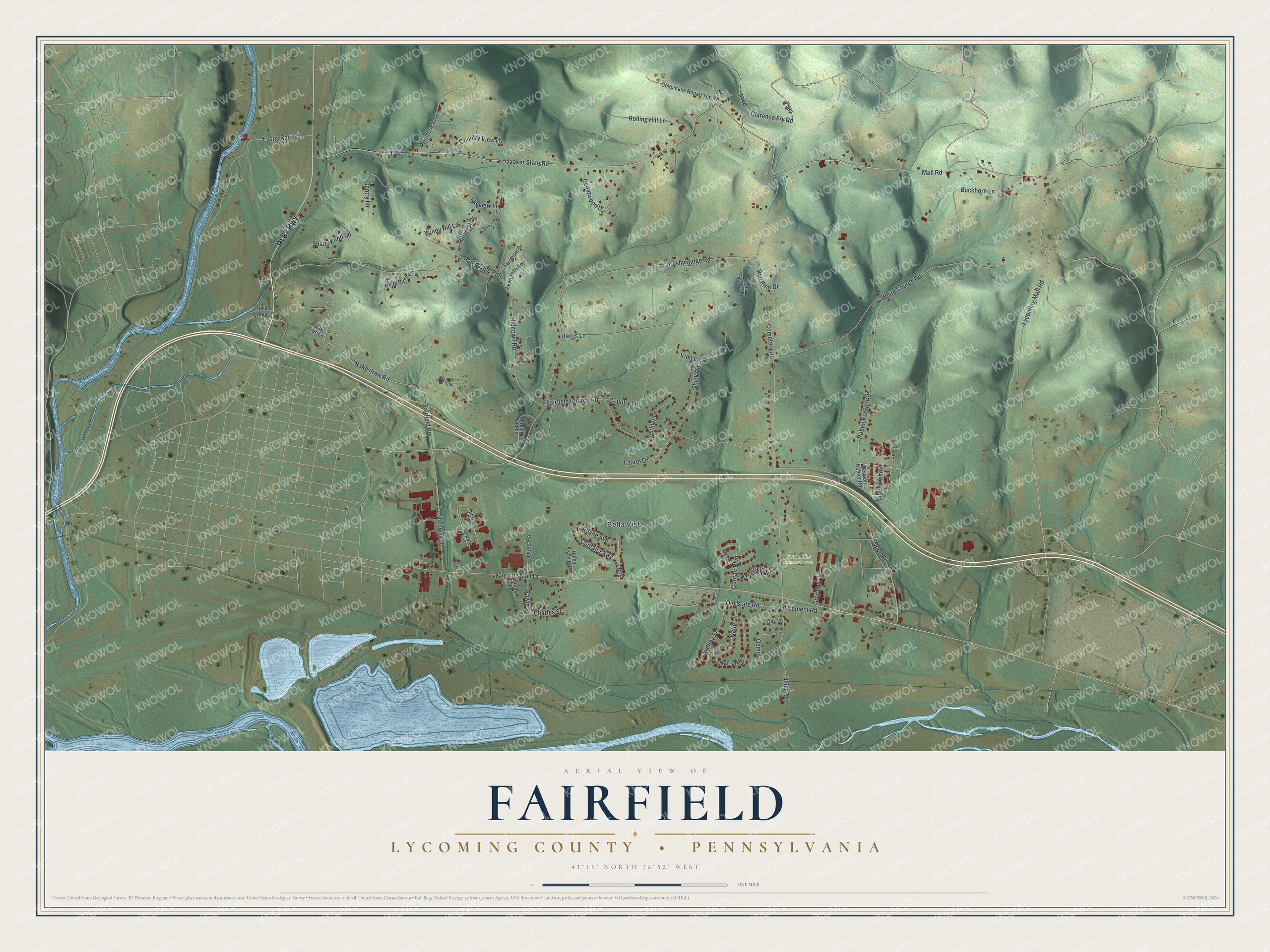
Street and place names on the Fairfield, Lycoming County, Pennsylvania map
These names are printed on the map of Fairfield, Lycoming County, Pennsylvania.
Places: Bella Vista and Twin Hills Memorial Park.
Streets and roads: Rt 87 Highway, Ruben Kehrer Road, Mall Road, Radio Club Road, Confair Parkway, Rakestraw Road, Lycoming Mall Road, Quaker State Road, Lycoming Mall Drive, Brushy Ridge Road, Cemetery Road, White Church Road.
More street names, A to Z
Anns Lane, Arlyne Avenue, Buckhorn Lane, Cedarwood Drive, Chapmans Round Top Road, Charles Street, Choate Circle, Clarence Fry Road, Confair Boulevard, Country Lane, Countryside Lane, Country View Lane, County Highway 18, Evergreen Terrace, Faircrest, Fairfield Church Road, Fairfield Road, Fairmont Drive, Gemini Lane, Gentry Lane, Goas Estates Lane, Grey Fox Drive, Hales Lyon Road, Halltown Road, Hampton Way, Harris Lane, Hillcrest Drive, Hiller Road, Irion Lane, Katie Lane, Laurel Drive, Laurens Road, Lyons Barr Road, Mill Creek Lane, Oak Lane, Oak Tree Lane, Odell Road, Old Cement Road, Old State Road, Pierce Lane, Primrose Lane, Ques Po, Rawle Street, Red Pine Drive, Reuben Kehrer Road, Rolling Hill Lane, Ruben Kehrer, Sechler Drive, Shady Knoll Road, Shick Road, Signal Hill Road, Skyview Lane, Sydney Street, Warren Street, White Birch Lane, Windy Hill Lane, Woodland Court.
See the Fairfield, Lycoming County, Pennsylvania map on a wall
The Fairfield, Lycoming County map as an 18 x 24 inch print in a black frame.

This beautifully detailed map of Fairfield, Lycoming County makes an attractive addition to your office, library, or den, and it can even be used to teach children the geography and history of the area. It also makes a great gift for someone who left Fairfield and still calls it home. When you’re done exploring, click here to get your copy of the Fairfield, Lycoming County map.