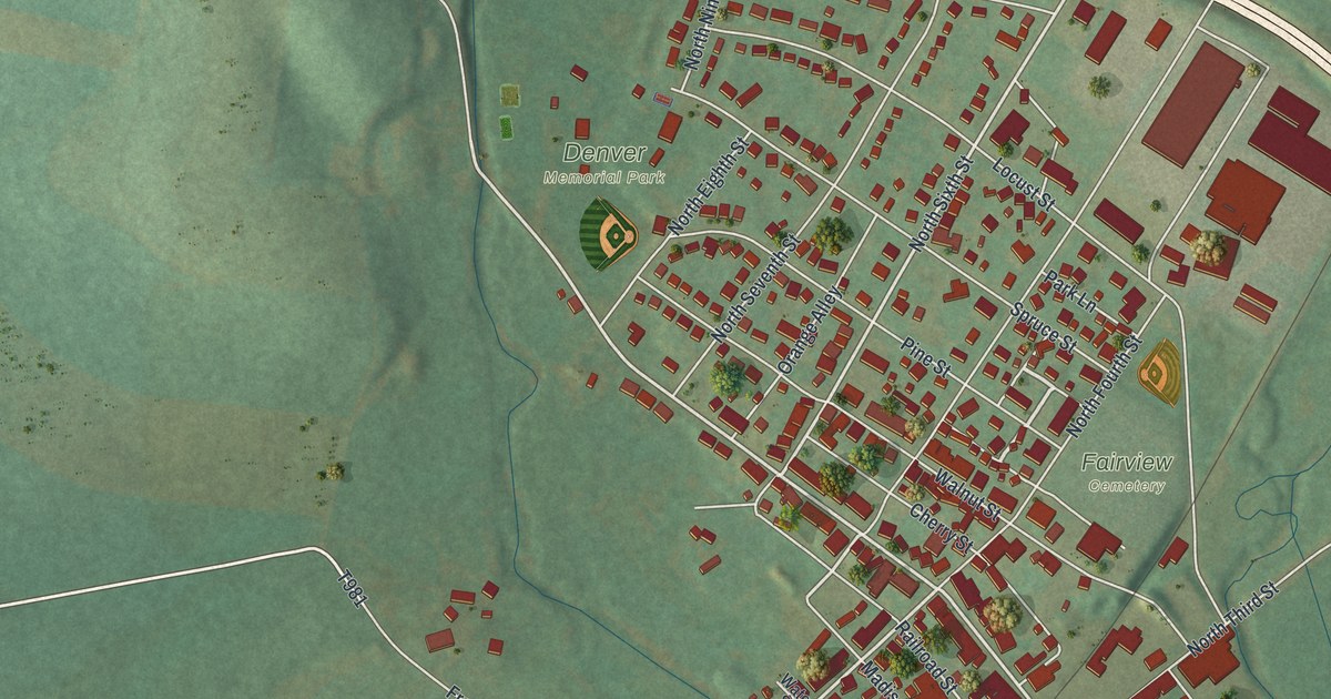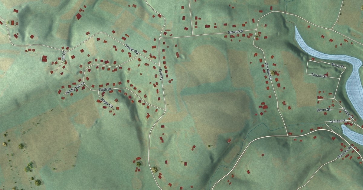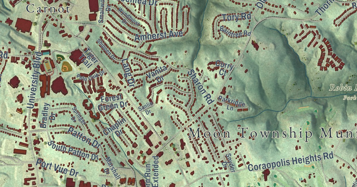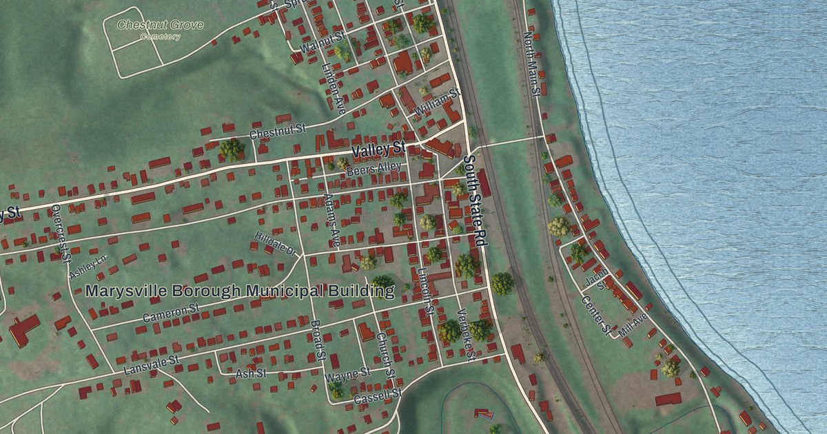
This beautifully detailed map of Marysville, Pennsylvania was created in 2026 using aerial imagery combined with modern topographical, census, street and landmark data. It’s a one-of-a-kind view of Marysville that combines accurate data with a vintage aesthetic. The map shows every building in its true location, many of the roads carry their names, and the shaded topographic relief shows the shape of the land.
Explore an aerial view of Marysville, Pennsylvania
On the map you’ll find Marysville Borough Municipal Building, Hamer Woodlands at Cove Mountain Preserve, Lions Park, and Chestnut Grove Cemetery, along with South State Road, State Road, Valley Street, Kings Highway, New Valley Road, Myrtle Avenue, Caroline Drive, Walnut Street, and more. If you look closely you can even find your house accurately drawn in its correct location. Zoom in on the preview to look for yours.
Did you know this piece of Marysville, Pennsylvania history?
Marysville sits at the western end of the Rockville Bridge, the longest stone arch railroad viaduct ever built. The bridge stretches 3,820 feet across the Susquehanna River on 48 arched spans. The Pennsylvania Railroad finished it in 1902, and Norfolk Southern and Amtrak trains still use it.
Take a closer look at the Marysville map
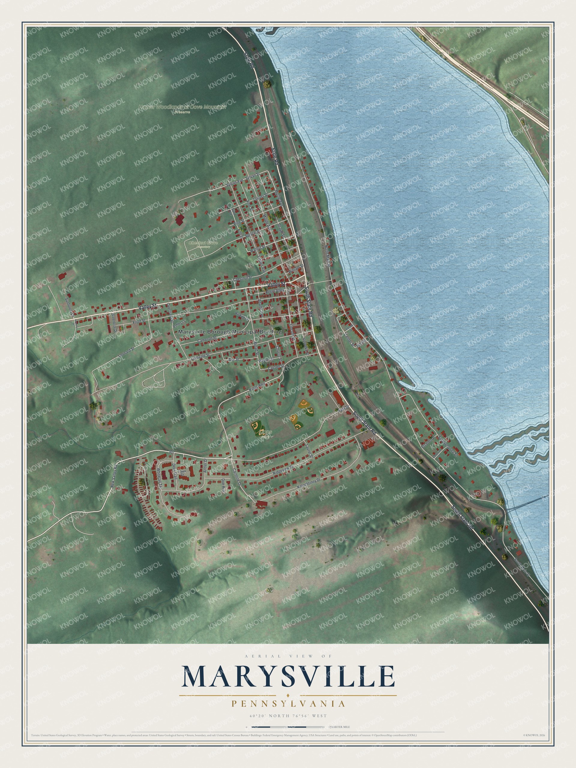
Street and place names on the Marysville, Pennsylvania map
These names are printed on the map of Marysville, Pennsylvania.
Places: Marysville Borough Municipal Building, Hamer Woodlands at Cove Mountain Preserve, Lions Park and Chestnut Grove Cemetery.
Streets and roads: South State Road, State Road, Valley Street, Kings Highway, New Valley Road, Myrtle Avenue, Caroline Drive, Walnut Street, South Main Street, Center Street, Lansvale Street, Front Street.
More street names, A to Z
Adams Avenue, Antler Drive, Ashley Lane, Ash Street, Beers Alley, Broad Street, Cameron Street, Cassell Street, Catherine Street, Chestnut Street, Church Street, Deer Trail, Doe Run, Elizabeth Street, Fawn Court, Fifth Street, Grape Street, Greenbriar Drive, Harmony Drive, Hilldale Drive, Jacob Street, Kittochtinny Drive, Laurel Street, Leonard Street, Lincoln Street, Linden Avenue, Locust Street, Maple Avenue, Mill Avenue, North Main Street, Overcrest Street, Park Drive, Pine Street, Ridgeview Drive, Sand Avenue, Spruce Street, Sunforest Drive, Susquehanna Street, Sylvan Avenue, Sylvan Street, Verbeke Street, Vine Street, Wayne Street, Whitetail Terrace, William Street.
See the Marysville, Pennsylvania map on a wall
The Marysville map as an 18 x 24 inch print in a black frame.

This beautifully detailed map of Marysville makes an attractive addition to your office, library, or den, and it can even be used to teach children the geography and history of the area. It also makes a great gift for anyone with Marysville roots. When you’re done exploring, click here to get your copy of the Marysville map.