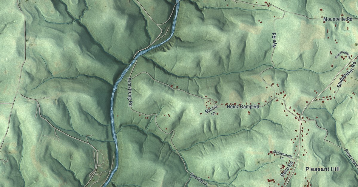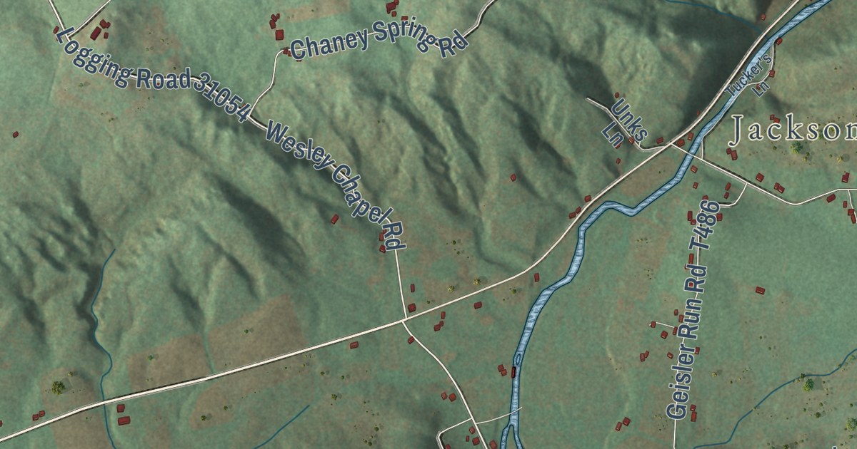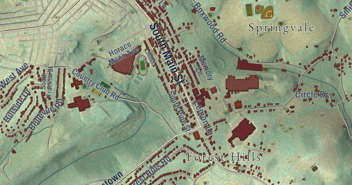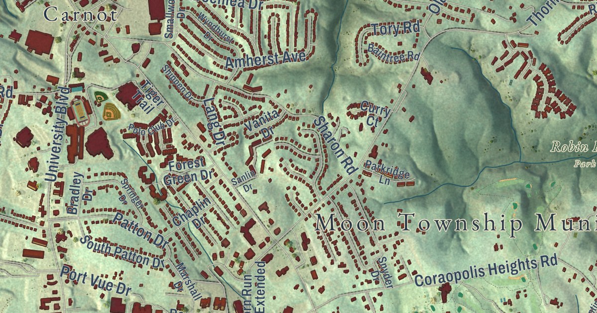
This beautifully detailed map of Moon, Pennsylvania was created in 2026 using aerial imagery combined with modern topographical, census, street and landmark data. It’s a one-of-a-kind view of Moon that combines accurate data with a vintage aesthetic. The map shows every building in its true location, many of the roads carry their names, and the shaded topographic relief shows the shape of the land.
Explore an aerial view of Moon, Pennsylvania
On the map you’ll find Moon Township Municipal Building, Montour Woods Conservation Area, Moon Park, Olson Park, Robin Hill Park, Bon Meade, Carnot, Moon Crest, and Stoops Ferry, along with University Boulevard, Stoops Ferry Road, Defense Avenue, and more. If you look closely you can even find your house accurately drawn in its correct location. Zoom in on the preview to look for yours.
Did you know this piece of Moon, Pennsylvania history?
From the 1889 History of Allegheny county, Pennsylvania: "Hooper was a tanner and farmer, and one of the first settlers in Washington county; also one of the first settlers in Moon township. He took up six hundred acres of land here, then sent for an old friend, who had come from Scotland, and sold him 160 acres, so as to have him for a neighbor."
Take a closer look at the Moon map
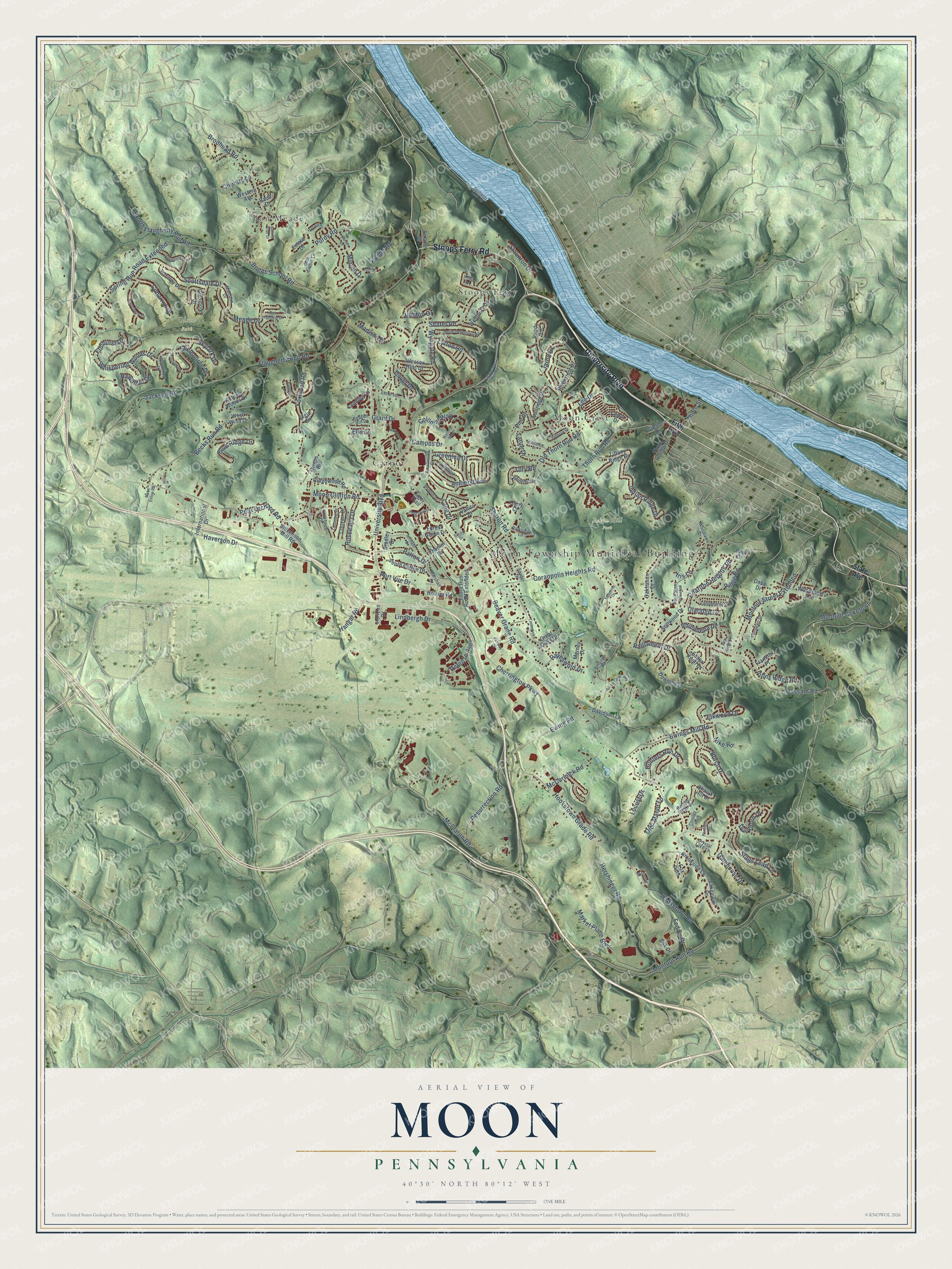
Street and place names on the Moon, Pennsylvania map
These names are printed on the map of Moon, Pennsylvania.
Places: Moon Township Municipal Building, Moon Park, Olson Park, Robin Hill Park, Stoops Ferry, Bon Meade, Moon Crest and Carnot.
Streets and roads: University Boulevard, Stoops Ferry Road, Hangar Road, Montour Run Road, McClaren Road, Resurrection Road, Beaver Grade Road, Brodhead Road, Flaugherty Run Road, Moon Clinton Road, Thorn Run Road, Coraopolis Heights Road.
More street names, A to Z
Airlane Drive, Amherst Avenue, Arthur Drive, Autumn Woods Drive, Baintree Road, Barnes Drive, Baun Drive, Beacon Hill Drive, Becks Run Road, Beitsinger Road, Bertley Ridge Drive, Blue Ridge Drive, Boggs School Road, Bon Highland Drive, Bonnie Brae Drive, Bradley Drive, Brookside Lane, Burch Drive, Campus Drive, Cedar Drive, Chaplin Drive, Charlton Heights Road, Chaulk Hill Drive, Cherrington Parkway, Chimney Rock, Cimarron Drive, Claridge Drive, Colonial Way, Convair Drive, Country Lane, Crestview Drive, Crystal Lake Lane, Curry Court, Darnley Drive, Dashields Lock Road, Davidson Lane, Defense Avenue, Dobe Drive, Dover Drive, Downing Drive, Duckhorn Drive, Elgin Circle, Elkwood Drive, Elmhurst Drive, Elm Lane, Emerald Drive, Emma Lane, Essex Knoll Drive, Estate Drive, Evergreen Lane, Ewing Road, Ewings Mill Road, Fairway Drive, Fed Ex Drive, Fernvue Drive, Fifth Avenue, Forest Green Drive, Fox Path, Foxwood Road, Franklin Place, Gatehouse Drive, Gibson Drive, Glengarry Drive, Glenmore Drive, Grant Drive, Great Oaks Drive, Greenlea Drive, Gsk Drive, Harvest Court, Hassam Road, Haverson Drive, Hawthorn Drive, Hayeswold Drive, Heldon Drive, Hershinger Road, Hookstown Grade Road, Hookstown Road, Horizon Drive, Hunters Run Drive, Indian Ridge Drive, International Drive, Iris Lane, Jackson Road, Jarod Drive, Joe Denardo Way, Johns Ridge Road, Key Garden Drive, Konter Road, Kris Drive, Lakeview Drive, Landing Lane, Lang Drive, Lansdowne Drive, Larue Drive, Lee Drive, Lindbergh Drive, Lockheed Drive, Locust Drive, Lycoming Drive, Lytton Road, Madison Drive, Malcolm Drive, Maple Street Extended, Market Place Boulevard, Marney Drive, Marshall Drive, Massey Way, McCormick Road, Meade Drive, Minton Drive, Montclair, Montour Coketown, Montour Street Extended, Moon Enlow Road, Nike Road, North Flaugherty Run Road, North Jamestown Road, Oakhaven Drive, Olde Manor Lane, Olde Stable Lane, Old Narrows Run Road, Old Thorn Run Road, Owens Road, Park Drive, Parkridge Lane, Parliament Drive, Patton Drive, Pear Orchard Road, Penfolds Place, Philomena Drive, Pine Drive, Pococen Drive, Polo Club Drive, Port Vue Drive, Purdy Road, Ranchero Drive, Randy Lane, Ridge Road, Ridgewood Road, Rivercrest Drive, Rosemont Drive, Rouser Road, Sanlin Drive, Scottsdale Drive, Shafer Road, Sharon Road, Shelbourne Drive, Shippen Drive, Skylark Drive, Smallwood Drive, Snyder Drive, South Patton Drive, Springer Drive, Spring Run Road Extended, Stags Leap Lane, State Avenue, Staunton Drive, Stevenson Mill Road, Stillwood Drive, Thorn Hollow Drive, Thorn Run Road Extended, Thorn Street, Tiffany Ridge Drive, Tiger Trail, Timberyoke Drive, Tory Road, Turnwood Drive, Turnwood Lane, Valentine Drive, Vanita Drive, Wallridge Drive, Wessex Hills Drive, Westbury Drive, Western Avenue, West Wind Drive, Whispering Woods Drive, Woodcrest Avenue, Woodlawn Drive, Wyndhurst Drive, Wyngate Road.
See the Moon, Pennsylvania map on a wall
The Moon map as an 18 x 24 inch print in a black frame.

This beautifully detailed map of Moon makes an attractive addition to your office, library, or den, and it can even be used to teach children the geography and history of the area. It also makes a great gift for someone who left Moon and still calls it home. When you’re done exploring, click here to get your copy of the Moon map.