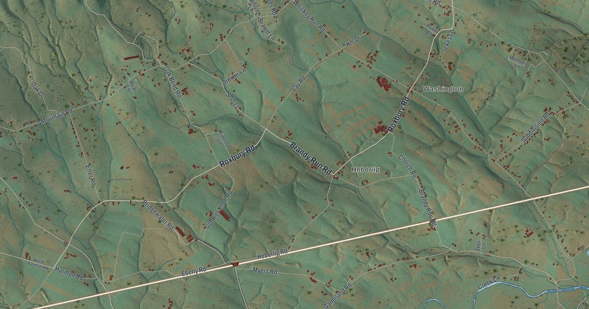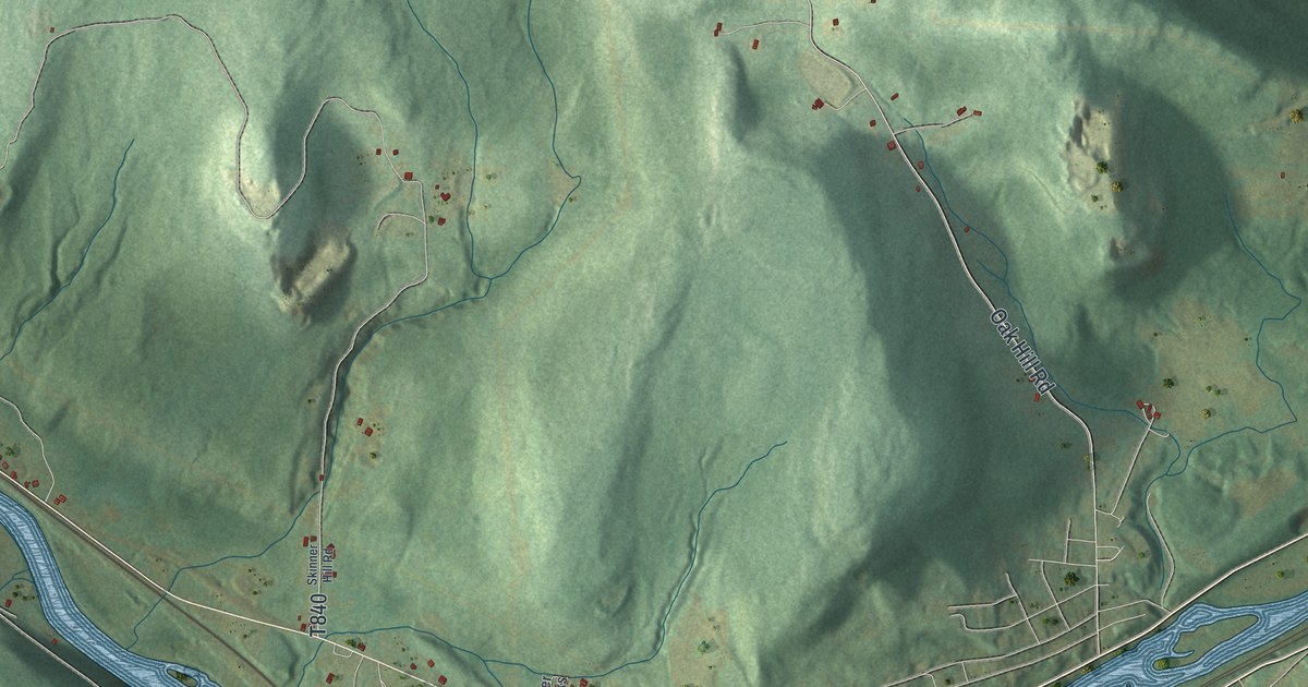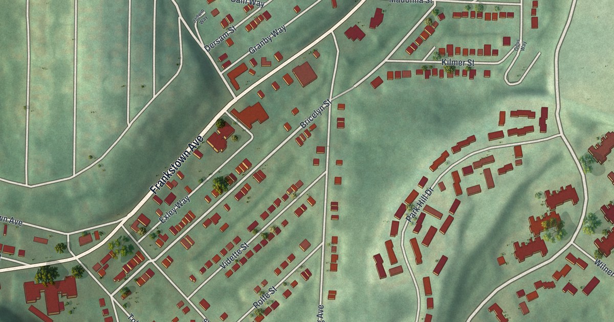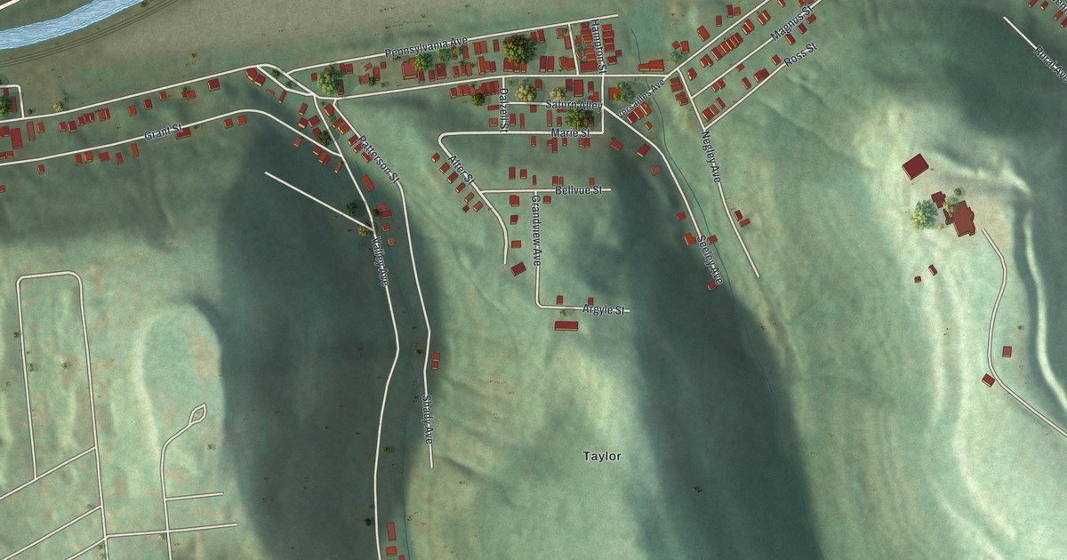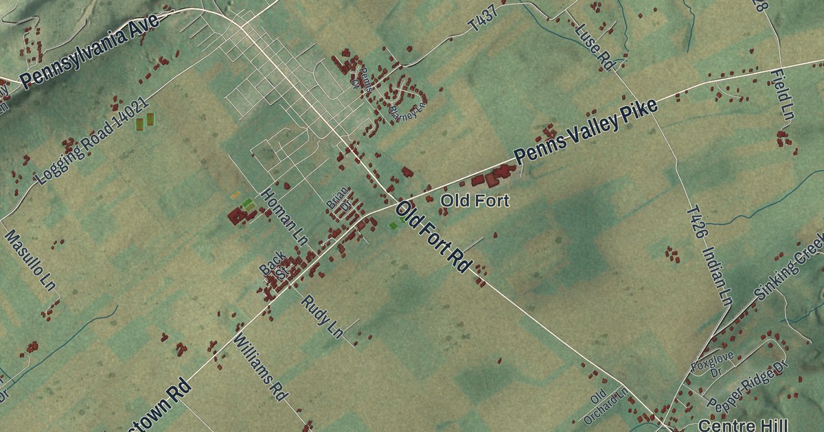
This beautifully detailed map of Potter, Centre County, Pennsylvania was created in 2026 using aerial imagery combined with modern topographical, census, street and landmark data. It’s a one-of-a-kind view of Potter that combines accurate data with a vintage aesthetic. The map shows every building in its true location, many of the roads carry their names, and the shaded topographic relief shows the shape of the land.
Explore an aerial view of Potter, Centre County, Pennsylvania
On the map you’ll find Bald Eagle State Forest, Rothrock State Forest, Centre Hill, Colyer, Fruittown, Old Fort, Potters Mills, Red Mill, and Tusseyville, along with Lower Brush Valley Road, General Potter Highway, Penns Valley Pike, and more. If you look closely you can even find your house accurately drawn in its correct location. Zoom in on the preview to look for yours.
Take a closer look at the Potter, Centre County map
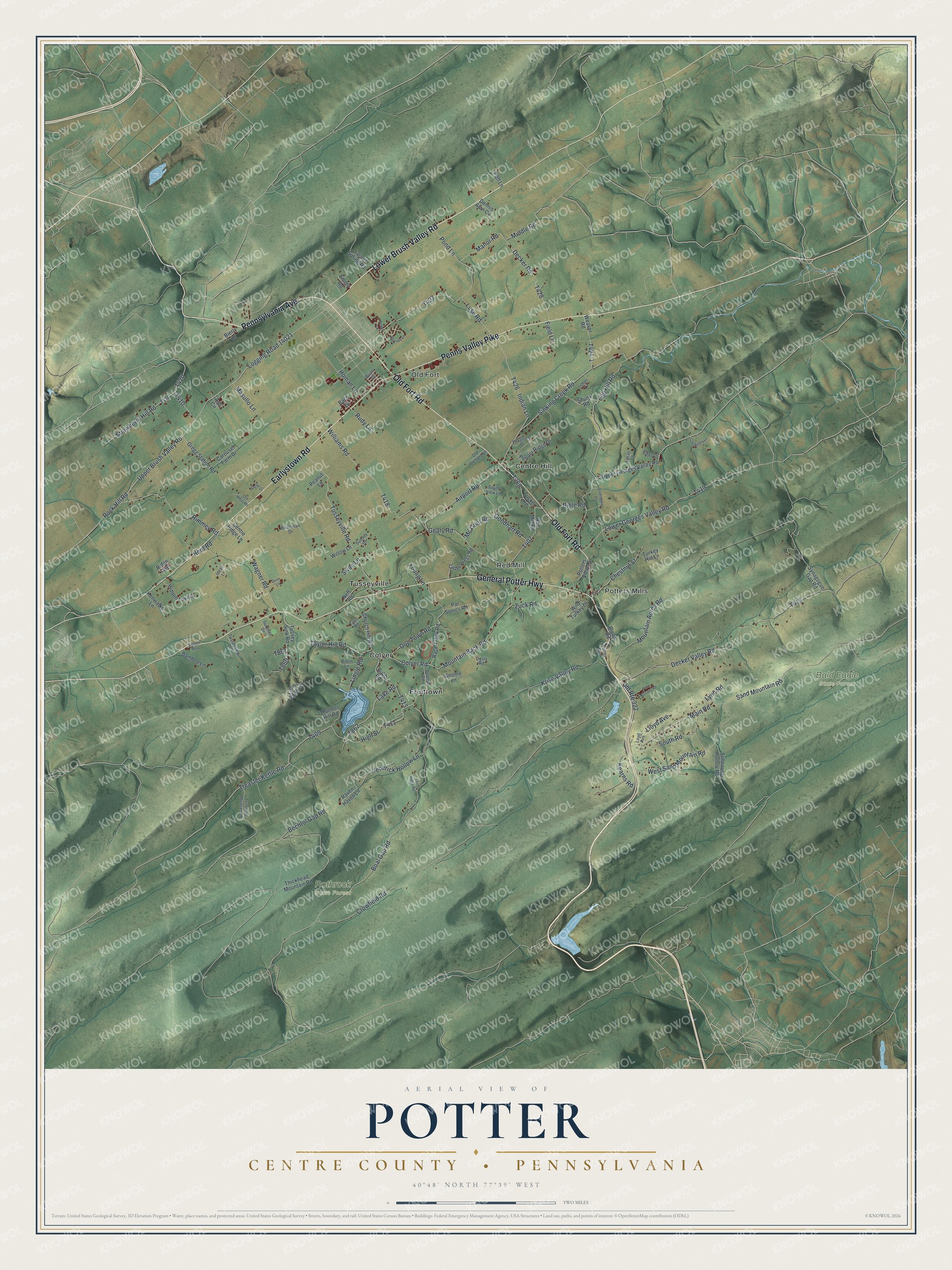
Street and place names on the Potter, Centre County, Pennsylvania map
These names are printed on the map of Potter, Centre County, Pennsylvania.
Places: Bald Eagle State Forest, Rothrock State Forest, Centre Hill, Colyer, Fruittown, Old Fort, Potters Mills, Red Mill and Tusseyville.
Streets and roads: Lower Brush Valley Road, General Potter Highway, Penns Valley Pike, Pennsylvania Avenue, Earlystown Road, Old Fort Road, High Street, Boal Gap Road, Lake Road, Old Route 322, Treaster Kettle Road, Logging Road 14021.
More street names, A to Z
Airport Road, Ash Circle, Asher Lane, Back Street, Bamboo Lane, Bechtol Gap Road, Bible Road, Bierly Lane, Blarney Lane, Bloom Road, Brian Drive, Bubb Road, Carousel Farm Drive, Centre Ridge Lane, Chemistry Lane, Chestnut Street, Church Hill Road, Cider Press Road, Colyer Road, Crowfield Road, Decker Road, Decker Valley Road, Dennis Alan Circle, Dog Town Road, Dottie Drive, Dove Lane, Dusty Road, Egg Hill Road, Emery Road, Fern Ridge Road, Field Lane, Foxglove Drive, Geary Road, Gnome Lane, Goodhart Road, Gregg Station Road, Hidden Lake Drive, Homan Lane, Hoot Road, Ideal Lane, Indian Lane, Ishler Lane, Kearns Road, Kenwalke Lane, Krise Valley Road, Laurel Spring Road, Lingle Road, Little Paint Lane, Lloyd Avenue, Lower Georges Valley Road, Loyd Avenue, Lucas Lane, Luse Road, Lynn Road, Main Road, Manor Road, Masullo Lane, Mc Cool Road, Middle Road, Mountain Acres Road, Mountain Back Road, Neff Road, Old Orchard Lane, Old Whity Road, Par Sonics Road, Peanut Lane, Penn Nursery Road, Penns Court, Pepper Ridge Drive, Polecat Road, Pond Lane, Potter Run, Potters View Lane, Puff Lane, Race Track Road, Raven Haven Lane, Red Mill Road, Ridge Avenue, Rimmey Road, Robin Lane, Rock Hill Road, Rudy Lane, Sand Mountain Road, Shunk Road, Sinking Creek Road, South Road, South View Lane, Stillhouse Hollow Road, Strawberry Hill Road, Studebaker Lane, Summer Drive, Summit Drive, Swan Lane, Synagogue Gap Road, Taylor Hill Road, Thickhead Mountain Road, Thunder Hill Road, Tucker Road, Turkey Hill Lane, Tussey Sink Road, Tusseyview Lane, Tusseyville Road, Tyler Road, Upper Brush Valley Road, Upper Georges Valley Road, Venerick Hollow Lane, Vernon Way, Wagner Road, Weaver Road, West Sand Mountain Road, Whiteman Drive, Wild Turkey Drive, Williams Road, Willow Lane, Young Lane, Zuck Road.
See the Potter, Centre County, Pennsylvania map on a wall
The Potter, Centre County map as an 18 x 24 inch print in a black frame.

This beautifully detailed map of Potter, Centre County makes an attractive addition to your office, library, or den, and it can even be used to teach children the geography and history of the area. It also makes a great gift for anyone with Potter roots. When you’re done exploring, click here to get your copy of the Potter, Centre County map.