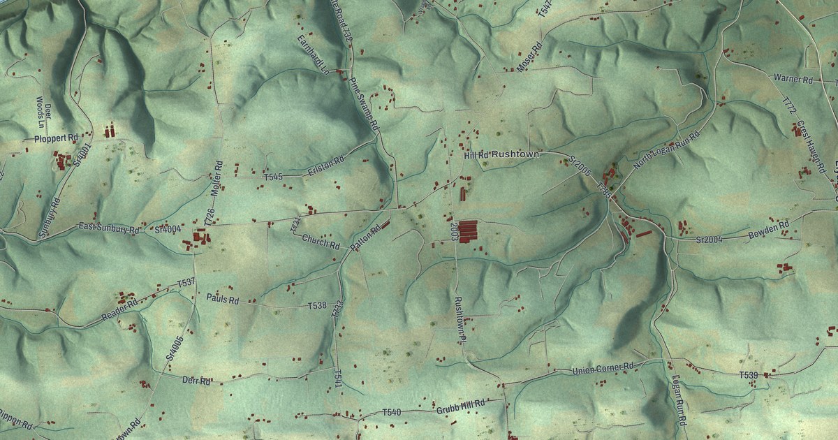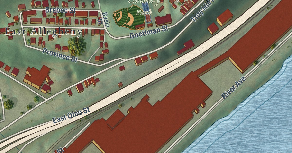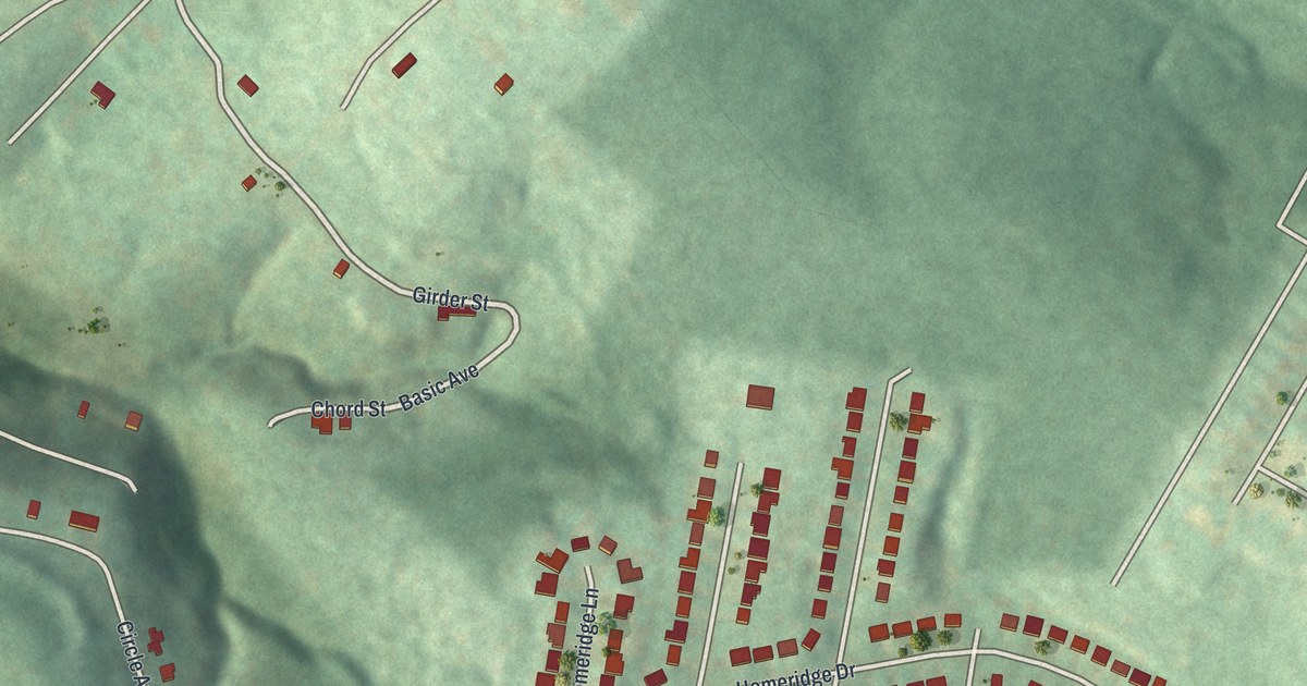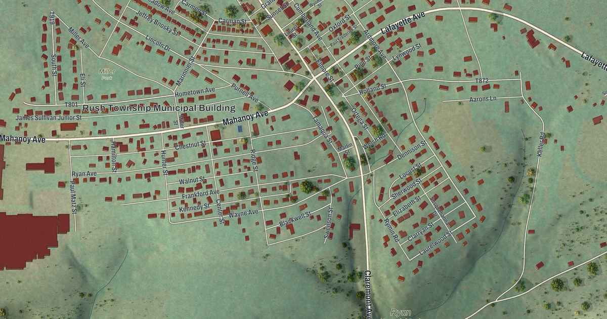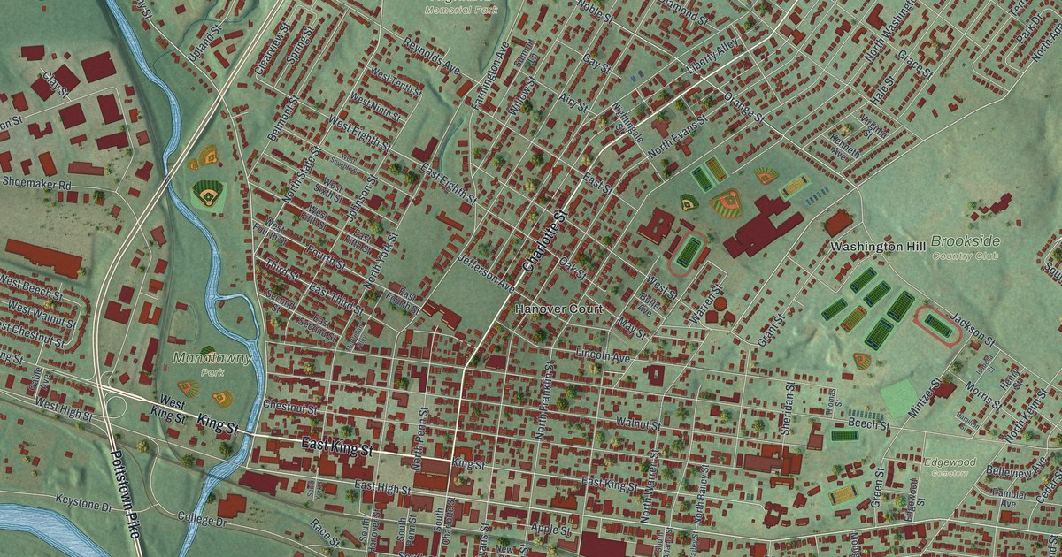
This beautifully detailed map of Pottstown, Pennsylvania was created in 2026 using aerial imagery combined with modern topographical, census, street and landmark data. It’s a one-of-a-kind view of Pottstown that combines accurate data with a vintage aesthetic. The map shows every building in its true location, many of the roads carry their names, and the shaded topographic relief shows the shape of the land.
Explore an aerial view of Pottstown, Pennsylvania
On the map you’ll find Brookside Country Club, Edgewood Cemetery, Highland Memorial Park, Manatawny Park, Riverfront Park, Glasgow, and Washington Hill, along with Hanover Court, King Street, East King Street, Charlotte Street, Pottstown Pike, and more. If you look closely you can even find your house accurately drawn in its correct location. Zoom in on the preview to look for yours.
Take a closer look at the Pottstown map
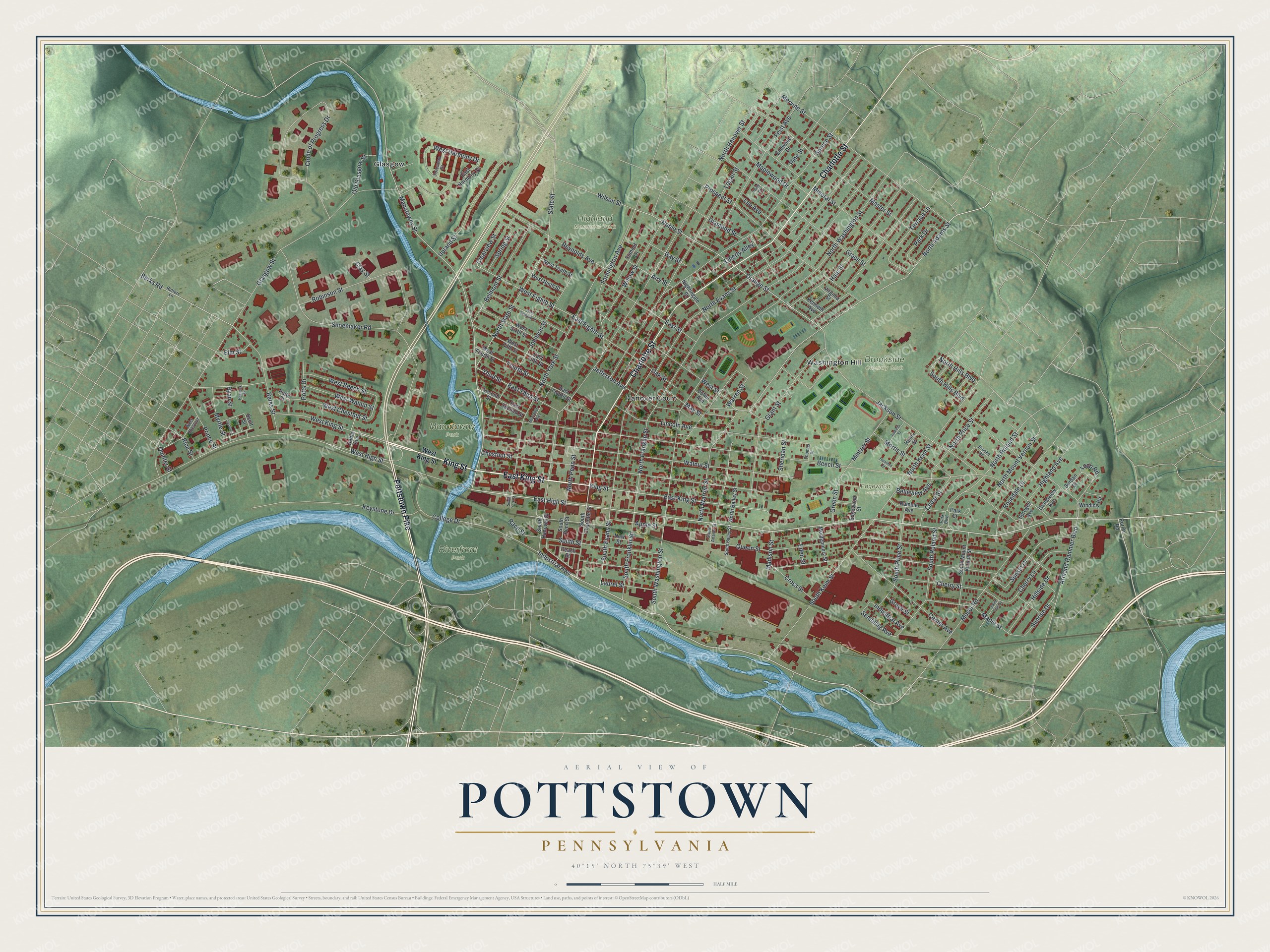
Street and place names on the Pottstown, Pennsylvania map
These names are printed on the map of Pottstown, Pennsylvania.
Places: Brookside Country Club, Edgewood Cemetery, Highland Memorial Park, Manatawny Park, Riverfront Park, Glasgow, Hanover Court and Washington Hill.
Streets and roads: King Street, East King Street, Charlotte Street, Pottstown Pike, East High Street, Industrial Highway, Manatawny Street, North Adams Street, West King Street, East Street, West Eighth Street, Jefferson Avenue.
More street names, A to Z
Airy Street, Apple Street, Armand Hammer Boulevard, Beech Street, Belleview Avenue, Belmont Street, Berks Road, Berks Street, Brooke Road, Burdan Drive, Butler Avenue, Cedar Street, Center Avenue, Cherry Lane, Cherry Street, Chestnut Street, Circle of Progress Drive, Clay Street, Clearview Street, College Drive, Cross Street, Custer Court, Diamond Street, East Eighth Street, East Fifth Street, East Fourth Street, East Harmony Drive, East Second Street, East Third Street, Eden Street, Edgewood Street, Elm Street, Elmwood Drive, Farmington Avenue, Feist Avenue, Foresman Drive, Fourth Street, Gable Avenue, Gay Street, Glasgow Street, Grace Street, Grandview Avenue, Grant Street, Green Street, Grove Street, Hale Street, Hamilton Street, Hemlock Street, Henry Street, Highland Avenue, Hillside Drive, Holly Court, Industrial Avenue, Isabella Street, Jackson Street, Johnson Street, Kenneth Avenue, Keystone Drive, Laurel Street, Lee Avenue, Liberty Alley, Lincoln Avenue, Logan Street, Loop Road, Madison Street, Maple Street, Maplewood Drive, Master Street, May Street, McClellan Alley, Mervine Street, Mineral Street, Mintzer Street, Montgomery Street, Morris Street, Moser Road, Myrtle Street, New Street, Nightingale Street, Noble Street, North Bailey Street, North Evans Street, North Franklin Street, North Hanover Street, North Hills Boulevard, North Keim Street, North Mount Vernon Street, North Penn Street, North Price Street, North Roland Street, North State Street, North Warren Street, North Washington Street, North York Street, Oak Street, Old Glasgow Street, Orange Street, Park Boulevard, Park Court, Park Drive, Peach Street, Pine Street, Porter Road, Potts Court, Potts Drive, Prince Street, Prospect Street, Queen Street, Quinter Street, Race Street, Rambler Avenue, Reynolds Avenue, Rice Street, Robinson Street, Rosedale Drive, Rutters Lane, Ryan Street, Saint Clair Street, Scott Street, Second Street, Sembling Avenue, Sheridan Street, Shoemaker Road, South Adams Street, South Bailey Street, South Charlotte Street, South Evans Street, South Franklin Street, South Hanover Street, South Hills Boulevard, South Keim Street, South Mount Vernon Street, South Penn Street, South Price Street, South Roland Street, South Street, South Washington Street, South York Street, Spring Street, Sprogell Avenue, Spruce Street, State Street, Summit Lane, Sunrise Drive, Sunset Drive, Terrace Lane, Third Street, Thomas Street, Upland Street, Virginia Street, Walnut Street, Warren Street, West Beech Street, West Chestnut, West Chestnut Street, West Fifth Street, West Fourth Street, West Harmony Drive, West High Street, West Ninth Street, West Seventh Street, West Sixth Street, West Street, West Tenth Street, West Walnut Street, Willow Street, Wilson Street, Winding Road.
See the Pottstown, Pennsylvania map on a wall
The Pottstown map as an 18 x 24 inch print in a black frame.

This beautifully detailed map of Pottstown makes an attractive addition to your office, library, or den, and it can even be used to teach children the geography and history of the area. It also makes a great gift for someone who left Pottstown and still calls it home. When you’re done exploring, click here to get your copy of the Pottstown map.