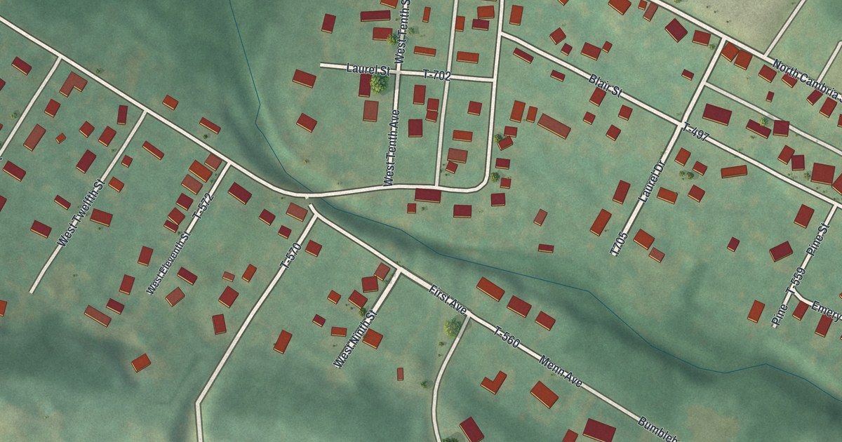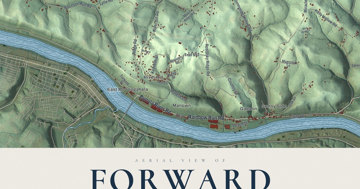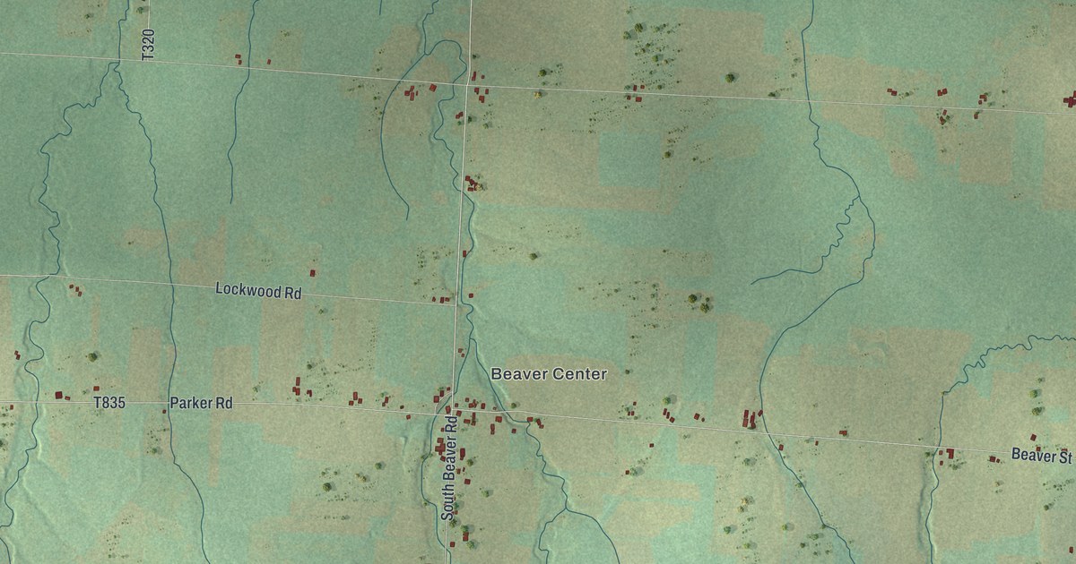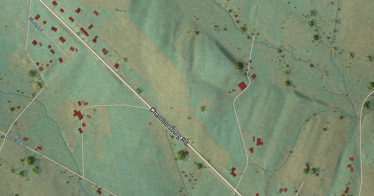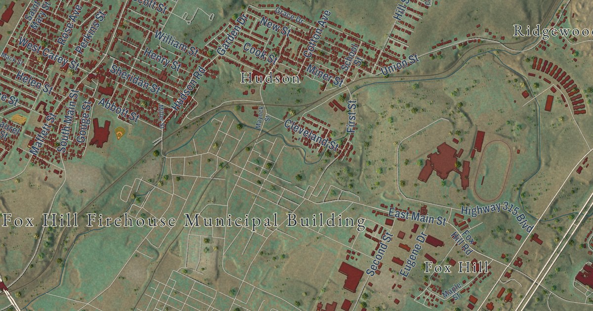
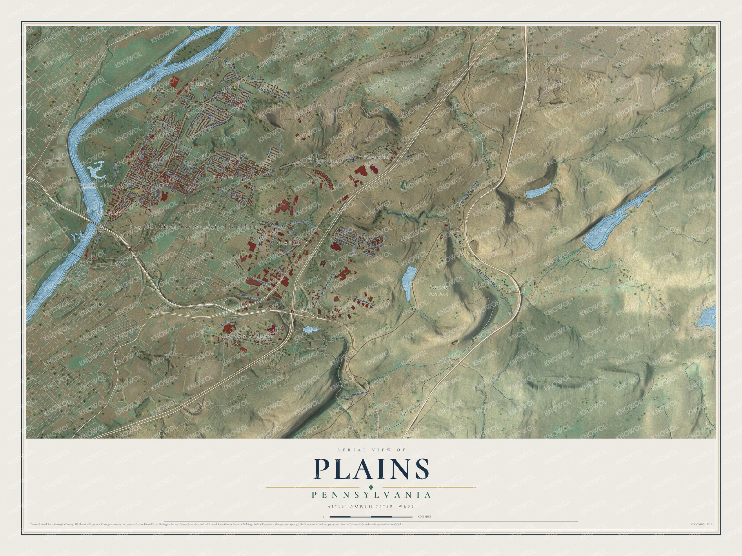
This beautifully detailed map of Plains, Pennsylvania was created in 2026 using aerial imagery combined with modern topographical, census, street and landmark data. It’s a one-of-a-kind view of Plains that combines accurate data with a vintage aesthetic. The map shows every building in its true location, many of the roads carry their names, and the shaded topographic relief shows the shape of the land.
Explore an aerial view of Plains, Pennsylvania
On the map you’ll find Fox Hill Firehouse Municipal Building, Midvale, Port Bowkley, Plainsville, Hilldale, Pinchot State Forest, Fox Hill, Hudson, Keystone, and Ridgewood, along with Boulevard Manor, West Carey Street, and more. If you look closely you can even find your house accurately drawn in its correct location. Zoom in on the preview to look for yours.
Take a closer look at the Plains map
Street and place names on the Plains, Pennsylvania map
These names are printed on the map of Plains, Pennsylvania.
Places: Fox Hill Firehouse Municipal Building, Midvale, Port Bowkley, Plainsville, Hilldale, Pinchot State Forest, Keystone, Boulevard Manor, Ridgewood, Hudson and Fox Hill.
Streets and roads: North River Street, West Carey Street, River Road, North Main Street, Hudson Road, Jumper Road, South Main Street, South River Street, East Main Street, South Beech Road, Garden Drive, Bear Creek Boulevard.
More street names, A to Z
Abbott Street, Baltimore Drive, Blanchard Street, Briar Creek Road, Burke Street, Cemetery Road, Clark Lane, Clark Street, Cleveland Street, Cook Street, Cotton Avenue, Courtright Street, Dale Drive, Driftwood Drive, Eagle Court, East End Boulevard, East Mountain Drive, East Saylor Avenue, Eugene Drive, Farrell Street, Finch Court, First Street, Fox Hill Road, Gail Drive, Gallagher Drive, Gouge Street, Grace Drive, Helen Street, Henry Street, Highway 315 Boulevard, Hilldale Avenue, Hill Street, Jason Drive, Jeanette Street, Laird Street, Laurel Street, Mack Street, Maffett Street, Maple Street, Mara Lane, Mayock Street, Mill Creek Road, Miller Street, Miner Street, Motorworld Drive, New Street, North Beech Road, Old Pittston Boulevard, Oneil Street, Paper, Penny Lane, Perkins Street, Pethick Street, Price Street, Ridgewood Road, Robin Court, Rose Avenue, Saint Mary Street, School Street, Scott Street, Second Street, Sheridan Street, Slope Street, Spruce Avenue, Stoney Creek Road, Sunset Drive, Swan Court, Terrace Drive, Union Street, Warner Street, Westminister Road, West Saylor Avenue, William Street.
See the Plains, Pennsylvania map on a wall
The Plains map as an 18 x 24 inch print in a black frame.

This beautifully detailed map of Plains makes an attractive addition to your office, library, or den, and it can even be used to teach children the geography and history of the area. It also makes a great gift for anyone with Plains roots. When you’re done exploring, click here to get your copy of the Plains map.