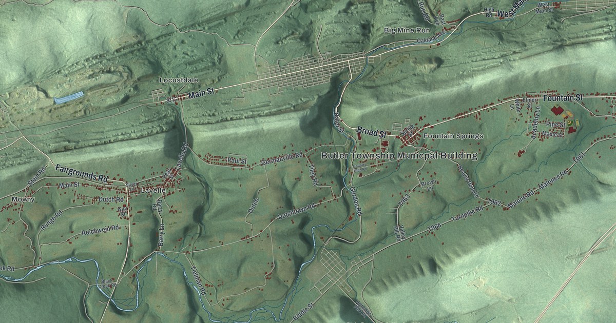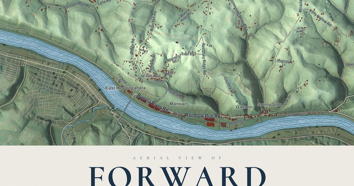
If you grew up along the river in Bunola or Elkhorn, or up the hill near the township building, this map has your roads on it. It's a modern aerial view of Forward Township in Allegheny County, Pennsylvania, made from modern data and given a vintage look. The Monongahela River curls around the west and south sides of the township, though it isn't labeled. Shaded green hills fill the land inside the bend, cut by long hollow roads. Small red buildings gather along the river roads and on the hilltops. Explore the print options for Forward, Allegheny County.
From Hayden Boulevard to Bunola and Elkhorn
Start at the Forward Township Municipal Building, printed on the right side of the map where Guffey Road meets Hayden Boulevard. Follow Hayden Boulevard north and you'll pass Hilldale on the way to the top of the sheet. Now go back and follow it south instead. Madison Drive, Payday Drive and Tunnel Hollow Road branch off before it reaches Rainbow Run Road near the bottom right. Turn west on Rainbow Run Road. It runs past Sunny Side and Gallatin to Manown, where it meets Bunola River Road. From there, Bunola River Road follows the river north past East Monongahela. Then it swings around the big bend past Elkhorn, Wallace and Bunola. Many of the roads are labeled, and each red shape is a building, so zoom in on the preview and look for yours.
Why Forward was first called the Jersey Settlement
The first families to settle for good in Forward were the Applegates and the Walls. They came from New Jersey in 1766. More families followed from the same state. For about a hundred years, people called the place the "Jersey Settlement." That comes from the History of Allegheny County, printed in 1889. The book says "Jersey" was the first name suggested for the township. It was named for Walter Forward instead. He started out as a newspaper editor in 1801 and served two terms in Congress. Later he was secretary of the treasury under President Tyler. He died in 1852 as a judge in Allegheny County. Forward Township was split off from Elizabeth Township on March 29, 1869.
Look near the center of the map for Wall Road, printed between Williamsport Road and Roberts Hollow Road. The book doesn't say it was named for the Wall family. It does list the main streams of the township, and one of them is Pangburn's Run. Pangburn Hollow Road carries that name down the middle of the sheet. Back by the river, the Elkhorn post office opened in 1875. It was named for the Elkhorn paper mills. The book also tells of coal works near Lock No. 3. Today a state marker stands at Elizabeth Lock and Dam No. 3 on Bunola River Road. It says the river's locks and dams were begun in 1838 and carried millions of tons of coal. The lock isn't labeled on the map, but Bunola River Road is.
A map for Bunola, Elkhorn and Sunny Side families
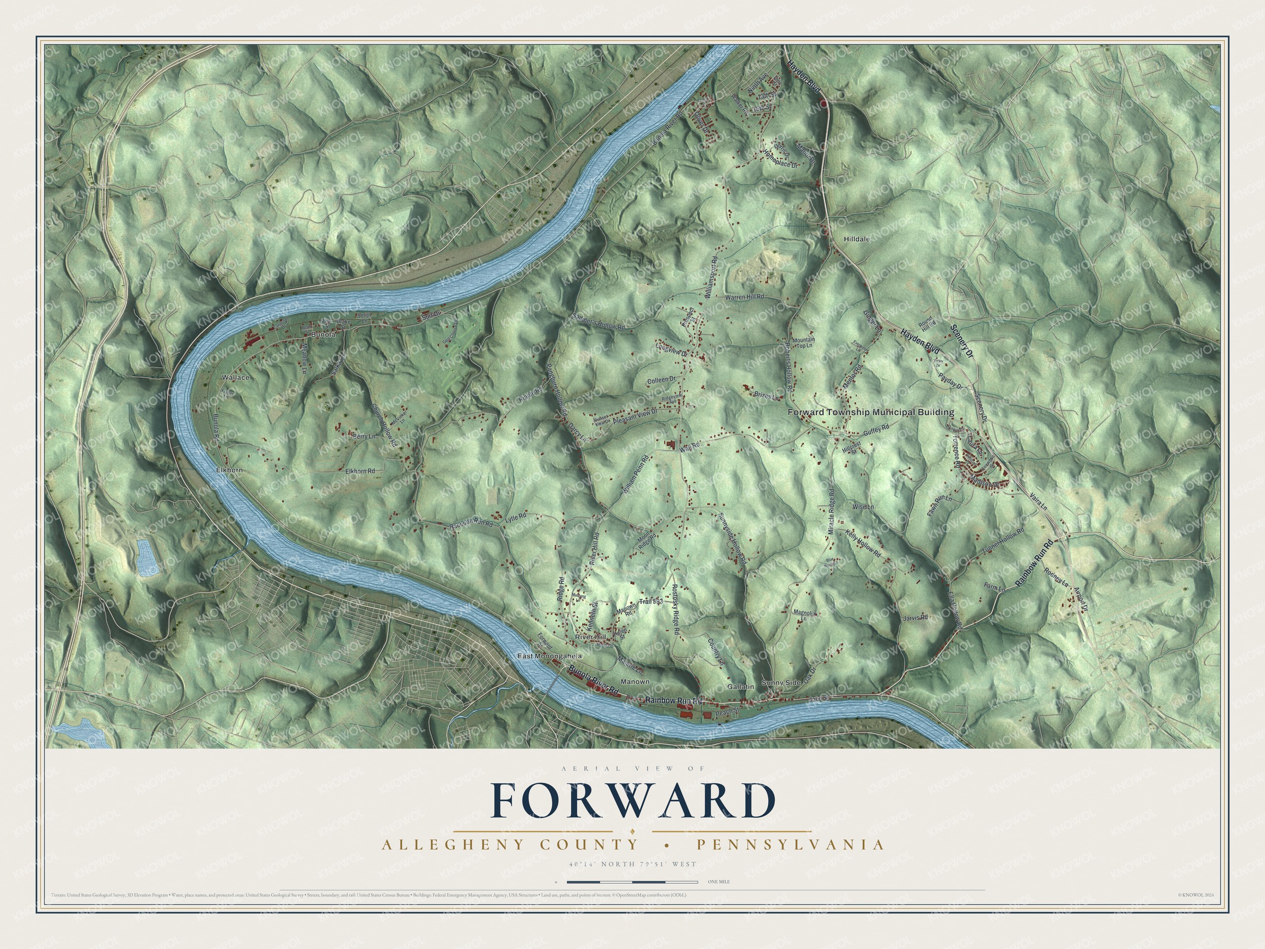
Created by KNOWOL in 2026, this Forward map shades the hills from USGS elevation data and sets the roads and buildings on top. The river is a soft blue, and the hollows show as deep folds in the green. The title panel reads "Aerial View of Forward, Allegheny County, Pennsylvania" with the coordinates 40°14' North, 79°51' West and a one-mile scale bar.
It fits a family room, a den or a camp wall. It's also a good gift for someone who grew up in Forward and moved away. Open the preview, find Rainbow Run Road or Bunola River Road, and follow it to the place you know. Shop the Forward, Allegheny County, Pennsylvania map.