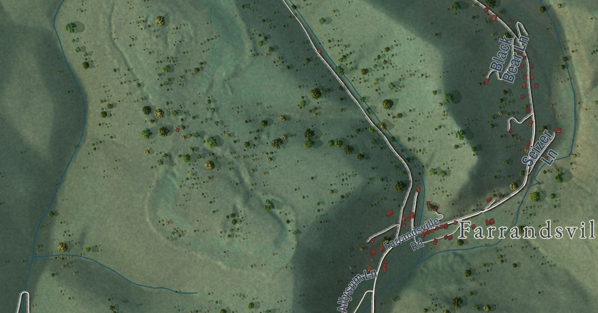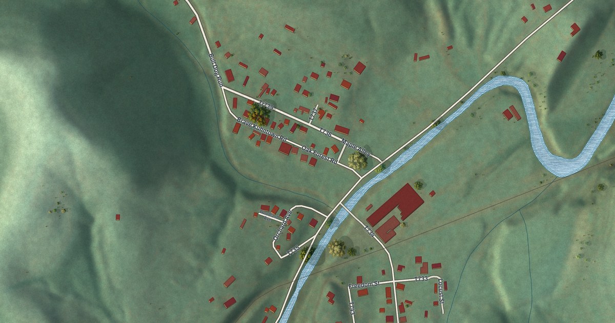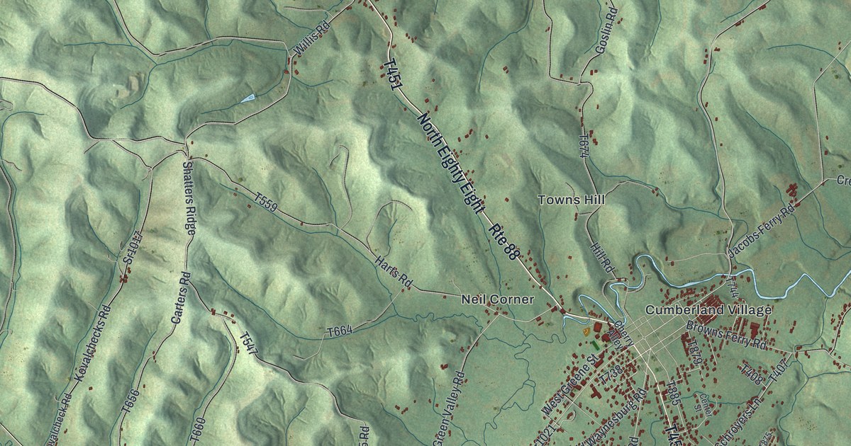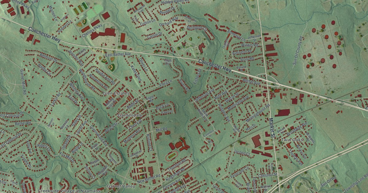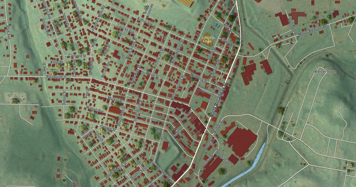
This beautifully detailed map of Scottdale, Pennsylvania was created in 2026 using aerial imagery combined with modern topographical, census, street and landmark data. It’s a one-of-a-kind view of Scottdale that combines accurate data with a vintage aesthetic. The map shows every building in its true location, many of the roads carry their names, and the shaded topographic relief shows the shape of the land.
Explore an aerial view of Scottdale, Pennsylvania
On the map you’ll find Kendi Park, Loucks Park, Garfield Park, and Keifertown, along with South Broadway Street, North Broadway Street, Porter Avenue, Pittsburgh Street, Bridge Street, Park Avenue, Delaware Avenue, Sylvan Road, and more. If you look closely you can even find your house accurately drawn in its correct location. Zoom in on the preview to look for yours.
Did you know this piece of Scottdale, Pennsylvania history?
From the 1882 History of the county of Westmoreland, Pennsylvania, with biographical sketches of many of its pioneers and prominent men: "In the fall of 1872, Peter S. Loucks had laid out fourteen lots, and his brother, Jacob S., ten, thinking these would answer, but in the following year such a demand arose for lots that they at once laid out the town regularly into a large number."
Take a closer look at the Scottdale map
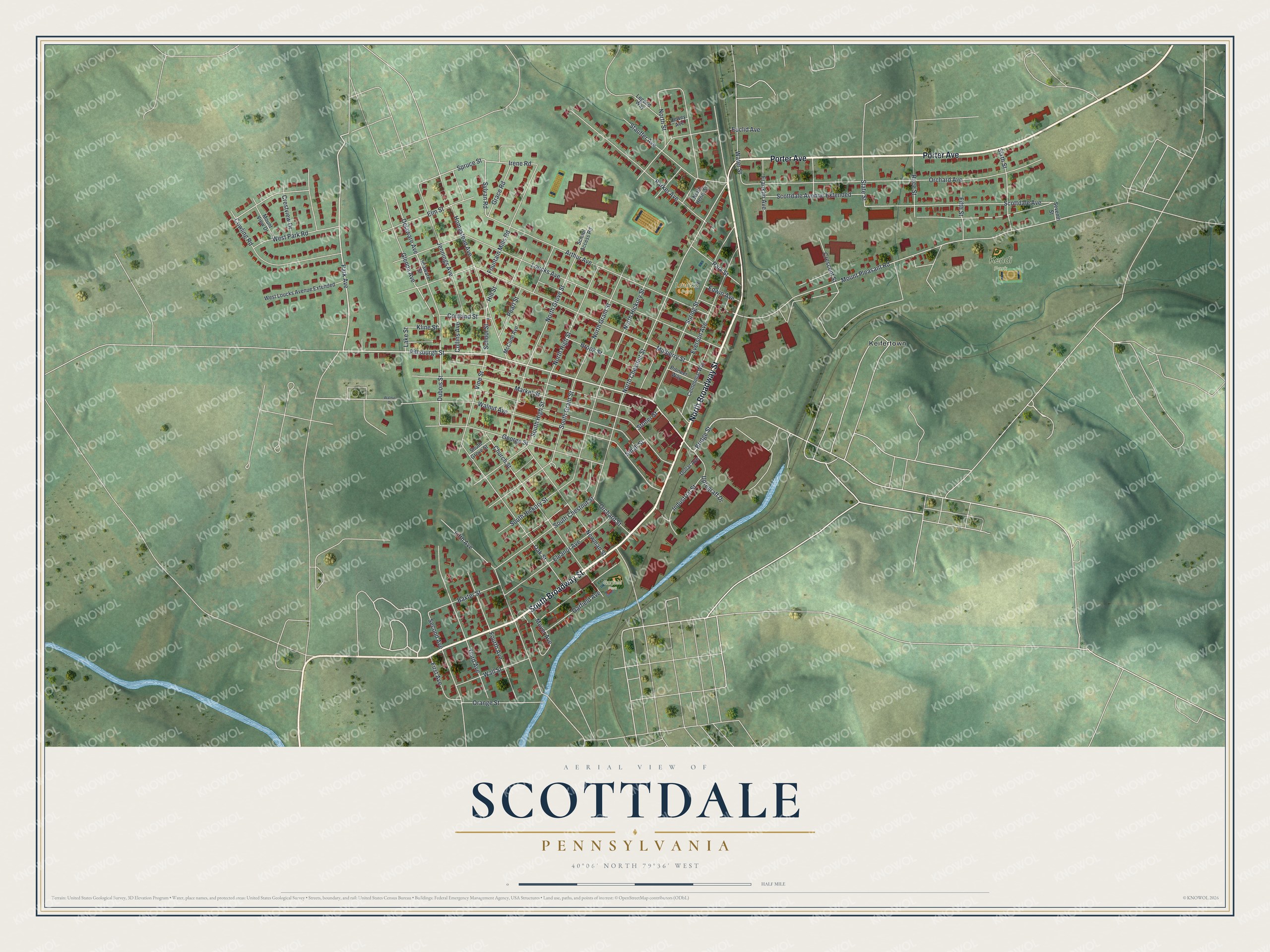
Street and place names on the Scottdale, Pennsylvania map
These names are printed on the map of Scottdale, Pennsylvania.
Places: Kendi Park, Loucks Park, Garfield Park and Keifertown.
Streets and roads: South Broadway Street, North Broadway Street, Porter Avenue, Pittsburgh Street, Bridge Street, Park Avenue, Delaware Avenue, Sylvan Road, North Chestnut Street, Irene Road, Spruce Street, Kline Street.
More street names, A to Z
Arthur Avenue, Baxter Street, Brook Street, Centennial Way, Church Street, Collins Avenue, Cortland Street, Cowling Road, Crescent Street, Crestview Drive, Delaware Street, Dewey Avenue, Dollar Avenue, Dubois Street, Edwin Avenue, Eleanor Avenue, Elm Street, Euclid Avenue, Everson Avenue, Fifth Avenue, Fifth Street, First Avenue, Fountain Mills Road, Fourth Avenue, Franklin Avenue, Garfield Avenue, George Street, Glenda Avenue, Grace Road, Hill Street, Homestead Avenue, Industrial Street, Jennings Avenue, Lake Street, Legend Way, Loucks Avenue, Market Street, McCune Avenue, Mount Pleasant Road, Mount View Drive, Moyer Avenue, Mulberry Street, Newman Street, North Grant Street, North Grove Street, North Henry Street, North Hickory Street, North High Street, North Street, Oak Street, Orange Street, Orchard Avenue, Orchard Street, Parker Avenue, Park Street, Pearl Street, Pioneer Way, Race Street, School Access Road, School Street, Scottdale Avenue, Scottdale Avenue Extended, Second Avenue, Seventh Street, Sixth Street, Small Street, South Chestnut Street, South Grant Street, South Grove Street, South Hickory Street, South High Street, Spring Street, State Street, Stauffer Avenue, Stoner Street, Third Avenue, Uptegraff Drive, Vine Street, Wall Street, Walnut Avenue, Walnut Drive, Water Street, West Loucks Avenue Extended, West Park Road.
See the Scottdale, Pennsylvania map on a wall
The Scottdale map as an 18 x 24 inch print in a black frame.

This beautifully detailed map of Scottdale makes an attractive addition to your office, library, or den, and it can even be used to teach children the geography and history of the area. It also makes a great gift for anyone who grew up in Scottdale or moved away. When you’re done exploring, click here to get your copy of the Scottdale map.