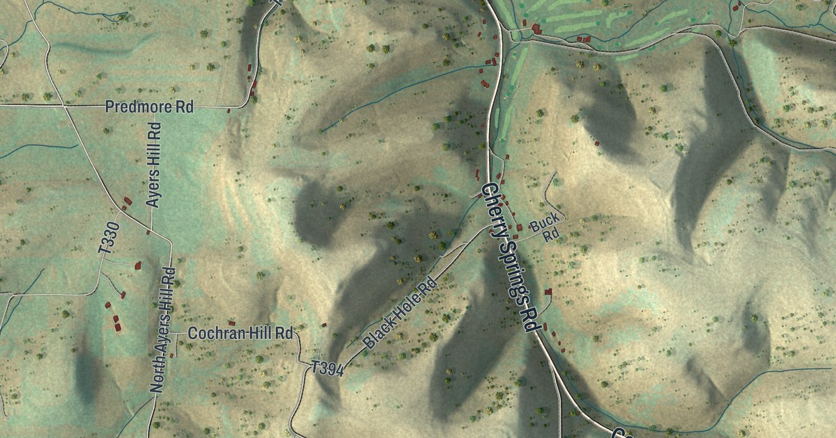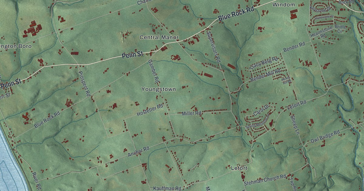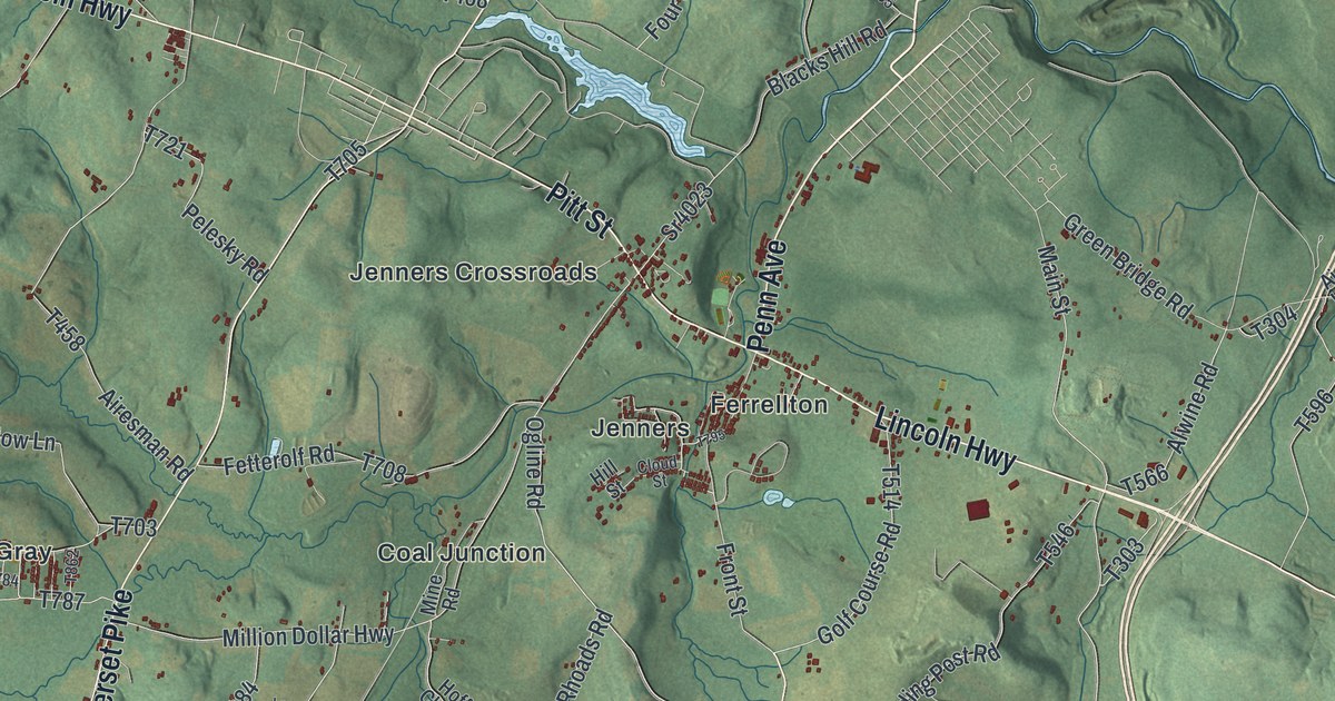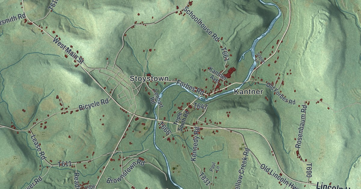
If you grew up in Quemahoning Township, or your family still lives near Stoystown, Kantner or Kimmelton, this map has plenty for you to find. It's a modern aerial view of Quemahoning in Somerset County, Pennsylvania, made from modern data and given a vintage look. The hills are shaded in soft green, with deep folds where the streams run. A long blue lake winds across the top half, and a creek bends down the right side. Each small red mark is a building, from Ralphton on the left to Coleman at the bottom.
From Stoystown along Whistler Road and Pompey Hill Road
Start at Stoystown, near the middle of the sheet. Forbes Road runs east from town, past Kantner, to Whistler Road. Follow Whistler Road north along the creek. On the way it meets Station Lane, Old Forbes Road and Number 3 Road. Up near the top right, it reaches Koontz Road, Land Street and Front Street. Back at Stoystown, Lincoln Highway heads east toward the lower right corner. There, Old Lincoln Highway and Lambertsville Road split off.
Now go south. Stoystown Road leaves Lincoln Highway and passes Reading Number Three, where Reading Mine Road branches off. Farther down, Pompey Hill Road heads east through Kimmelton and on to Mostoller. Mostoller Road drops south to Coleman at the bottom edge. For the west side, follow Lincoln Highway west past Slagle Hill Road and Horner Church Road. Ralphton Road turns off to Ralphton on the left. Many roads are labeled, and each red mark is a building, so zoom in on the preview and look for yours.
Forbes Road and the Stony Creek encampment of 1758
Long before Lincoln Highway, there was the Forbes Road. In 1758, General Forbes' army opened it from Fort Bedford to Fort Duquesne. A state historical marker stands where Lincoln Highway meets Whistler Road. It says a fortified supply depot stood a little north of there. People called it the Stony Creek encampment or fort. An older plaque on Whistler Road, put up in 1930, calls the supply headquarters "The Ovens." It puts the spot 23.5 miles from Fort Bedford. From there, the old road went north to the foot of Laurel Hill. The Somerset County marker adds that settlement followed the course of Forbes Road.
What the name Quemahoning means
Quemahoning Township was organized in 1775. It takes its name from its main stream. The History of Bedford, Somerset, and Fulton Counties, printed in 1884, explains the name. It comes from the Rev. Jacob Heckewelder, who spent forty years as a missionary among the Delawares. He gave two words, Cuuni and Mahoni. Cuuni means a pine grove. Mahoni means water from a lick. Put together, they mean a stream flowing out of a lick in a pine grove. The same book says the people here were mostly of German descent. To see the old route on the map, find Forbes Road between Stoystown and Whistler Road, then Old Forbes Road just east of it.
For anyone who knows Whistler Road and Stoystown Road
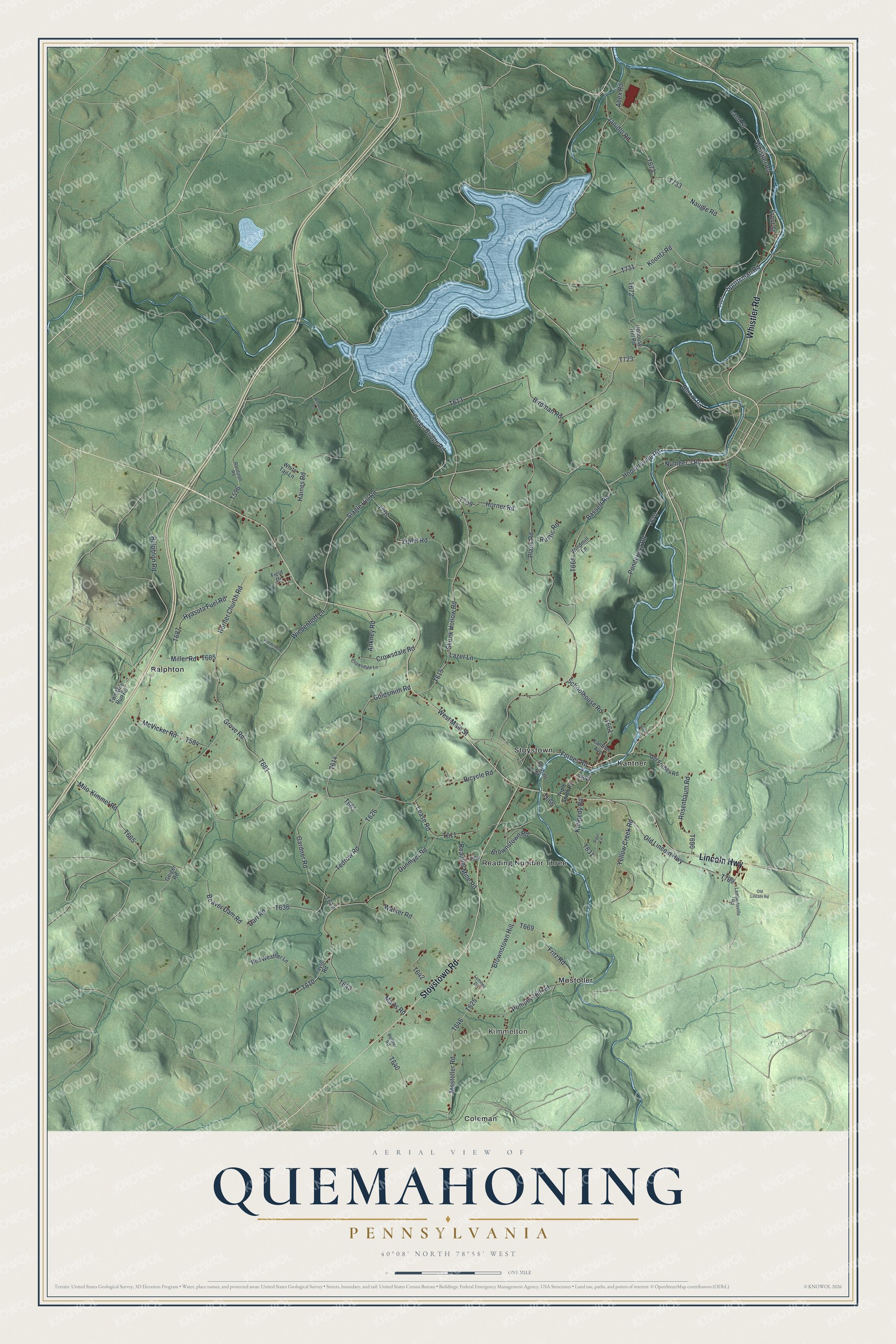
Created by KNOWOL in 2026, this Quemahoning map shows the whole township, from the lake at the top to Coleman at the bottom. The hills are shaded from USGS elevation data, so the creek valleys stand out. The title panel reads "Aerial View of Quemahoning, Pennsylvania," with 40°08' North 78°58' West and a one-mile scale bar.
It fits a den, a kitchen or a hunting camp wall. It makes a good gift for someone who grew up in Stoystown and moved away, or who still has family out along Pompey Hill Road. Open the preview, find Stoystown in the middle and trace your road out from there. See sizes and frames for the Quemahoning map.