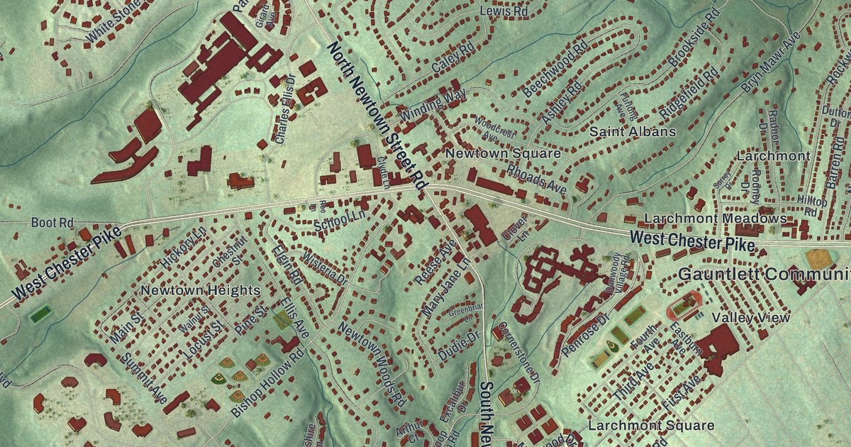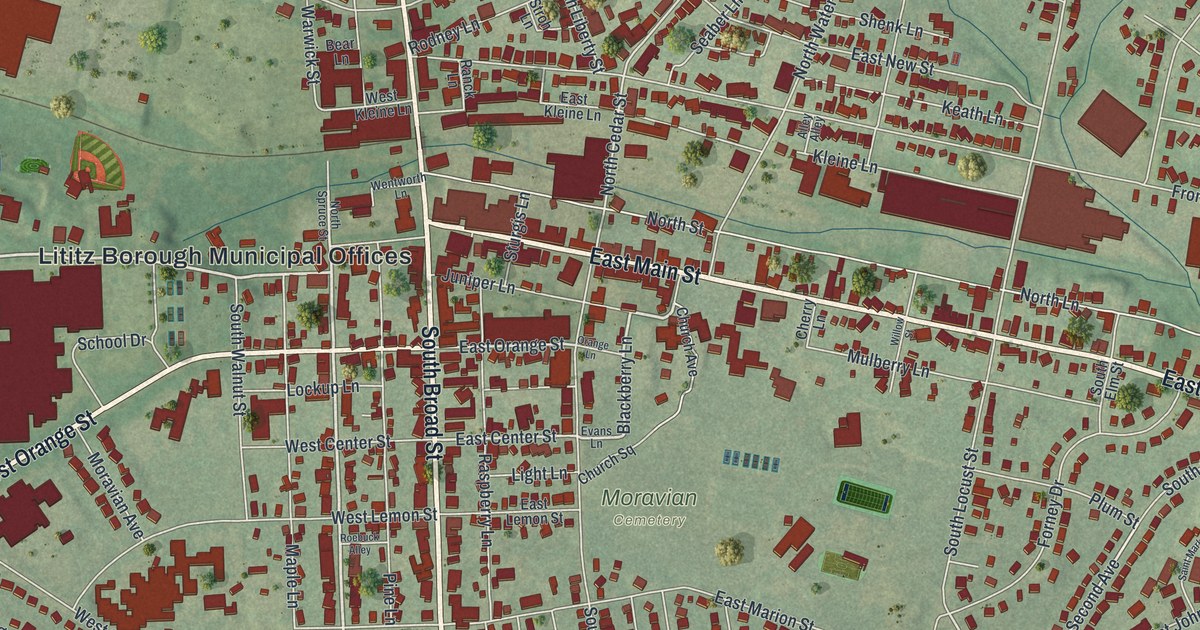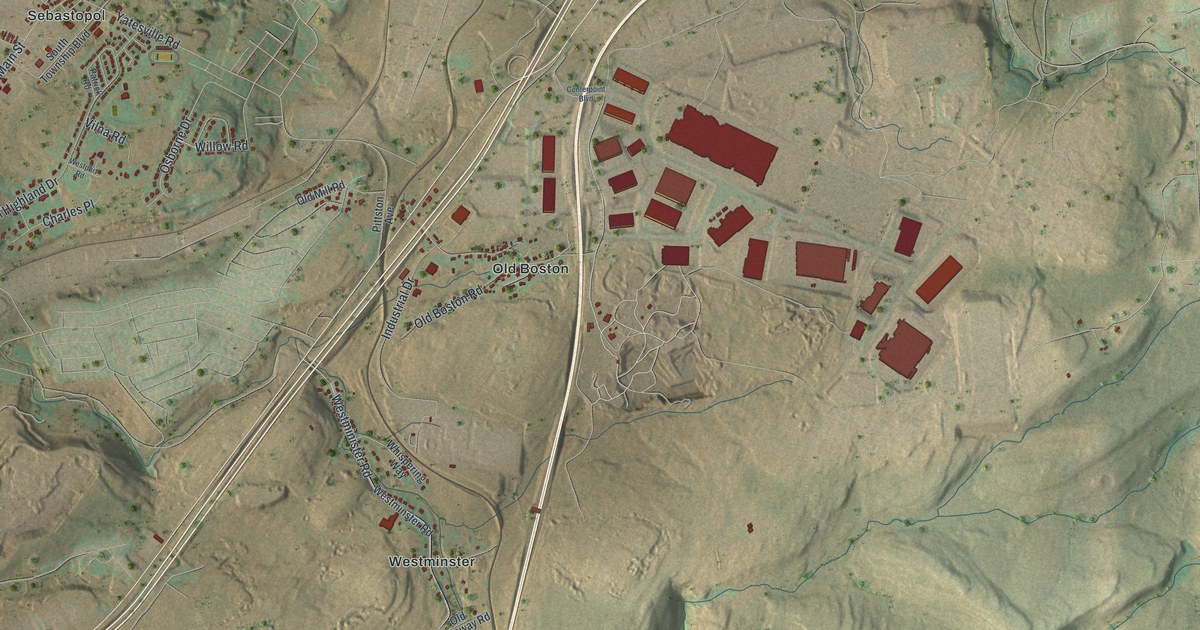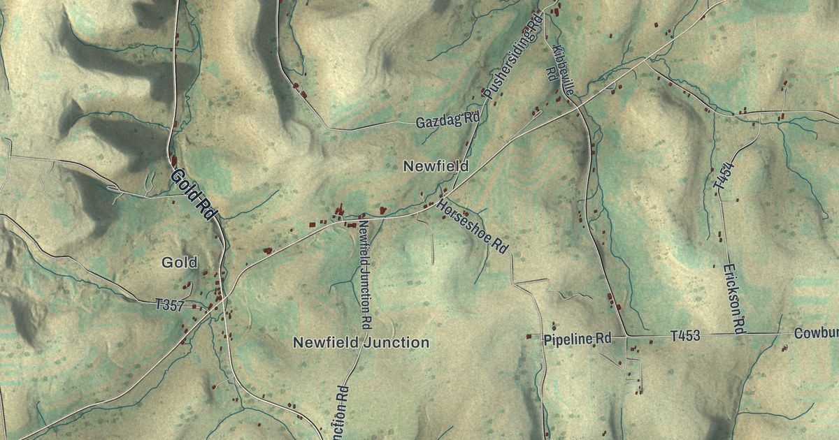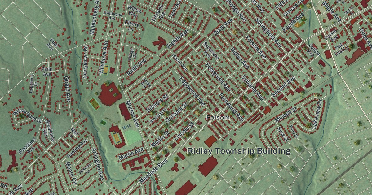
If you grew up in Folsom, Woodlyn or Holmes, or you still drive Macdade Boulevard most days, you'll find plenty to recognize on this map. It's a modern aerial view of Ridley Township in Delaware County, Pennsylvania, made from modern data and given a vintage artistic feel. Homes and other buildings are marked in deep red over soft green hills. The map stretches from Morton and Wyndom near the top to Chester Pike, Industrial Highway and a wide blue river below.
Macdade Boulevard and Fairview Road to Leiperville
Start at the Ridley Township Building in the middle of the map. Macdade Boulevard runs right past it. Follow Macdade northeast through Folsom. Along the way you'll cross Morton Avenue and Swarthmore Avenue, then Kedron Avenue and Amosland Road. Keep going and the streets crowd in around Holmes and Wyndom in the top right corner. Armstrong Avenue and Wyndom Terrace wind through there, and Providence Road runs across the top.
Now head back down Macdade Boulevard to the southwest. Past the Township Building you'll reach Milmont. West Ridley Park, Fairview and Woodlyn fill the blocks just below it. Take Fairview Road south to Leiperville and Chester Pike. From there, Chester Pike heads east to Leedom Estates. Below it, Industrial Highway runs past the biggest red buildings on the sheet. Many streets carry their names, and each red shape is a building, so zoom in and look for your block.
A 1670 land record along Crum Creek
An 1884 county history records a land patent in Ridley from June 13, 1670. It says Neals Mattson received 100 acres of Stille land along the west side of Crum Creek. Read the History of Delaware County for the original account.
Find Crum Creek Drive near the bottom left of the map. It meets Bullens Lane there. Leiperville sits beside Chester Pike, and Fairview Road and Holland Street meet the Pike nearby. Zoom in to follow those printed roads.
For anyone who grew up off Macdade Boulevard
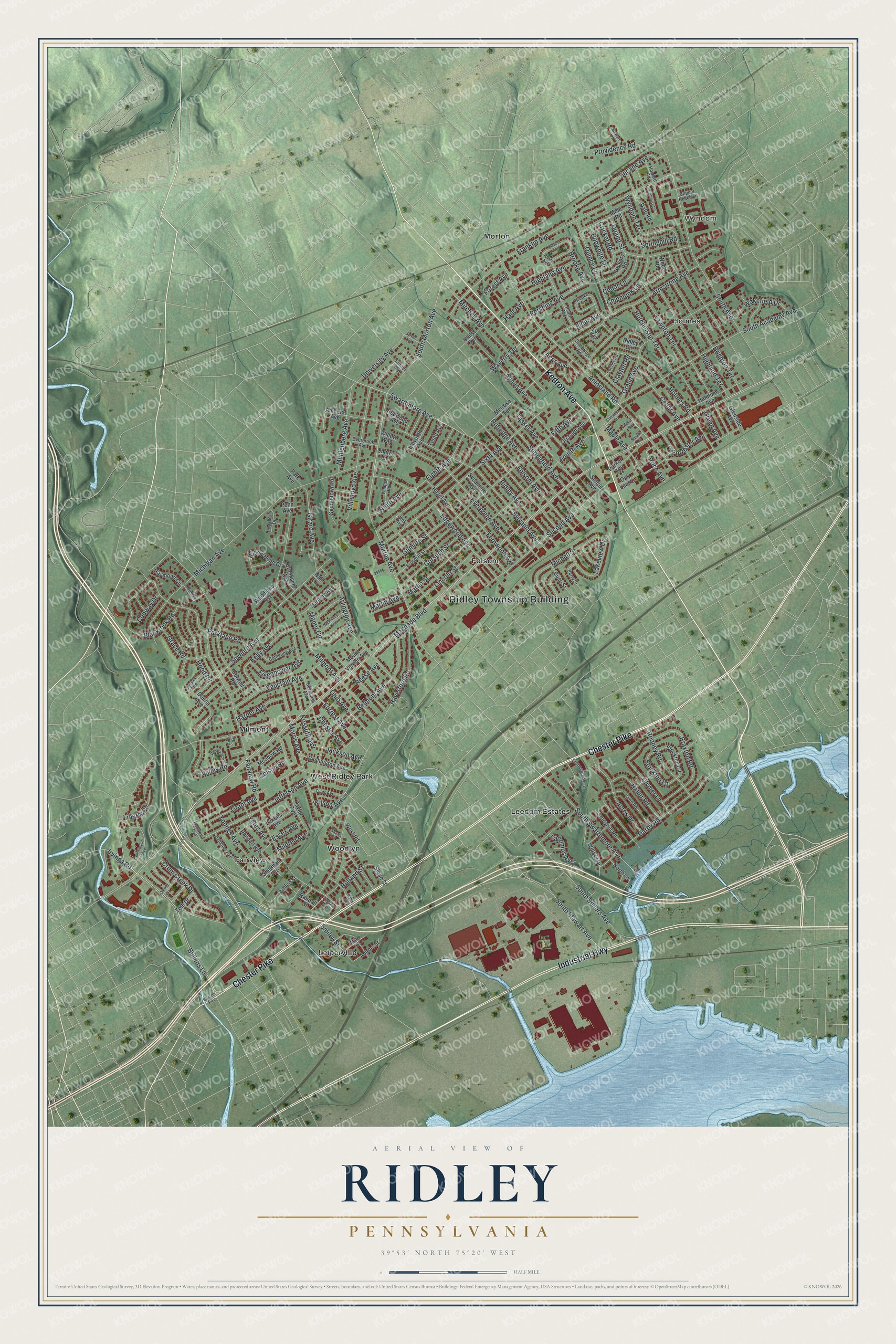
Created by KNOWOL in 2026, this Ridley map shows named streets and red building shapes over shaded green hills. Houses and larger buildings are drawn in deep red, and the creeks and river are pale blue. The title panel reads "Aerial View of Ridley, Pennsylvania" with the coordinates 39°53' North, 75°20' West and a half-mile scale bar.
It fits a family room, a home office or a first apartment. It's a thoughtful gift for someone who grew up near the Ridley Township Building, has family in Woodlyn or moved away from Folsom. Open the preview, zoom in and find the street you know. See sizes and frames for the Ridley map.