If you grew up in Camp Hill, or still have family on one of its numbered streets, this map gives you a lot to find. It's a modern aerial view of Camp Hill in Cumberland County, Pennsylvania, made from modern data with a vintage look. More than 6,000 buildings are drawn in deep red on soft green hills. Market Street runs straight across the middle of town. A winding creek, not labeled, loops across the top of the sheet. Explore the print options for Camp Hill.
Market Street, Trindle Road and the month streets
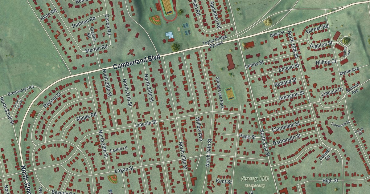
Start at Camp Hill Borough Hall, printed just right of center. Walnut Street runs right past it, and Camp Hill Cemetery is named just above. Market Street crosses the town just below. The map labels it Carlisle Pike too. Follow it west. Near the left side, North 32nd Street crosses. Just south of Market, the Camp Hill Bypass heads south and Trindle Road angles off toward the lower left corner. Down in that lower left corner, look for streets named for months: March, April, May, June, September, October and November Drive. Now go back up to Cumberland Boulevard, which curves across the top of town. North of it, Country Club Road heads toward Knob Point in the top left, and Siebert Park sits near the creek. Many of the roads are labeled, and each red shape is a building, so zoom in on the preview and look for yours.
Market Street is where Camp Hill's Civil War story happened. In June 1863, Confederate troops were moving toward Harrisburg, just days before the Battle of Gettysburg. A state historical marker at 3025 Market Street tells what came next. Units under General A.G. Jenkins reached Oyster Point on June 28. No body of Confederate troops got closer to Harrisburg. The next day, militia met them here in a skirmish, and both sides had casualties. Another marker, farther west on Trindle Road near Mechanicsburg, says the troops pulled back on June 30. They'd been ordered to Gettysburg.
Oyster Point isn't labeled on this map. But the marker's address, 3025 Market Street, is on the west side of town, a little east of North 32nd Street. Follow Market Street west from Borough Hall and you'll reach it.
The town's name has a story too. An 1886 county history says Camp Hill sits on higher ground, two miles west of the Susquehanna River. From 1851 it was called White Hall, after an academy of that name. A post office opened in 1867, and the town took the name Camp Hill. It became a borough in September 1885. The same book says a Soldiers' Orphan School was here then. It also puts the town just north of the Cumberland Valley Railroad. Rail lines still cross the lower part of this map, though they aren't labeled.
For anyone who knows Market Street and Siebert Park
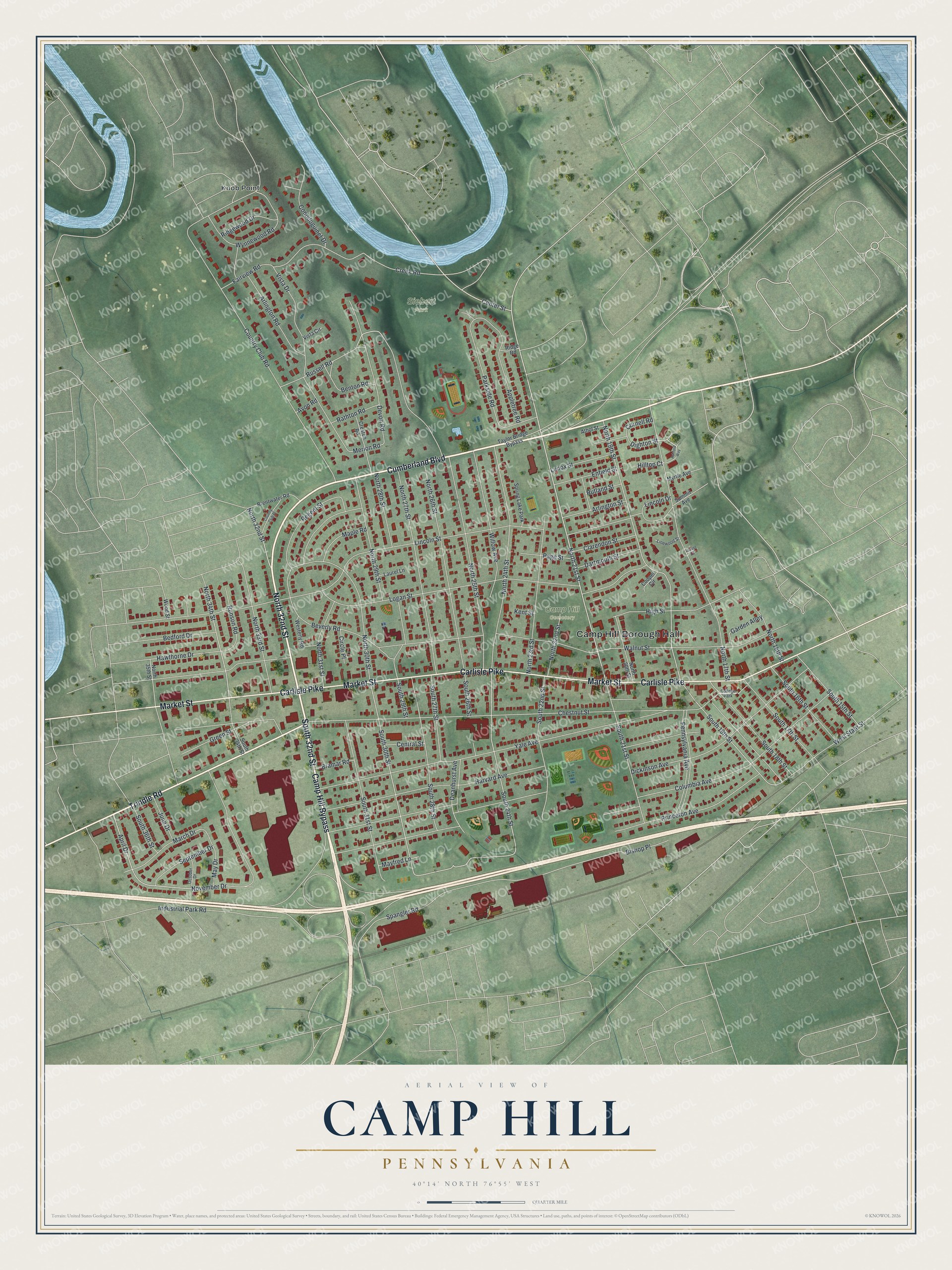
Created by KNOWOL in 2026, this Camp Hill map shows the borough's streets, with its buildings in deep red and the hills shaded from USGS elevation data. The title panel reads "Aerial View of Camp Hill, Pennsylvania," with the coordinates 40°14' North, 76°55' West and a quarter-mile scale bar.
Hang it in a home office, a den or a front hall. It makes a good gift for someone who grew up in Camp Hill and moved away, or for family still living off Trindle Road or Cumberland Boulevard. Open the preview, start at Borough Hall and find your block. Shop the Camp Hill, Pennsylvania map.