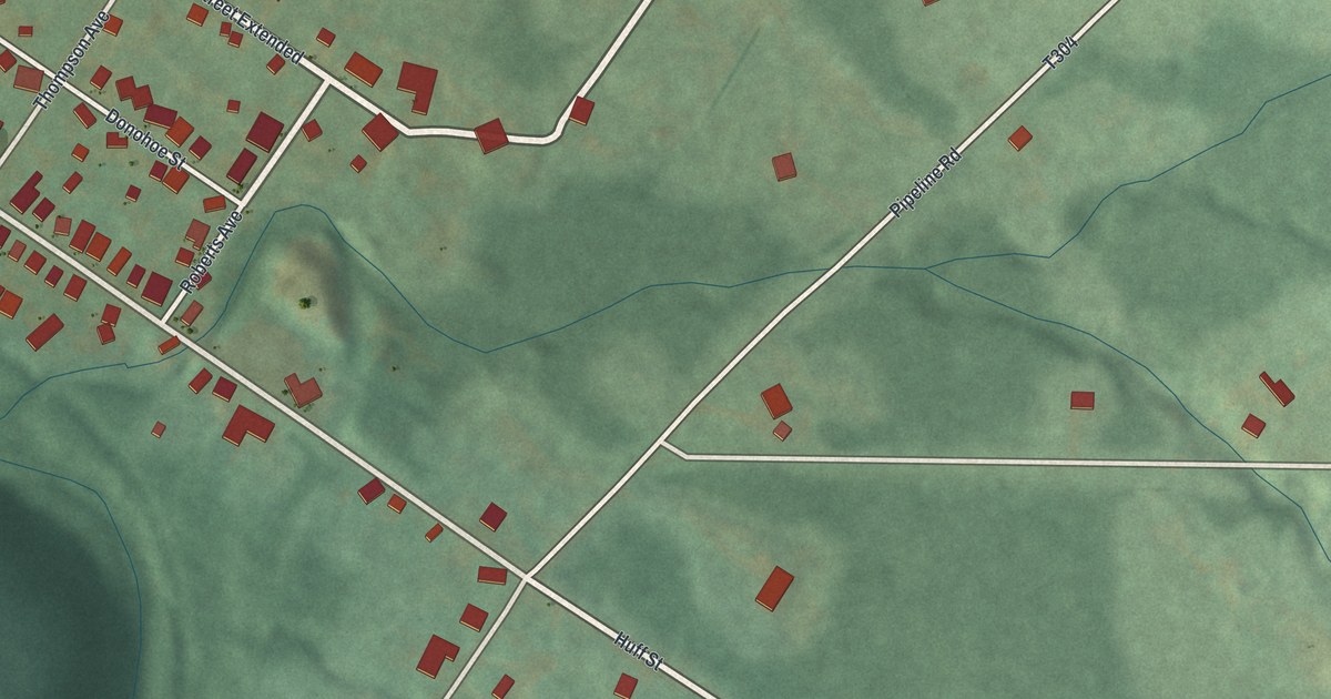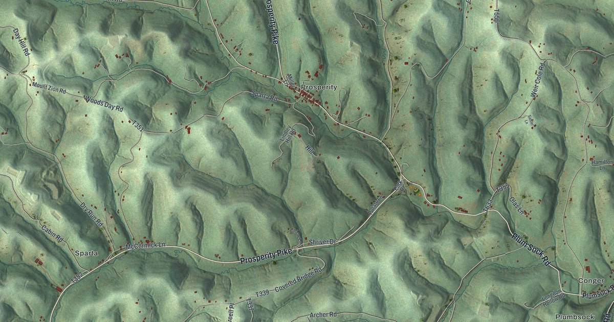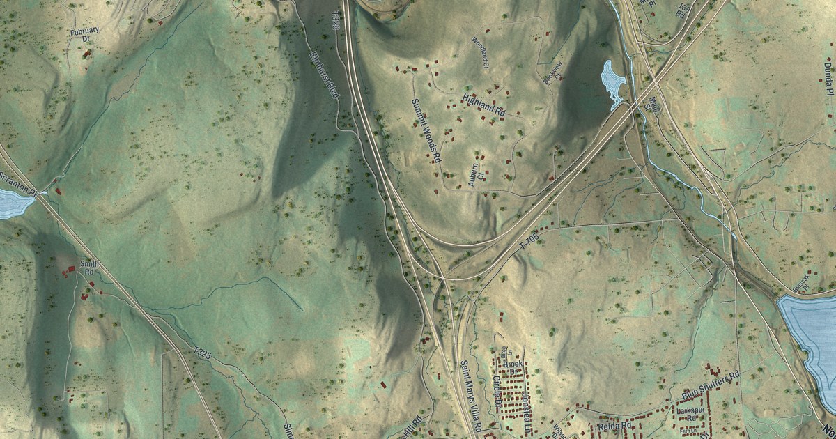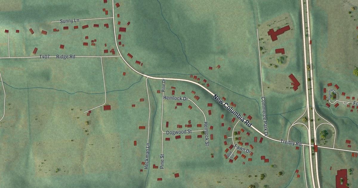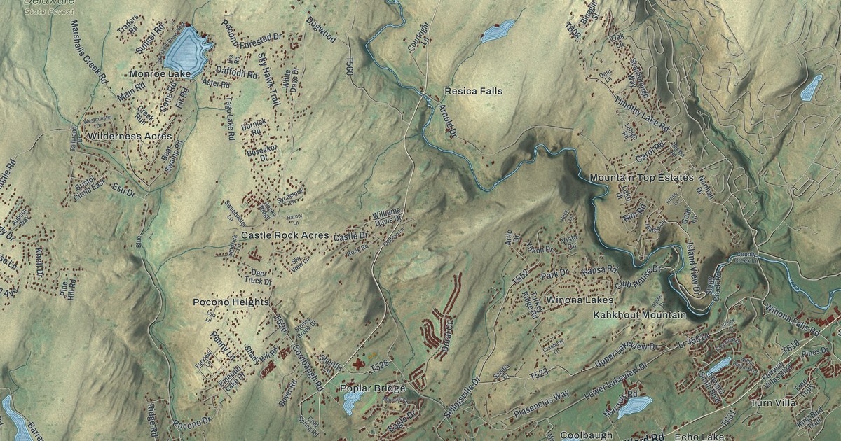
This beautifully detailed map of Middle Smithfield, Pennsylvania was created in 2026 using aerial imagery combined with modern topographical, census, street and landmark data. It’s a one-of-a-kind view of Middle Smithfield that combines accurate data with a vintage aesthetic. The map shows every building in its true location, many of the roads carry their names, and the shaded topographic relief shows the shape of the land.
Explore an aerial view of Middle Smithfield, Pennsylvania
On the map you’ll find Delaware State Forest, Delaware Water Gap National Recreation Area, Castle Rock Acres, Coolbaugh, Echo Lake, Frutchey, Kahkhout Mountain, Monroe Lake, Mountain Top Estates, Oak Grove, Pocono Heights, and more. If you look closely you can even find your house accurately drawn in its correct location. Zoom in on the preview to look for yours.
Did you know this piece of Middle Smithfield, Pennsylvania history?
The Schoonover Mountain House in Middle Smithfield Township dates to the 1850s. The family enlarged it at least three times by 1900. Through the late 1800s and early 1900s, the Schoonovers ran it as a boarding house for vacationers. It joined the National Register of Historic Places in 1979.
Take a closer look at the Middle Smithfield map
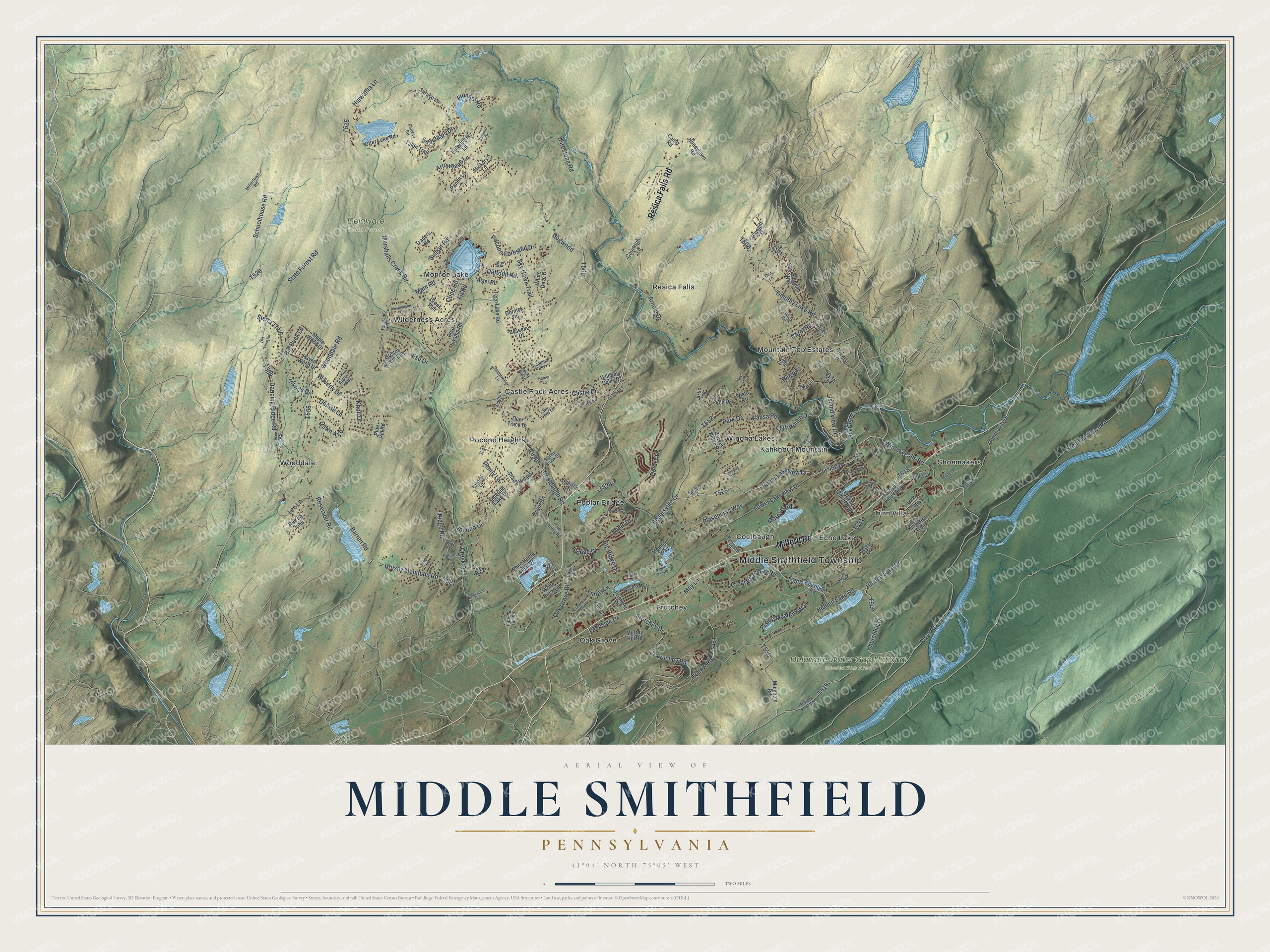
Street and place names on the Middle Smithfield, Pennsylvania map
These names are printed on the map of Middle Smithfield, Pennsylvania.
Places: Middle Smithfield Township, Delaware State Forest, Delaware Water Gap National Recreation Area, Castle Rock Acres, Coolbaugh, Echo Lake, Frutchey, Kahkhout Mountain, Monroe Lake, Mountain Top Estates, Oak Grove, Pocono Heights, Poplar Bridge, Resica Falls, Shoemakers, Turn Villa, Wilderness Acres, Winona Lakes and Wooddale.
Streets and roads: Resica Falls Road, Milford Road, Upper Lakeview Drive, Dancing Ridge Road, Timothy Lake Road, Island View Drive, Lr 45014, Carol Road, Hidden Lake Drive, Churchhill Drive, Marshalls Creek Road, Coolbaugh Road.
More street names, A to Z
Alpine Drive, Arnold Drive, Arrowhead Lane, Artic Drive, Aster Road, Auburn Way, Barren Road, Bear Swamp Road, Besecker Drive, Big Buck Lane, Big Ridge Drive, Blue, Bluegill Street, Bowie Lane, Boyer Road, Bridgeport Lane, Bristol Circle East, Brushy Mountain Road, Camp Road, Canal Road, Castle Drive, Cedar Court, Chateau Lane, Clearview Drive, Club House Drive, Cold Spring Road, Columbia Boulevard, Community Drive, Cone Road, County Creek Lane, Courtright Lane, Cranberry Lane, Creek Road, Creek Run, Daffodil Road, Dani Lane, Dawn Avenue, Deer Track Drive, Denise Lane, Dogwood, Doral Court, Dornick Road, Eagle Drive, Edward Smith Boulevard, Elderberry Lane, Emerald Lake Drive, Empty Lane, Esu Drive, Fairway Villas Boulevard, Farview Lane, Firestone Road, Fir Road, Freeman Tract Road, Fringe Drive, Frontier Road, Fruchey Road, Frutchey Drive, Gold Lane, Great Bear Way Road, Green Lane, Harper Lane, Haven Wood Drive, Heron Point Road, Hiawatha Lane, Hickory Lane, Hidden Lake Road, Hiker's Drive, Hilltop Circle, Hollow Road, Honeytown Road, Huck Lane, Huffman Hill Road, Hutson Hill, Hutson Hl, Iris Road, Kansa Road, Keystone Road, King Bird Trail, Knoll Drive, Kosak Cr, Lace Drive, Lake Drive, Lakeshore Drive West, Lakeside Drive, Lee Lane, Lehigh Road, Lois Lane, Lower Lakeview Drive, Main Road, Majestic Court, Mansion Lane, Maple Wood Drive, Marquis Road, May Lane, McCole Road, Meander Way, Michaels Road, Millertown Road, Mosiers Knob Road, Municipal Drive, Murray Hill Road, Navaho Road, Norman Drive, Oak Grove Road, Oak Lane, Old Farm Road, Otter Lake Road, Panda Lane, Park Drive, Penny Lane, Pine Hill Road, Pines Drive, Plasencias Way, Plateau Road, Pocono Drive, Pocono Forested Drive, Primrose Drive, Reservoir Road, Ridge Road, Rim Road, Rising Meadow Way, River Road, River Road North, Rock Road, Rocky Ridge, Rue de John, Sanctuary Drive, Sandra Court, Scarborough Way, School, Schoolhouse Road, Sellersville Drive, Shady Hill Road, Sheriffs Lane, Sidorick Lane, Sierra Trail, Sky Hawk Trail, Sky View Lane, Slope Road, Spruce Lane, State Forest Road, Stoney Brook Drive, Stony Creek Road, Sumner Drive, Sunset Road, Sweetwater Lane, Sycamore Lane, Tallyrand Drive, Talon Trail, Tego Lake Road, Tiger Court, Traders Road, Tree Tops, Turkey Ridge Road, Vista Circle, Wagon Trail Road, Waverly Drive, Westlake Drive, Westminster Drive, White Birch Lane, White Dove Drive, White Heron Lake Drive, Wilbur Bloom Boulevard, Williams Davis Drive, Winona Falls Road, Wooddale Road, Yale Court, Yukon Drive.
See the Middle Smithfield, Pennsylvania map on a wall
The Middle Smithfield map as an 18 x 24 inch print in a black frame.

This beautifully detailed map of Middle Smithfield makes an attractive addition to your office, library, or den, and it can even be used to teach children the geography and history of the area. It also makes a great gift for someone who left Middle Smithfield and still calls it home. When you’re done exploring, click here to get your copy of the Middle Smithfield map.