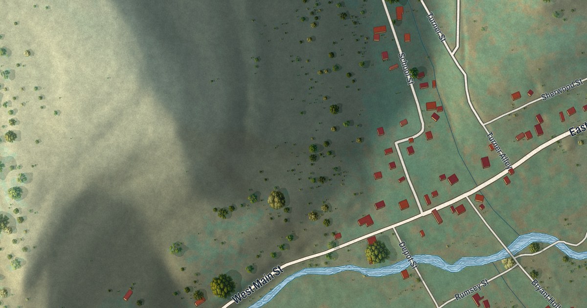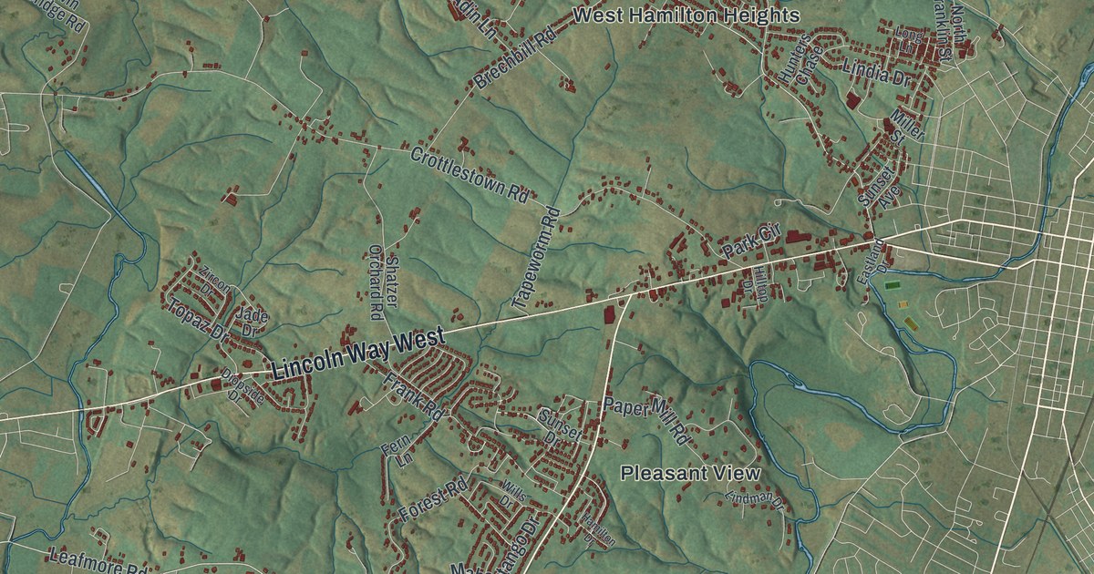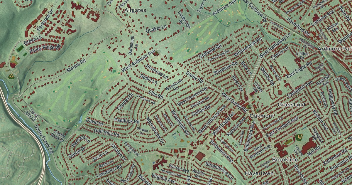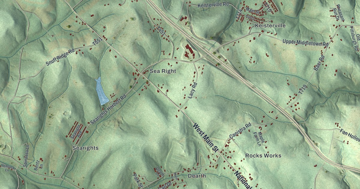
If you grew up in New Salem, have family out near Keisterville, or know the National Pike by heart, this map has a lot for you to find. This is a modern aerial view of Menallen Township in Fayette County, Pennsylvania, made from modern data and given a vintage look. Green hills fold across the whole sheet, and more than 5,000 buildings are drawn as small red shapes. Over 20 place names are printed, from Smock at the top to Balsinger and Uledi at the bottom.
New Salem, Dearth Road and the National Pike
Start at New Salem in the lower left, where the red buildings sit closest together. Buffington and Newboro are just above it. Head a little north to Herbert, then follow Dearth Road east past Dearth. Dearth Road meets the National Pike near Rocks Works. Canistra Road also meets the pike near Rocks Works. Turn left and go northwest. Past Lacy Road you'll reach Sea Right. From there, Searights Herbert Road runs back southwest to Searights.
Now follow the pike the other way, southeast past Haddenville. Duck Hollow Road meets it near Duck Hollow Golf Club in the lower right. Up at the top of the sheet, Pleasant View Smock Road climbs north to Smock. A blue creek bends near Rothruck and Waltersburg. Pittsburgh Road runs south past both places, east of Upper Middletown. Upper Middletown is printed near the top right of the sheet. Many roads are labeled, so zoom in on the preview and look for yours.
Searight's tavern and the 1835 tollhouse
A Pennsylvania historical marker calls Searight's tavern a stop on the old National Road. It was also called the Half Way House, between Uniontown and Brownsville. The marker says William Searight acquired it in 1821. Another marker says Pennsylvania built Searight's Tollhouse in 1835. The marker places the tollhouse site on National Pike between Lacy Road and Dearth and Canistra Roads.
Sea Right and Searights are both printed near that stretch of road. The Josiah Frost House, on the south side of the pike west of Searight's Corners, is listed on the National Register.
For someone who grew up near New Salem or Searights
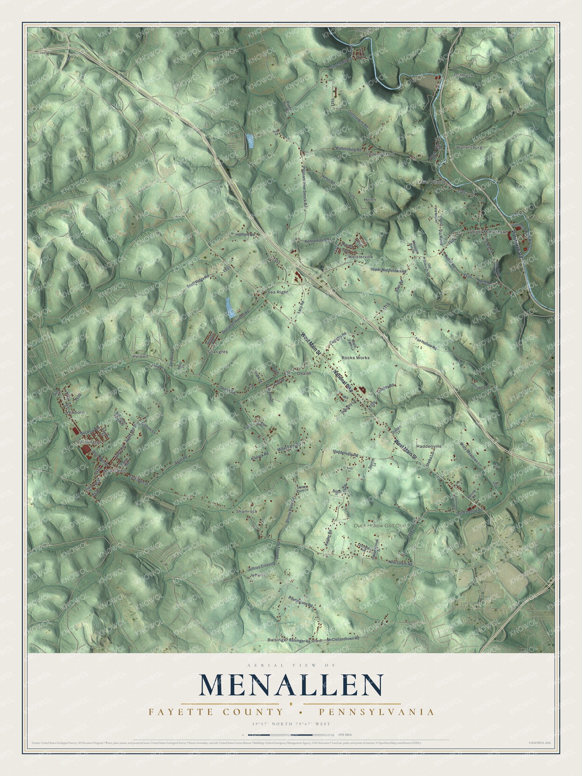
Created by KNOWOL in 2026, this Menallen map suits an office, a den or a kitchen wall. The hills are shaded in soft green from USGS elevation data, the buildings are small red shapes, and a blue creek winds down the top right corner. The title panel names Menallen in Fayette County, Pennsylvania. It shows 39°57' North, 79°47' West and a one-mile scale bar.
It's a thoughtful gift for someone who grew up in New Salem, has family near Keisterville or moved away from Fayette County. Open the preview, zoom in and trace the National Pike to a corner you know. See sizes and frames for the Menallen, Fayette County map.