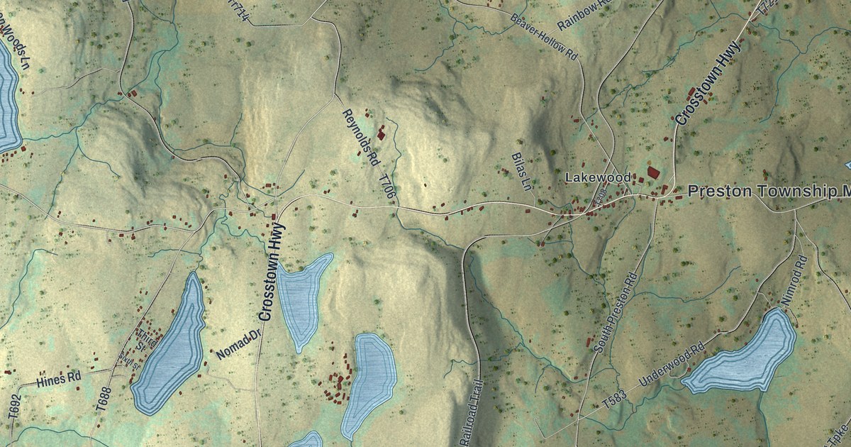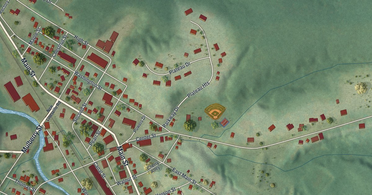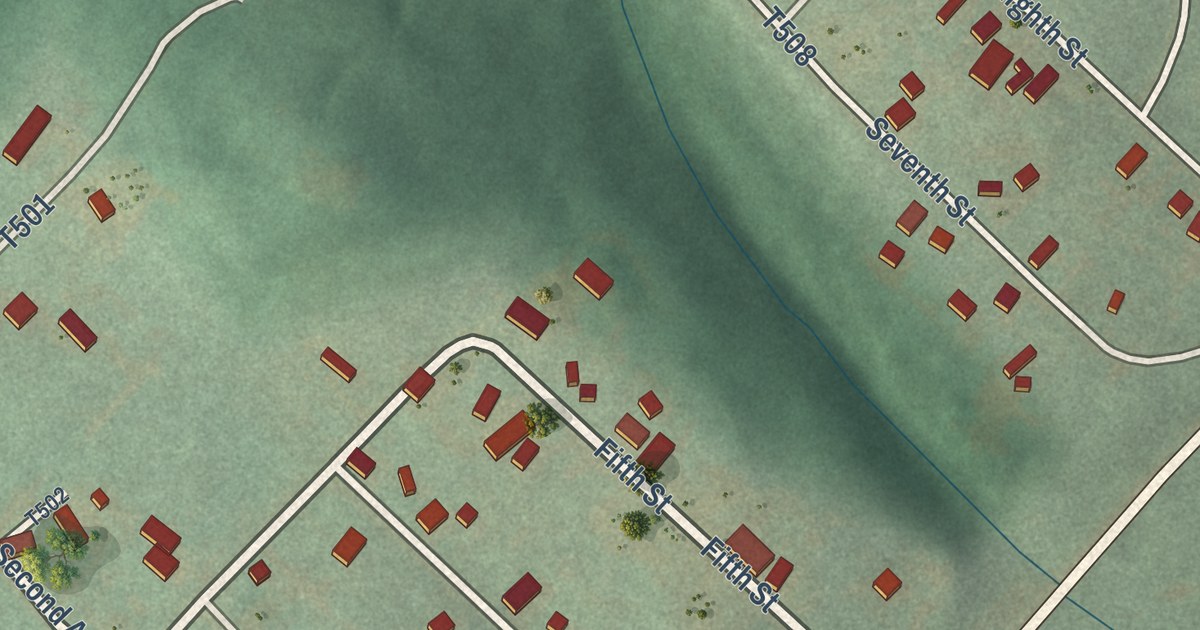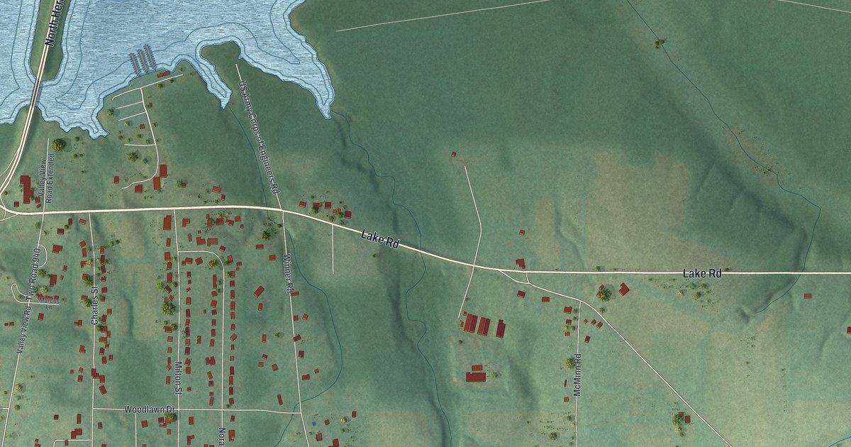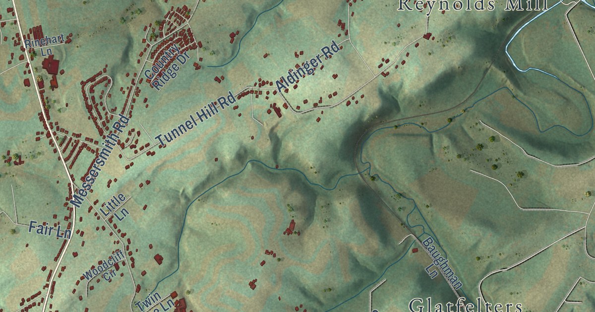
This beautifully detailed map of North Codorus, Pennsylvania was created in 2026 using aerial imagery combined with modern topographical, census, street and landmark data. It’s a one-of-a-kind view of North Codorus that combines accurate data with a vintage aesthetic. The map shows every building in its true location, many of the roads carry their names, and the shaded topographic relief shows the shape of the land.
Explore an aerial view of North Codorus, Pennsylvania
On the map you’ll find Ambau, Cold Spring, Glatfelters, Hanover Junction, Kraft Mill, Lehman, Reynolds Mill, Stoverstown, Strickhousers, and Valley Junction, along with 7 Valleys Road, Seven Valleys Road, and more. If you look closely you can even find your house accurately drawn in its correct location. Zoom in on the preview to look for yours.
Take a closer look at the North Codorus map
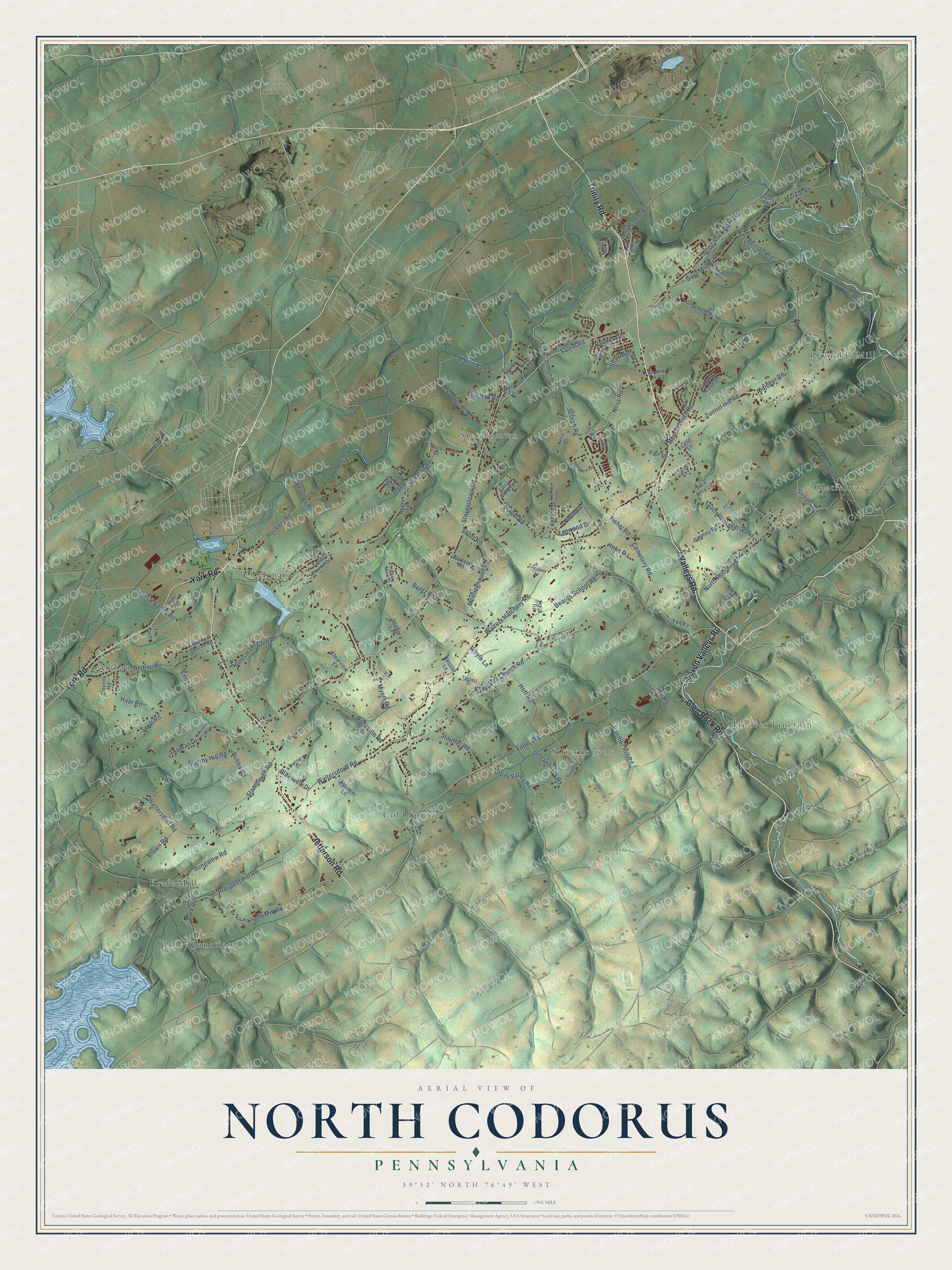
Street and place names on the North Codorus, Pennsylvania map
These names are printed on the map of North Codorus, Pennsylvania.
Places: Hanover Junction, Valley Junction, Reynolds Mill, Cold Spring, Stoverstown, Lehman, Ambau, Glatfelters, Strickhousers and Kraft Mill.
Streets and roads: 7 Valleys Road, Seven Valleys Road, Trinity Road, Jefferson Road, York Road, Glen Rock Road, Indian Rock Dam Road, Salem Road, Stoverstown Road, New Salem Road, Waltersdorff Road, Waltersdorf Road.
More street names, A to Z
Aldinger Lane, Aldinger Road, Ambau Road, Apple Butter Lane, Arnold Road, Bahn Avenue, Baughman Lane, Beards School Road, Bentz Road, Bortner Lane, Brown Road, Brush Valley Road, Bungalow Road, Cedar Drive, Cemetery Road, Cherry Lane, Clearview Lane, Colonial Valley Road, Country Ridge Drive, Days Mill Road, Dubbs Road, Emig Road, Estate Drive, Fair Lane, Federal Road, Field Pointe Drive, Fire Hall Road, Fishel Road, Glatfelters Station Road, Green Valley Road, Grothey Road, Haar Road, Harrold Road, Heindel Road, Henry Lane, Hershey Road, Hickory View Drive, Highpoint Lane, Hoff Road, Hoke Road, Joseph Drive, Joseph Road, Junction Road, Keeney Drive, Keeney Road, Keiser Lane, Kern Drive, Kessler Lane, Krafts Mill Road, Lehman Road, Lehr Lane, Lischeys Church Road, Little John Drive, Little Lane, Long View Drive, Lynwood Drive, Markle Road, Martin Road, Meetinghouse Road, Messersmith Road, Midhill Road, Myers Road, Nace Road, North Rohrbaugh Road, Noss Road, Palmer Avenue, Panther Hill Road, Park Road, Patriot Street, Pine Drive, Pin Oak Drive, Plainview Drive, Porters Road, Prospect Hill Road, Rinehart Lane, Rockery Road, Rockville Road, Senft Road, Sharoden Drive, Sheffer Lane, Short Road, Slagel Road, Smith Hill Road, Smyser Road, Spangler Road, Sportsmans Club Road, Sprenkle Lane, Stambaugh Road, Stauffer Road, Stevens Road, Stormy Hill Road, Strayer Lane, Strickhouser Road, Sunnyside Road, T-518, Taglieri Drive, The Farm, Thoman Drive, Tunnel Hill Road, Twin Arch Road, Twin Pine Lane, Walters Hatchery Road, Whyte Lane, Wildasin Road, Woodcliff Circle, Wood Lane, Zeiglers Church Road.
See the North Codorus, Pennsylvania map on a wall
The North Codorus map as an 18 x 24 inch print in a black frame.

This beautifully detailed map of North Codorus makes an attractive addition to your office, library, or den, and it can even be used to teach children the geography and history of the area. It also makes a great gift for someone who left North Codorus and still calls it home. When you’re done exploring, click here to get your copy of the North Codorus map.