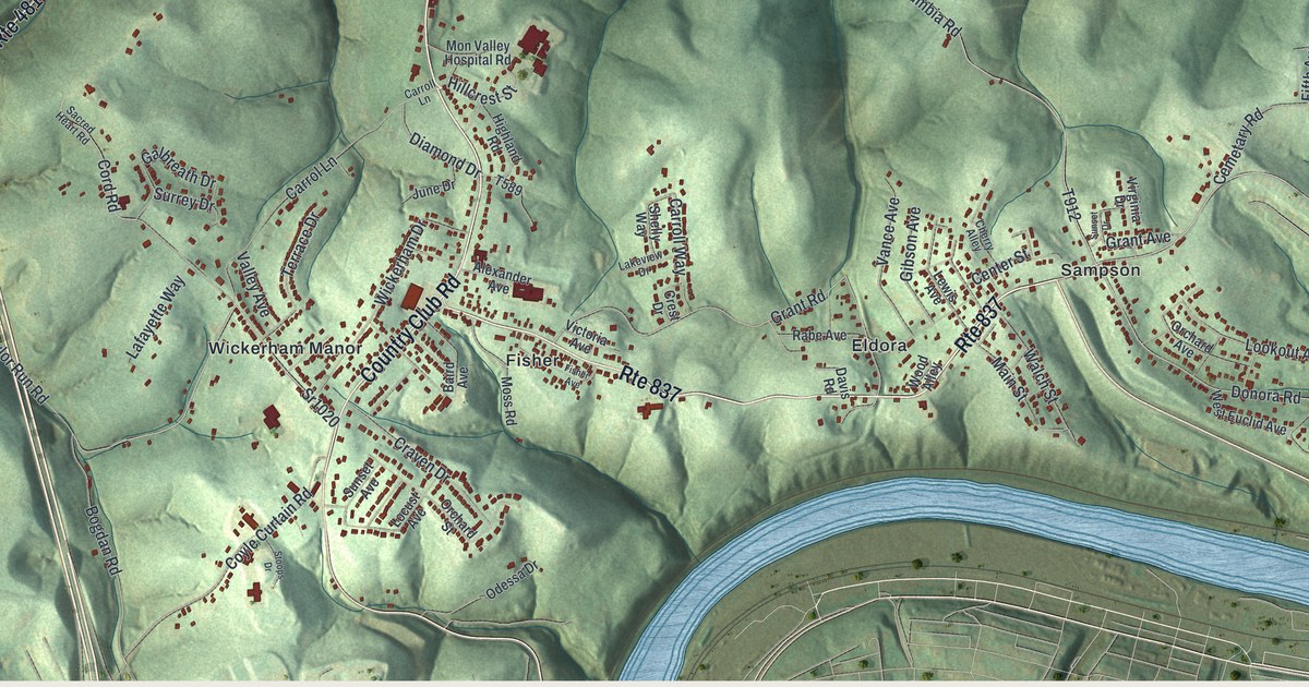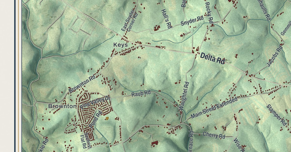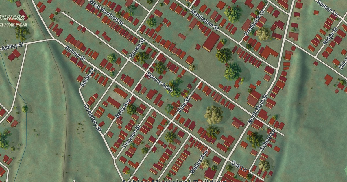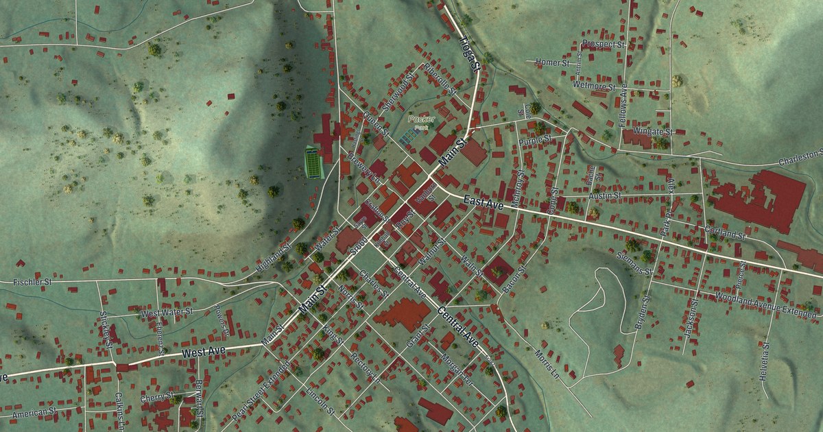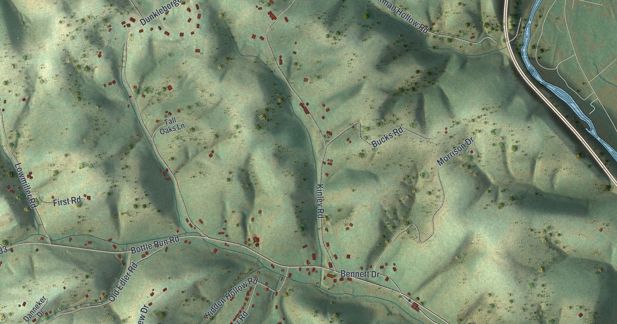
If you grew up in Garden View or Grimesville, or you still drive Bottle Run Road home, this map shows the ground you know. It's a modern aerial view of Old Lycoming Township in Lycoming County, Pennsylvania, made from modern data and finished with a vintage look. Shaded green hills and hollows cover most of the sheet. On the right, a blue creek winds past the busy blocks of Garden View and Woodland Park. Each small red shape is a building.
Garden View, Bottle Run Road and Kinley Road
Lycoming Creek Road runs past Woodland Park and down to Garden View. Mill Lane, Green Avenue, Dewey Avenue and Roosevelt Avenue lay out the blocks there, and Dewey Avenue continues on toward West Hills Estates. In the middle of the map, Bottle Run Road crosses Old Edler Road and Sholder Road. Kinley Road runs north from there to meet Colvin Road and Deckman Hollow Road near the top. Down at the bottom, Grimesville Road crosses Fox Hollow Road on its way into Grimesville. Each red shape is a building, so zoom in on the preview and look for yours.
Williamson Road and Lycoming Creek Road
A Pennsylvania historical marker on Lycoming Creek Road tells the story of Williamson Road. Land agent Charles Williamson built the road from 1792 to 1796 to open the Genesee lands in New York. From Trout Run, it cut through the wilderness to Lawrenceville along much the same route as today's highway. The marker stands in Old Lycoming Township. Lycoming Creek Road is printed along the right side of this map. Look for the road beside Woodland Park and Garden View.
From Garden View to Grimesville
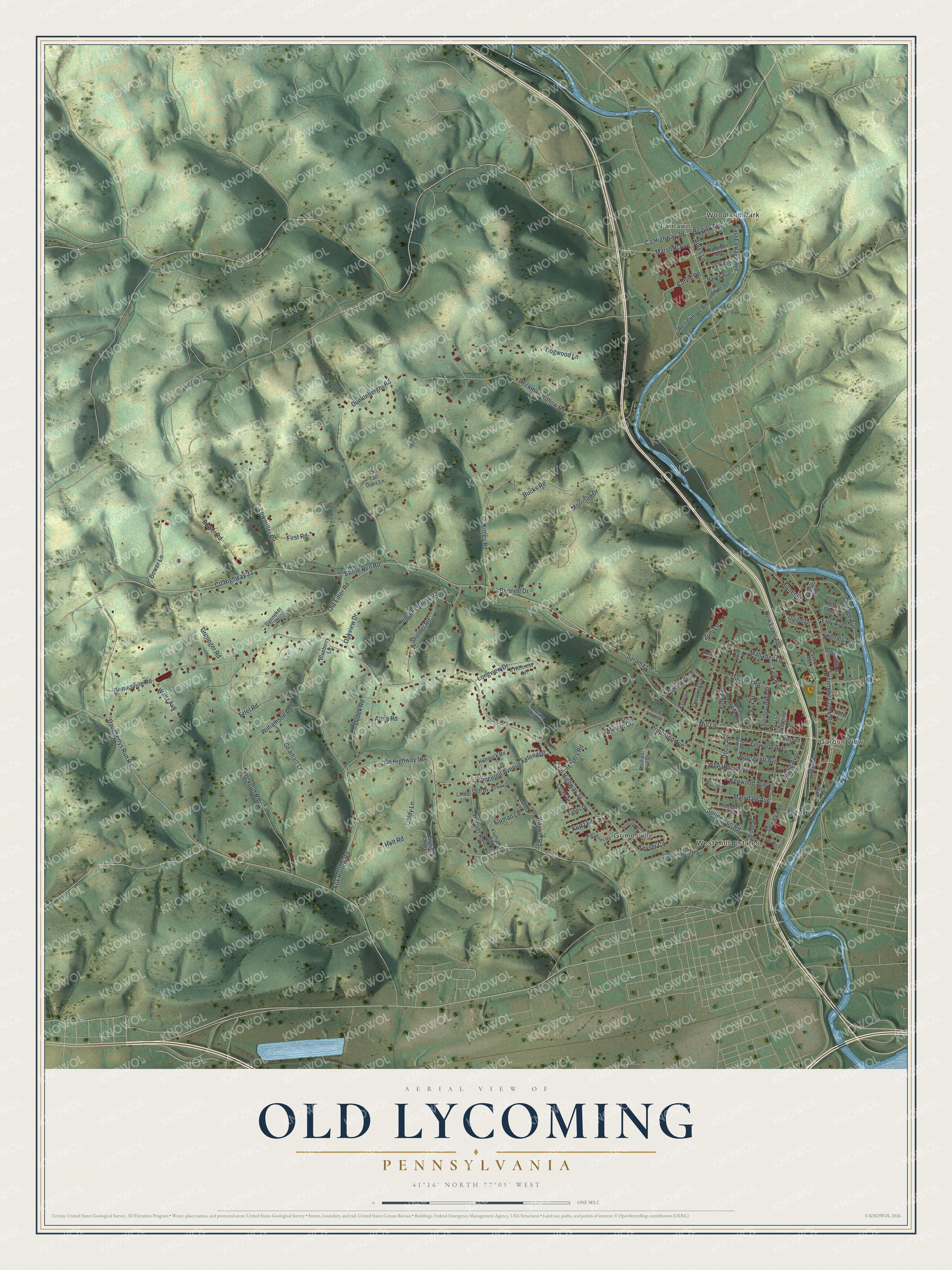
From Garden View, follow Mill Lane west to Princeton Avenue, then take Princeton Avenue on to Grimesville Road and into Grimesville. Created by KNOWOL in 2026, this Old Lycoming map suits a den, an office or a family room. The hills are shaded from USGS elevation data, and the buildings are drawn in deep red. The title panel reads "Aerial View of Old Lycoming, Pennsylvania," with the coordinates 41°16' North, 77°05' West and a one-mile scale bar.
It's a good gift for someone who grew up near Garden View and moved away, or for family with roots out on Kinley Road. Open the preview, zoom in and find the road you know. See sizes and frames for the Old Lycoming map.