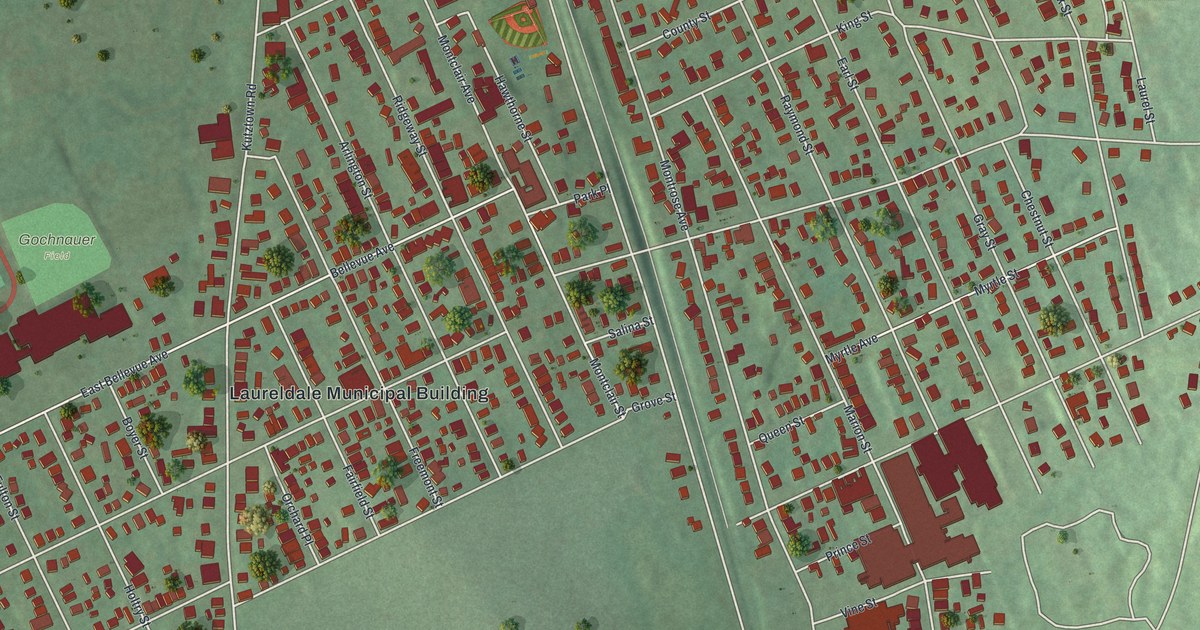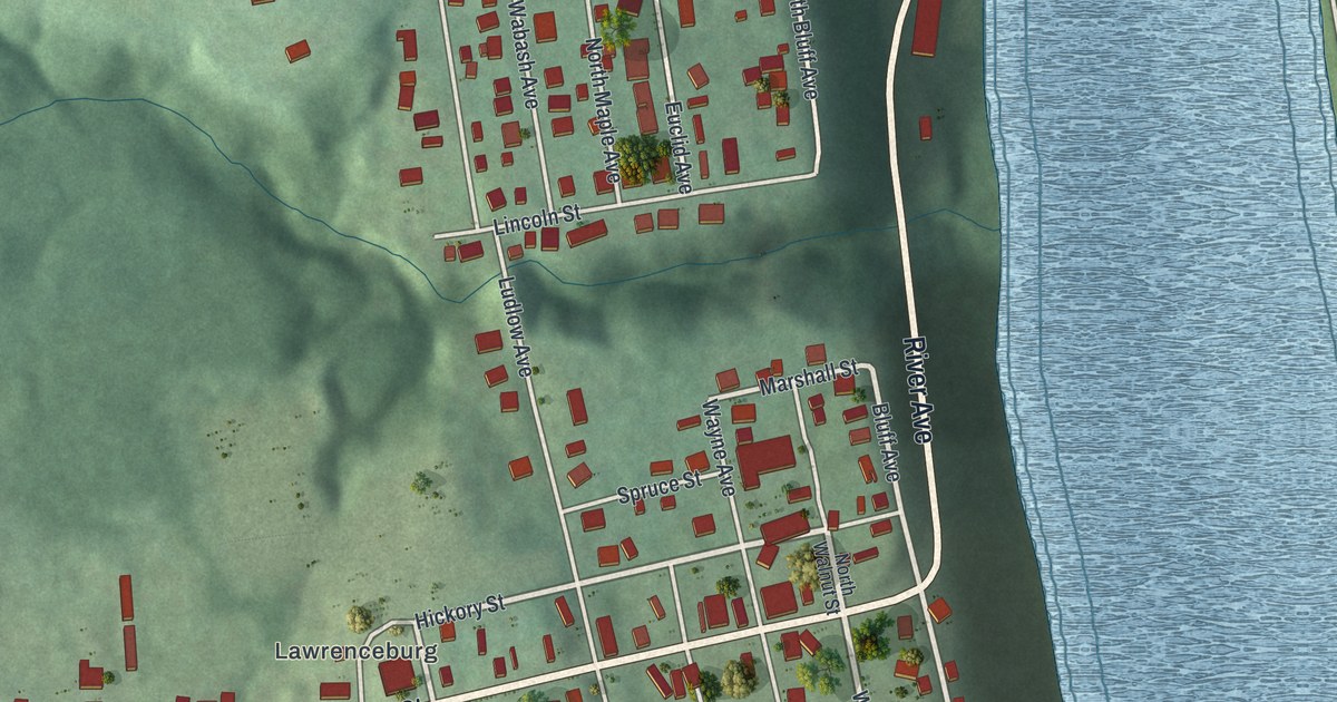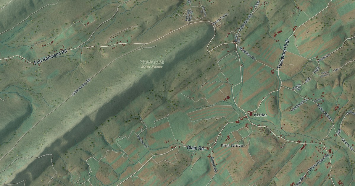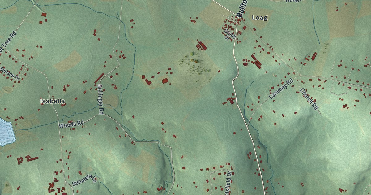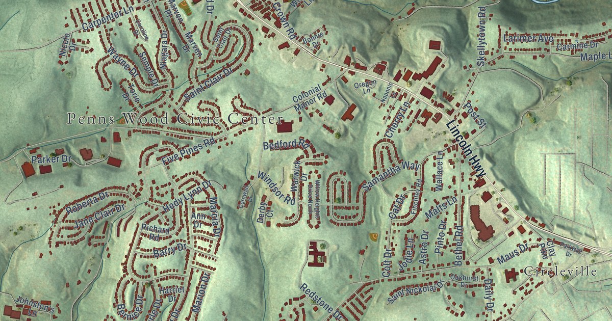
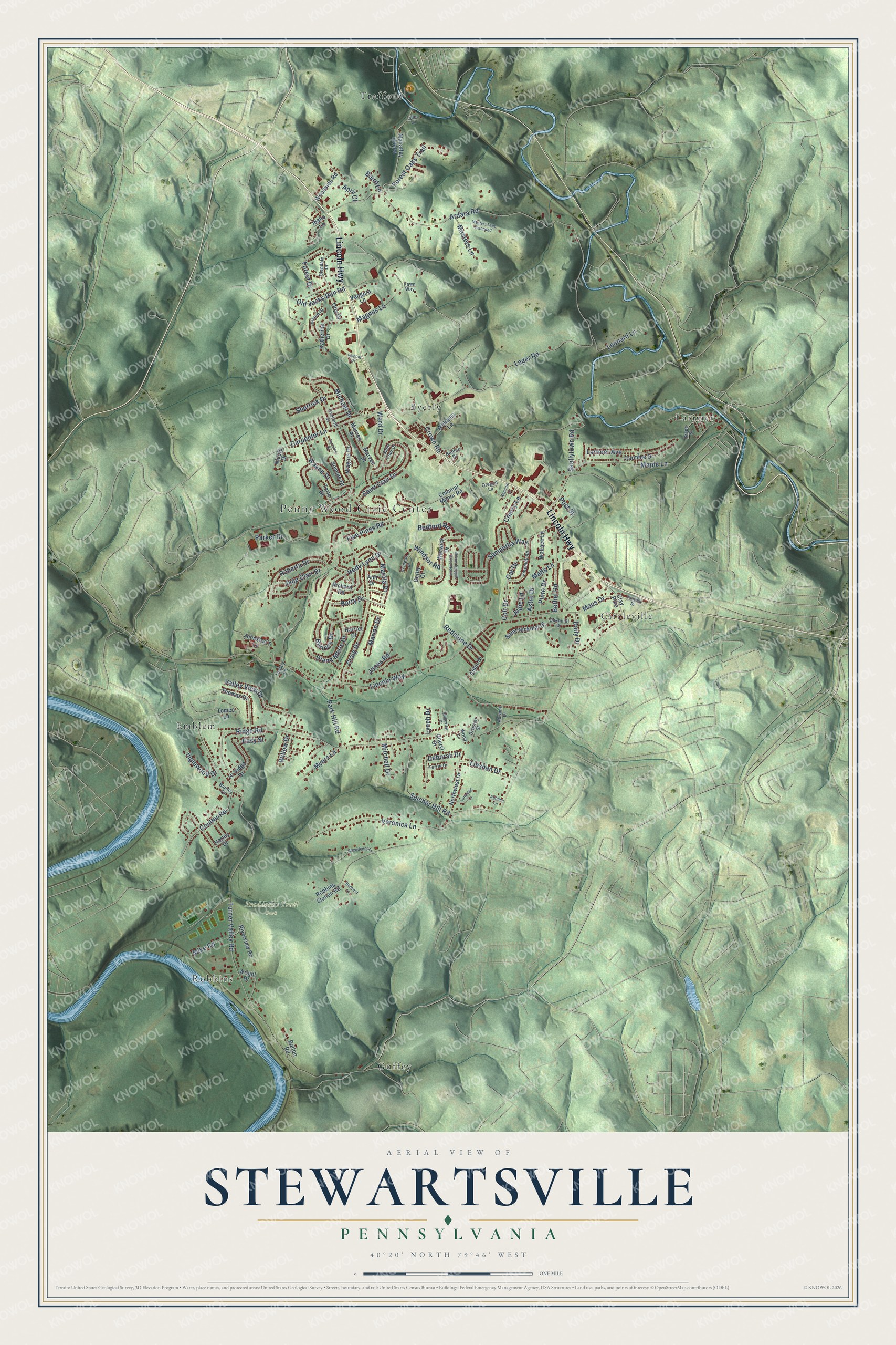
This beautifully detailed map of Stewartsville, Pennsylvania was created in 2026 using aerial imagery combined with modern topographical, census, street and landmark data. It’s a one-of-a-kind view of Stewartsville that combines accurate data with a vintage aesthetic. The map shows every building in its true location, many of the roads carry their names, and the shaded topographic relief shows the shape of the land.
Explore an aerial view of Stewartsville, Pennsylvania
On the map you’ll find Penns Wood Civic Center, Braddock’s Trail Park, Trafford, Larimer, Circleville, Emblem, Byerly, Guffey, and Robbins, along with Lincoln Highway, Old Jacks Run Road, Lincoln Way, and more. If you look closely you can even find your house accurately drawn in its correct location. Zoom in on the preview to look for yours.
Did You Know?
From Internet Archive: "The Jersey faction seceded from the congregation and established a church of their own in Greenwich township, about two miles east of the Delaware, near what is now Stewartsville, Warren County, New Jersey."
Stewartsville is a community in Westmoreland County.
Take a closer look at the Stewartsville map
Names on this map
These names are printed on this map.
Places: Penns Wood Civic Center, Braddock's Trail Park, Trafford, Larimer, Circleville, Emblem, Byerly, Guffey and Robbins.
Streets and roads: Lincoln Highway, Old Jacks Run Road, Lincoln Way, Turner Valley Road, Ridge Road, Leger Road, Ardara Road, Five Pines Road, Maple Lane, Magnus Lane, Hedy Lynn Drive, Samantha Way.
More street names, A to Z
Abrams Drive, Alder Drive, Ann Drive, April Court, Astro Drive, Autumn Lane, Baird Lane, Barry Drive, Bartley Court, Bedford Road, Bernice Drive, Bethel Road, Bolton Road, Bonnie Drive, Carmine Drive, Caroline Drive, Carpenter Lane, Cat Drive, Cherry Lane, Cheryl Drive, Clay Pike, Colonial Manor Road, Colt Drive, Cornwall Drive, Coulter Road, Craig Drive, Crown Road, Daily Drive, Deborah Drive, Derby Court, Diane Merle Drive, Division Street, Easy Street, Fawn Way, Finchley Road, Forest Drive, Forest Oaks Trail, Glendale Drive, Grape Street, Harley Drive, Harriet Drive, Hiland Place, Hi Ridge Drive, Idaho Lane, Inglewood Drive, Jane Clair Drive, Jodie Lane, Johnston's Lane, Jones Road, Katherine Drive, Lamont Drive, Larimer Avenue, Leonard Lane, Liller Lane, Linshan Drive, Lonestar Lane, Lynch Drive, Mahaffey Hill Road, Malts Lane, Marcia Drive, Marion Drive, Marven Drive, Marven Place, Masters Lane, Masters Lane Extended, Maus Drive, Michael Drive, Mike Road, Mitchell Drive, Myers Lane, Naponic Lane, Niagara Drive, Nicole Drive, Northwest Drive, Oakhurst Drive, Oregon Lane, Otis Drive, Overholt Drive, Parker Drive, Park Hill Road, Parkway Drive, Pinto Drive, Post Street, Providence Lane, Redstone Drive, Richard Road, Ridgeview Drive, Riverview Road, Robbins Station Road, Roberta Drive, Saint Clair Drive, Saint Nickolai Drive, Semple Drive, Sherrick Drive, Skellytown Road, Spicher Hill Road, Stanyard Lane, Terrie Drive, Thomas Drive, Tomco Lane, Torie Drive, Tussey Lane, Valley View Drive, Vangura Lane, Veronica Lane, Wallace Lane, Ward Drive, Warwick Drive, Wayne Drive, Williams Lane, Willow Drive, Willow Heights Drive North, Windsor Road, Wood Lane, Woodside Road, Wright Drive.
See it on a wall
The Stewartsville map as a framed print. Swipe for more.


This beautifully detailed map of Stewartsville makes an attractive addition to your office, library, or den, and it can even be used to teach children the geography and history of the area. It also makes a great gift for someone who left Stewartsville and still calls it home. When you’re done exploring, click here to get your copy of the Stewartsville map.