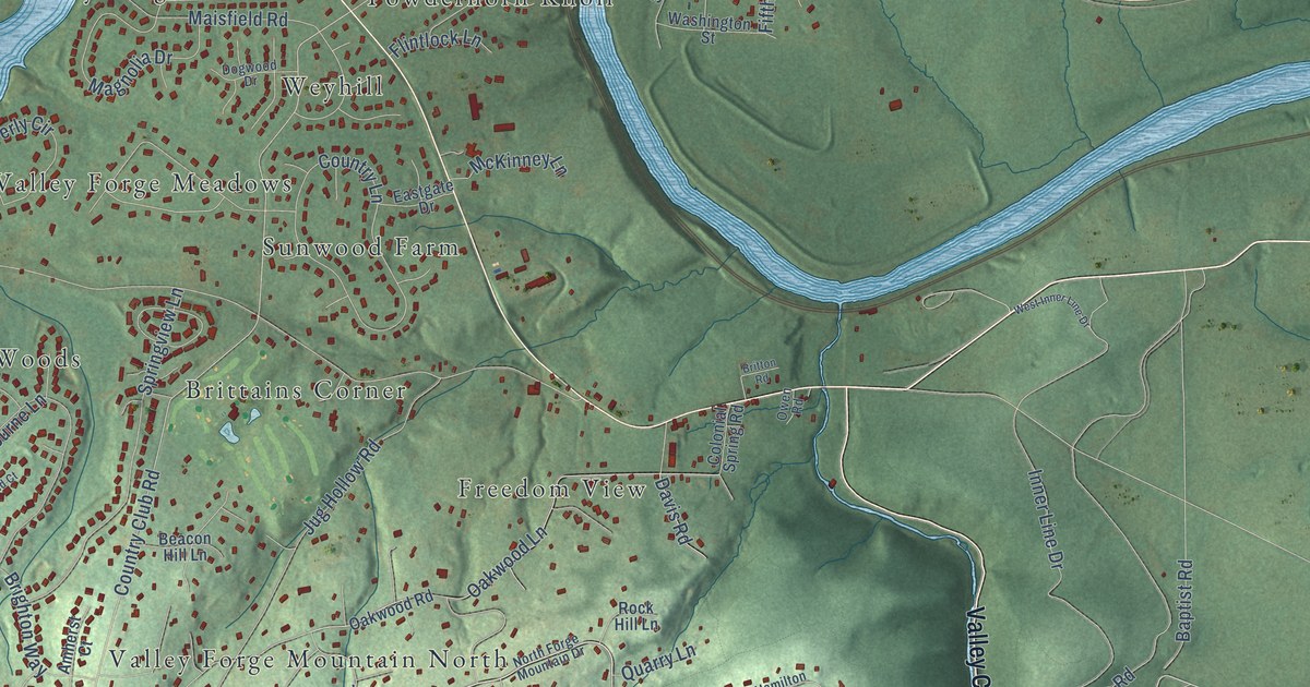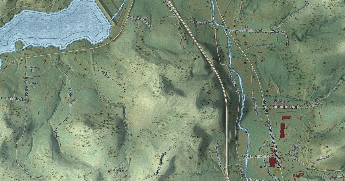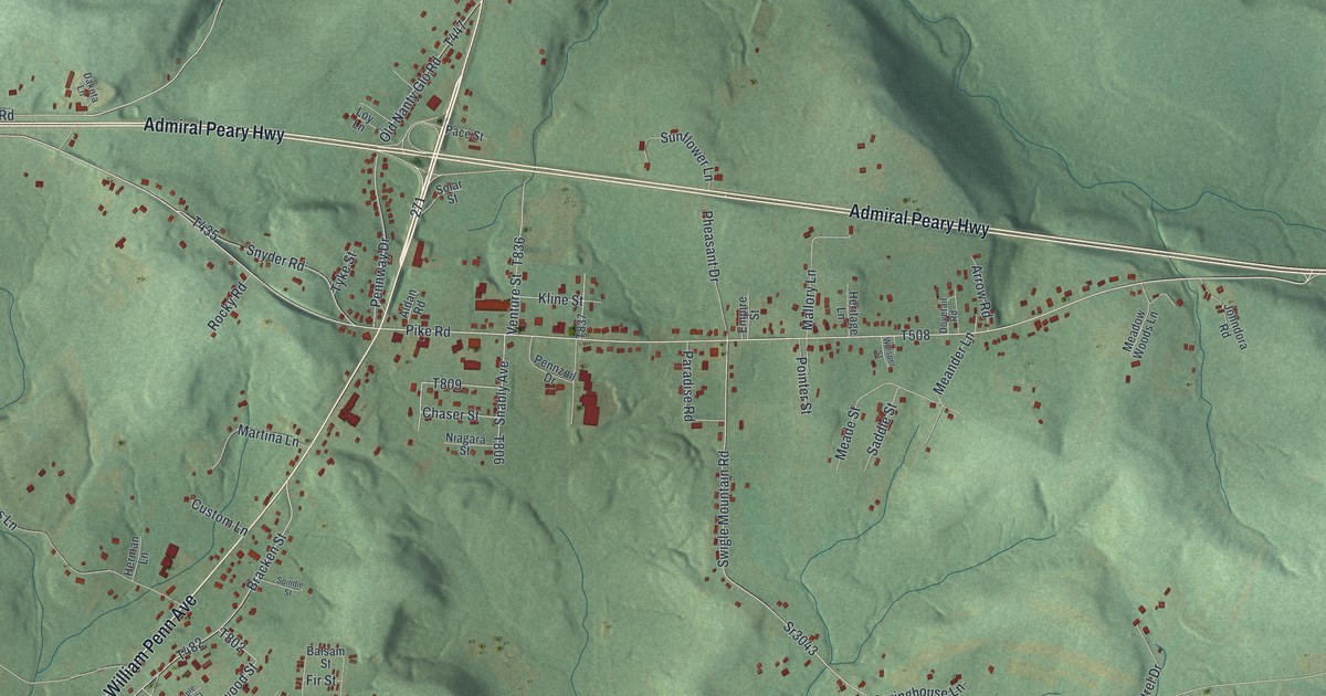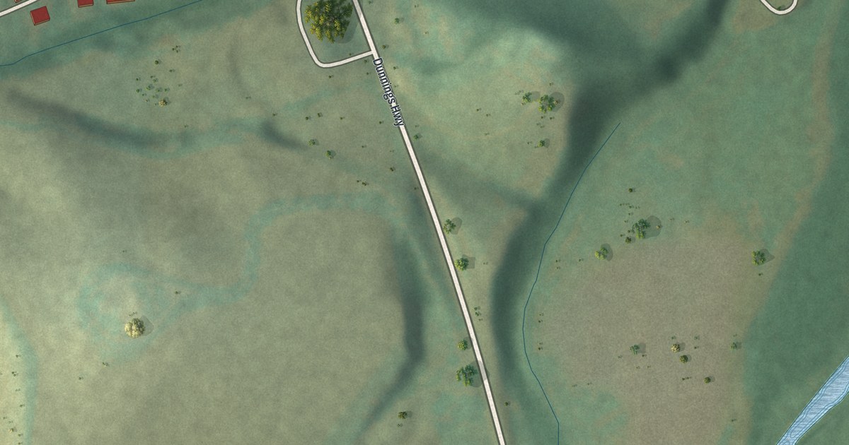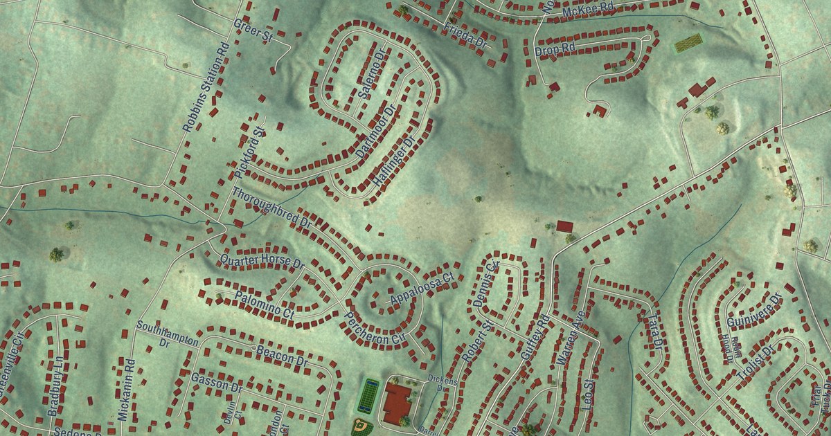
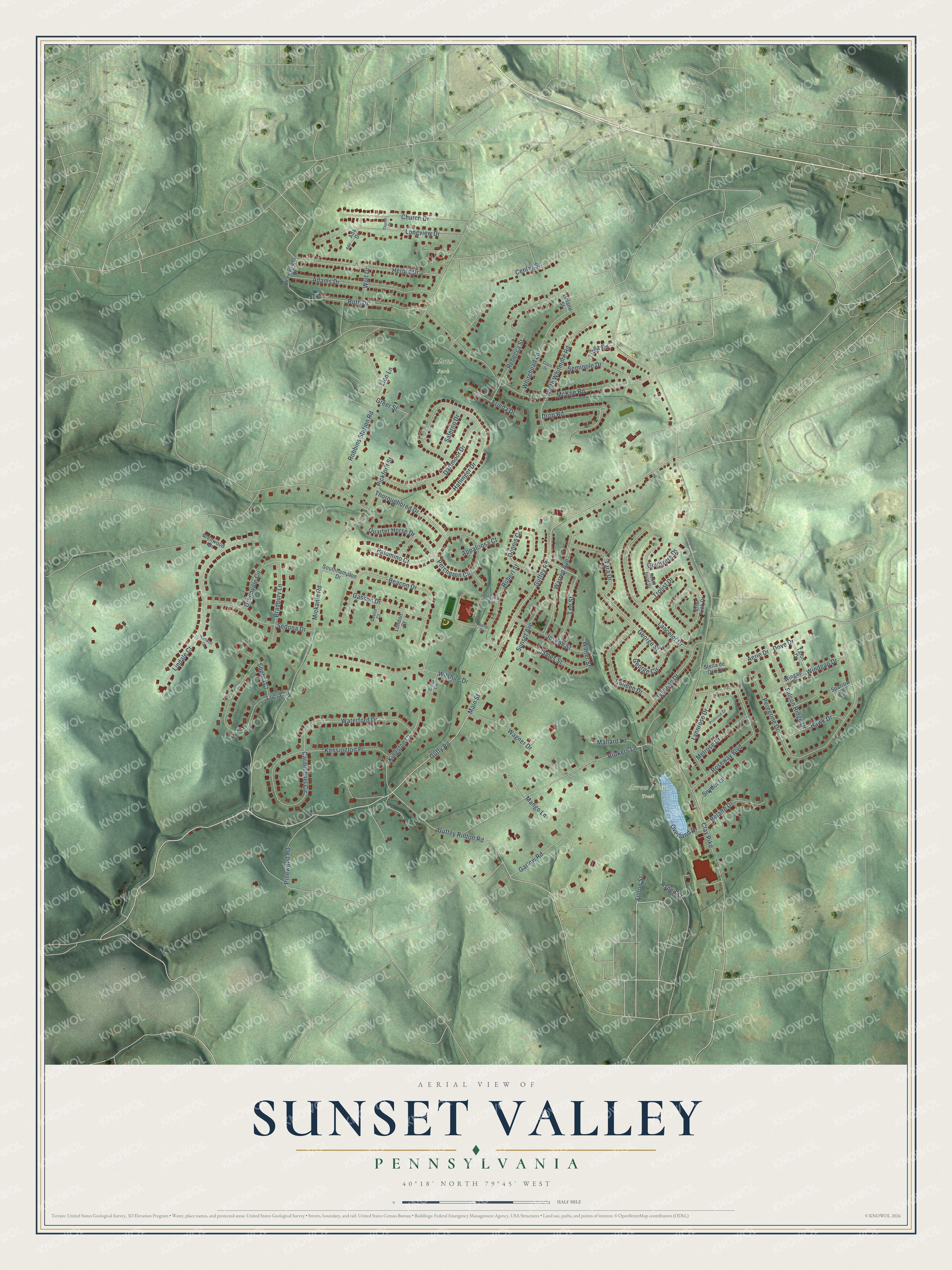
This beautifully detailed map of Sunset Valley, Pennsylvania was created in 2026 using aerial imagery combined with modern topographical, census, street and landmark data. It’s a one-of-a-kind view of Sunset Valley that combines accurate data with a vintage aesthetic. The map shows every building in its true location, many of the roads carry their names, and the shaded topographic relief shows the shape of the land.
Explore an aerial view of Sunset Valley, Pennsylvania
On the map you’ll find Lions Park, along with Arrow / Bow Trail, Guffey Road, Guffey Rillton Road, Main Street, Clay Pike, Mickanin Road, Robbins Station Road, McKee Road, Peregrine Drive, Haflinger Drive, Brokers Lane, and more. If you look closely you can even find your house accurately drawn in its correct location. Zoom in on the preview to look for yours.
Take a closer look at the Sunset Valley map
Names on this map
These names are printed on this map.
Places: Lions Park.
Streets and roads: Guffey Road, Guffey Rillton Road, Main Street, Clay Pike, Mickanin Road, Robbins Station Road, McKee Road, Peregrine Drive, Haflinger Drive, Brokers Lane, Lindale Court, Wilshire Drive.
More street names, A to Z
Ada, Ada Drive, Adams Drive, Aerie Drive, Appaloosa Court, Aspen Street, Beacon Drive, Belaire Drive, Bradbury Lane, Carmichael Circle, Center Street, Church Drive, Cipra Lane, Clara Drive, Colleen Drive, Darrel Drive, Dartmoor Drive, Delano Street, Dennis Circle, Devlin Court, Dickens Drive, Dove Drive, Drop Road, Falcon Ridge Drive, Friar Tuck Drive, Frieda Drive, Fulton Street, Garlow Road, Gasson Drive, George Circle, George Street, Glenwood Drive, Greenville Circle, Greer Street, Guffy Road, Guinivere Drive, Hartwell Court, Hawk Drive, Herold Drive, Ivanhoe Drive, James Street, Joseph Street, Kensington Place, Kingston Court, Lancelot Drive, Leo Street, Lion Lane, London Court, Longview Drive, Lucia Lane, Lynnrose Drive, Mallard Lane, Mango Lane, Melrose Drive, North Whitmore Road, Overland Drive, Palomino Court, Percheron Circle, Pickford Street, Pinewood Road, Primrose Drive, Quarter Horse Drive, Rebecca Street, Robert Street, Robin Hood Drive, Roseway Boulevard, Roth Drive, Salerno Drive, Sedona Drive, Seminole Drive, Snyder Lane, Sophia Court, Southhampton Drive, Sparrow Lane, Stella de Oro Court, Sunset Avenue, Talon Drive, Tara Drive, Thoroughbred Drive, Thurlin Drive, Tioga Road, Trolist Drive, Wagner Drive, Wainwright Drive, Walter Street, Warren Avenue, Waterford Drive, Whitehead Lane, Windgap Drive, Wingap Drive, Wolf Drive.
See it on a wall
The Sunset Valley map as a framed print. Swipe for more.


This beautifully detailed map of Sunset Valley makes an attractive addition to your office, library, or den, and it can even be used to teach children the geography and history of the area. It also makes a great gift for someone who left Sunset Valley and still calls it home. When you’re done exploring, click here to get your copy of the Sunset Valley map.