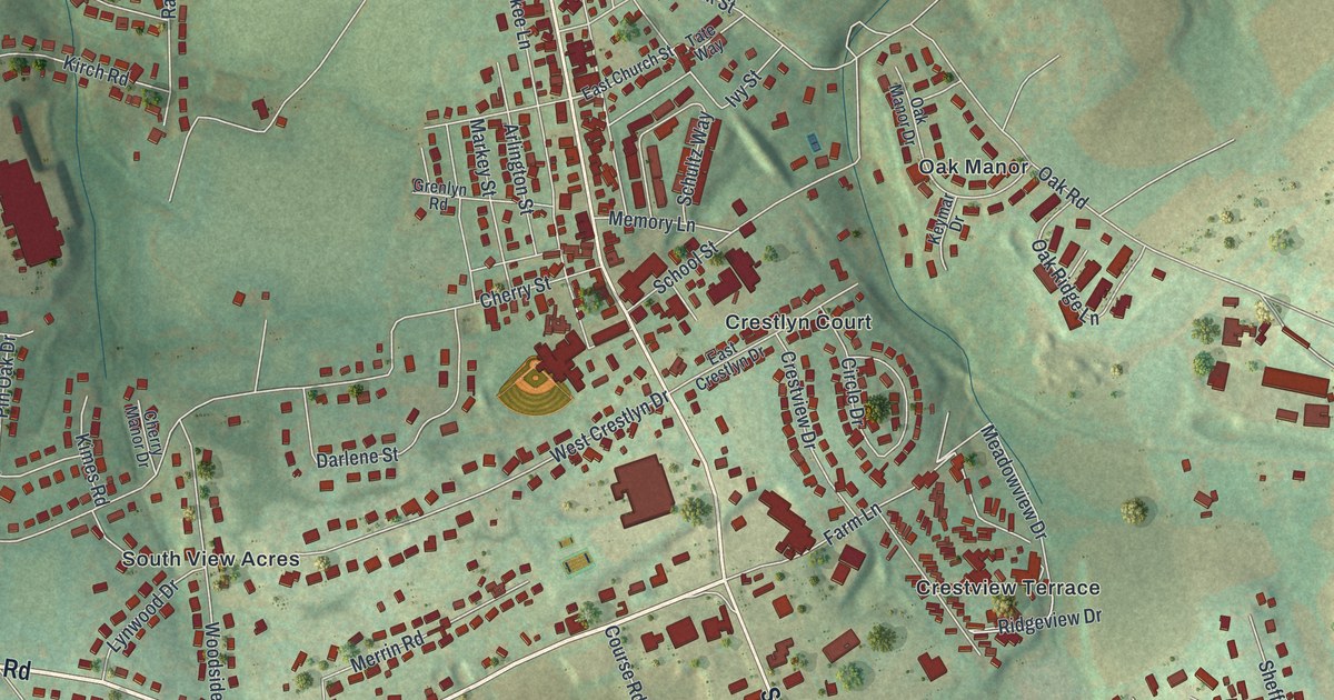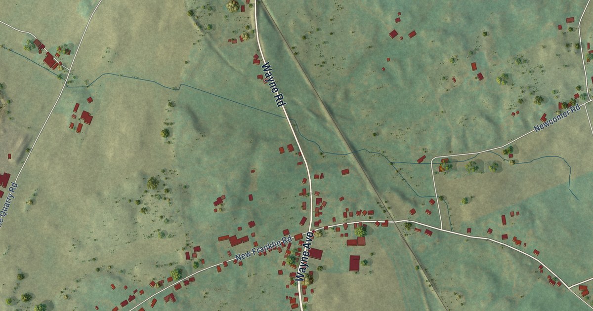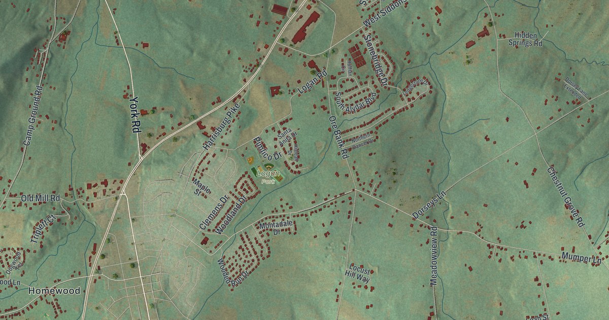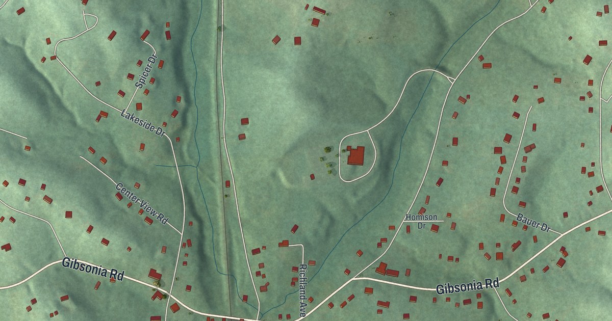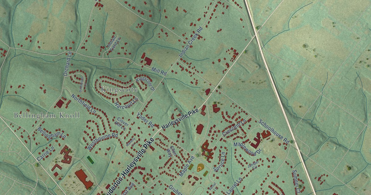
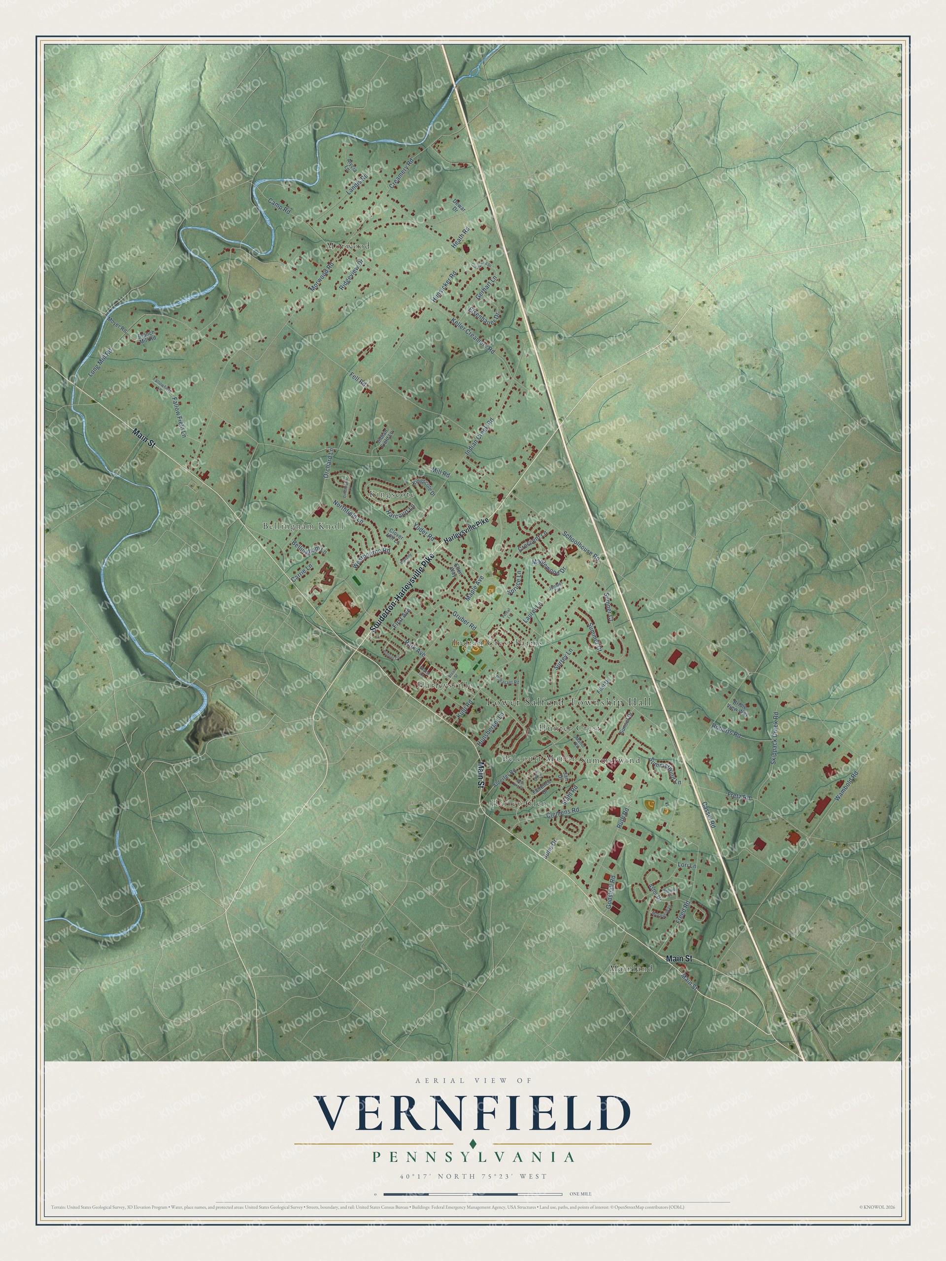
This beautifully detailed map of Vernfield, Pennsylvania was created in 2026 using aerial imagery combined with modern topographical, census, street and landmark data. It’s a one-of-a-kind view of Vernfield that combines accurate data with a vintage aesthetic. The map shows every building in its true location, many of the roads carry their names, and the shaded topographic relief shows the shape of the land.
Explore an aerial view of Vernfield, Pennsylvania
On the map you’ll find Lower Salford Township Hall, Morwood, Kingscote, Mainland, Summerwind, Indian Crest Farms, Bellingham Knoll, Harley Glen, Hunter Crest, Harleysville, and Belcourt Manor, along with Main Street, and more. If you look closely you can even find your house accurately drawn in its correct location. Zoom in on the preview to look for yours.
Take a closer look at the Vernfield map
Names on this map
These names are printed on this map.
Places: Lower Salford Township Hall, Morwood, Kingscote, Mainland, Summerwind, Indian Crest Farms, Bellingham Knoll, Harley Glen, Hunter Crest, Harleysville and Belcourt Manor.
Streets and roads: Main Street, Souderton-Harleysville Pike, Yoder Road, Ruth Road, Morwood Road, Hunsicker Road, Park Avenue, Indian Creek Road, Clemens Road, Keller Creamery Road, Cassel Road, Mill Road.
More street names, A to Z
Alderfer Road, Alycia Lane, Astor Drive, Bellingham Lane, Beth Ann Drive, Branch Mill Road, Brenton Circle, Bridle View Way, Broad Street, Camp Road, Carrie Lane, Clover Hill Lane, Creamery Road, Crescent Lane, Crestwood Drive, Danny Lane, Dewar Drive, Dorchester Lane, Eisenhauer Drive, Ellen Way, Fallow Field Lane, Fallowfield Lane, Fell Road, First Avenue, Flint Drive, Florence Drive, Freed Road, Fretz Road, Gerhart Lane, Godshall Road, Grace Lane, Gruber Road, Harcourt Lane, Harleysville Pike, Heath Road, Hunsberger Lane, Indian Field Lane, Jan Drive, June Drive, Juniper Circle, Kingscote Drive, Kulp Road, Landis Road, Laurel Lane, Long Mill Road, Lori Lane, Manor Road, Maple Avenue, Maplewood Drive, Morgan Way, Moyer Road, Northfield Lane, Orchard Lane, Pheasant Road, Pioneer Circle, Ridgeview Drive, Roberts Road, Schoolhouse Road, Skippack Creek Road, Spruce Lane, Stahl Road, Summer Court, Summerwind Lane, Sumner Court, Sunset Drive, Surrey Lane, Vernal Lane, Wambold Road, Waverly Lane, Westbourne Road.
See it on a wall
The Vernfield map as a framed print. Swipe for more.


This beautifully detailed map of Vernfield makes an attractive addition to your office, library, or den, and it can even be used to teach children the geography and history of the area. It also makes a great gift for someone who left Vernfield and still calls it home. When you’re done exploring, click here to get your copy of the Vernfield map.