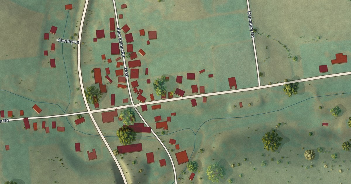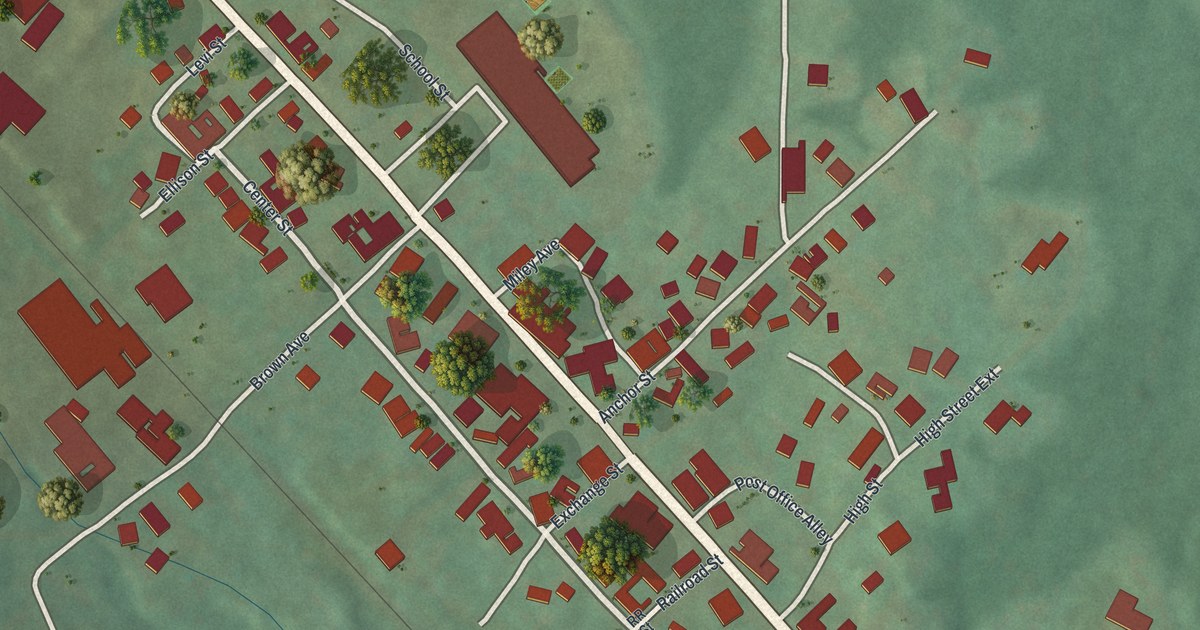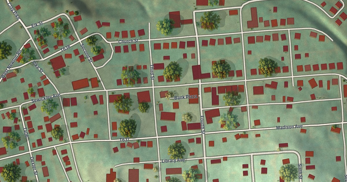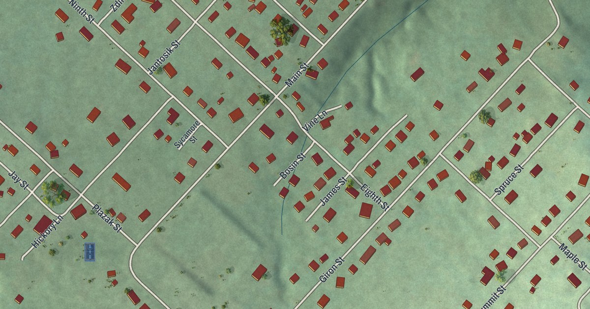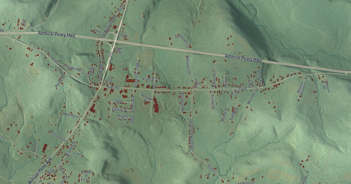
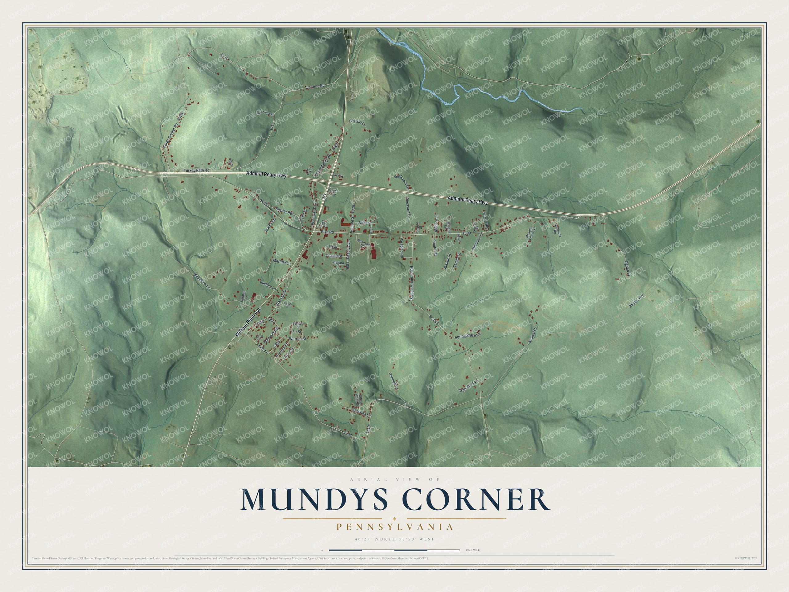
This beautifully detailed map of Mundys Corner, Pennsylvania was created in 2026 using aerial imagery combined with modern topographical, census, street and landmark data. It's a modern aerial view of Mundys Corner in Cambria County, Pennsylvania, that combines modern data with a vintage aesthetic. The roads feature printed names, and if you look closely you can find your exact house accurately shown in its correct location.
Explore an aerial view of Mundys Corner, Pennsylvania
On this map you'll find William Penn Avenue, Admiral Peary Highway, Pike Road, Fords Corner Road, Warrior Street, T815, T715, Bracken Street, T508, Adams Avenue, T437, Sr3043, and more. Each red shape is a building, so zoom in on the preview and look for yours.
Here is a piece of Mundys Corner history. Mundys Corner was named for the Mundy family of pioneers. The Pennsylvania Department of Highways marked the village with one of its Keystone markers, which still tells passersby how the village got its name. That's from the Historical Marker Database.
Mundys Corner is a community in Cambria County. The Census Bureau counted 1,532 people here in 2020.
Take a closer look at the Mundys Corner map
Names on this map
These names are printed on this map.
Streets and roads: William Penn Avenue, Admiral Peary Highway, Pike Road, Fords Corner Road, Warrior Street, Bracken Street, Adams Avenue, Sr3043, Swigle Mountain Road, Turkey Path Road, Leidy Lane, Loraine Road.
More street names, A to Z
Aldan Road, Arrow Road, Balsam Street, Cee Jay Lane, Chaser Street, Cherry Wood Drive, Custom Lane, Dakota Lane, Dovetail Road, Dry Run Street, Empire Street, Fir Street, Gaboda Lane, Greenfield Lane, Heritage Lane, Herman Lane, Johndora Road, Kestrel Drive, Kline Street, Loy Lane, Mallory Lane, Maple Leaf Street, Martina Lane, Maywood Street, Meade Street, Meadow Woods Lane, Meander Lane, Niagara Street, Ogden Street, Old Nanty Glo Road, Pace Street, Paradise Road, Pennway Drive, Pennzoil Drive, Pheasant Drive, Pointer Street, Rocky Road, Saddle Street, Sheffield Street, Simmons Lane, Snably Avenue, Snyder Road, Solar Street, Spindle Street, Springhouse Lane, Sunflower Lane, Trout Street, Tyke Street, Venture Street, Whisper Street, Zurenda Lane.
See it on a wall
The Mundys Corner map as a framed print. Swipe for more.


Created by KNOWOL in 2026. The buildings are small red shapes, the roads carry their printed names, and shaded relief shows the shape of the land. The title panel reads "AERIAL VIEW OF MUNDYS CORNER, PENNSYLVANIA" with 40°27' NORTH 78°50' WEST.
It suits a den, a classroom or a front hall, and it makes a gift for anyone with Mundys Corner roots. Open the preview and find the block you know. See sizes and frames for the Mundys Corner map.