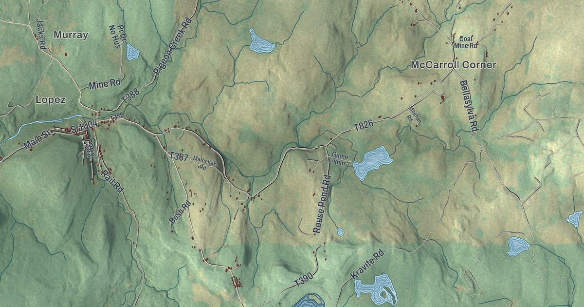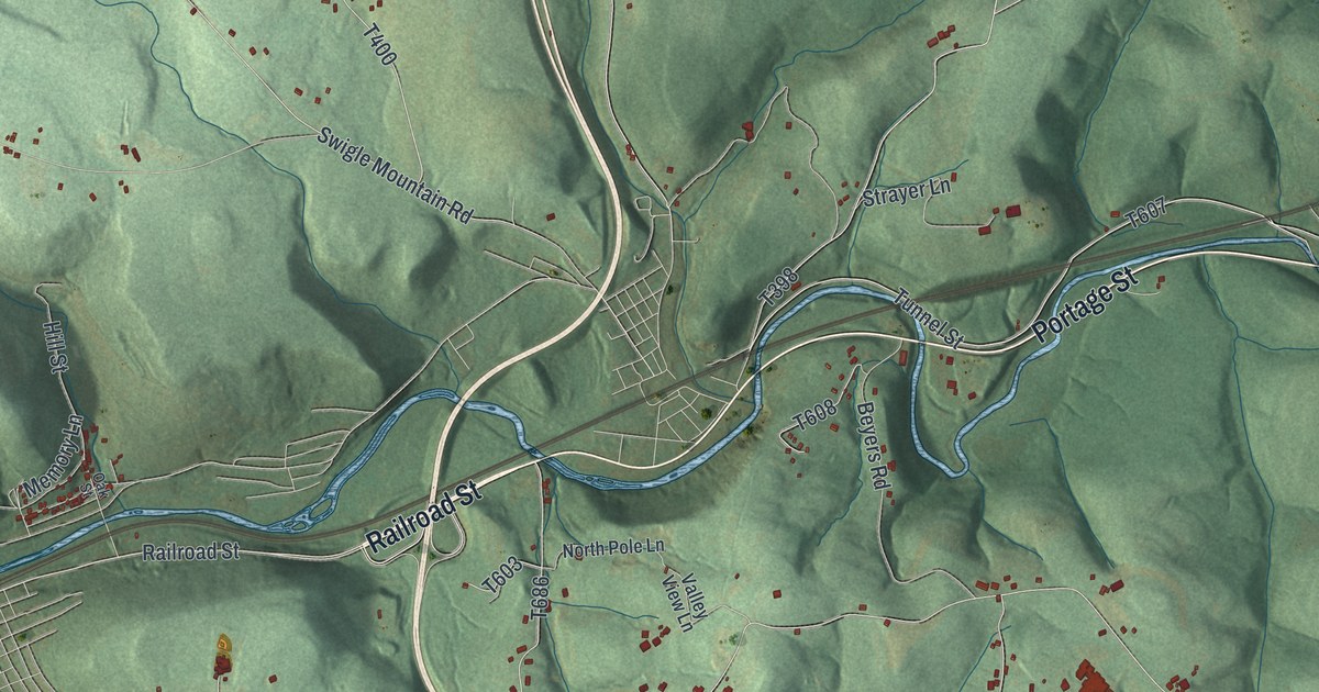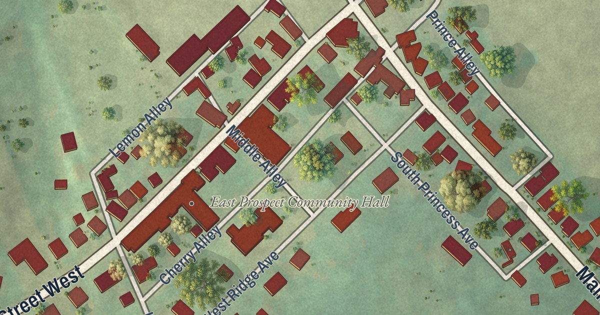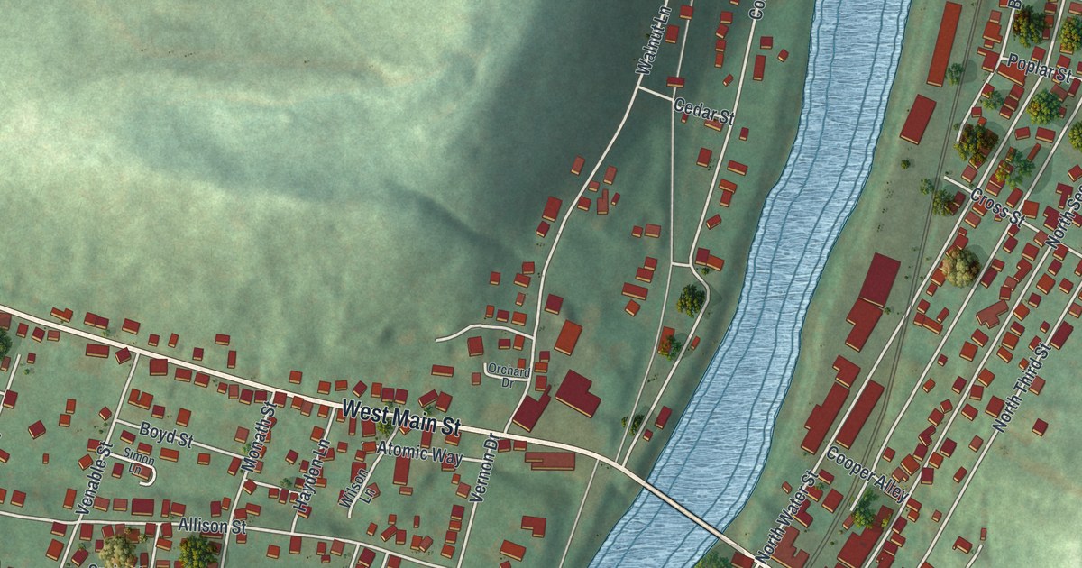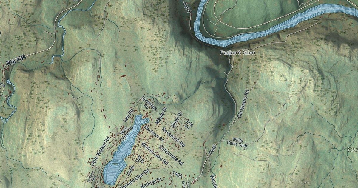
This beautifully detailed map of Shohola, Pennsylvania was created in 2026 using aerial imagery combined with modern topographical, census, street and landmark data. It’s a one-of-a-kind view of Shohola that combines accurate data with a vintage aesthetic. The map shows every building in its true location, many of the roads carry their names, and the shaded topographic relief shows the shape of the land.
Explore an aerial view of Shohola, Pennsylvania
On the map you’ll find Shohola Falls, State Game Lands Number 116, State Game Lands Number 180, State Game Lands Number 209, Parkers Glen, Pond Eddy, Sagamore Estates, and T-397, along with Grand Army of the Republic Highway, Don Drive, and more. If you look closely you can even find your house accurately drawn in its correct location. Zoom in on the preview to look for yours.
Did you know this piece of Shohola, Pennsylvania history?
From the Pennsylvania Historical and Museum Commission: "On July 15, 1864, an Erie Railroad train carrying 833 Confederate prisoners and 128 Union guards to the prison camp at Elmira, N.Y., collided with a coal train between Shohola and Lackawaxen. About 48 prisoners and 17 guards were killed. Survivors, both injured and uninjured, were brought to Shohola where they were generously cared for by residents of the village."
Take a closer look at the Shohola map
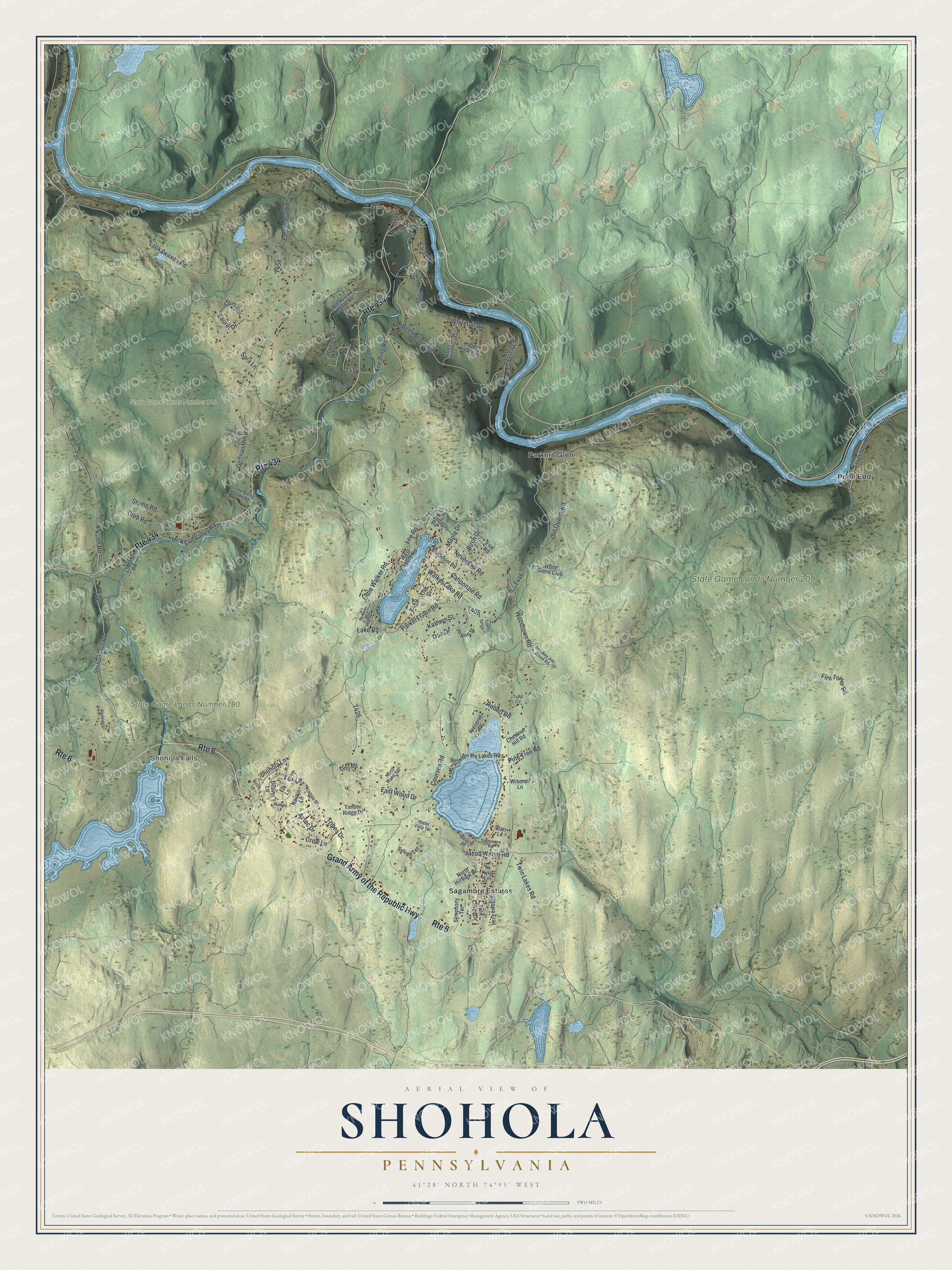
Street and place names on the Shohola, Pennsylvania map
These names are printed on the map of Shohola, Pennsylvania.
Places: Shohola Falls, State Game Lands Number 116, State Game Lands Number 180, State Game Lands Number 209, Parkers Glen, Pond Eddy and Sagamore Estates.
Streets and roads: Route 434, Grand Army of the Republic Highway, Route 6, Don Drive, T-397, Twin Lakes Road, Parkers Glen Road, Little Walker Road, Lackawaxen Road, German Hill Road, Fire Tower Road, East Wood Drive.
More street names, A to Z
Arapajo Drive, Aztec Drive, Beach Place, Beaver Lane, Bee Hollow Road, Between the Lakes Road, Birch Drive, Birch Lane, Blackfoot Road, Cahoonzie Road, Chestnut Hill Road, Chets Lane, Club Road, Cold Spring Lake Road, Coursen Road, Crow Lane, Crystal Spring Court, Elk Lane, Erie Road, Flagstone Road, Fox Lane, Gabriel Way, Glen Drive, Happy Hollow, Happy Hollow Drive, Jacob Weber Road, Jo Ann Street, Joyce Lane, Kara Lane, Kathryn Street, Knealing Road, Kuhn Road, Kyra Lane, Lake Road, Laurel Circle, Laurel Drive, Lee Road, Lily Pond Drive, Lodge Road, Mallard Lane, Maple Drive, McKean Valley Road, Navajo Lane, Neversink Road, No Name Boulevard, North Hillview Drive, North Wynd Terrace, Oak Drive, Old Quarry Road, Onandaga Road, Ottawa Trail, Otto Road, Panther Brook Road, Partridge Lane, Petsch Lane, Pine Tree Road, Preserve Drive, Robert Road, Rockview Manor Road, Sagamore Road, Sara Lane, Shohola Falls Road, Shohola Lane, Smokey Joe Wood Road, Stair Lane, Stump Road, Sylvan Terrace, Symphony Terrace, T-413, T-430, Timber Ridge Drive, Tribes Drive, Tulip Circle, Twin Lakes Drive, Walker Lake Road, Water Vista Terrace, West Shore Road, White Game Club, Whitetail Drive, Wisener Lane, Woodlee Road, Woodtown Road, Worzel Road.
See the Shohola, Pennsylvania map on a wall
The Shohola map as an 18 x 24 inch print in a black frame.

This beautifully detailed map of Shohola makes an attractive addition to your office, library, or den, and it can even be used to teach children the geography and history of the area. It also makes a great gift for someone who left Shohola and still calls it home. When you’re done exploring, click here to get your copy of the Shohola map.