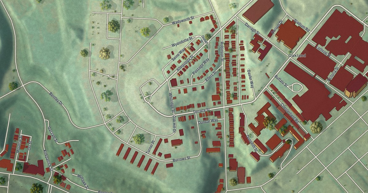
If you grew up in West Oakland, look for your old street on this print. This aerial view of West Oakland in Allegheny County, Pennsylvania pairs modern data with a vintage feel. Red buildings stand out against soft green hills. Small rows of homes sit near much larger blocks around Oakland.
Terrace Street and West Oakland's familiar blocks
On this map you'll find Fifth Avenue, Terrace Street, Robinson Street, Darragh Street, Desoto Street, Lothrop Street, Allequippa Street, Dunseith Street, Burrows Street, Oak Hill Drive, Oakland, and more. Each red shape is a building, so zoom in on the preview and look for yours.
Terrace Street also gives this view a link to a far-reaching medical story. The Salk Polio Vaccine marker stands at Salk Hall on that street. Its text recalls the world's first polio vaccine, developed by researchers led by Dr. Jonas Salk. The breakthrough was announced on April 12, 1955. Children later received the vaccine through school inoculations. By 1962, those efforts had nearly wiped out polio in the United States. It's a story to share while finding Terrace Street on the print.
Keep West Oakland close
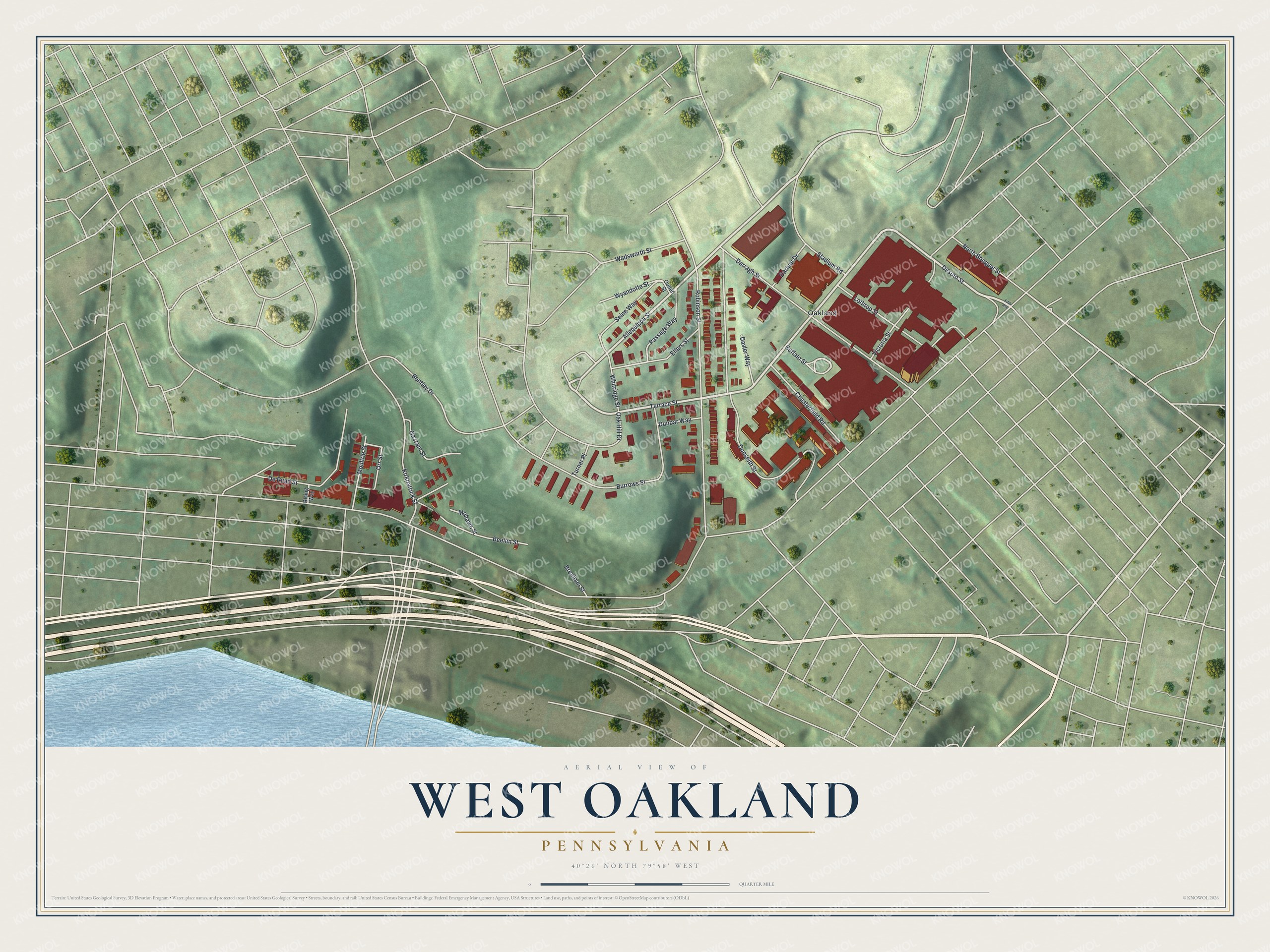
Created by KNOWOL in 2026, this print has soft green terrain, brick-red buildings, pale roads and a cream border. The title panel reads AERIAL VIEW OF, WEST OAKLAND, PENNSYLVANIA, with 40°26' NORTH 79°58' WEST below.
Hang it in a living room, office or entryway. It's a thoughtful gift for someone who grew up near Robinson Street or has family in West Oakland. Open the preview and take a closer look at the blocks you know. See sizes and frames for the West Oakland map.