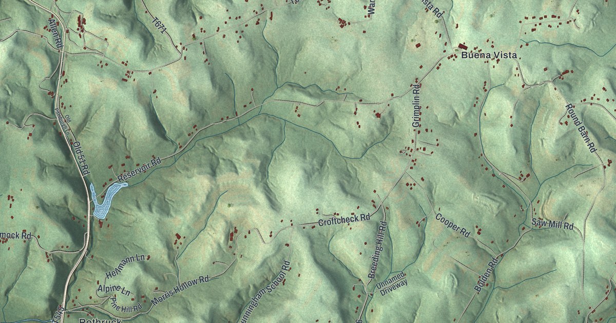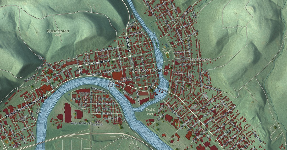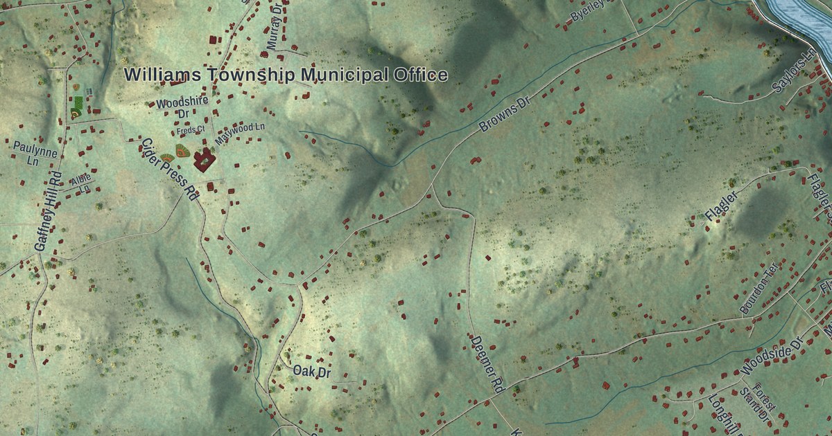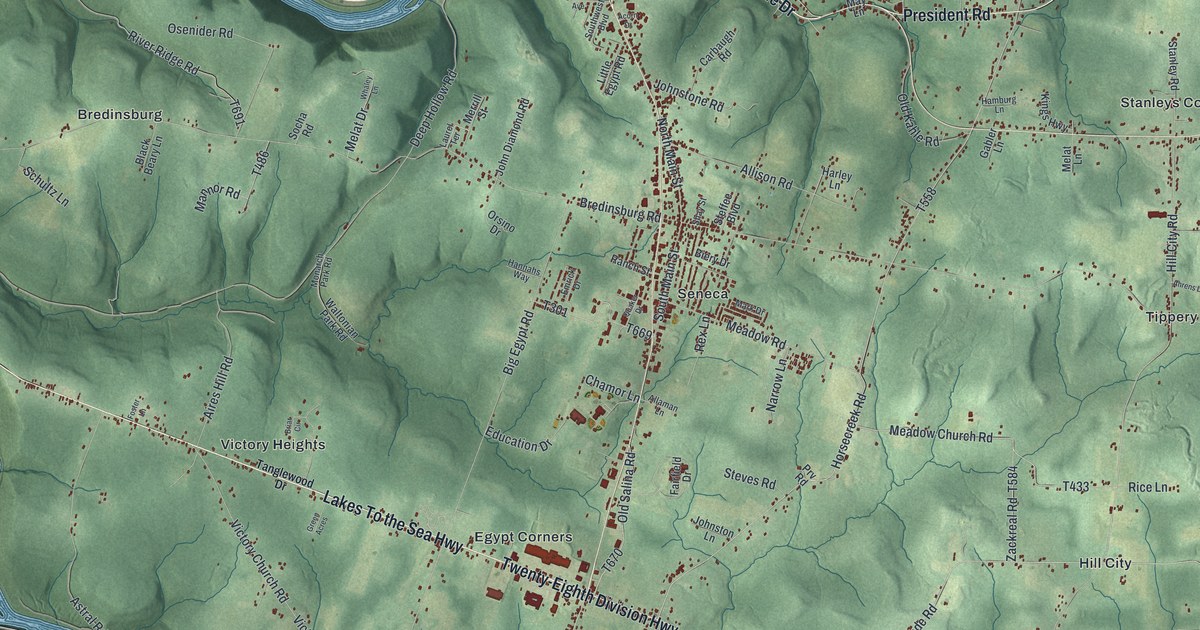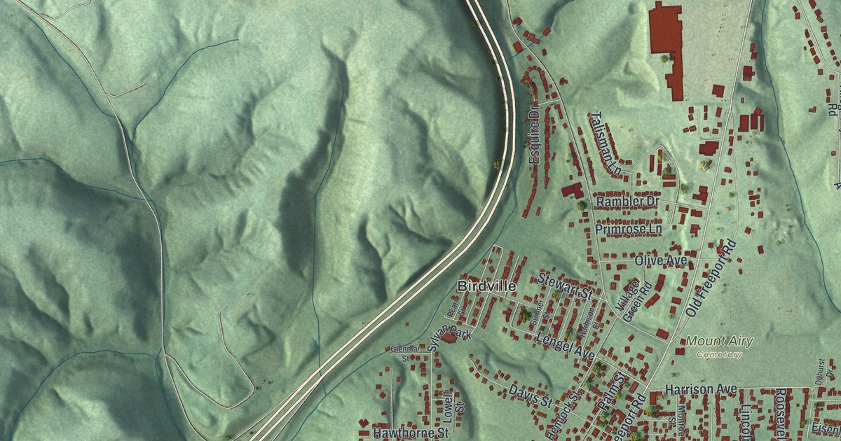
This beautifully detailed map of Harrison, Allegheny County, Pennsylvania was created in 2026 using aerial imagery combined with modern topographical, census, street and landmark data. It’s a one-of-a-kind view of Harrison that combines accurate data with a vintage aesthetic. The map shows every building in its true location, many of the roads carry their names, and the shaded topographic relief shows the shape of the land.
Explore an aerial view of Harrison, Allegheny County, Pennsylvania
On the map you’ll find Compton, Pleasantville, Harrison Hills Park, Mount Airy Cemetery, Birdville, Karns, Natrona, Natrona Heights, and Sligo, along with Freeport Road, Buchanan Street, Harrison Avenue, and more. If you look closely you can even find your house accurately drawn in its correct location. Zoom in on the preview to look for yours.
Did you know this piece of Harrison, Allegheny County, Pennsylvania history?
From Harrison Township: "One of the first homes in what would later become Harrison Township was the Burtner House, a National Historic Site. Phillip Burtner and his brothers, George and John, arrived in the Allegheny Valley in 1793 as frontier scouts and began constructing the home in 1818."
Take a closer look at the Harrison, Allegheny County map
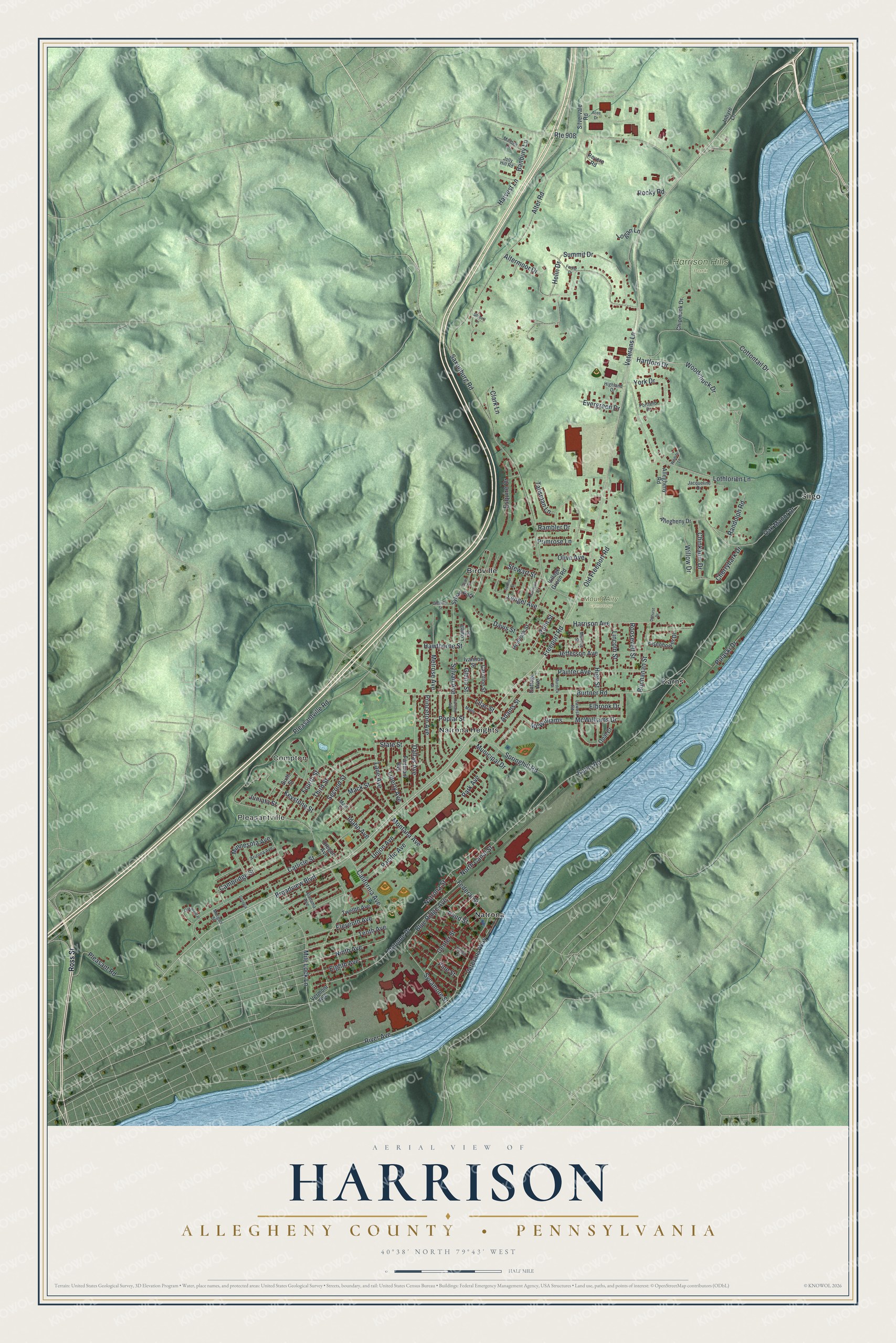
Street and place names on the Harrison, Allegheny County, Pennsylvania map
These names are printed on the map of Harrison, Allegheny County, Pennsylvania.
Places: Compton, Pleasantville, Harrison Hills Park, Mount Airy Cemetery, Birdville, Karns, Natrona, Natrona Heights, Sligo and Sylvan Park.
Streets and roads: Freeport Road, Buchanan Street, Harrison Avenue, Lengel Avenue, Oak Manor Drive, Springhill Road, Ninth Avenue, Burtner Road, Saxonburg Road, Pleasantville Road, Broadview Boulevard, Alter Road.
More street names, A to Z
Acee Drive, Adams Street, Alabama Avenue, Allegheny Drive, Allegheny Road, Altermoor Drive, Argonne Drive, Arizona Avenue, Banbury Lane, Blue Ridge Avenue, California Avenue, Cambridge Street, Carlisle Street, Caroline Street, Center Street, Cherrybark Drive, Chinkapin Drive, Chipmunk Drive, Clark Lane, Cottage Avenue, Cottontail Drive, Dallas Avenue, Davis Street, Duhurst Drive, Eighth Avenue, Eisenhower Drive, Elbrook Drive, Eleventh Avenue, Esquire Drive, Evergreen Drive, Fairmont Avenue, Federal Street, Forest Drive, Fourth Street, Georgia, Glenmar Street, Glenn Street, Harbison Street, Hartford Drive, Harvard Avenue, Harvest Lane, Hawthorne Street, Helin Drive, Hemlock Street, Highland Drive, High Street, Idaho Avenue, Inhyre Lane, Ivanhoe Street, Jacqueline Drive, Jefferson Avenue, Jolly Hill Road, Juniata Street, Karns Road, Keystone Street, Lane Avenue, Lawest Road, Liberty Avenue, Lilac Street, Lincoln Street, Logan Lane, Lothlorien Lane, Lowell Street, Mack Street, Maiden Lane, Main Street, Maple, McWilliams, McWilliams Drive, Melrose Avenue, Mile Lock Lane, Minnesota Avenue, Monroe Street, Montana Avenue, Morgan Street, Municipal Drive, Murdock Street, Natrona Street, North Canal Street, Oakwood Place, Old Freeport Road, Olive Avenue, Opal Court, Oregon Avenue, Pacific Avenue, Painter Avenue, Palm Street, Park Avenue, Pearl Street, Pine Street, Pleasant Road, Pond Street, Poplar Street, Portland Drive, Primrose Lane, Princeton Avenue, Pulaski Drive, Rambler Drive, Randolph Road, Revere Road, River Avenue, Rocky Road, Roosevelt Street, Ross Street, Route 908, Second Street, Silvervale Road, Sixth Street, State Street, Stewart Street, Stobert Lane, Summit Drive, Sumner Street, Sycamore Street, Sylvan Avenue, Talisman Lane, Tenth Avenue, Third Street, Twelfth Avenue, Union Avenue, Vermont Avenue, Veterans Lane, Veterans Way, Village Green Road, Walnut Street, Wildlife Lane, Willow Drive, Woodchuck Drive, York Drive.
See the Harrison, Allegheny County, Pennsylvania map on a wall
The Harrison, Allegheny County map as an 18 x 24 inch print in a black frame.

This beautifully detailed map of Harrison, Allegheny County makes an attractive addition to your office, library, or den, and it can even be used to teach children the geography and history of the area. It also makes a great gift for anyone with Harrison roots. When you’re done exploring, click here to get your copy of the Harrison, Allegheny County map.