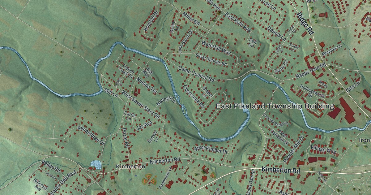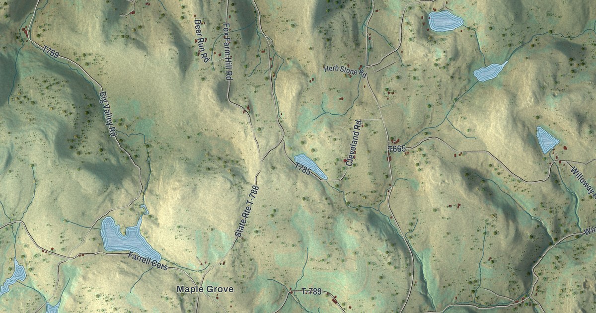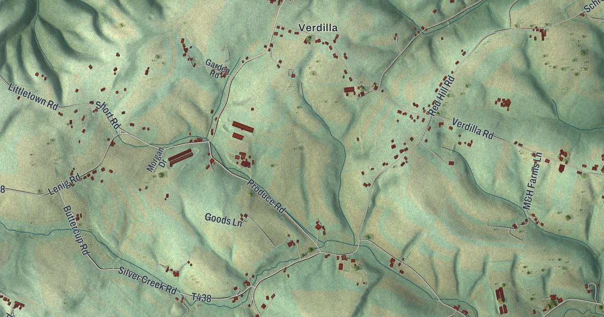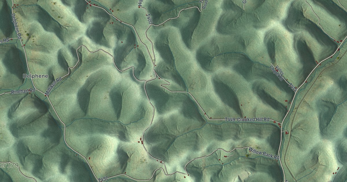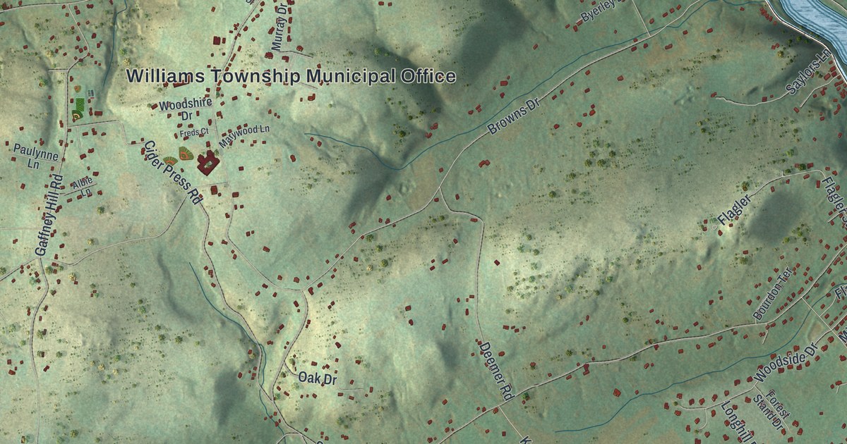
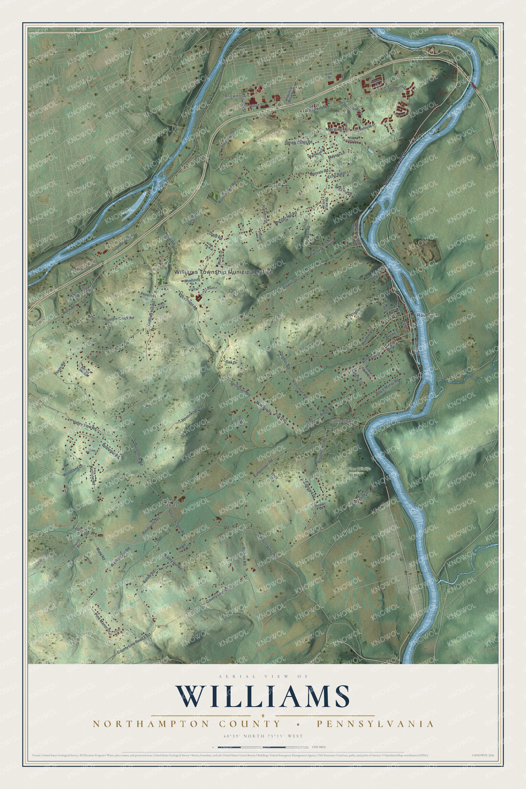
This beautifully detailed map of Williams, Northampton County, Pennsylvania was created in 2026 using aerial imagery combined with modern topographical, census, street and landmark data. It's a modern aerial view of Williams, Northampton County in Northampton County, Pennsylvania, that combines modern data with a vintage aesthetic. The roads feature printed names, and if you look closely you can find your exact house accurately shown in its correct location.
Explore an aerial view of Williams, Northampton County, Pennsylvania
On this map you'll find Williams Township Municipal Office, Mariton Wildlife Sanctuary, Browntown, Coffeetown, Morgan Hill, Raubsville, Stouts, South Delaware Drive, County Line Road East, County Line Road, Ridge Road, Steely Hill Road, and more. Each red shape is a building, so zoom in on the preview and look for yours.
Every town has a first chapter, and Williams, Northampton County is no exception. The Pennsylvania Historical and Museum Commission puts it this way: "The canal channel, which parallels the Delaware River, lies just below the highway. Here are Locks No. 22 and 23, the last lift locks in the 60 miles of canal from Bristol to the Lehigh River at Easton."
Williams, Northampton County is a place in Northampton County. The Census Bureau counted 6,581 people here in 2020.
Take a closer look at the Williams, Northampton County map
Names on this map
These names are printed on this map.
Places: Williams Township Municipal Office, Mariton Wildlife Sanctuary, Browntown, Coffeetown, Morgan Hill, Raubsville and Stouts.
Streets and roads: South Delaware Drive, County Line Road East, County Line Road, Ridge Road, Steely Hill Road, Woodland Drive, Woodside Drive, Morgan Hill Road, Raubsville Road, Hexenkoph Road, Gaffney Hill Road, Buttermilk Road.
More street names, A to Z
Albie Lane, Auburn Drive, Ballek Road, Barron Hill Road, Berger Road, Bougher Hill Road, Bourdon Terrace, Browns Drive, Butternut Road, Byerley Drive, Canal Road, Cedarville Road, Church Road, Cider Press Road, Clubhouse Drive, Coffeetown Road, Congressional Drive, Connard Drive, Deemer Road, Diehl Road, Durham Road, Easton Road, Echo Ridge Lane, Edswood Terrace, Ernst Drive, Flafair Street, Flagler, Flagler Street, Forest Stand Drive, Fox Run, Freds Court, Frya Run Road, Grand View Road, Hilton Street, Holly Street, Industrial Drive, Industrial Drive North, Inverness Circle, Island Court, Island Park Road, Jeanette Street, Joan Street, Kichline Road, Kiefer Street, Kressman Road, Kristen Place, Line Street, Longhill Drive, Mansfield Court, Marywood Lane, Melchor Drive, Mile Road, Mill Street, Morvale Road, Motil Road, Moyers Lane, Murray Drive, Oak Drive, Old Well Road, Park Place, Paulynne Lane, Pine Manor Drive, Pine Valley Terrace, Rock Road, Royal Manor Road, Saylors Lane, School House Lane, Sky Line Drive, Sofet Lane, Springfield Road, Spring Valley Road, Stage Coach Drive, Stewart Court, Stoudts Lane, Stouts School Road, Stouts Valley Road, Sunnyside Drive, Texas Road, Tumble Creek Road, Turnberry Drive, Valley View Road, Waltman Lane, Wassergass Road, Weiss Avenue, Wheat Avenue, Woodshire Drive, Wottring Mill Road.
Created by KNOWOL in 2026. The buildings are small red shapes, the roads carry their printed names, and shaded relief shows the shape of the land. The title panel reads "AERIAL VIEW OF WILLIAMS NORTHAMPTON COUNTY • PENNSYLVANIA" with 4, 0, °, 3, 9, ', , N, O, R, T, H, , 7, 5, °, 1, 5, ', , W, E, S, T.
Hang it in the hallway, the office or the cabin, or give it to someone who left Williams, Northampton County and still calls it home. Open the preview and look for a street you know. See sizes and frames for the Williams, Northampton County map.