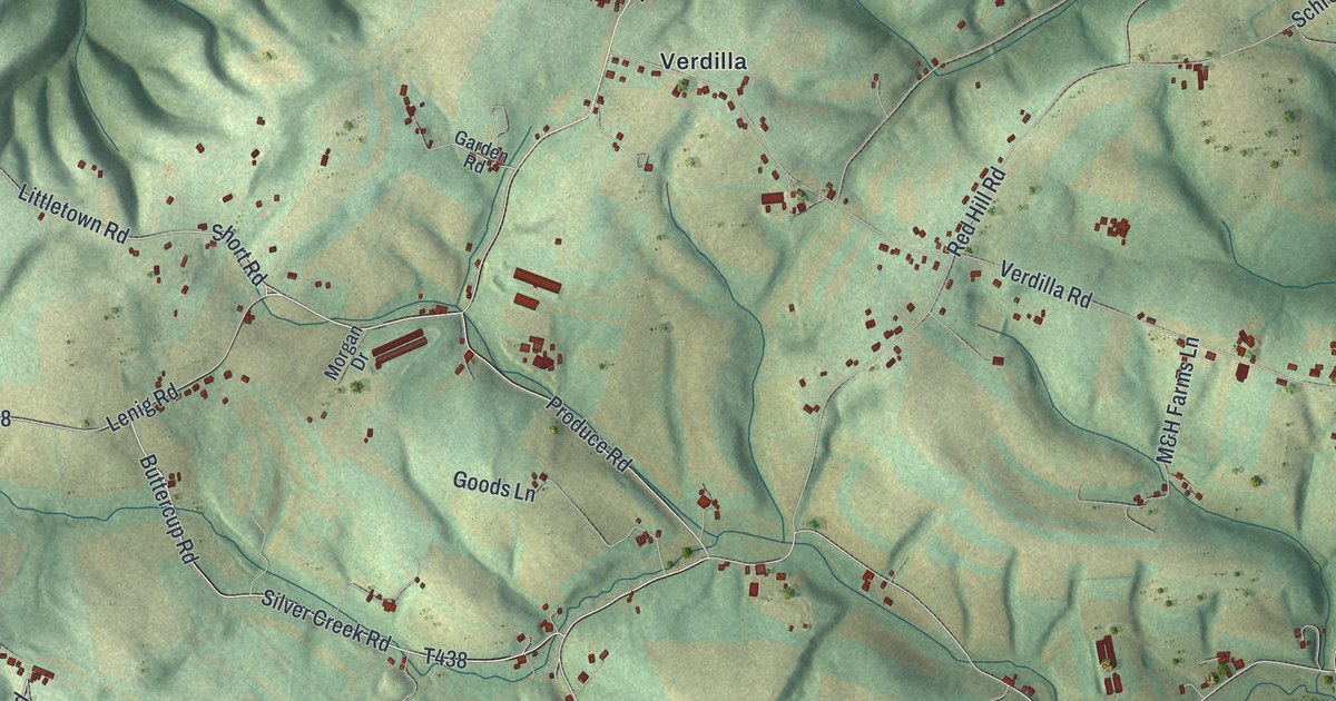
If you grew up near Port Trevorton or have family in Union, look for your road. This modern aerial view of Union in Snyder County, Pennsylvania pairs modern data with a vintage feel. Green hills and fields fill the print beside a wide blue river. Small red buildings dot the roads around Verdilla, Dundore, and Chapman.
Port Trevorton and Union's familiar roads
On this map you'll find Port Trevorton, South Susquehanna Trail, South Main Street, Dundore, Verdilla, Chapman, Produce Road, Silver Creek Road, Chapman Hollow Road, Dundore Road, Verdilla Road, Aqueduct Road, and more. Each red shape is a building, so zoom in on the preview and look for yours.
Port Trevorton once linked coal trains with canal boats. The Pennsylvania Canal historical marker tells how coal arrived from mines about 15 miles east. From 1855 to 1870, the coal crossed the river on the Trevorton, Mahanoy and Susquehanna Railroad bridge. At the canal basin, the coal was loaded onto boats. The marker stands on South Susquehanna Trail, where the highway crosses the old basin. On the print, look for Port Trevorton and South Susquehanna Trail beside the blue river.
Keep Port Trevorton and Verdilla close
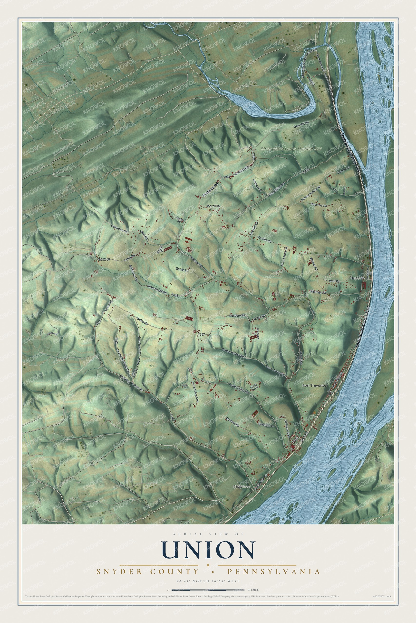
Created by KNOWOL in 2026, the print uses soft green land, blue water, and red building shapes within a cream border. The title panel reads AERIAL VIEW OF UNION, SNYDER COUNTY • PENNSYLVANIA, with 40°44' NORTH 76°54' WEST below.
Hang it in a living room, office, or entryway. It's a thoughtful gift for someone with family in Port Trevorton, or someone who moved away from Union. Open the preview and take a closer look at the roads around home. See sizes and frames for the Union, Snyder County map.