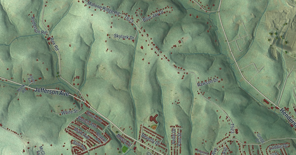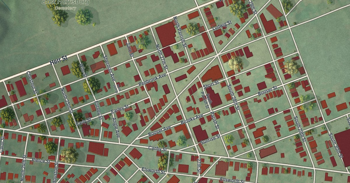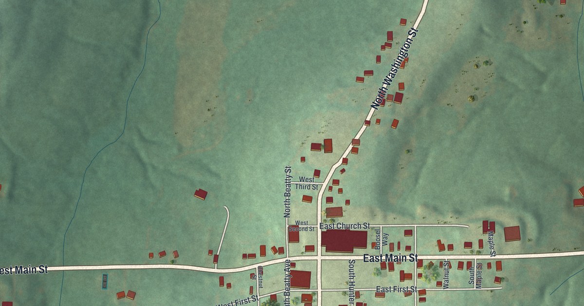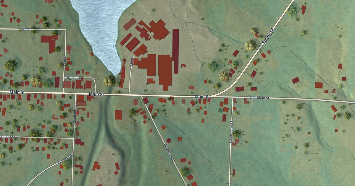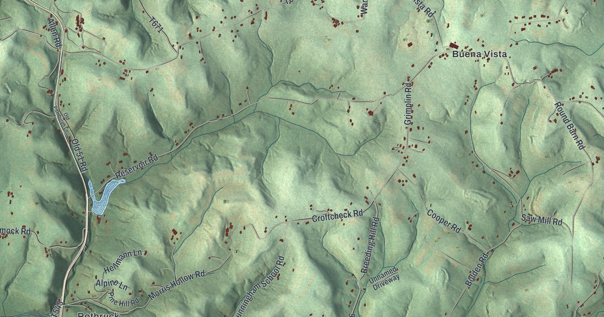
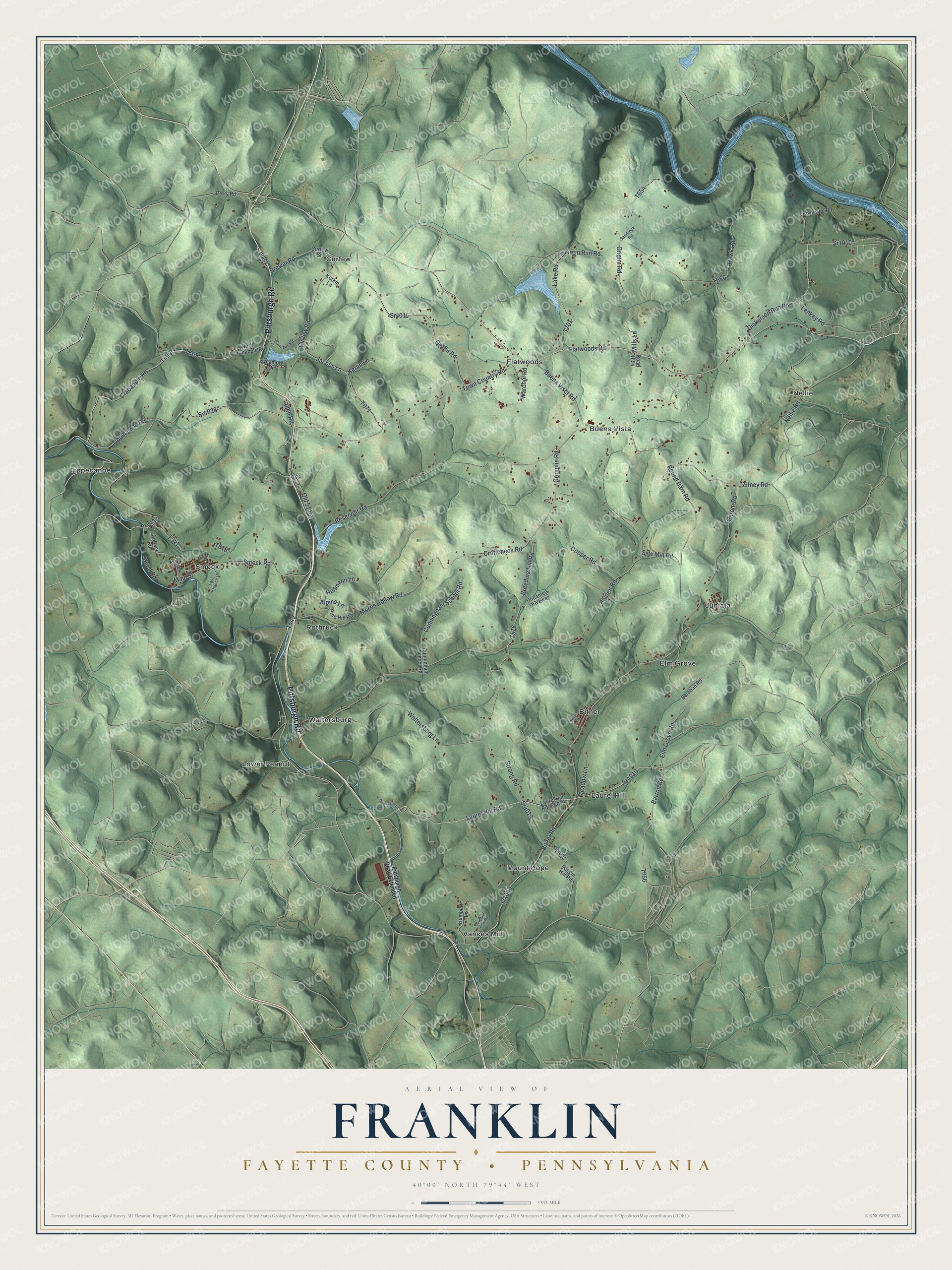
This beautifully detailed map of Franklin, Fayette County, Pennsylvania was created in 2026 using aerial imagery combined with modern topographical, census, street and landmark data. It's a modern aerial view of Franklin, Fayette County in Fayette County, Pennsylvania, that combines modern data with a vintage aesthetic. The roads feature printed names, and if you look closely you can find your exact house accurately shown in its correct location.
Explore an aerial view of Franklin, Fayette County, Pennsylvania
On this map you'll find Bitner, Buena Vista, Curfew, Elm Grove, Flatwoods, Juniata, Laurel Hill, Lower Peanut, Mount Hope, Nellie, Rothruck, Smock, and more. Each red shape is a building, so zoom in on the preview and look for yours.
Franklin, Fayette County has a story worth telling. The Internet Archive puts it this way: "On Arnold's Run (later called Furnace Run), near its mouth, in Franklin township, was the site of this old iron-works. A forge was built at this place as early as 1800, by Nathaniel Gibson, who not long afterwards built the furnace."
Franklin, Fayette County is a place in Fayette County. The Census Bureau counted 2,378 people here in 2020.
Take a closer look at the Franklin, Fayette County map
Names on this map
These names are printed on this map.
Places: Bitner, Buena Vista, Curfew, Elm Grove, Flatwoods, Juniata, Laurel Hill, Lower Peanut, Mount Hope, Nellie, Rothruck, Smock, Tippecanoe, Vances Mill and Waltersburg.
Streets and roads: Pittsburgh Road, Sr4010, Barron Road, Tippecanoe Road, Flatwoods Road, Sr4028, Breeding Hill Road, Strong Road, Laurel Hill Road, Sr1043, Main Street, Crabapple Road.
More street names, A to Z
Allen Road, Alpine Lane, Balaban Road, Bitner Road, Bolden Road, Brady Lane, Brewer Road, Buena Vista Road, Cooper Road, Cottage Road, Cottom Road, Croftcheck Road, Cunningham School Road, Cunninham School Road, Curfew Road, Curfew Street, Davorckak Lane, Dickerson Run Road, Donesec Road, Elm Grove Road, Griffin Road, Grimm Road, Grimplin Road, Hawk Road, Hellmann Lane, High Street, Humbert Lane, Hurst Road, Jacobs Lane, Kerkin Lane, Kerlin Lane, Lake Road, Last Chance Lane, Lenkey Road, Meadow Lane, Mills Lane, Morris Hollow Road, Mountain View Road, Nellie Road, North Crabapple Road, Old 51 Road, Old Pittsburgh Lane, Perry Road, Pine Hill Road, Pittsburgh Road Extended, Reservoir Road, Riggin Hill Road, Riverside Road, Road 1654, Round Barn Road, Sandrock Road, Saw Mill Road, Shaffer Avenue, Smock Road, Sr1010, Sr4013, Sr4015, Sycamore Drive, Town Country Road, Unnamed Driveway, Virgin Run Road, Waltersburg Lane, Warchol Road, Zitney Road.
Created by KNOWOL in 2026. The buildings are small red shapes, the roads carry their printed names, and shaded relief shows the shape of the land. The title panel reads "AERIAL VIEW OF FRANKLIN FAYETTE COUNTY • PENNSYLVANIA" with 4, 0, °, 0, 0, ', , N, O, R, T, H, , 7, 9, °, 4, 4, ', , W, E, S, T.
It looks right in a kitchen, an office or a den, and it's a gift for anyone who grew up in Franklin, Fayette County or moved away. Open the preview and find your street. See sizes and frames for the Franklin, Fayette County map.