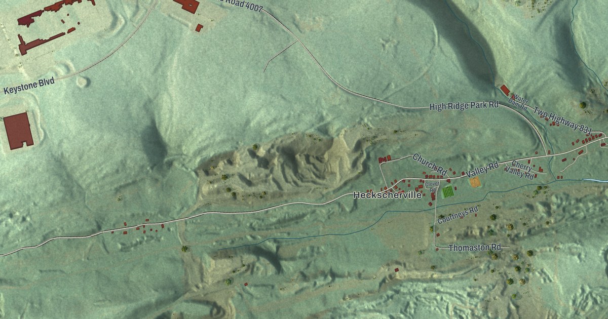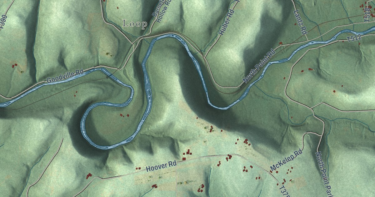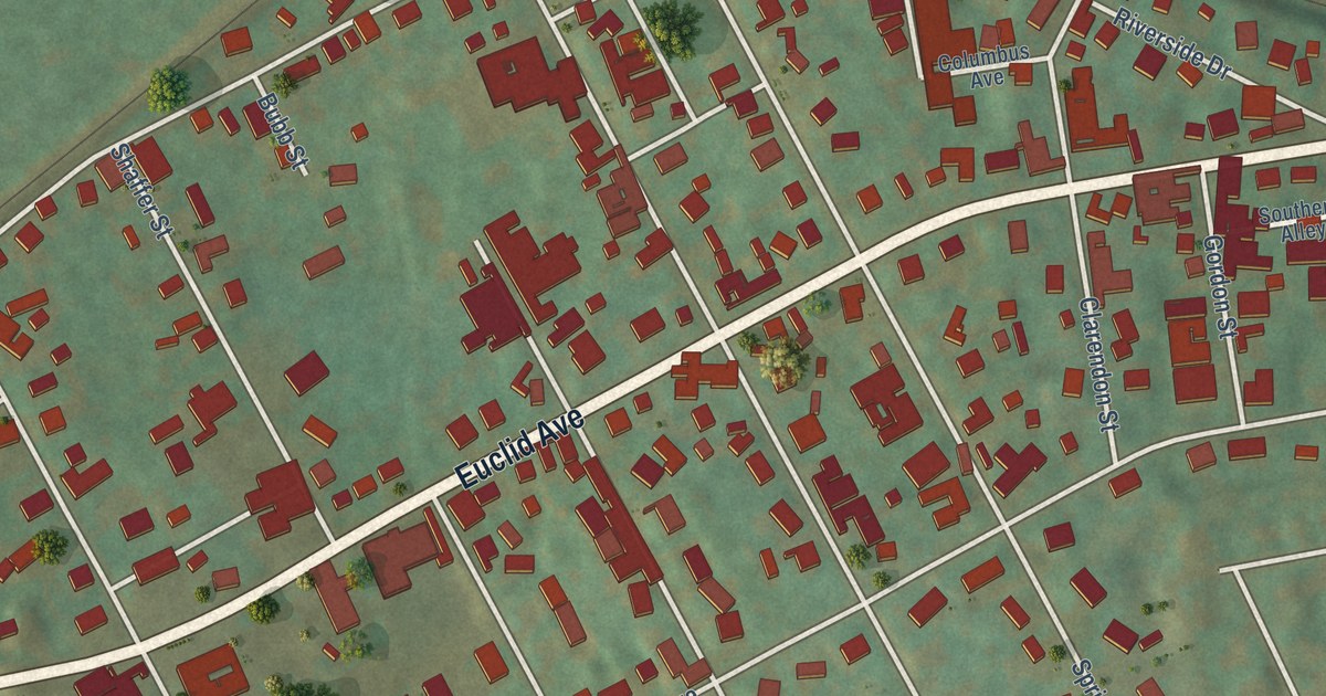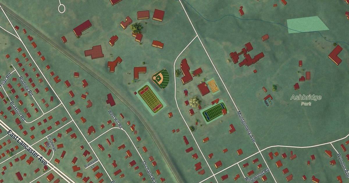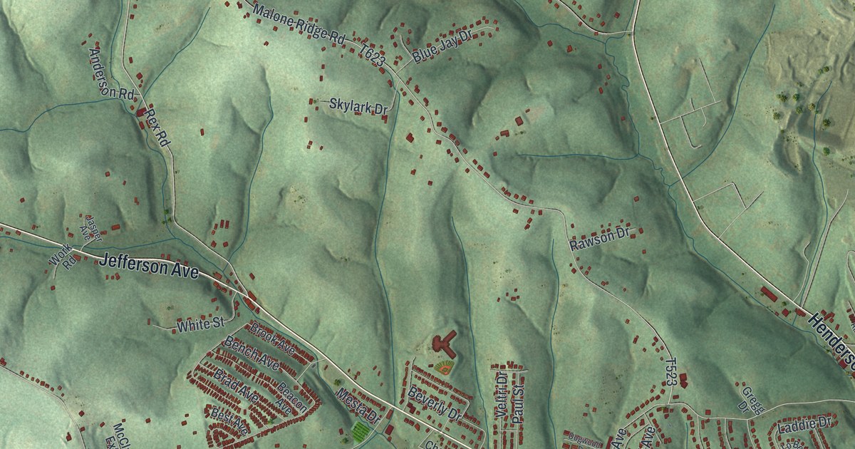
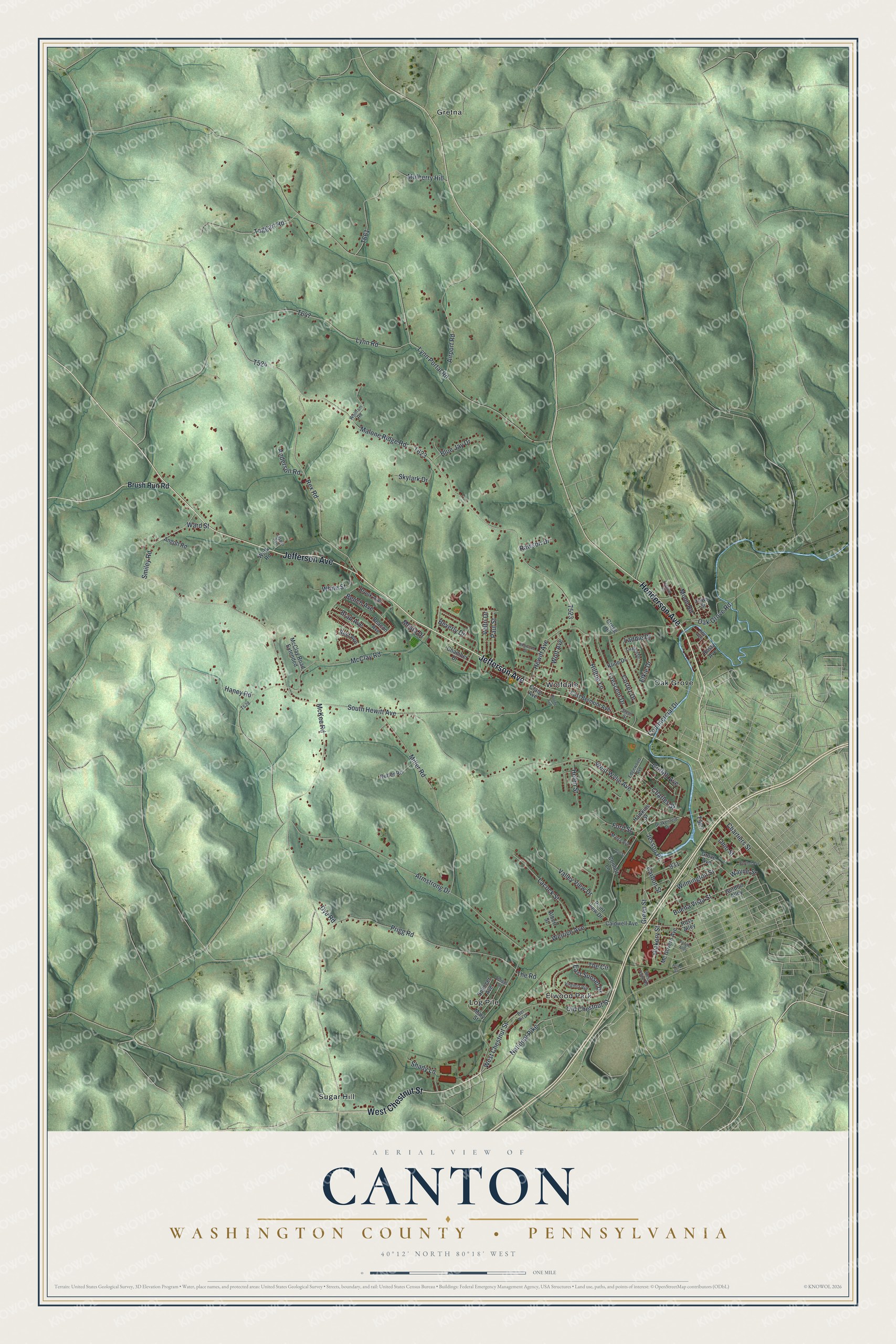
This beautifully detailed map of Canton, Washington County, Pennsylvania was created in 2026 using aerial imagery combined with modern topographical, census, street and landmark data. It’s a one-of-a-kind view of Canton that combines accurate data with a vintage aesthetic. The map shows every building in its true location, many of the roads carry their names, and the shaded topographic relief shows the shape of the land.
Explore an aerial view of Canton, Washington County, Pennsylvania
On the map you’ll find Elwood Park, Gretna, Log Pile, Oak Grove, Sugar Hill, and Wolfdale, along with Henderson Avenue, Jefferson Avenue, West Chestnut Street, Rex Road, South Hewitt Avenue, and more. If you look closely you can even find your house accurately drawn in its correct location. Zoom in on the preview to look for yours.
Did you know this piece of Canton, Washington County, Pennsylvania history?
Canton Township was formed on June 10, 1791, from parts of Morris, Hopewell, Strabane and Chartiers townships. Zachariah Pumphrey had settled there in 1774. On land Samuel Prigg later bought from Enoch Dye stood two blockhouses about one hundred and fifty yards apart, where early settlers gathered. That’s from the 1882 History of Washington County, Pennsylvania.
Take a closer look at the Canton, Washington County map
Street and place names on the Canton, Washington County, Pennsylvania map
These names are printed on the map of Canton, Washington County, Pennsylvania.
Places: Elwood Park, Gretna, Log Pile, Oak Grove, Sugar Hill and Wolfdale.
Streets and roads: Henderson Avenue, Jefferson Avenue, West Chestnut Street, Rex Road, South Hewitt Avenue, Hewitt Avenue, Haney Road, Malone Ridge Road, Hickory Street, Griffith Avenue, Moon Road, Lynn Portal Road.
More street names, A to Z
Airport Road, Albert Street, Anderson Road, Angott Road, Armstrong Drive, Atlas Street, Beacon Avenue, Bel Air Drive, Bench Avenue, Berthel Avenue, Best Avenue, Beverly Drive, Blue Jay Drive, Boone Avenue, Brad Avenue, Brook Avenue, Brush Run Road, Buena Vista Street, Caldwell Avenue, Carbon Street, Chamber Drive, Charles Street, Chartiers Street, Commercial Drive, Confort Lane, Cortez Drive, Craig Avenue, Crescent Drive, Dogwood Drive, Don Street, Drakenfeld Drive, Dye Road, East Belmont Avenue, East Sunset Drive, Edgewood Avenue, Elkie Drive, Fawn Street, Festival Road, Ford Street, Forgie Alley, Gordon Alley, Green Street, Gregg Drive, Grove Avenue, Hawkins Street, Helen Street, Hilltop Lane, Jasper Avenue, Jessop Place, Key Avenue, Kline Drive, Lacock Street, Laddie Drive, Lo Bell Drive, Lynn Road, Marra Avenue, Mary Street, McClay Road, McClay Road Extended, Mc Govern Avenue, McKee Road, Mesta Drive, Miller Road, Mulberry Hill, National Pike, Nutter Road, Oak Grove Road, Ohio Street, Old Chestnut Street, Paul Street, Point View Drive, Prigg Road, Rawson Drive, Rose Avenue, Ross Alley, Shady Lane, Skylark Drive, Smiley Road, Spencer Avenue, Spriggs Street, Steel Street, Taggart Road, The Circle, The Road, Valley View Drive, Veltri Drive, Virginia Via, Ward Street, Wayne Street, Weirich Avenue, West Point Road, West Wylie Avenue, White Street, Wilmington Street, Wolf Avenue, Wolfram Road, Work Road.
See the Canton, Washington County, Pennsylvania map on a wall
The Canton, Washington County map as an 18 x 24 inch print in a black frame.

This beautifully detailed map of Canton, Washington County makes an attractive addition to your office, library, or den, and it can even be used to teach children the geography and history of the area. It also makes a great gift for anyone with Canton roots. When you’re done exploring, click here to get your copy of the Canton, Washington County map.