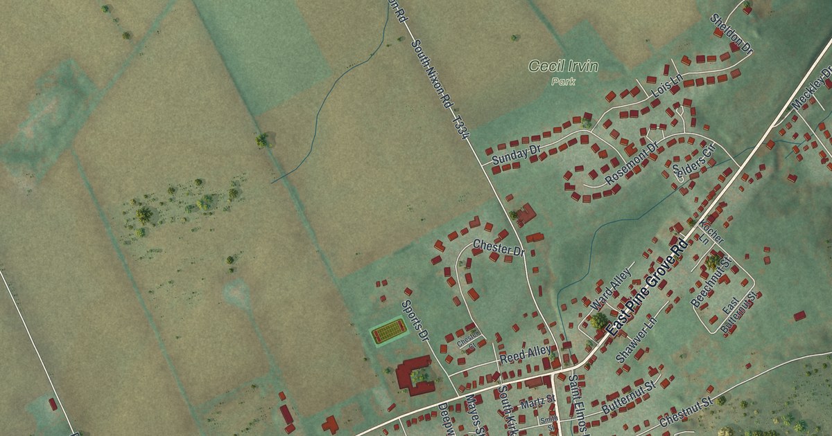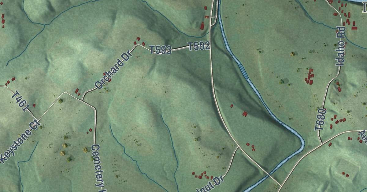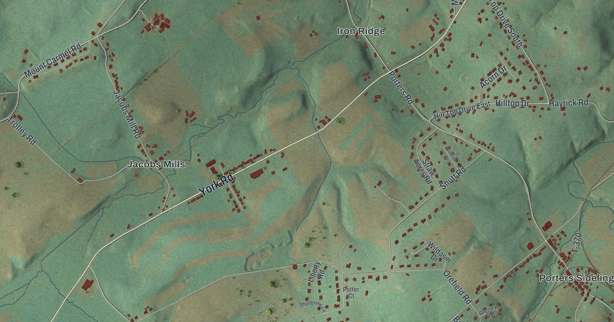
This beautifully detailed map of Heidelberg, York County, Pennsylvania was created in 2026 using aerial imagery combined with modern topographical, census, street and landmark data. It’s a one-of-a-kind view of Heidelberg that combines accurate data with a vintage aesthetic. The map shows every building in its true location, many of the roads carry their names, and the shaded topographic relief shows the shape of the land.
Explore an aerial view of Heidelberg, York County, Pennsylvania
On the map you’ll find Menges Mills, Kraft Mill, Codorus State Park, Iron Ridge, Jacobs Mills, Moulstown, Penn Grove, Porters Sideling, and Smiths Station, along with York Road, High Rock Road West, Moulstown Road, and more. If you look closely you can even find your house accurately drawn in its correct location. Zoom in on the preview to look for yours.
Did you know this piece of Heidelberg, York County, Pennsylvania history?
From the 1886 History of York County, Pennsylvania : "Most of the ore smelted at Mary Ann Furnace, which was built in 1761, by Hon. George Ross, of Lancaster, and located in Manheim, this county, was obtained in Heidelberg."
Take a closer look at the Heidelberg, York County map
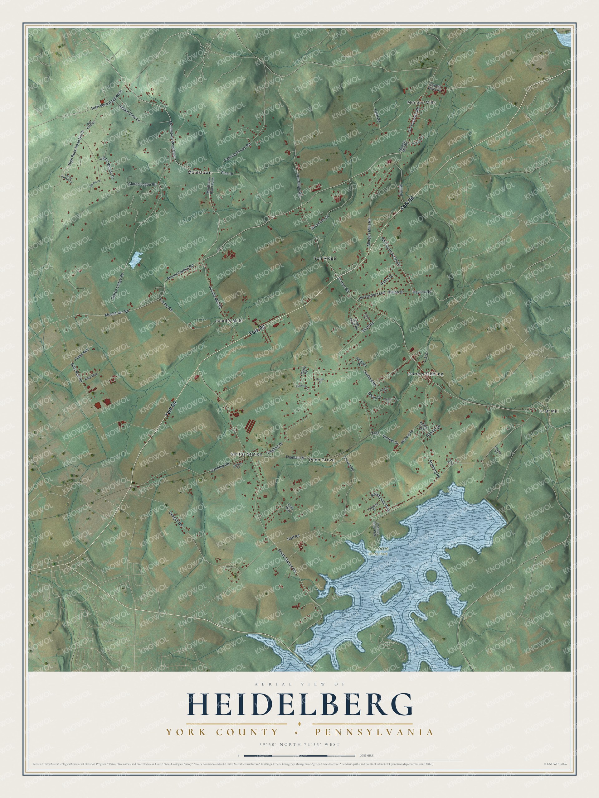
Street and place names on the Heidelberg, York County, Pennsylvania map
These names are printed on the map of Heidelberg, York County, Pennsylvania.
Places: Menges Mills, Kraft Mill, Codorus State Park, Iron Ridge, Jacobs Mills, Moulstown, Penn Grove, Porters Sideling and Smiths Station.
Streets and roads: York Road, High Rock Road West, Moulstown Road, Moulstown Road East, Mount Carmel Road, Hilltop Drive, Hayrick Road, Yingling Drive, Menges Mills Road, Porters Road, Iron Ridge Road, Hoff Road.
More street names, A to Z
Acorn Drive, Amy Way, Becky Drive, Cannery Court, Cannery Road, Clinton Court, Colonial Valley Road, Danner Drive, Deagen Road, Faith Way, Fame Avenue, Field Road, Gardner Drive, Gitts Run Road, Glatco Lodge Road, Glatco Logoe Road, Gregory Road, Hidden View Lane, High Rock Road, High Rock Road North, Hill Top Drive East, Hill Top Drive South, Hillview Road, Jacobs Mill Road, Kelley Avenue, Laurel Summit Drive, Laurel Woods Drive, Lexus Drive, Liberty Road, Locust Road, Marburg Drive, Marburg Road, Menges Mill Road, Mill Road, Moulstown Road North, Mountain Drive, Old Hanover Road, Orefield Road, Packing House Road, Pine Drive, Potter Court, Rosepointe Way, Shellborne Lane, Shutt Road, Smith Station Road, Sterner Drive, Straw Acres Road, Sycamore Drive, T-370, Tamarind Drive, Thoman Drive, Trolley Road, West Side Avenue, Wildasin Drive.
See the Heidelberg, York County, Pennsylvania map on a wall
The Heidelberg, York County map as an 18 x 24 inch print in a black frame.

This beautifully detailed map of Heidelberg, York County makes an attractive addition to your office, library, or den, and it can even be used to teach children the geography and history of the area. It also makes a great gift for someone who left Heidelberg and still calls it home. When you’re done exploring, click here to get your copy of the Heidelberg, York County map.