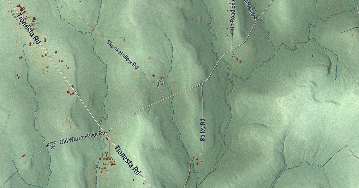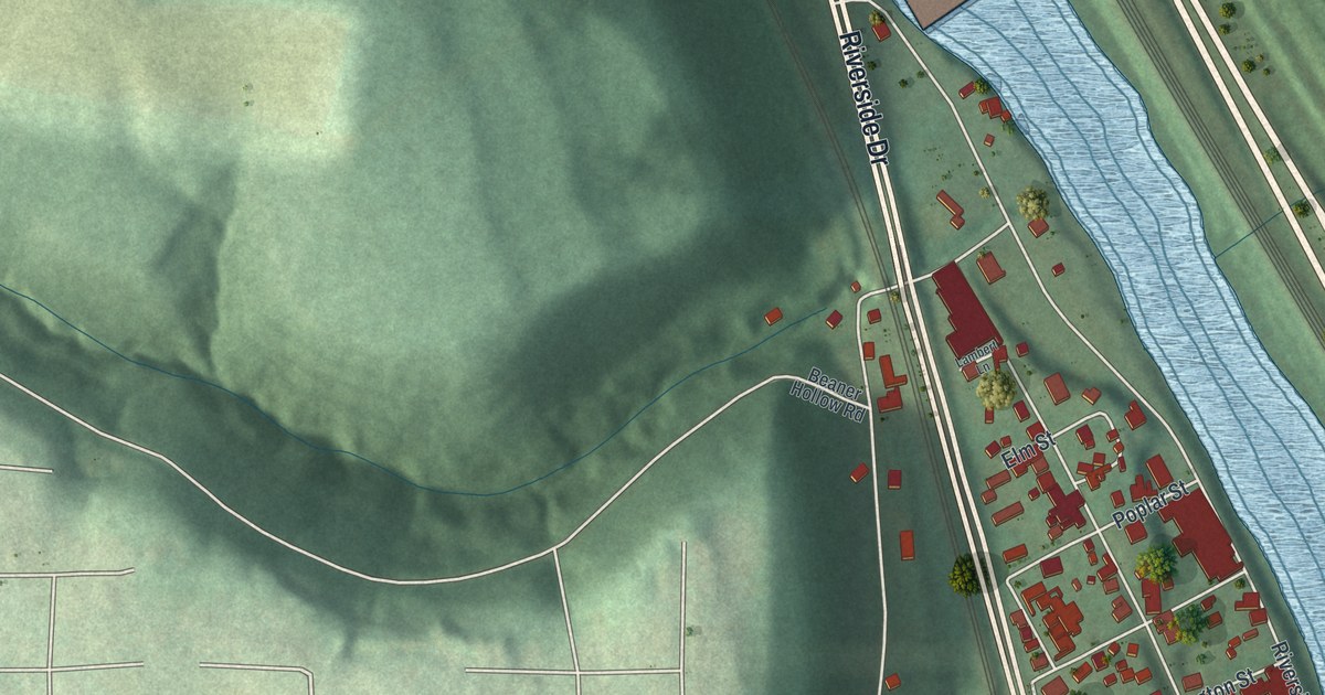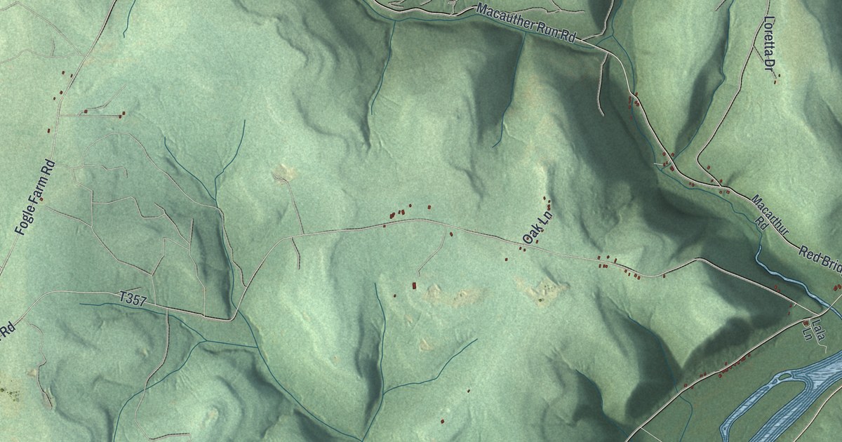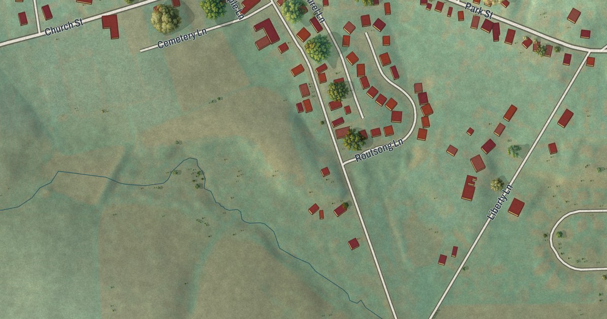
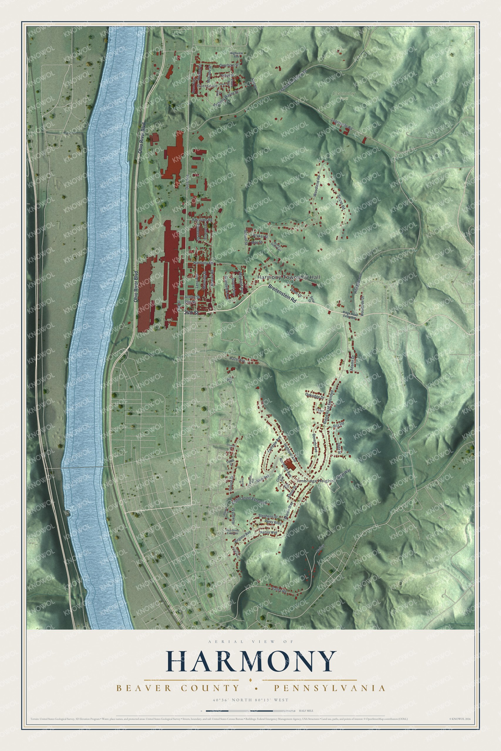
This beautifully detailed map of Harmony, Beaver County, Pennsylvania was created in 2026 using aerial imagery combined with modern topographical, census, street and landmark data. It's a modern aerial view of Harmony, Beaver County in Beaver County, Pennsylvania, that combines modern data with a vintage aesthetic. The roads feature printed names, and if you look closely you can find your exact house accurately shown in its correct location.
Explore an aerial view of Harmony, Beaver County, Pennsylvania
On this map you'll find Harmony Township Hall, Economy Park, Ambridge Heights, Byersdale, Breitenstein Road, 24th Street, Ohio River Boulevard, Duss Avenue, Fairdale Avenue, Norwood Avenue, Heber Street, Spruce Street, and more. Each red shape is a building, so zoom in on the preview and look for yours.
Here is a piece of Harmony, Beaver County history, in the words of the record. The PA Historical and Museum Commission puts it this way: "Gen. Anthony Wayne's army camped here Nov. 1792 to April 1793, preparing for the campaign which led to the Battle of Fallen Timbers with the Northwest Indians."
Harmony, Beaver County is a place in Beaver County. The Census Bureau counted 3,187 people here in 2020.
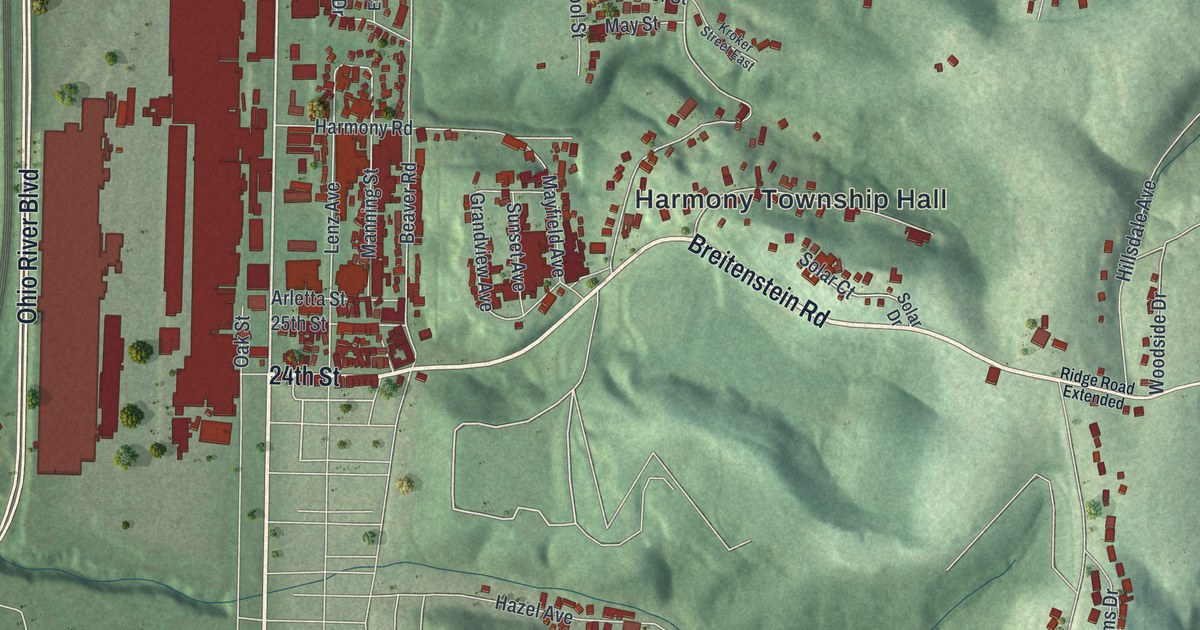
Take a closer look at the Harmony, Beaver County map
Names on this map
These names are printed on this map.
Places: Harmony Township Hall, Economy Park, Ambridge Heights and Byersdale.
Streets and roads: Breitenstein Road, 24th Street, Ohio River Boulevard, Duss Avenue, Fairdale Avenue, Norwood Avenue, Heber Street, Spruce Street, Grandview Avenue, Ridge Road Extended, Legionville Road, Woodland Road.
More street names, A to Z
16th Street, 25th Street, Adams Drive, Anthony Wayne Drive, Arletta Street, Beaver Road, Beverly Avenue, Byers Alley, Carlson Drive, Cedar Avenue, Clearview Drive, Clinton Street, Dearborn Street, Economy Street, Eighth Street Extended, Eleventh Street, Elmer Street, Essex Avenue, Fifth Street Extended, Forcey, Fulton Street, Harmony Road, Hazel Avenue, Highland Avenue, Highview Avenue, Hillsdale Avenue, Howard Street, Keystone Road, Kroker Street, Kroker Street East, Legionville Hollow Road, Lenz Avenue, Lower Virginia Avenue, Manning Street, Martins Way, Martin Way, Mayfield Avenue, May Street, McCabe Street, Miller Street, Oak Avenue, Oakridge Drive, Oak Street, Olga Street, Opal Way, Paradise Avenue, Perry Alley, Pioneer Drive, Ray Road, Rice Avenue, School Street, Solar Court, Solar Drive, Stephens Street, Sunset Avenue, Sylvan Road, Tenth Street, Valley, Valley Road, Virginia Avenue, Watson Street, Woodside Drive.
Created by KNOWOL in 2026. The buildings are small red shapes, the roads carry their printed names, and shaded relief shows the shape of the land. The title panel reads "AERIAL VIEW OF HARMONY BEAVER COUNTY • PENNSYLVANIA" with 4, 0, °, 3, 6, ', , N, O, R, T, H, , 8, 0, °, 1, 3, ', , W, E, S, T.
It suits a den, a classroom or a front hall, and it makes a gift for anyone with Harmony, Beaver County roots. Open the preview and find the block you know. See sizes and frames for the Harmony, Beaver County map.