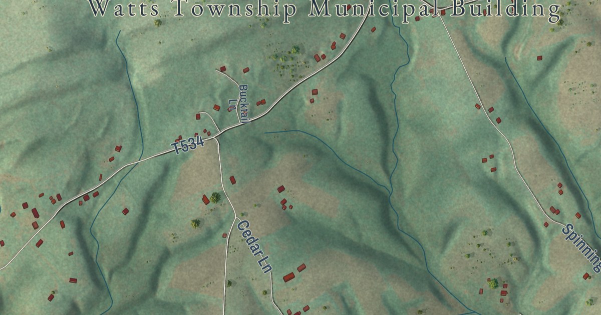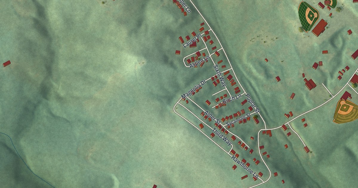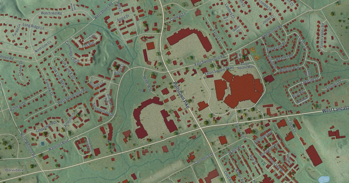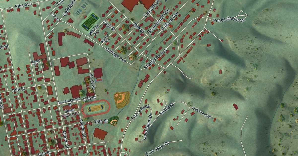
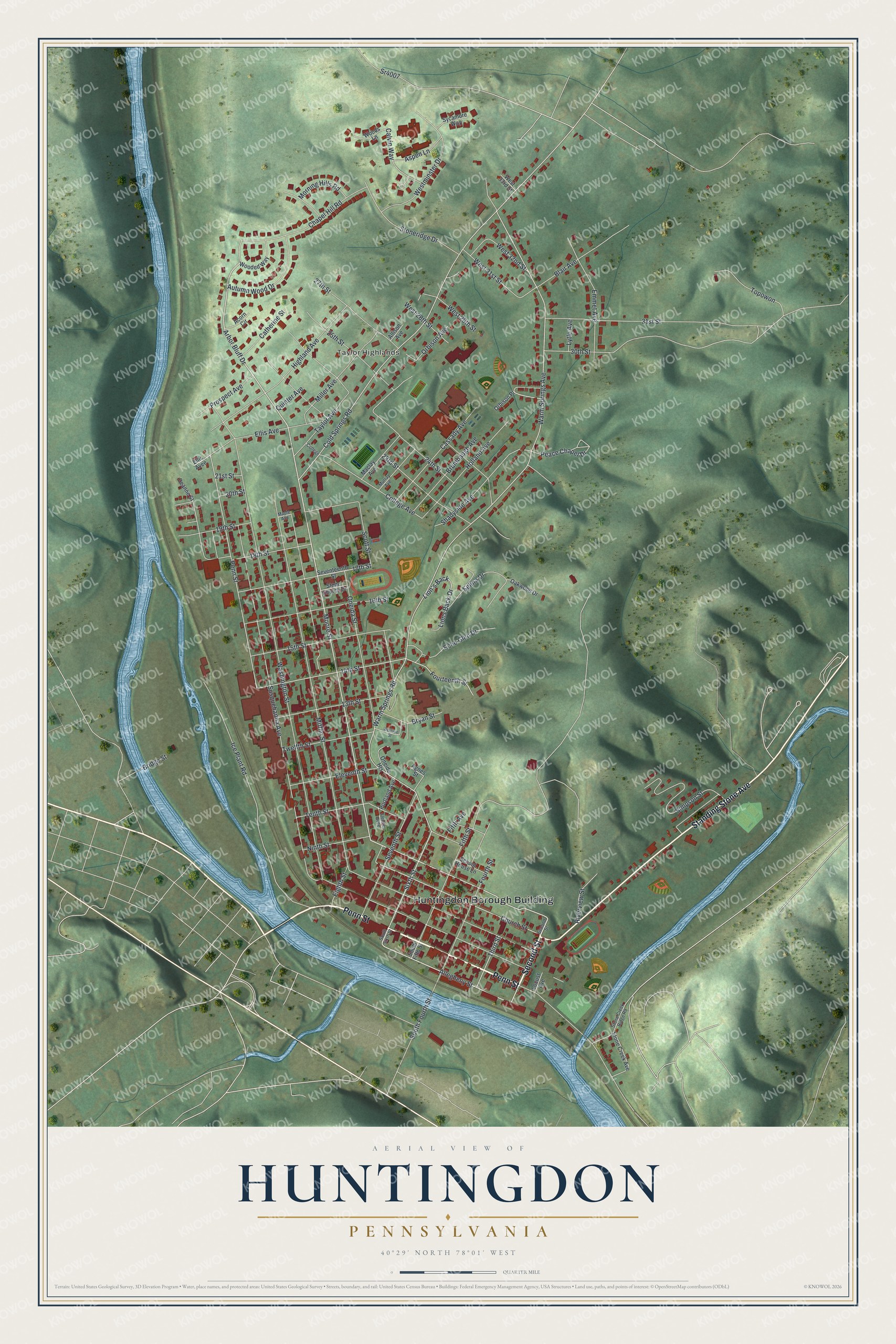
This beautifully detailed map of Huntingdon, Pennsylvania was created in 2026 using aerial imagery combined with modern topographical, census, street and landmark data. It’s a one-of-a-kind view of Huntingdon that combines accurate data with a vintage aesthetic. The map shows every building in its true location, many of the roads carry their names, and the shaded topographic relief shows the shape of the land.
Explore an aerial view of Huntingdon, Pennsylvania
On the map you’ll find Huntingdon Borough Building and Taylor Highlands, along with Penn Street, Second Street, Standing Stone Avenue, Allegheny Street, Sixth Street, Moore Street, Arbor Bluff Drive, Church Street, 14th Street, College Avenue, and more. If you look closely you can even find your house accurately drawn in its correct location. Zoom in on the preview to look for yours.
Did you know this piece of Huntingdon, Pennsylvania history?
Rev. William Smith began to sell lots on the Standing Stone Tract by the Juniata River in 1768. Earlier owners had never tried to lay out a settlement, so Smith is considered the founder. A Standing Stone Monument was raised for the 100th anniversary of incorporation. It copies a tall, narrow shaft that stood here before 1750.
Take a closer look at the Huntingdon map
Street and place names on the Huntingdon, Pennsylvania map
These names are printed on the map of Huntingdon, Pennsylvania.
Places: Huntingdon Borough Building and Taylor Highlands.
Streets and roads: Penn Street, Second Street, Standing Stone Avenue, Allegheny Street, Sixth Street, Moore Street, Arbor Bluff Drive, Church Street, 14th Street, College Avenue, Lion's Back, Shadyside Avenue.
More street names, A to Z
13th Street, 15th Street, 16th Street, 17th Street, 18th Street, 19th Street, 20th Street, 21st Street, 23rd Street, 24th Street, 25th Street, 27th Street, 30th Street, 31st Street, Acorn Circle, Agnes Street, Allison Avenue, Aspen Lane, Autumn Wood Drive, Blair Avenue, Bridge Street, Brumbaugh Avenue, Bryan Street, Calvin Way, Cassady Avenue, Catherine Street, Chapel Hill Road, Cold Springs Road, College, Deanne Street, Echo Glen Drive, Eighth Street, Eleventh Street, Ellis Avee, Ellis Avenue, Emmet Avenue, Fifth Avenue, Fifth Street, Flenner Avee, Fourteenth Street, Fourth Street, Highland Avenue, Holland Avenue, Ice Plant Road, Lions Back Drive, Locust Avenue, Lytle Avenue, Maclay Avenue, Maple Avenue, Mifflin Street, Miller Avenue, Morning Hills Road, Murray Avenue, Ninth Street, Oakwood Drive, Oneida Heights, Oneida Street, Orbison Avenue, Orbison Place, Peace Chapel Drive, Portland Avenue, Prospect Avenue, Quinter Avenue, Riverview Street, School House Lane, Scott Street, Selina Drive, Seventeenth Street, Seventh Street, Simpson Street, South Fifth Street, South Fourth Street, South Sixth Street, Sr4007, Stone Church Drive, Stone Creek Avenue, Stone Creek Ridge Road, Stoneridge Drive, Susquehanna Avenue, Sycamore Way, Taylor Avenue, Tenth Street, Third Street, Topowon, Twelfth Street, Warm Springs Avenue, Warm Springs Road, Washington Street, West 28th Street, West 29th Street, West 31st Street, West 32nd Street, West 33rd Street, Westminster Drive, Westvue Street, Wooded Way, Woods Lane.
See the Huntingdon, Pennsylvania map on a wall
The Huntingdon map as an 18 x 24 inch print in a black frame.

This beautifully detailed map of Huntingdon makes an attractive addition to your office, library, or den, and it can even be used to teach children the geography and history of the area. It also makes a great gift for anyone who grew up in Huntingdon or moved away. When you’re done exploring, click here to get your copy of the Huntingdon map.