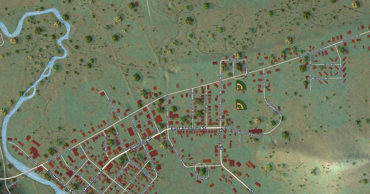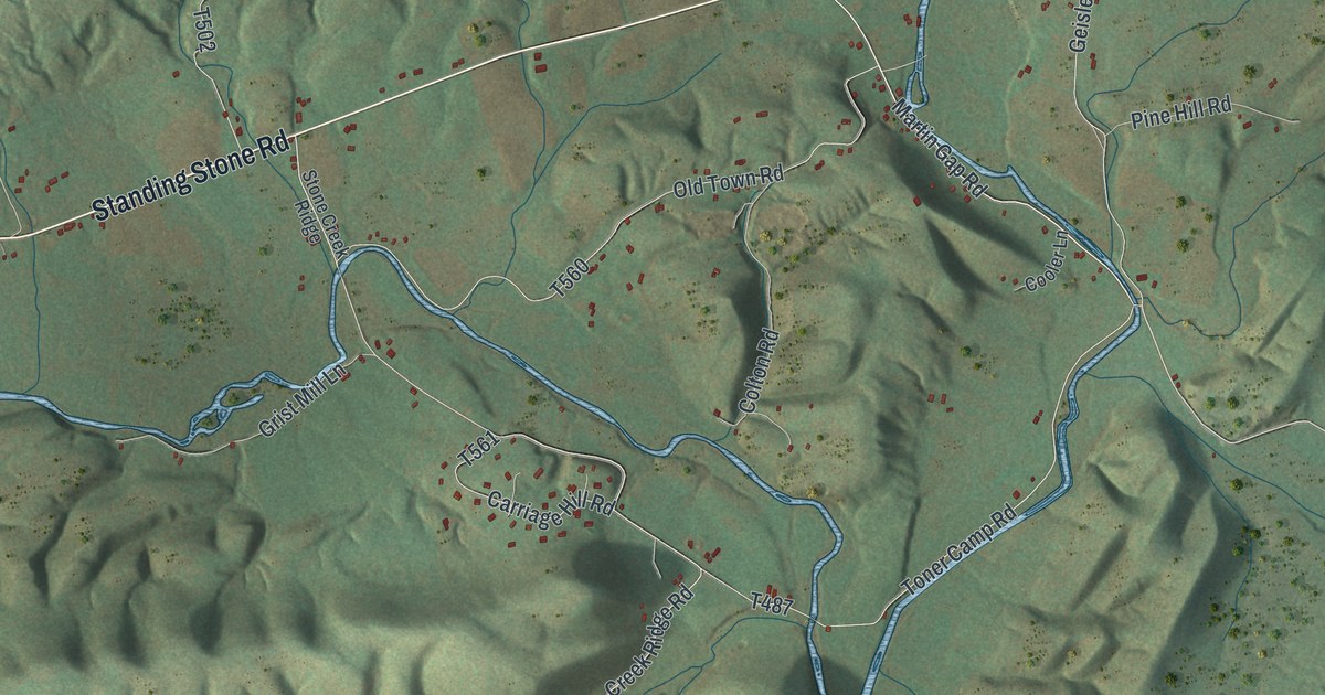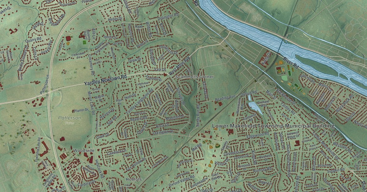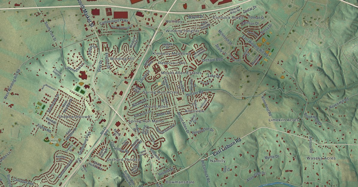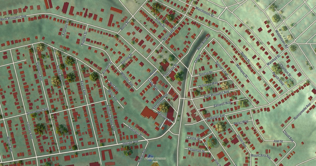
If you grew up in Ingram, look for your old block on this print. It's a modern aerial view of Ingram in Allegheny County, Pennsylvania, built from public terrain, building and street data, with a vintage feel. Red buildings line the streets, with green hills around them and a ball diamond near the bottom.
Ingram Avenue and the neighborhood streets
On this map you'll find Ingram Avenue, Steuben Street, Foster Avenue, West Prospect Avenue, Center Street, Middletown Road, Noll Avenue, Greenwood Avenue, Berry Street, Linshaw Avenue, West Busway, and more. Each red shape is a building, so zoom in on the preview and look for yours.
The Census Bureau counted 3,391 people in Ingram in 2020. That's 3,391 neighbors in a borough of tightly packed blocks. On the print, rows of red buildings run along West Prospect Avenue and Steuben Street, with trees between the yards. The ball diamond at Foster Avenue Park sits near the bottom, so the field where you played is easy to find.
Keep Ingram close to home
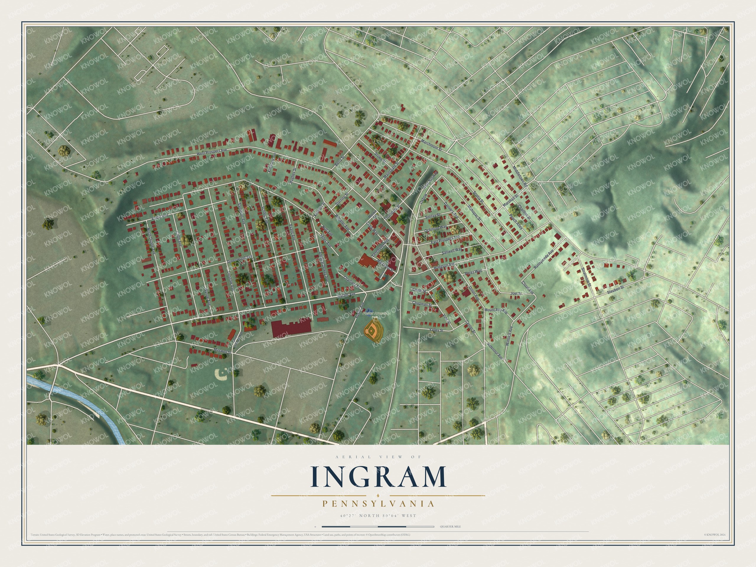
Created by KNOWOL in 2026, this print pairs soft green hills with red buildings and pale street lines. A cream border surrounds the view. The title panel reads AERIAL VIEW OF INGRAM, PENNSYLVANIA, with 40°27' NORTH 80°04' WEST below.
Hang it in a living room, home office, or entryway. It's a gift for someone who grew up near Ingram Avenue, or family who moved away. Open the preview and look for the block you'd want to keep close. See sizes and frames for the Ingram map.