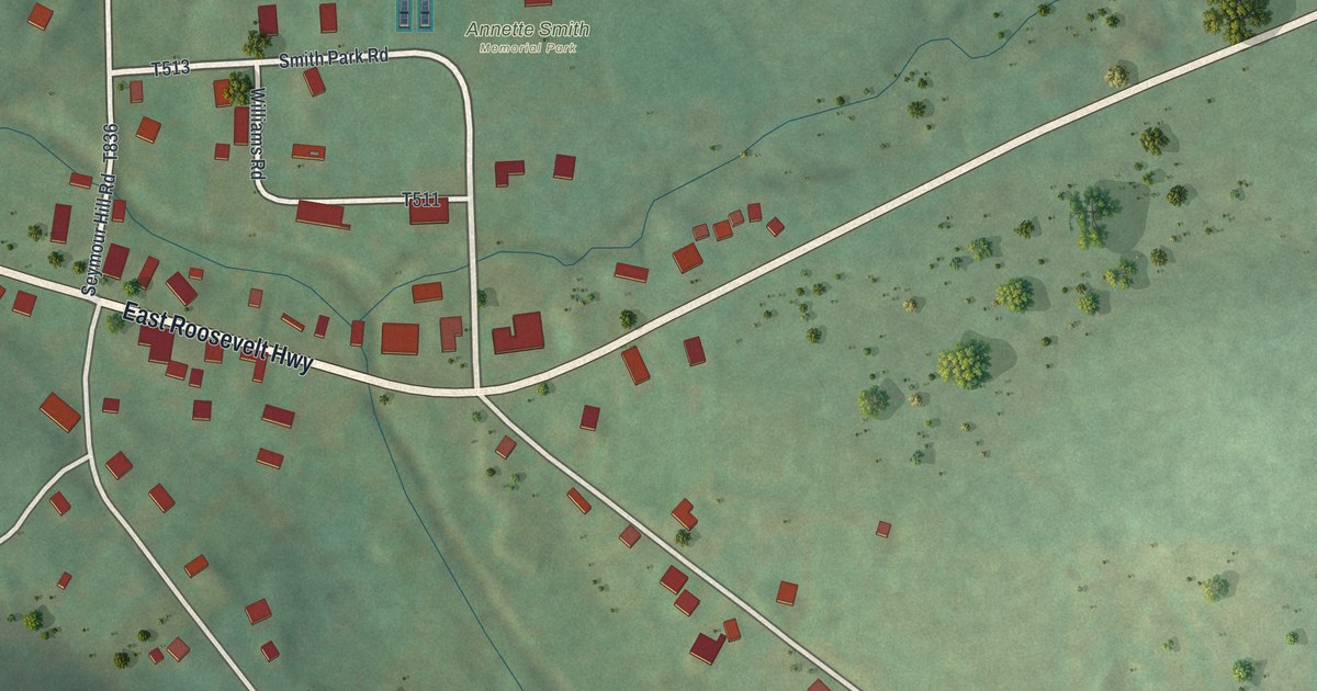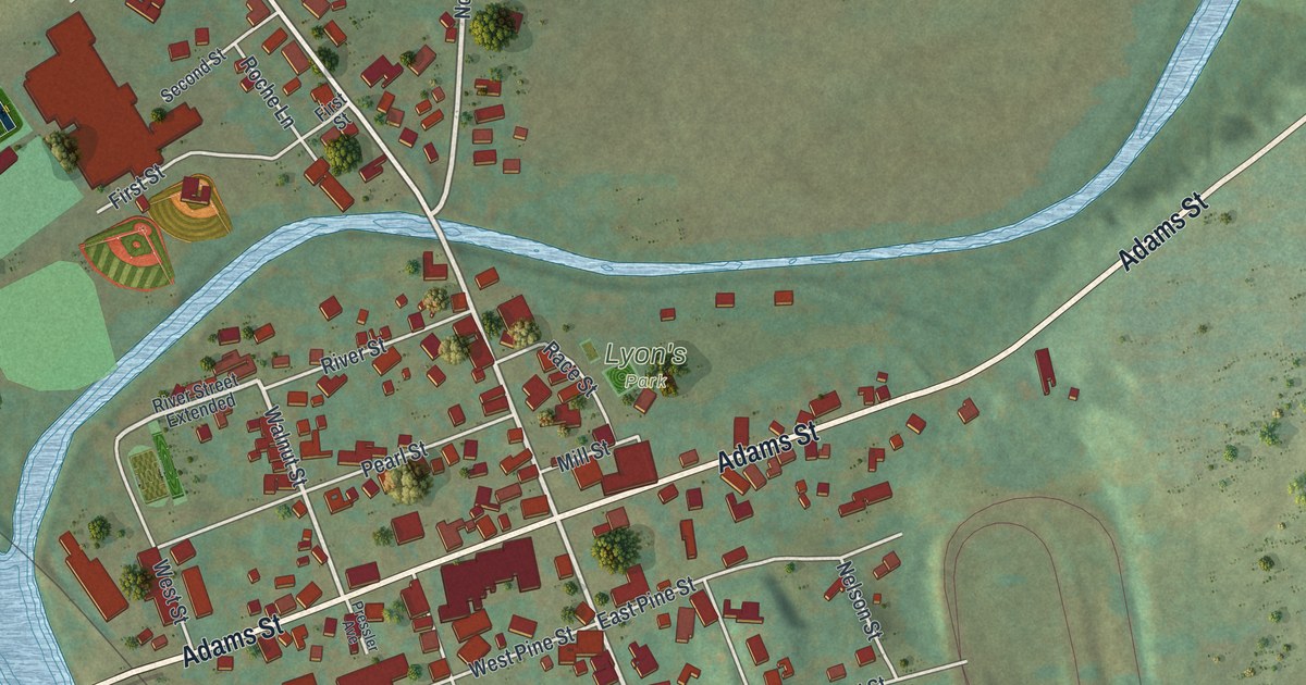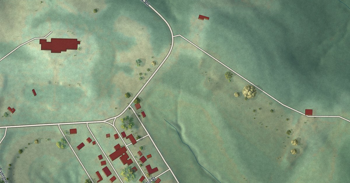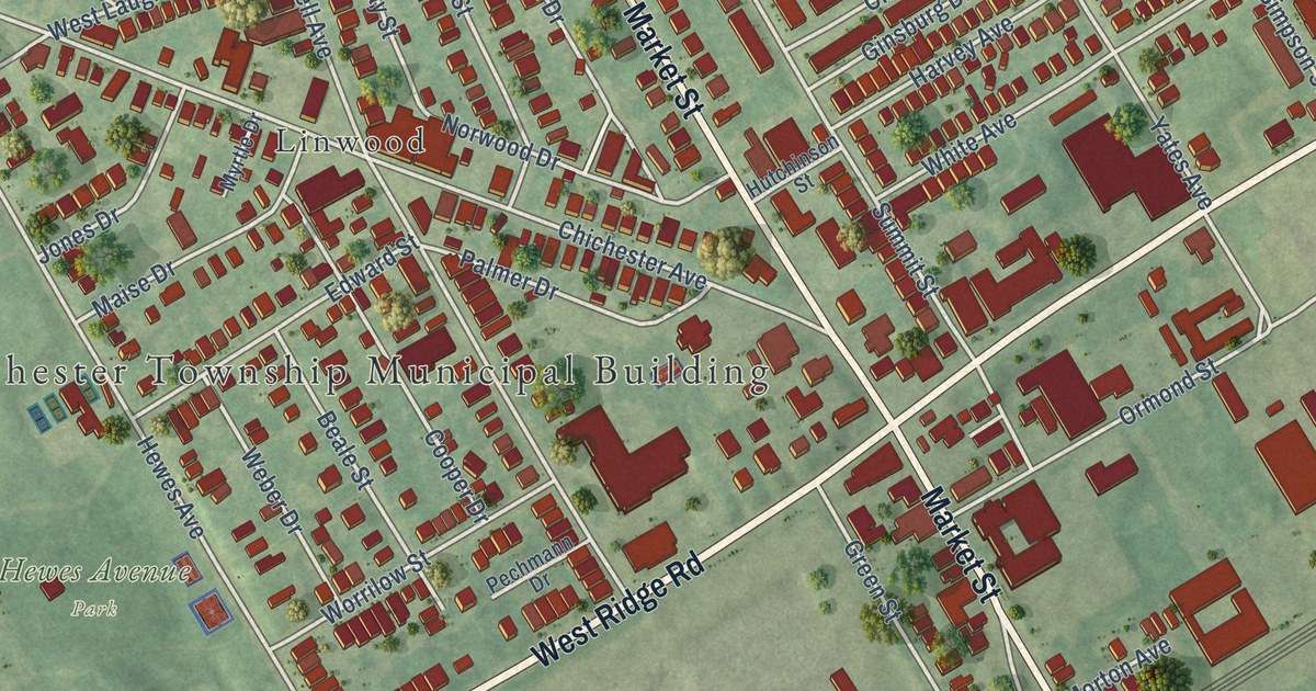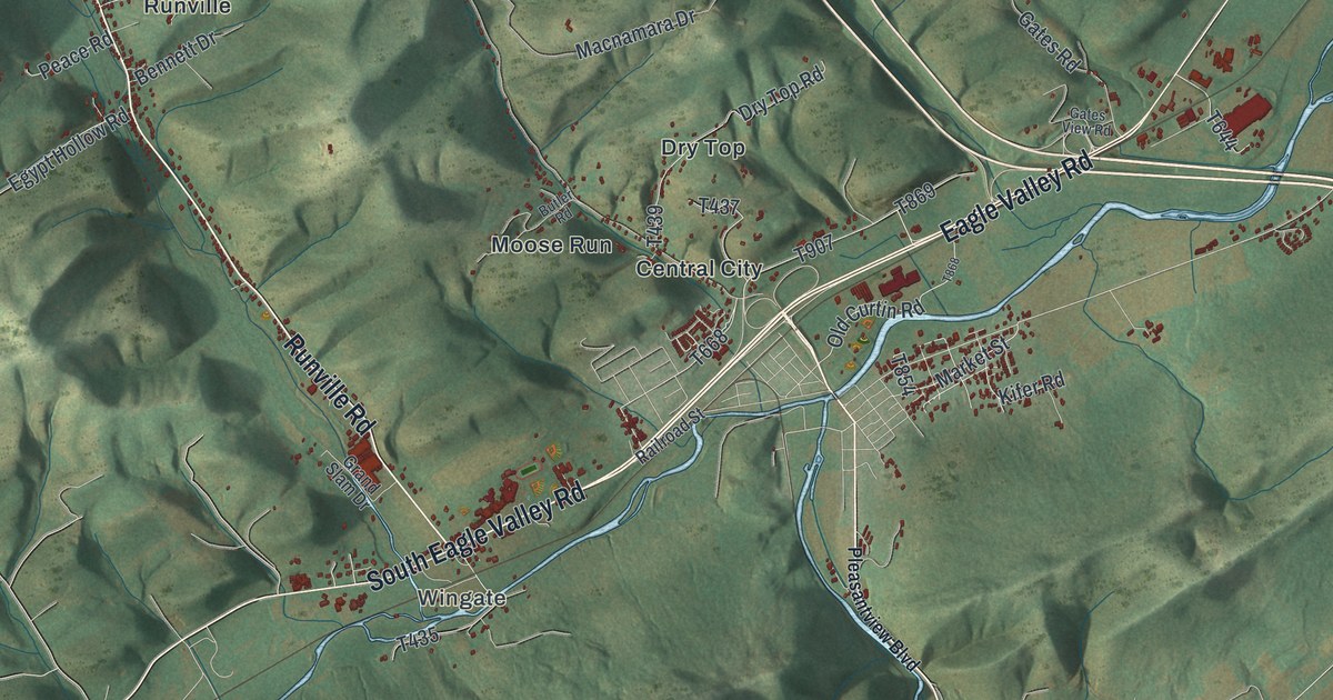
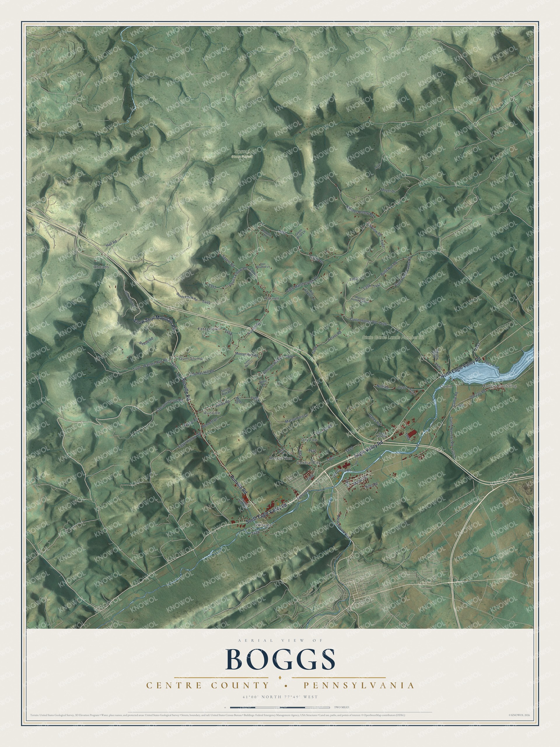
This beautifully detailed map of Boggs, Centre County, Pennsylvania was created in 2026 using aerial imagery combined with modern topographical, census, street and landmark data. It’s a one-of-a-kind view of Boggs that combines accurate data with a vintage aesthetic. The map shows every building in its true location, many of the roads carry their names, and the shaded topographic relief shows the shape of the land.
Explore an aerial view of Boggs, Centre County, Pennsylvania
On the map you’ll find Holters Crossing, Wingate, Sproul State Forest, State Game Lands Number 92, Central City, Curtin, Dry Top, Fetzertown, Gum Stump, Moose Run, Rhoads, Runville, and more. If you look closely you can even find your house accurately drawn in its correct location. Zoom in on the preview to look for yours.
Did you know this piece of Boggs, Centre County, Pennsylvania history?
Curtin Village in Boggs Township grew up around the Eagle Ironworks. Roland Curtin Sr. and Miles Boggs founded it in 1810. Roland was the father of Andrew Gregg Curtin, Pennsylvania’s governor during the Civil War. The ironworks closed in 1921, and the state now keeps the village as a historic site.
Take a closer look at the Boggs, Centre County map
Street and place names on the Boggs, Centre County, Pennsylvania map
These names are printed on the map of Boggs, Centre County, Pennsylvania.
Places: Holters Crossing, Wingate, Sproul State Forest, State Game Lands Number 92, Central City, Curtin, Dry Top, Fetzertown, Gum Stump, Moose Run, Rhoads, Runville and Yarnell.
Streets and roads: South Eagle Valley Road, Eagle Valley Road, North Eagle Valley Road, Runville Road, Snow Shoe Mountain Road, Devil's Elbow Road, Circle Road, State Game Lands Road, Chestnut Grove Road, Market Street, Old 220 Road, Thomas Hill Road.
More street names, A to Z
Antis Run Road, Bathurst Heights, Bennett Drive, Big Hickory Lane, Bullit Run Road, Butler Road, Confers Lane, Curtin Hollow Road, Curtin Narrows Road, Curtin Road, Deer Meadow Lane, Devils Elbow Road, Doe Ridge Lane, Dry Top Road, Egypt Hollow Road, Elbow Road, Fairview Road, Fetzer Road, Gates Road, Gates View Road, Grand Slam Drive, Green Briar Lane, Hall Road, Heverly Lane, Johnson Hill Road, Kifer Road, Little Marsh Creek Road, Lucas Road, Macnamara Drive, Miller Drive, Moose Run Road, Mountain Hollow Farm Lane, Moyer Drive, Neff Road, Old Curtin Road, Peace Road, Pleasantview Boulevard, Railroad Street, Reese Road, Richner Hollow Road, Sayers Road, Spirit Lane, Spring Run Road, Sumter Woods Lane, Wallace Run Road, Yarnell Road.
See the Boggs, Centre County, Pennsylvania map on a wall
The Boggs, Centre County map as an 18 x 24 inch print in a black frame.

This beautifully detailed map of Boggs, Centre County makes an attractive addition to your office, library, or den, and it can even be used to teach children the geography and history of the area. It also makes a great gift for someone who left Boggs and still calls it home. When you’re done exploring, click here to get your copy of the Boggs, Centre County map.