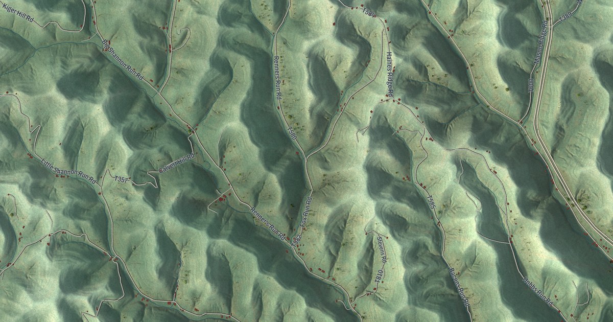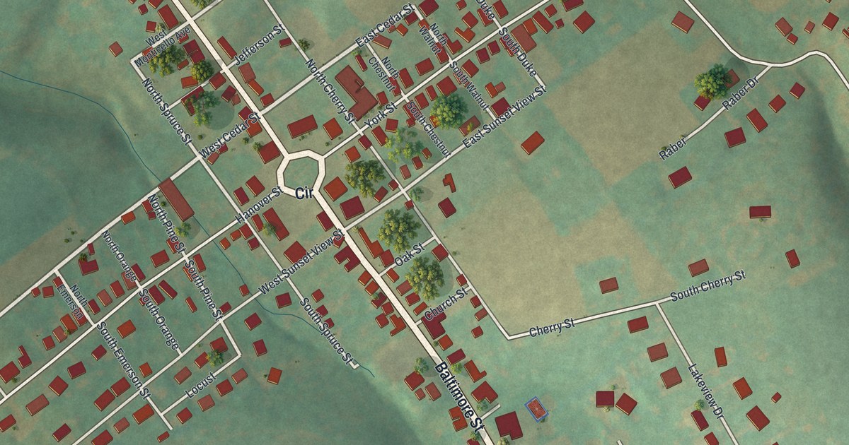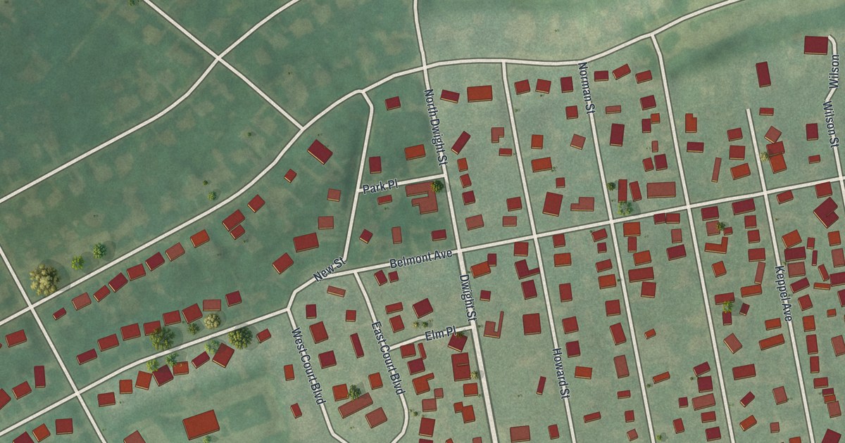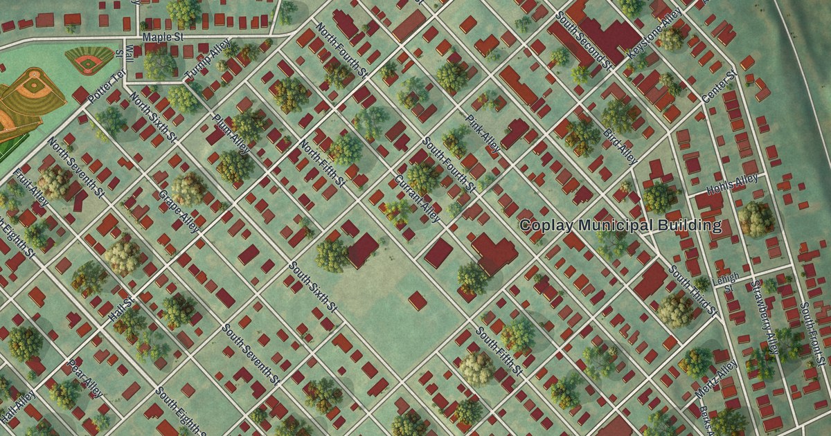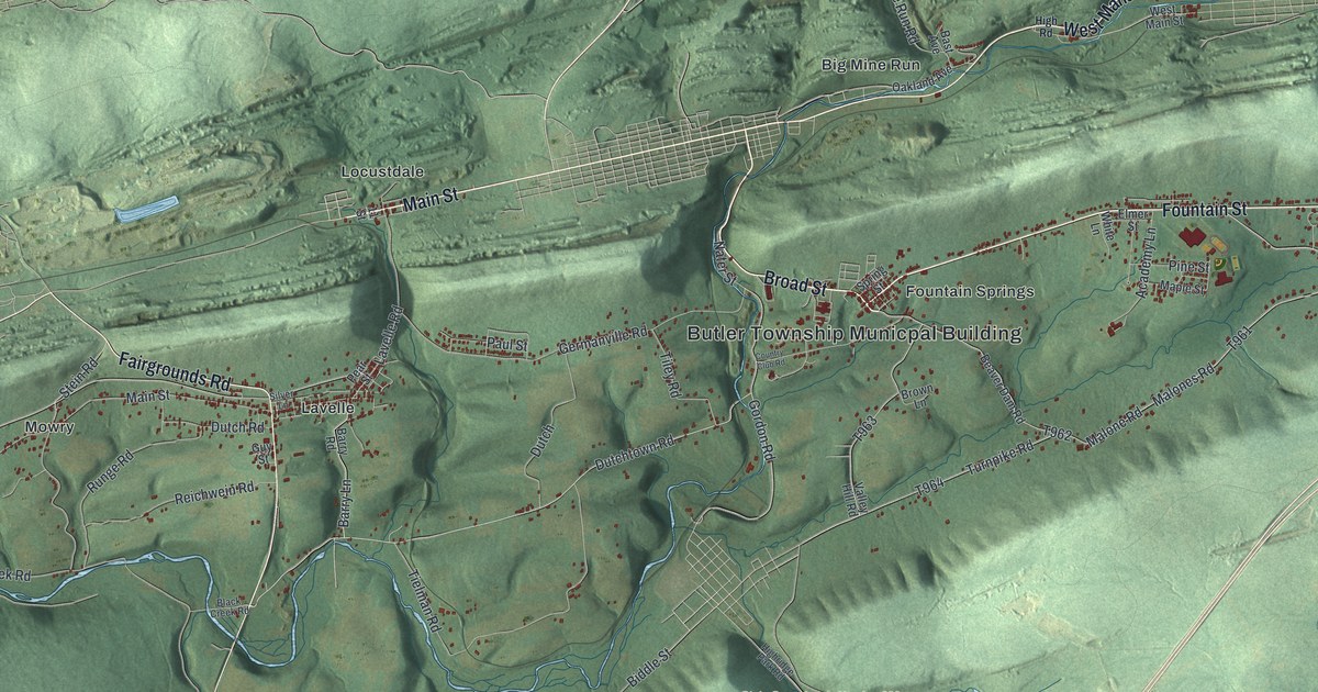
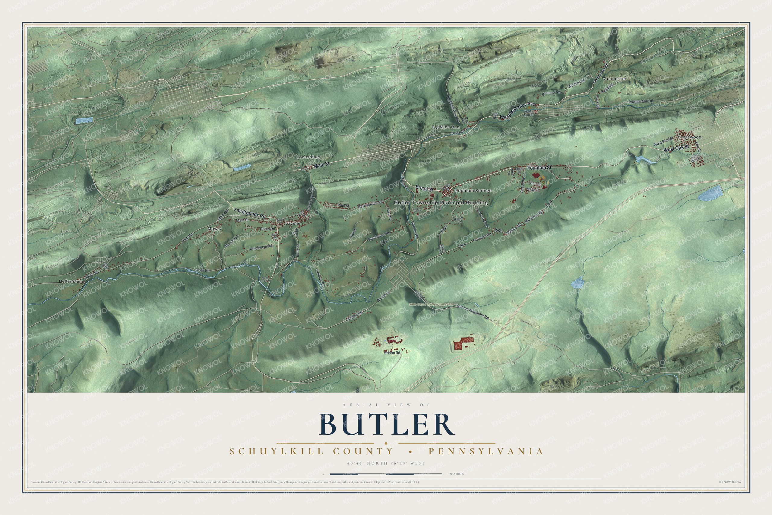
This beautifully detailed map of Butler, Schuylkill County, Pennsylvania was created in 2026 using aerial imagery combined with modern topographical, census, street and landmark data. It’s a one-of-a-kind view of Butler that combines accurate data with a vintage aesthetic. The map shows every building in its true location, many of the roads carry their names, and the shaded topographic relief shows the shape of the land.
Explore an aerial view of Butler, Schuylkill County, Pennsylvania
On the map you’ll find Butler Township Municpal Building, State Game Lands Number 326, Big Mine Run, Connerton, Englewood, Fountain Springs, Helfenstein, Lavelle, Locustdale, and Mowry, along with Fountain Street, West Oak Street, and more. If you look closely you can even find your house accurately drawn in its correct location. Zoom in on the preview to look for yours.
Take a closer look at the Butler, Schuylkill County map
Street and place names on the Butler, Schuylkill County, Pennsylvania map
These names are printed on the map of Butler, Schuylkill County, Pennsylvania.
Places: Butler Township Municpal Building, State Game Lands Number 326, Big Mine Run, Connerton, Englewood, Fountain Springs, Helfenstein, Lavelle, Locustdale and Mowry.
Streets and roads: Fountain Street, West Oak Street, Broad Street, Main Street, Fairgrounds Road, West Mahanoy Avenue, Big Mine Run Road, Wildcat Road, Airport Road, Biddle Street, High Road, Dutchtown Road.
More street names, A to Z
11 Street, Academy Lane, Barry Lane, Barry Road, Bast Avenue, Beaver Dam Road, Black Creek Road, Brown Lane, Connerton Street, Country Club Road, Creek Road, Duck Street, Dutch, Dutch Road, Elmer Street, Elm Street, Gap Road, Germanville Road, Gordon Mountain Road, Gordon Road, Guy Street, Highridge Park Road, Lavelle Road, Malone Road, Malones Road, Maple Street, Nater Street, Oakland Avenue, Paul Street, Pear Street, Pine Street, Powder Mill Road, Preston Hill, Prison Road, Rapp Road, Reichwein Road, Runge Road, Silver Lane, Spring Street, Stein Road, Tielman Road, Tiley Road, Turnpike Road, Upper Road, Valley Hill Road, West Main Street, West Pine Street, West Wall Street, White Lane.
See the Butler, Schuylkill County, Pennsylvania map on a wall
The Butler, Schuylkill County map as an 18 x 24 inch print in a black frame.

This beautifully detailed map of Butler, Schuylkill County makes an attractive addition to your office, library, or den, and it can even be used to teach children the geography and history of the area. It also makes a great gift for anyone with Butler roots. When you’re done exploring, click here to get your copy of the Butler, Schuylkill County map.