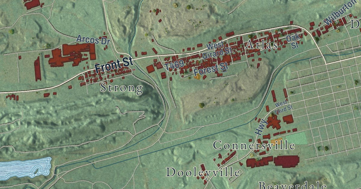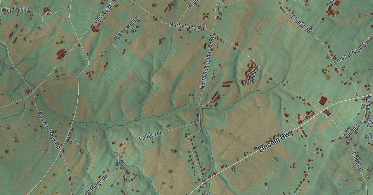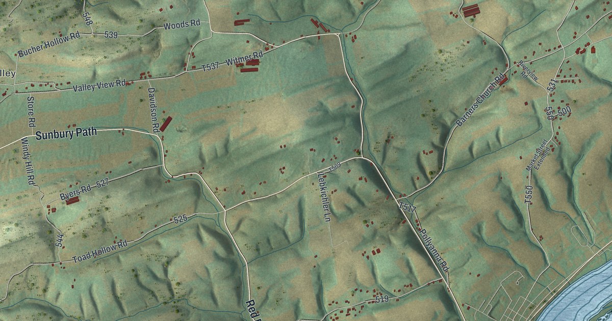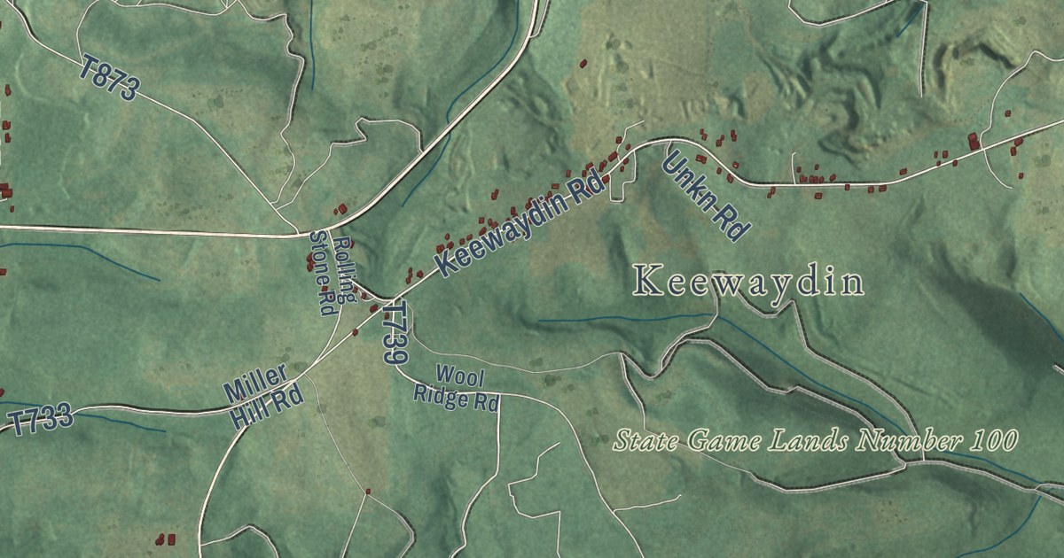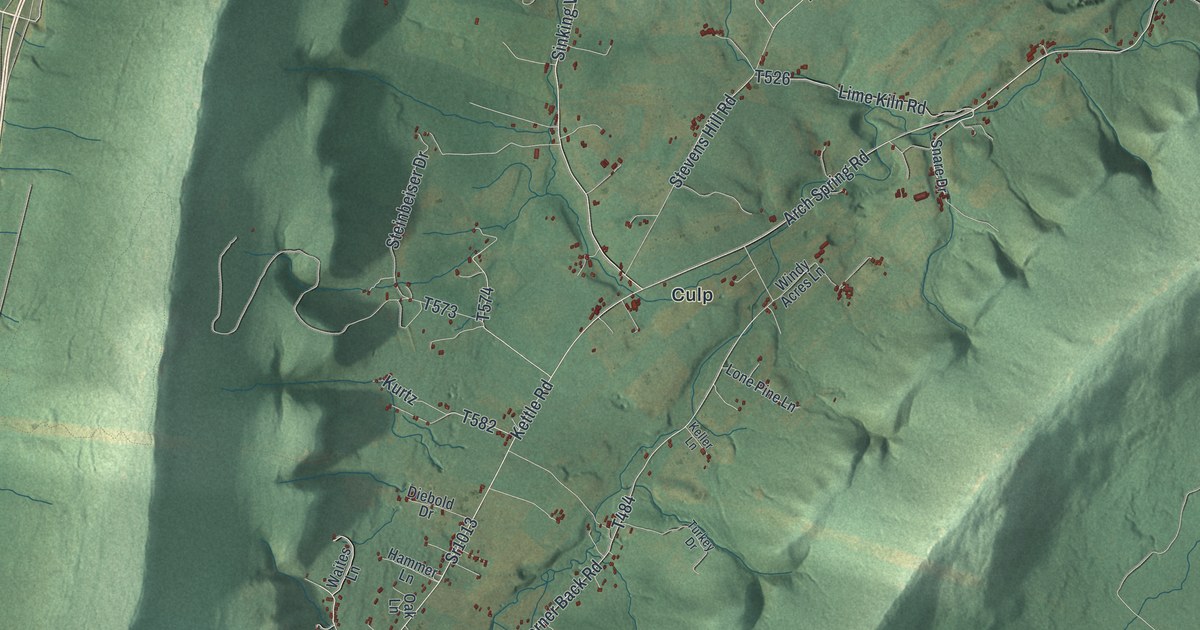
This beautifully detailed map of Tyrone Township, Blair County, Pennsylvania was created in 2026 using aerial imagery combined with modern topographical, census, street and landmark data. It’s a one-of-a-kind view of Tyrone Township that combines accurate data with a vintage aesthetic. The map shows every building in its true location, many of the roads carry their names, and the shaded topographic relief shows the shape of the land.
Explore an aerial view of Tyrone Township, Blair County, Pennsylvania
On the map you’ll find State Game Lands Number 166, Arch Spring, Culp, Elberta, Sickles Corner, and Skelp, along with Birmingham Pike, Kettle Road, Sinking Valley Road, and more. If you look closely you can even find your house accurately drawn in its correct location. Zoom in on the preview to look for yours.
Did you know this piece of Tyrone Township, Blair County, Pennsylvania history?
Fort Roberdeau, also called the Lead Mine Fort, stands in Tyrone Township. General Daniel Roberdeau built it of logs in 1778, during the American Revolution, to protect lead mining there from Native Americans and Tories. It stayed in use until 1780. The stockade was rebuilt as a Bicentennial project in 1975 and 1976.
Take a closer look at the Tyrone Township, Blair County map
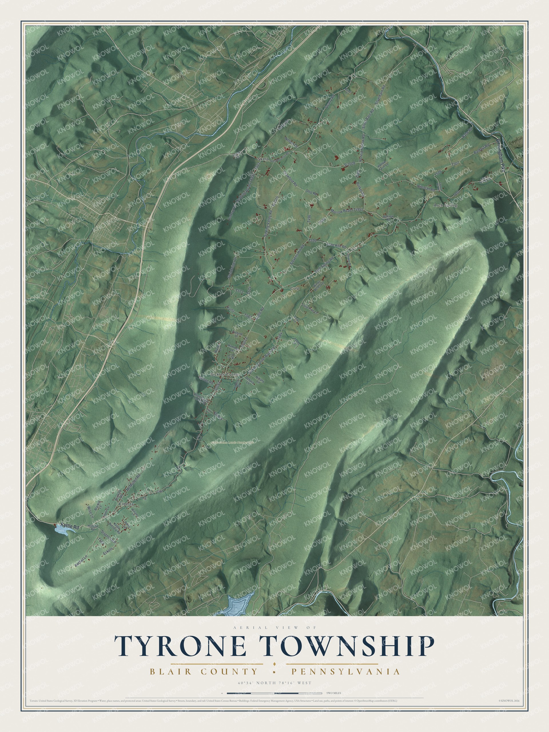
Street and place names on the Tyrone Township, Blair County, Pennsylvania map
These names are printed on the map of Tyrone Township, Blair County, Pennsylvania.
Places: State Game Lands Number 166, Arch Spring, Culp, Elberta, Skelp and Sickles Corner.
Streets and roads: Birmingham Pike, Kettle Road, Sr1008, Sr1015, Sinking Valley Road, Quarry Road, Silverbarn Road, Sr1013, Hileman Road, Arch Spring Road, Babe Road, Sickles Corner Back Road.
More street names, A to Z
Alison Road, Arch Springs Road, Baldauf Road, Blackie Lane, Brickley Road, Burket Road, Burns Drive, Church Hill Road, Crawford Road, Defuria Lane, Dick Lane, Diebold Drive, Eckels, Hammer Lane, Hedberg Road, Holland Road, Hollow Farm Lane, Honest Hollow Road, Keller Lane, Kettle Nursery Road, Kurtz, Laurel Lane, Lime Kiln Road, Lone Pine Lane, Luke Lane, Maines Drive, McMullen Road, Morrow Road, Nelson Drive, Nittany Lane, Oak Lane, Otto Road, Parks Drive, Perry Lane, Redtail Lane, Silver Barn Road, Skelp Mountain Road, Snare Drive, Stagecoach, State Game Lands Road, Steinbeiser Drive, Stevens Hill Road, Stitt Lane, Stoney, Turkey Drive, Waites Lane, Williams Lane, Windy Acres Lane, Wise Lane, Yoders Drive.
See the Tyrone Township, Blair County, Pennsylvania map on a wall
The Tyrone Township, Blair County map as an 18 x 24 inch print in a black frame.

This beautifully detailed map of Tyrone, Blair County makes an attractive addition to your office, library, or den, and it can even be used to teach children the geography and history of the area. It also makes a great gift for anyone with Tyrone Township roots. When you’re done exploring, click here to get your copy of the Tyrone, Blair County map.