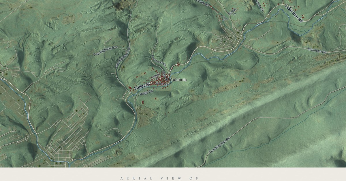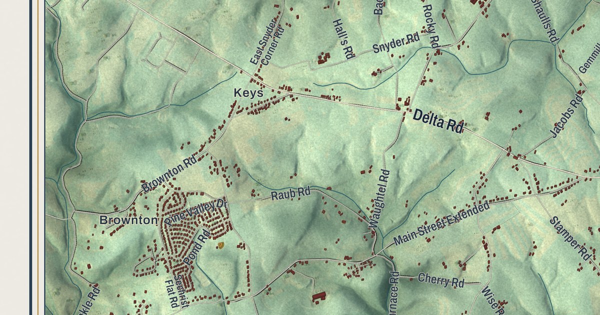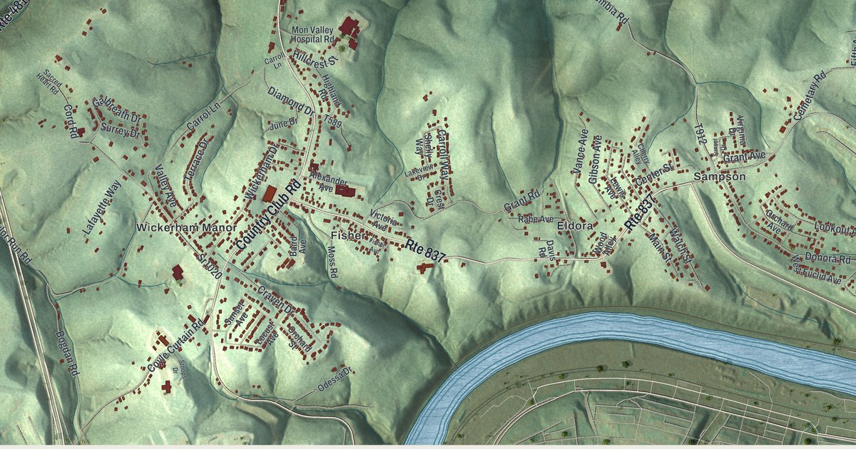
If you grew up in Carroll Township, or you know the drive up Country Club Road, this map gives you plenty to find. It's a modern aerial view of Carroll Township in Washington County, Pennsylvania, made from modern data with a vintage look. Shaded green hills fold between the villages, and each home and shop is a small red shape. The Monongahela River isn't labeled, but you can see it wind across the top and wrap around the right side. Explore the print options for Carroll, Washington County.
Baidland, Wickerham Manor and Rte 837
Start at Baidland in the upper left, where Dry Run Road runs past rows of homes. Dry Run Road heads east toward the river. Hazel Kirk Road drops south from it, past Snyder Avenue and Billen Avenue, down to Hazel Kirk. From there, Bentleyville Road keeps going south to Cracker Jack, where Narrow Gauge Road branches off. Now go back and follow Rte 481 south through Frye. In the middle of the sheet, Country Club Road runs south past Mon Valley Hospital Road to Wickerham Manor. Rte 837 heads east from there through Fisher and Eldora to Sampson, then bends north along the river to Victory Hills. Grandview sits at the bottom right, near Donora Road. Many roads are labeled, and each red shape is a building, so zoom in on the preview and look for yours.
Knox Township and the 1814 town of Columbia
Carroll Township was formed on September 30, 1834, from parts of Nottingham and Fallowfield townships. The men who first marked its lines named it Knox Township. The court changed the name to Carroll. That story is told in an 1871 history of Washington County. The same book counts 1,901 people here in 1860. There were nine schools with 486 students. There were two grist mills, a paper mill and five coal mines.
The book also tells how the town of Columbia got its start. On September 12, 1814, Charles DeHass laid it out on Mr. Hoover's farm, four miles above Williamsport. Williamsport was an old name for Monongahela City. To sell lots, DeHass said a new county might be formed, with Columbia right in the middle. So he planned big lots and wide streets and alleys. He set aside ground for a church, a school, a burying ground and public buildings. When the book was written, Columbia had about 200 people, in a deep bend of the river.
The map doesn't label a town called Columbia. The river isn't labeled either, but you can follow its deep curves around the right side of the sheet. Columbia Road, which shares the old town's name, is printed in the lower right. It climbs from Rte 837 past Victory Hills and Sampson to Donora Road.
A map for Hazel Kirk, Eldora and Victory Hills
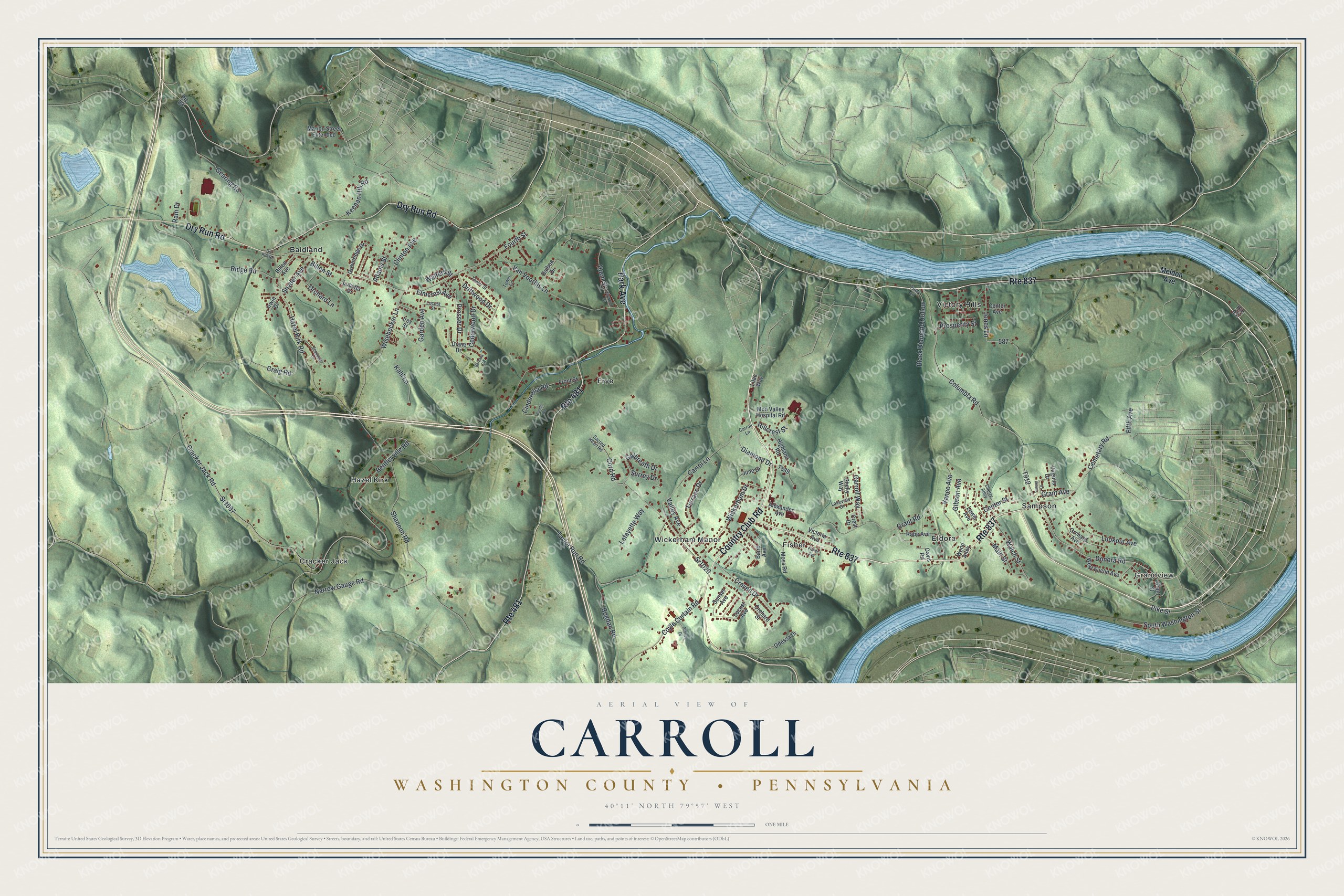
Created by KNOWOL in 2026, this Carroll Township map suits an office, a den or a kitchen wall. The shaded hills come from USGS elevation data, and the river is drawn in soft blue. The title panel reads "Aerial View of Carroll, Washington County, Pennsylvania," with the coordinates 40°11' North, 79°57' West and a one-mile scale bar.
It's a thoughtful gift for someone who grew up in Carroll Township, went to school here or moved away from the valley. Open the watermarked preview, zoom in and find the road you know. Shop the Carroll, Washington County, Pennsylvania map.