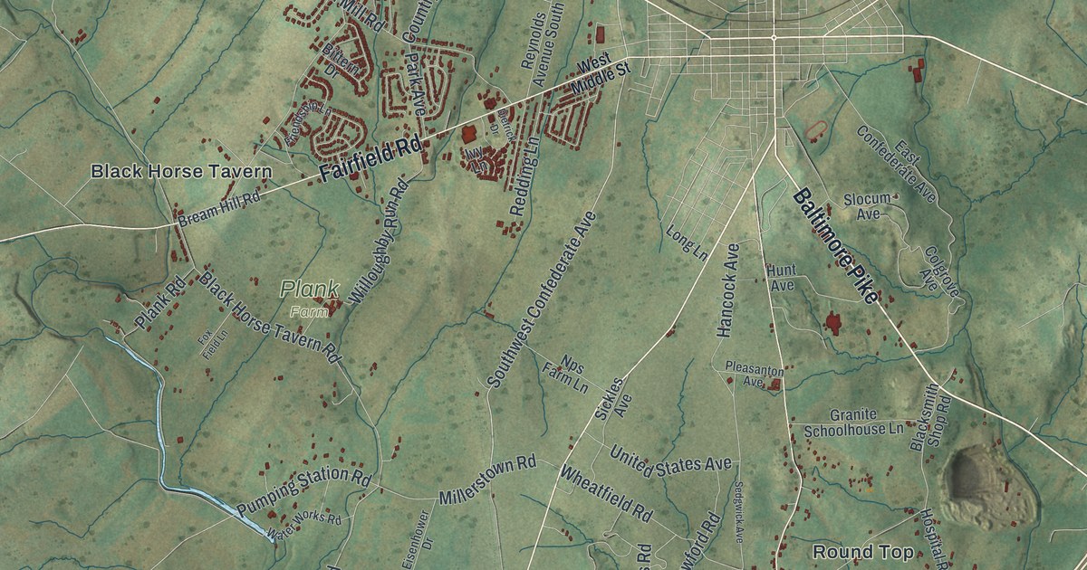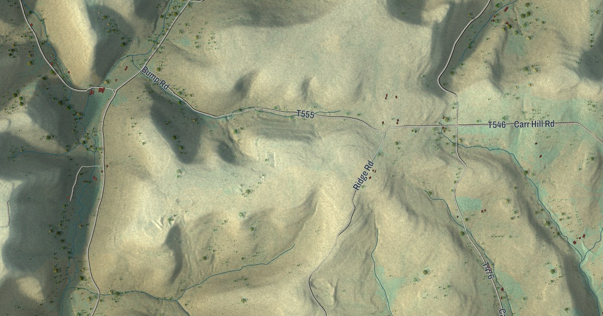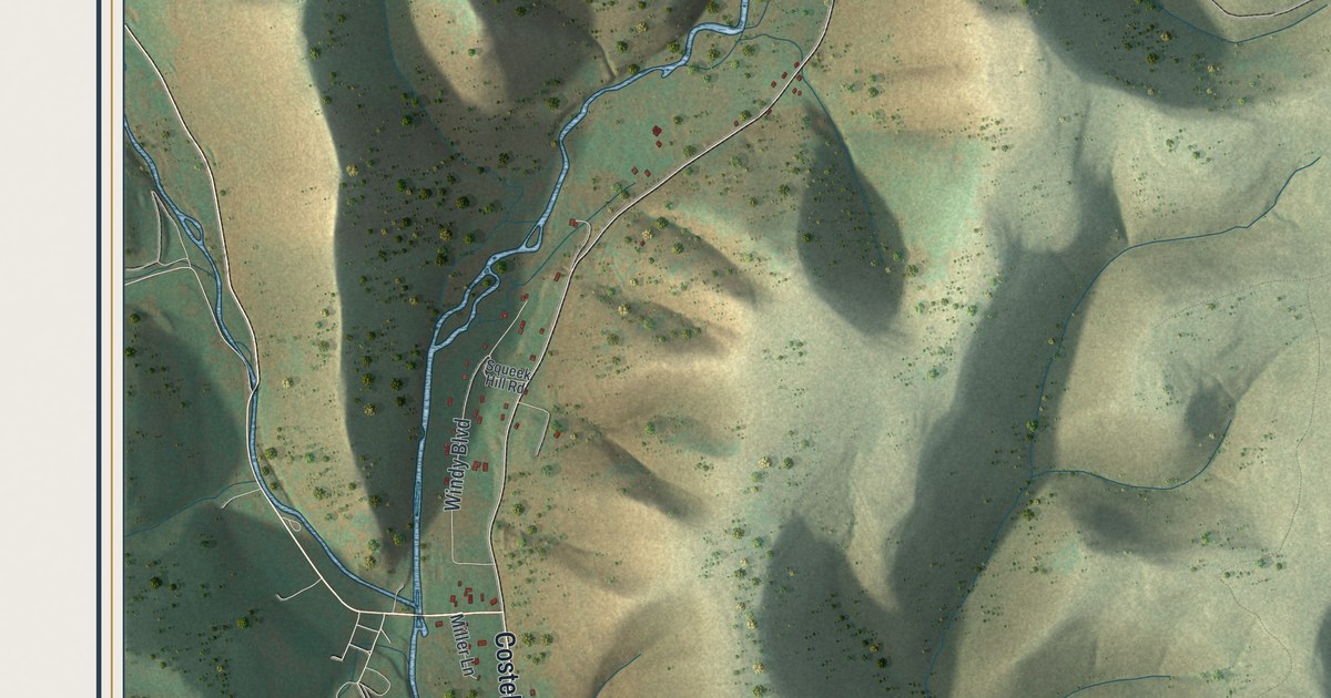
If you grew up in Chanceford Township, or you know the crossroads at Brogue, this map gives you plenty to find. It's a modern aerial view of Chanceford Township in York County, Pennsylvania, made from modern data with a vintage look. The green hills are shaded so every ridge and hollow stands out, and each building is a small red shape. The Susquehanna River isn't labeled, but you can see it run in blue along the upper right edge. Explore the print options for Chanceford.
Brogue, Delta Road and the wooden shoe sign
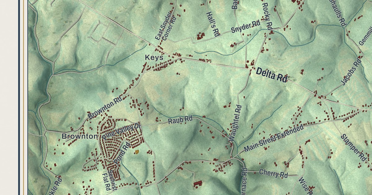
Start at Brogue, near the middle of the sheet. Delta Road, Muddy Creek Forks Road and Lucky Road all pass through it. Take Delta Road west to Keys. From there, Brownton Road runs down to Brownton, where the homes sit close together on the left side of the map. Then go back to Brogue and follow Delta Road the other way. It heads southeast to Collinsville, with Gum Tree Road and Collinsville Road branching off. Muddy Creek Forks Road runs south from Brogue, past Stamper Road and Old Forge Road. Laurel and Brogueville sit off to its west, and Highrock is down near the bottom edge. Now take Lucky Road northeast to Lucky, where it meets Furnace Road. Furnace Road runs west to New Bridgeville and east toward Shenks Ferry. Lockport is printed beside the river at the upper right. Many roads are labeled, and each red shape is a building, so zoom in on the preview and look for yours.
Brogue got its name from a shoe. The story is told in the 1886 History of York County. One of the first buildings in the township was a rough tavern. It stood near what the book calls the York and Peachbottom road. Settlers heading west stopped there to rest and eat. One traveler saw that the inn had no sign. So he hung up a wooden shoe, called a brogan. He said, "let that be the sign, and henceforth let it be known as 'The Brogue.'" The book says the name was still used in 1886. On this map, Brogue is still printed in the middle of the township, right on Delta Road.
The same chapter says Scotch-Irish families settled the south half of Chanceford around 1735. They started the Guinston church in about 1754 and built a stone church in 1773. That church is on the National Register of Historic Places, east of Laurel. It isn't labeled here, but Guinston Road is printed near the bottom of the sheet. The book also says Lockport once had a dam across the river so boats could cross to a waterway that ran to Lancaster. In the west part of the township stood Manor Furnace, an iron furnace. Its ore was poor, and the only way to haul it was by wagon. After sixteen years it "blowed out" for good. Manor Furnace Road still carries the name in the lower left. In 1880 the township had 2,994 people, and the 2020 census counted 5,936.
A map for Brogue, Collinsville and New Bridgeville
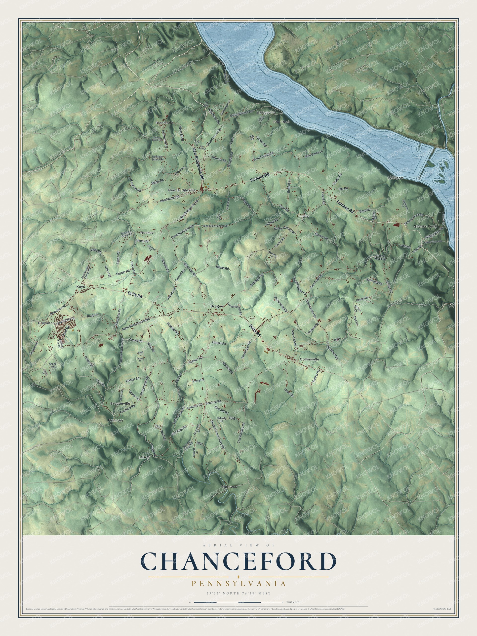
Created by KNOWOL in 2026, this Chanceford Township map fits a den, a kitchen or a farmhouse office. The shaded hills come from USGS elevation data, and the river is drawn in soft blue. The title panel reads "Aerial View of Chanceford, Pennsylvania," with the coordinates 39°53' North, 76°28' West and a two-mile scale bar.
It's a thoughtful gift for someone who grew up near Brogue or Collinsville, has family on these back roads, or moved away from York County. Open the watermarked preview, find Brogue in the middle and trace the road you know. Shop the Chanceford, Pennsylvania map.