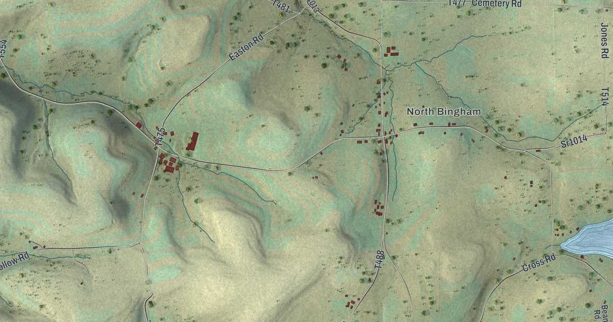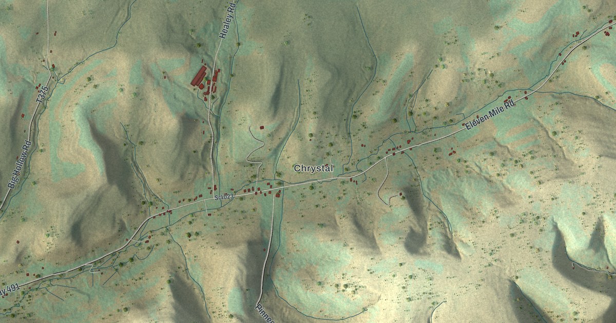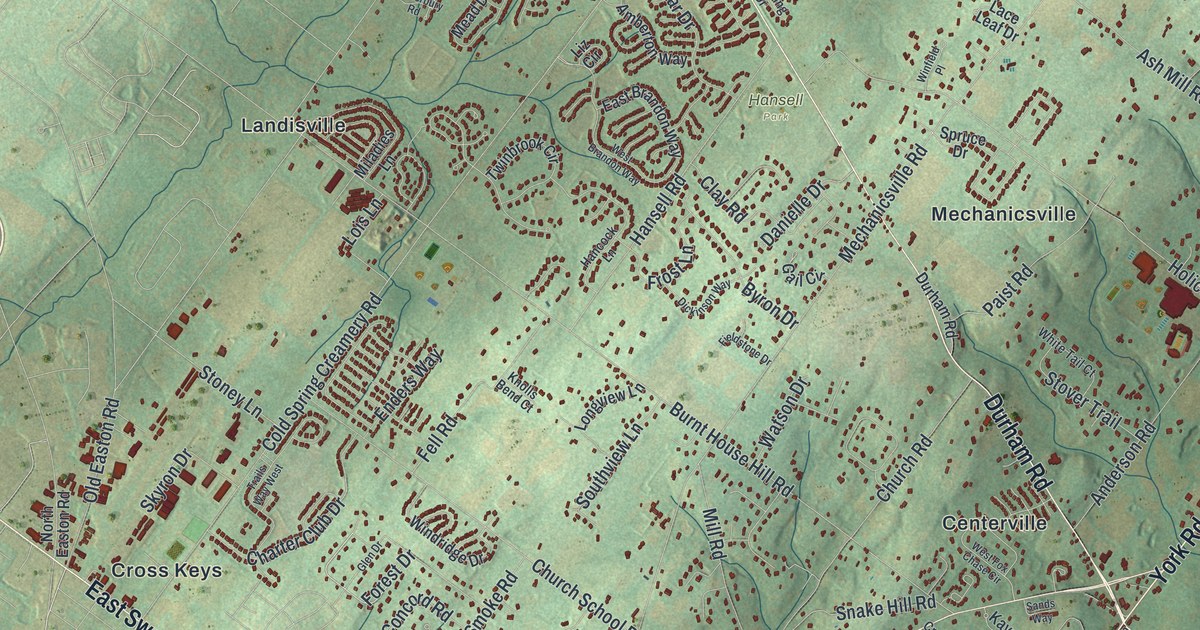
If you grew up in Fredericksburg, Shirksville or Mount Zion, or still have family on these back roads, this map gives you plenty to find. It's a modern aerial view of Bethel Township in Lebanon County, Pennsylvania, made from modern data with a vintage artistic feel. Long green ridges of the Blue Mountains fill the top of the sheet. Below them, William Penn Highway cuts across the middle through Fredericksburg. Red buildings dot the farm roads all the way south to Freeport Mills and Mount Zion. Explore the print options for Bethel, Lebanon County.
From Fredericksburg to Mount Zion
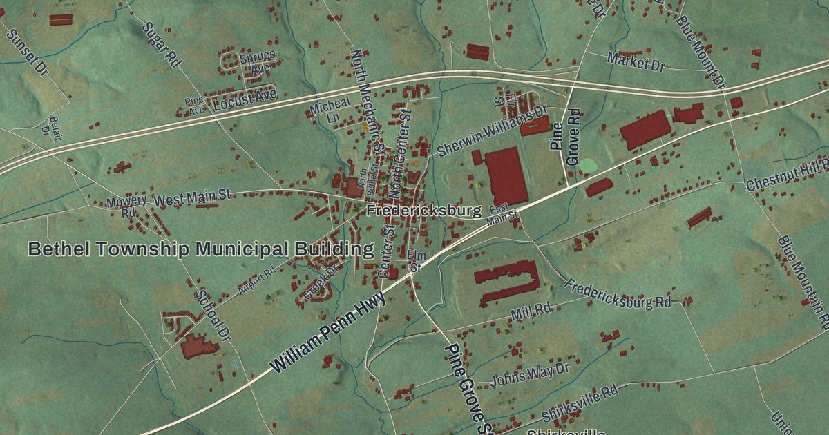
Start at the Bethel Township Municipal Building in the middle of the sheet. Center Street runs past it through Fredericksburg, and Elm Street meets Center Street right beside it. A state historical marker says James Lick was born in Fredericksburg in 1796. He became a California financier and gave the money for the Lick Observatory. William Penn Highway crosses town from west to east. Now take Pine Grove Street south, past Mill Road, to Shirksville. From there, Shirksville Road heads east to Mount Zion Road. Follow Mount Zion Road south past Greble Road, and you'll reach Mount Zion near the bottom right. Freeport Mills sits just west of it on Freeport Road. Hamlin is up near William Penn Highway on Chestnut Hill Road, and Greble is out east on Greble Road. Many of the roads are labeled, and each red shape is a building, so zoom in on the preview and look for yours.
How Bethel got its name, and a raid in 1756
In May 1739, people in Lebanon township told the Lancaster County court their township was too big. The court split it in two, and the northern part became Bethel. The name came from a Moravian settlement on the Swatara called Bethel. The word means "House of God." According to the 1883 History of the Counties of Dauphin and Lebanon, the Moravians built a church there about 1740. The same book says two ranges of the Blue Mountains cross the upper township. The valley between them is Monroe Valley. A smaller one to the north is Swope's Valley. Both names are still on the map as roads. Monroe Valley Drive runs past State Game Lands Number 80, in the valley below the big ridge. Swopes Valley Road runs along the top of the sheet.
The Bethel chapter of that history also copies a newspaper report of a raid on June 8, 1756, during the French and Indian War. Four or five raiders struck a farm at a place called "The Hole," where the Swatara runs through the Blue Mountain. Felix Wuench was shot while plowing and killed. His wife was carried off with three children, and the house was set on fire. A servant boy ran to a neighbor, George Miess. Miess had a bad leg. He ran after the raiders anyway with his son, making a great noise, and the raiders fled. They left a tub of butter and a side of bacon behind. They'd already drunk all the cider in the spring-house. Miess pulled down the fences so the fire wouldn't reach the barn. The Hole isn't labeled on the map. Swatara Creek isn't labeled either, but it's drawn in blue near Swatara State Park, printed in the top left corner.
For someone from Bethel and Monroe Valley
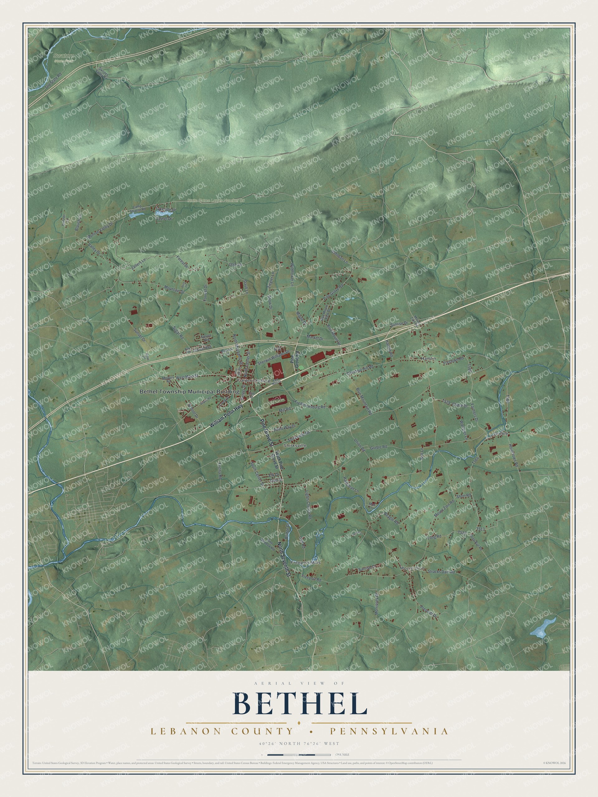
Created by KNOWOL in 2026, this Bethel map shows the township's crossroads villages, its farm roads and the long ridges to the north. The shaded hills come from USGS elevation data, and each small red shape is a building. The title panel reads "Aerial View of Bethel, Lebanon County, Pennsylvania," with the coordinates 40°26' North, 76°26' West and a one-mile scale bar.
It suits a kitchen, a den or a farm office. It's a thoughtful gift for someone who grew up in Fredericksburg, has family out near Mount Zion or moved away from the valley. Open the preview, zoom in and find the road you know. Shop the Bethel, Lebanon County, Pennsylvania map.