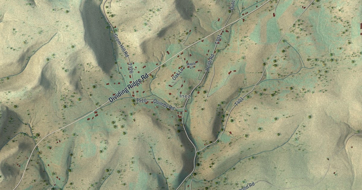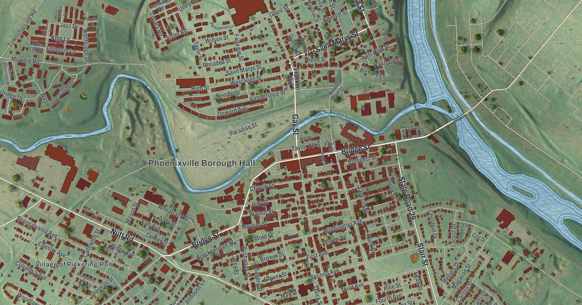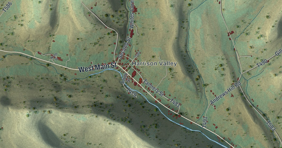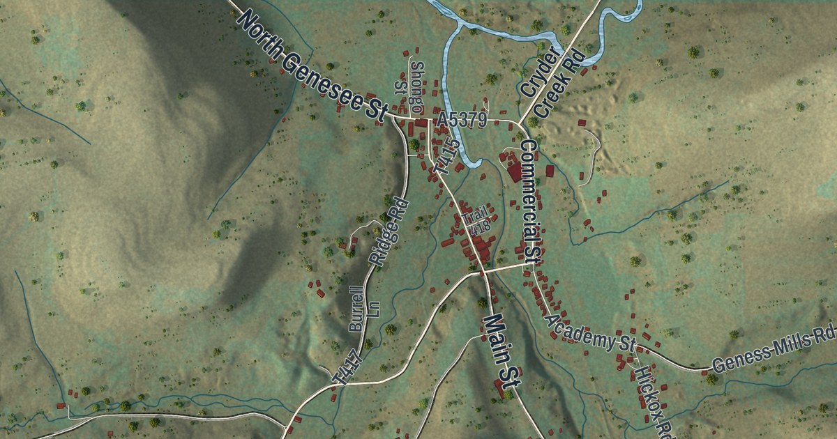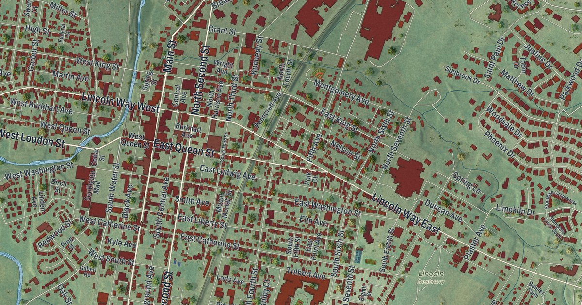
If you grew up in Chambersburg, went to Wilson College, or still have family a few blocks from the square, this map gives you plenty to find. It's a modern aerial view of Chambersburg, the county seat of Franklin County, Pennsylvania, made from modern data with a vintage look. Close to 9,000 buildings are drawn in deep red on soft green hills. Main Street runs up the middle of town, and a blue creek winds down the west side. Explore the print options for Chambersburg.
From the square on Main Street to Memorial Park
Start at the square in the middle of town, where Lincoln Way crosses Main Street. Lincoln Way West heads left toward the creek, and West Loudon Street runs just below it. Lincoln Way East heads the other way, out across the right side of the sheet. Now go north on Main Street. It turns into Philadelphia Avenue and climbs toward the top right corner, with Edgar Avenue, Norland Avenue and Horst Avenue close by. Back at the square, go south. South Main Street runs almost straight to the bottom of the sheet. Just east of it, South Second Street and Wayne Avenue angle off to the southeast. Past Wayne Avenue, Memorial Park is printed beside Stouffer Avenue, and Lincoln Cemetery is named a little farther north. Many of the roads are labeled, and each red shape is a building, so zoom in on the preview and look for yours.
Benjamin Chambers settled here in 1734 and laid out "Chambers Town" in 1764. In 1756 he put a stockade and cannon around his house and mill. A state historical marker places that fort on West King Street by the Conococheague Creek. That's the creek winding down the west side of this map, though it isn't labeled. The Civil War came to town three times. Jeb Stuart raided it in 1862. On June 26, 1863, Gen. Robert E. Lee rode into the square, which people called the Diamond. He met with Gen. A.P. Hill near the middle of it. Days later, from a grove at the edge of town, Lee ordered his army to gather near Gettysburg.
The worst came a year after that. On the morning of July 30, 1864, Confederate cavalry under Gen. John McCausland took the town. He asked for a ransom and didn't get it, so he burned Chambersburg. The marker on the square says it was payback for the damage Gen. David Hunter had done in the Shenandoah Valley.
Some buildings made it through, and you can find their streets on the map. The fire was stopped at the Suesserott House, where South Main Street meets West Washington Street. The Masonic Temple on South Second Street, near East Queen Street, was spared. It was built in 1823 and 1824, and it's the oldest building in Pennsylvania put up only for Masons. The old Franklin County Jail, built in 1818, sits at East King Street and North Second Street. It survived the fire and stayed in use for 152 years. Just east of it on East King Street is a house where John Brown boarded in the summer of 1859 under the name "Smith." That October, he led his raid on Harpers Ferry.
For anyone who knows the square and Philadelphia Avenue
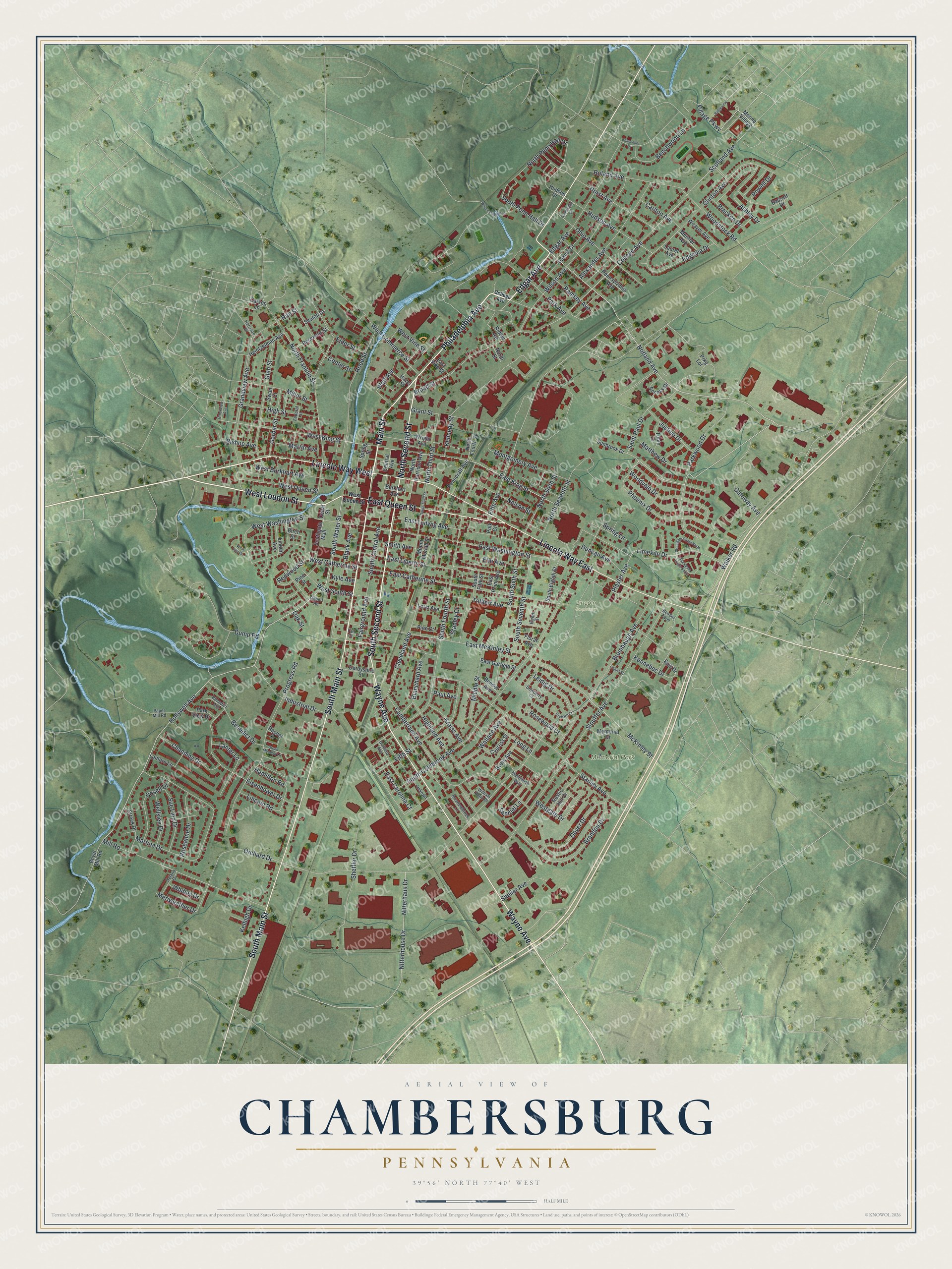
Created by KNOWOL in 2026, this Chambersburg map shows the borough and the open country around it, with buildings in deep red and the hills shaded from USGS elevation data. The title panel reads "Aerial View of Chambersburg, Pennsylvania," with the coordinates 39°56' North, 77°40' West and a half-mile scale bar.
Hang it in an office, a den or a front hall. It makes a thoughtful gift for a Wilson College grad, or for anyone who grew up in Chambersburg and moved away. Open the preview, start at the square and find your street. Shop the Chambersburg, Pennsylvania map.