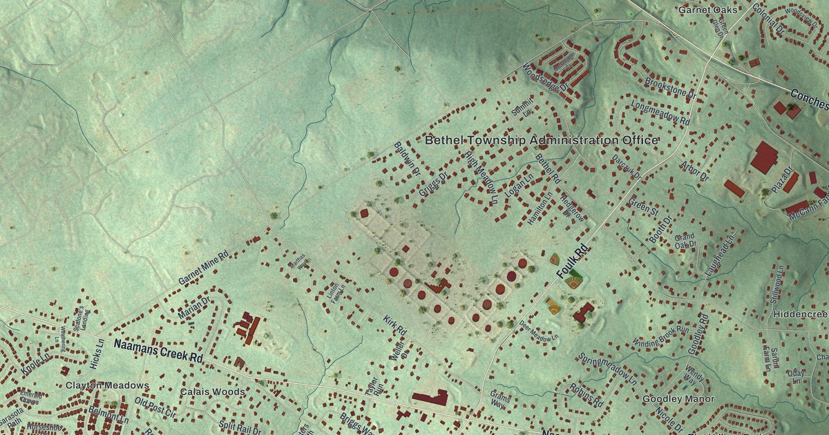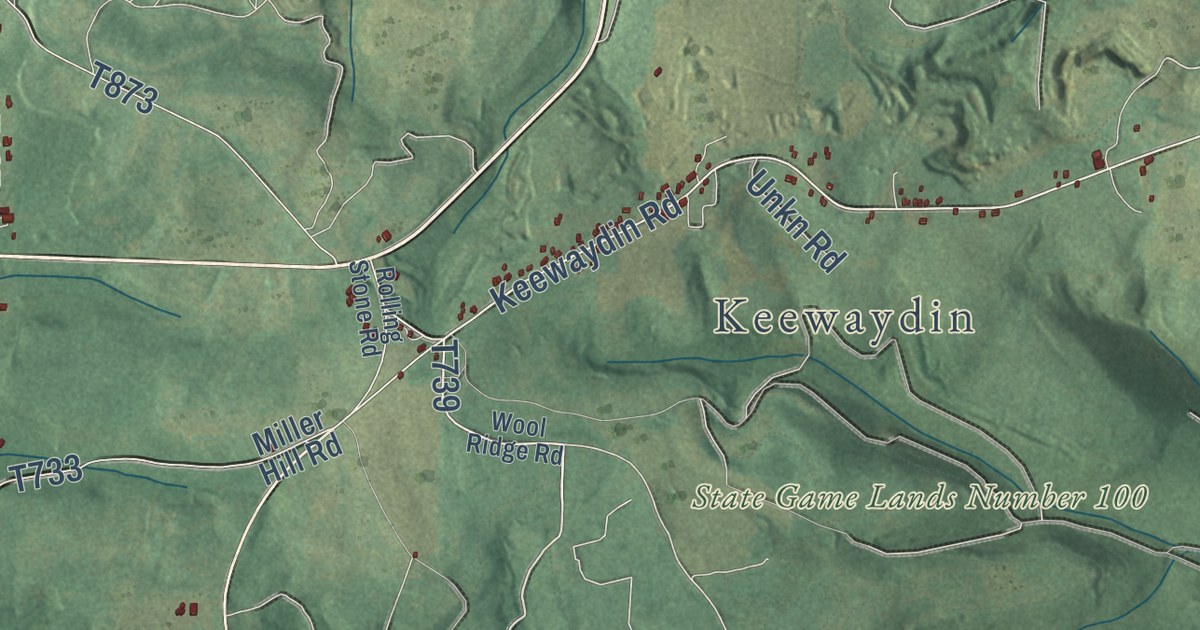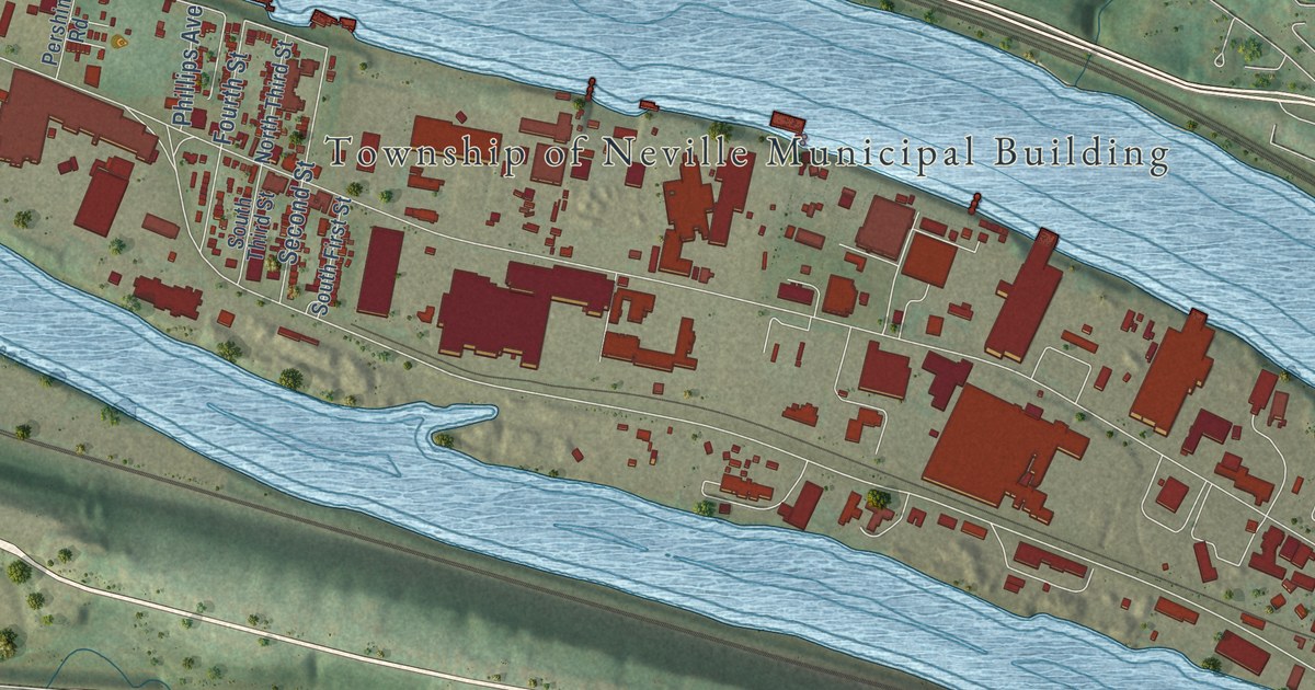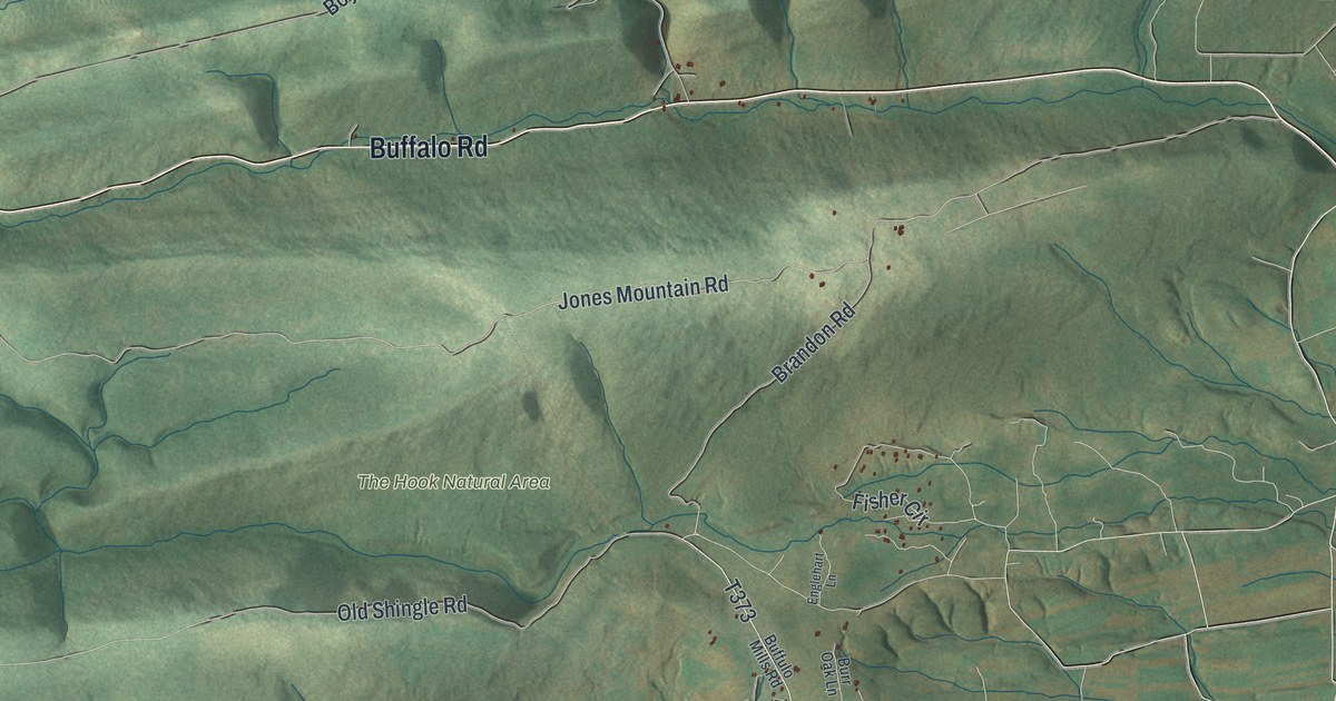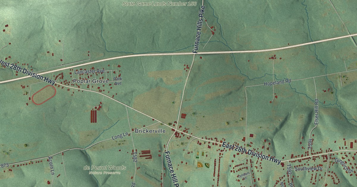
This beautifully detailed map of Elizabeth, Lancaster County, Pennsylvania was created in 2026 using aerial imagery combined with modern topographical, census, street and landmark data. It’s a one-of-a-kind view of Elizabeth that combines accurate data with a vintage aesthetic. The map shows every building in its true location, many of the roads carry their names, and the shaded topographic relief shows the shape of the land.
Explore an aerial view of Elizabeth, Lancaster County, Pennsylvania
On the map you’ll find Rannels Kettle Run Nature Preserve, State Game Lands Number 156, State Game Lands Number 46, de Perrot Woods Nature Preserve, Brickerville, Elm, Halfville, Poplar Grove, and Speedwell, along with West 28th Division Highway, East 28th Division Highway, Furnace Hill Pike, and more. If you look closely you can even find your house accurately drawn in its correct location. Zoom in on the preview to look for yours.
Did you know this piece of Elizabeth, Lancaster County, Pennsylvania history?
Elizabeth Township was formed from part of Warwick in 1757 and named by Baron Henry William Stiegel. That same year Stiegel and his partners built a new furnace there. They called it Elizabeth Furnace, in honor of Stiegel’s wife Elizabeth and Alexander Stedman’s wife Elizabeth. Their holdings grew farm by farm until they reached ten thousand acres. That’s from the 1883 History of Lancaster County, Pennsylvania.
Take a closer look at the Elizabeth, Lancaster County map
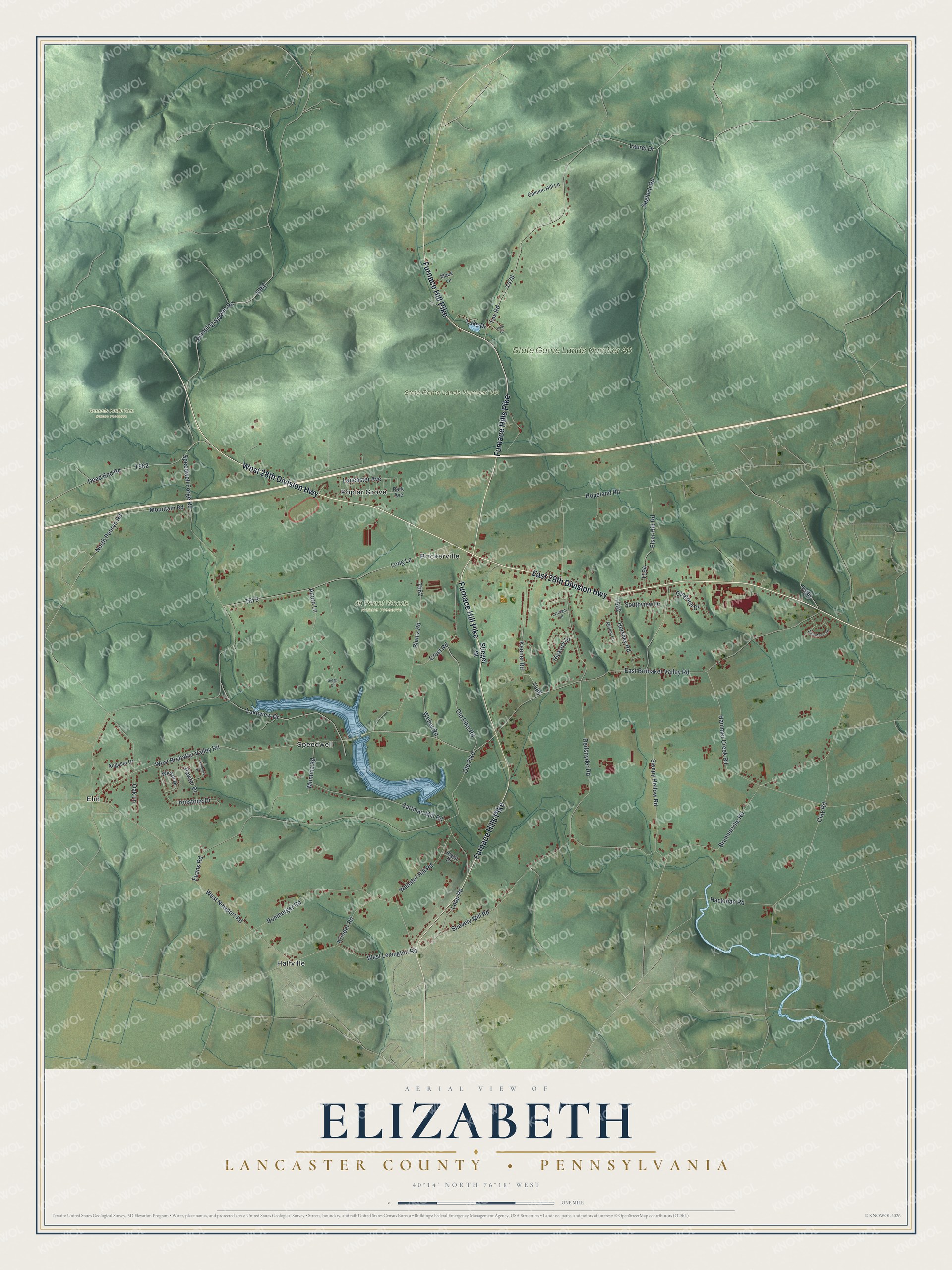
Street and place names on the Elizabeth, Lancaster County, Pennsylvania map
These names are printed on the map of Elizabeth, Lancaster County, Pennsylvania.
Places: Rannels Kettle Run Nature Preserve, State Game Lands Number 156, State Game Lands Number 46, Brickerville, Elm, Halfville, Poplar Grove and Speedwell.
Streets and roads: West 28th Division Highway, East 28th Division Highway, Furnace Hill Pike, Furnace Hills Pike, West Brubaker Valley Road, Laurel Drive, Lancaster Avenue, Old Pike Road, Segloch Road, Bomberger Road, Speedwell Forge Road, Zartman Mill Road.
More street names, A to Z
Acorn Lane, Augusta Drive, Blantz Road, Brunnerville Road, Cannon Hill Lane, Clay Road, Crest Road, Dead End Road, East Brubaker Valley Road, East Manor Drive, Elser Hill Road, Evans Road, Fox Road, Gingrich Drive, Hackman Road, Hallmark Drive, Hammer Creek Road, Hershey Road, Hickory Drive, Hopeland Road, Ironstone Drive, Joyce Drive, Keener Road, Kreider Road, Lake Drive, Lakeview Drive, Long Lane, Loop Road, Lyndam Lane, Mace Lane, Melony Lane, Mountain Road, Mumma Road, North Penryn Road, Oak Lane, Old Pike, Park Avenue, Pewter Drive, Pool Circle, Pumping Station Road, Reifsnyder Road, Ridge Circle, Sleepy Hollow Road, Snavely Mill Road, Southview Drive, Stiegel Street, Weber Road, Webster Hill Road, West Lexington Road, West Newport Road, Wicker Drive.
See the Elizabeth, Lancaster County, Pennsylvania map on a wall
The Elizabeth, Lancaster County map as an 18 x 24 inch print in a black frame.

This beautifully detailed map of Elizabeth, Lancaster County makes an attractive addition to your office, library, or den, and it can even be used to teach children the geography and history of the area. It also makes a great gift for someone who left Elizabeth and still calls it home. When you’re done exploring, click here to get your copy of the Elizabeth, Lancaster County map.