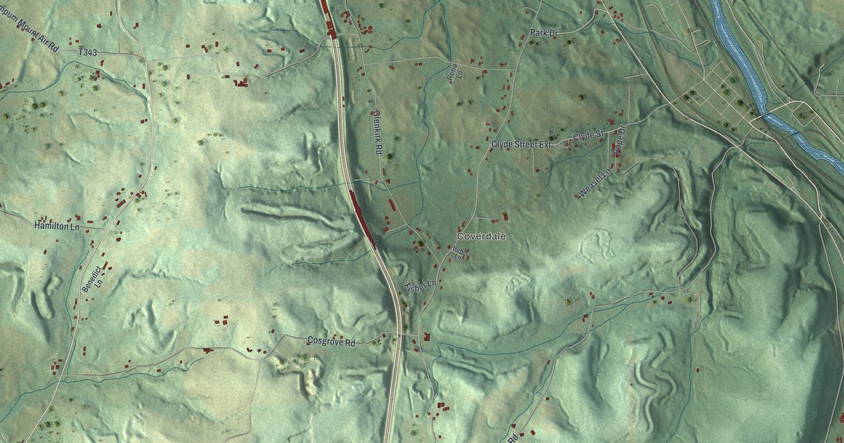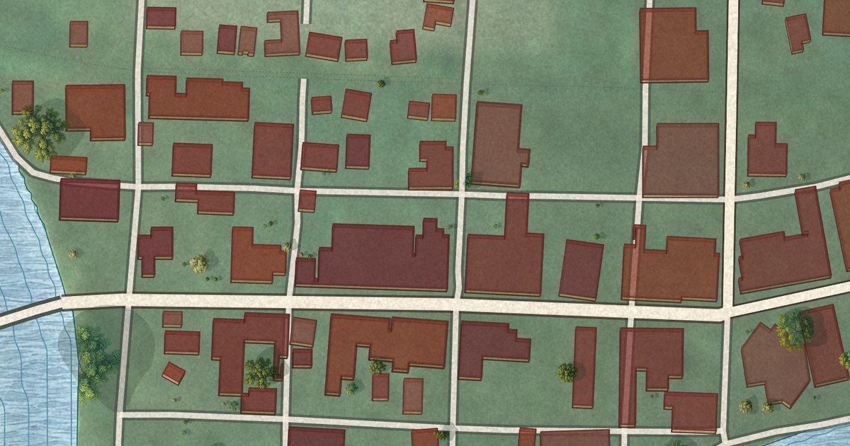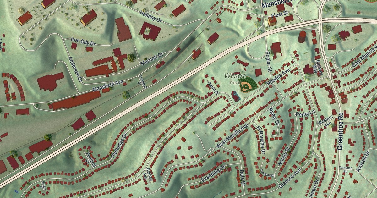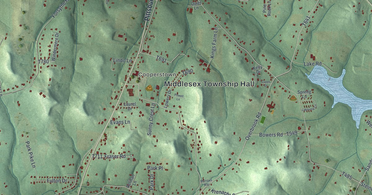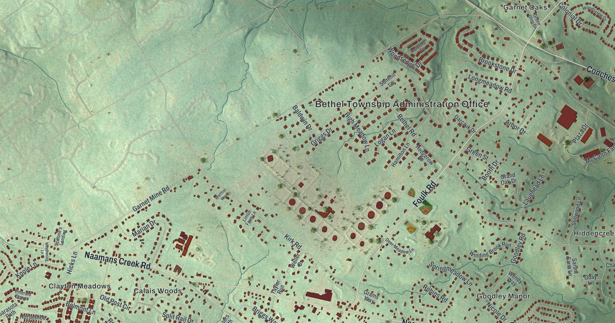
This beautifully detailed map of Bethel, Delaware County, Pennsylvania was created in 2026 using aerial imagery combined with modern topographical, census, street and landmark data. It’s a one-of-a-kind view of Bethel that combines accurate data with a vintage aesthetic. The map shows every building in its true location, many of the roads carry their names, and the shaded topographic relief shows the shape of the land.
Explore an aerial view of Bethel, Delaware County, Pennsylvania
On the map you’ll find Bethel Township Administration Office, Beau Tree, Brookcroft, Calais Woods, Cavagrado, Chelsea, Clayton Meadows, Garnet Oaks, Goodley Manor, Hiddencreek, North Chase, Scots Glen, and more. If you look closely you can even find your house accurately drawn in its correct location. Zoom in on the preview to look for yours.
Did you know this piece of Bethel, Delaware County, Pennsylvania history?
From Pa-roots.com: "John Gibbons, who settled on the tract of one hundred and fifty acres in Bethel, lying south of the boundary line of Concord township, in 1683, was the founder of one of the largest and most respectable families of the old county of Chester."
Take a closer look at the Bethel, Delaware County map
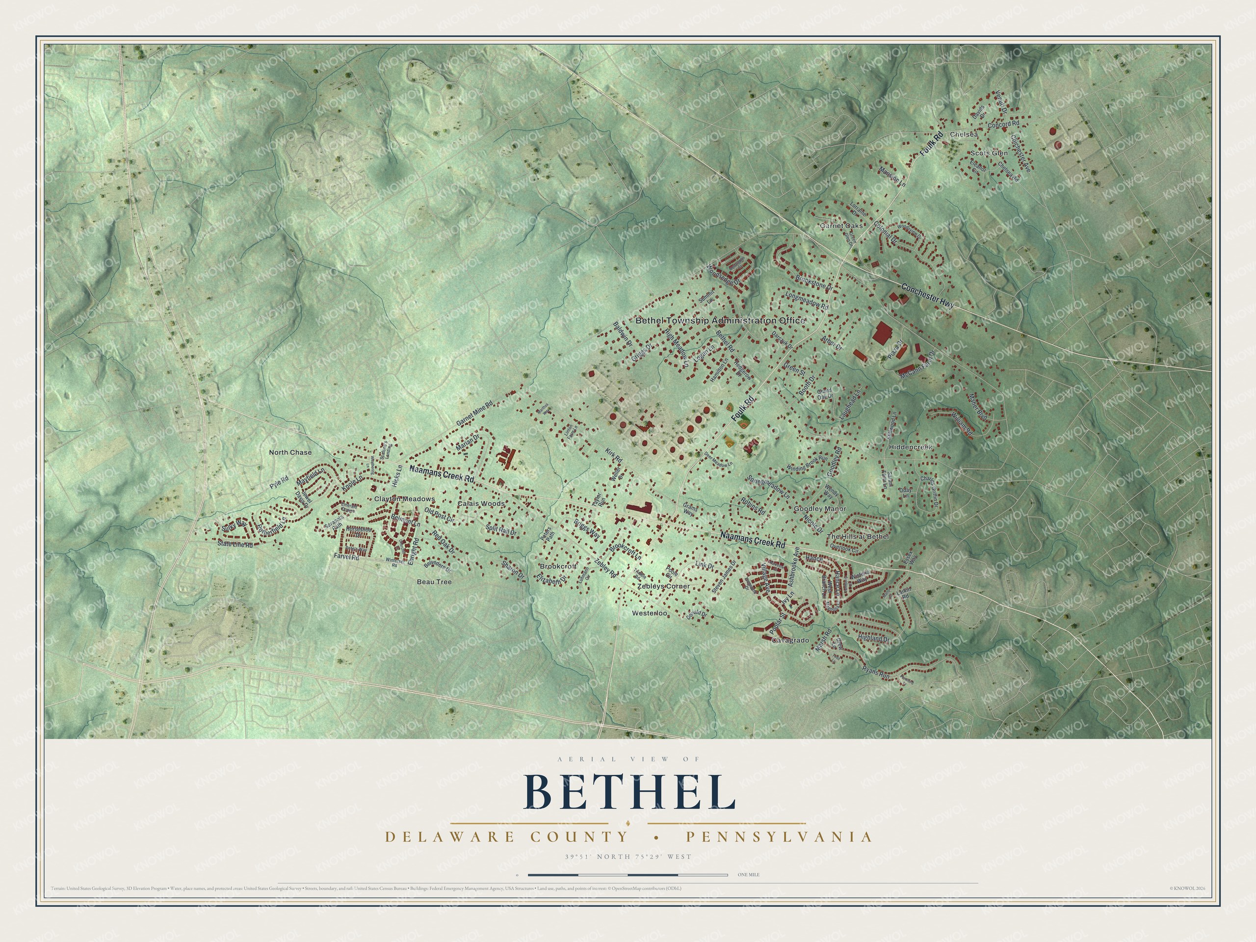
Street and place names on the Bethel, Delaware County, Pennsylvania map
These names are printed on the map of Bethel, Delaware County, Pennsylvania.
Places: Bethel Township Administration Office, Beau Tree, Brookcroft, Calais Woods, Cavagrado, Chelsea, Clayton Meadows, Garnet Oaks, Goodley Manor, Hiddencreek, North Chase, Scots Glen, The Hills at Bethel, Westerloo and Zebleys Corner.
Streets and roads: Foulk Road, Naamans Creek Road, Conchester Highway, Hance Lane, Farvel Road, Kirk Road, State Line Road, Garnet Mine Road, Bethel Road, Zebley Road, Pyle Road, Ryans Run.
More street names, A to Z
Arbor Drive, Ashbrooke Avenue, Baldwin Drive, Belmont Lane, Belvedere Drive, Booth Drive, Briggs Way, Brookcroft Lane, Brookstone Drive, Charles Griffin Drive, Chelsea Road, Chichester Avenue, Churchill Lane, Colonial Drive, Concord Road, Darczuk Drive, Davids Drive, Deer Meadow Lane, Dogwood Drive, Donald Drive, Drew Lane, Ebright Road, Eleanor Circle, Elizabeth Drive, Emerald Downs, Essex Way, Goodley Road, Grams Way, Grand Oak Drive, Green Glen Drive, Green Street, Griggs Drive, Hamilton Lane, Hance, Hedgerow Drive, Hicks Lane, Highland Drive, High Meadow Lane, Horseshoe Drive, Ivy Lane, Jewel Davis Drive, Knole Lane, Larkin Road, Laughead Lane, Link Drive, Linton Farm Lane, Logan Lane, Longmeadow Road, Lorraine Drive, Luhmann Circle, Magnolia Court, Maher Boulevard, Manor Court, Mansion Lane, Marian Drive, Marsh Road, Marthas Way, Mayfield Lane, McCann Farm Drive, McLaughlin Court, Nicole Drive, Oday Lane, Old Post Circle, Overlook Circle, Parkview Court, Pennford Place, Pete's Way, Peters Path, Plaza Drive, Poole Circle, Poplar Street, Red Oak Drive, Robins Road, Rotherfield Lane, Sarasota Path, Sarum Farm Lane, Scalone's Landing, Sharon Drive, Split Rail Drive, Springmeadow Lane, Steven James Drive, Stillwood Lane, Sulky Way, Summit Lane, Taylor Run, Todd Lane, Trimble Road, Turnberry Court, Venuti Drive, Village Avenue, Weathering Lane, Weller Drive, Wendy Way, West Branch Lane, William Road, Winding Brook Run, Winterset Road, Wisteria Way, Woodsedge Drive, Woodsview Drive.
See the Bethel, Delaware County, Pennsylvania map on a wall
The Bethel, Delaware County map as an 18 x 24 inch print in a black frame.

This beautifully detailed map of Bethel, Delaware County makes an attractive addition to your office, library, or den, and it can even be used to teach children the geography and history of the area. It also makes a great gift for someone who left Bethel and still calls it home. When you’re done exploring, click here to get your copy of the Bethel, Delaware County map.